


|
|
|
|
|
|
| Pablo Yáńez | profile | all galleries >> Places >> Google Earth-PBase Galleries | tree view | thumbnails | slideshow |
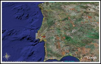 Tour of Portugal |
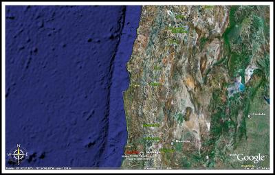 Tour of Northern and Central Chile |
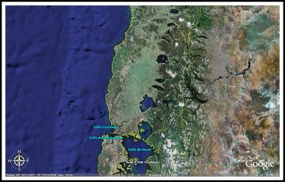 Tour of the Lake Region and Chiloe Island |
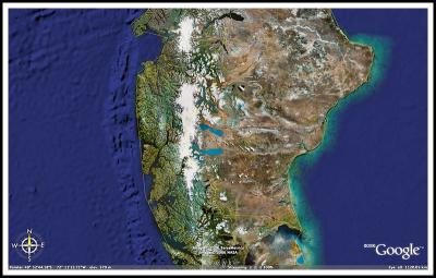 Tour of Chilean Patagonia |
| comment | share |
| Lillian Rodriguez | 03-Sep-2011 15:40 | |
| Kiriakos Korakis | 24-Jun-2007 06:24 | |
| Louise | 22-Jul-2006 03:23 | |
| Pablo Yáńez | 12-Mar-2006 16:12 | |
| Guest | 11-Mar-2006 21:51 | |
| Pablo Yáńez | 10-Mar-2006 17:13 | |
| KeeF | 10-Mar-2006 15:40 | |
| Guest | 10-Mar-2006 05:26 | |