


|
|
|
|
|
|
| Steve, Katherine, and Norah | profile | all galleries >> Galleries >> Grand Canyon 2015: The Escalante Route | tree view | thumbnails | slideshow |
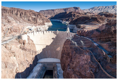
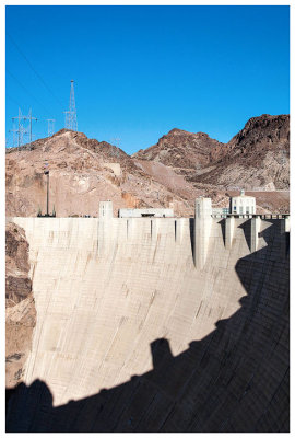 The Hoover Dam |
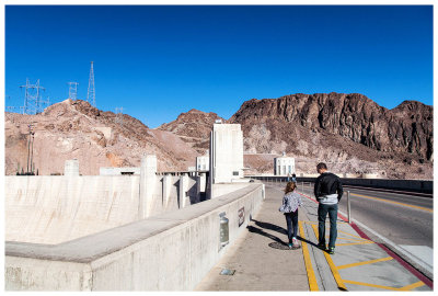 Steve and Norah walking along the dam |
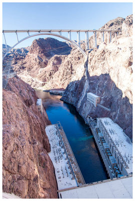 View of the new Memorial Bridge |
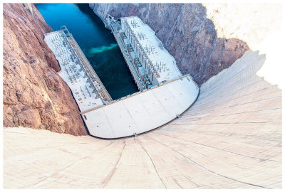 A long way down! |
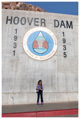 Norah at the Hoover Dam |
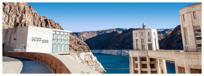 The Spillway House |
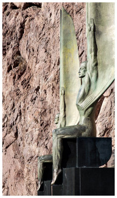 Winged Figures of the Republic |
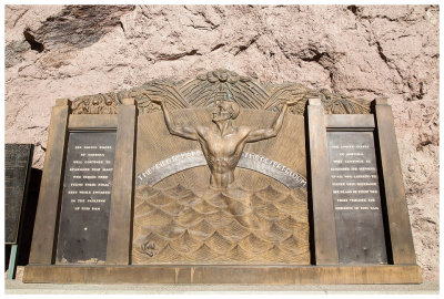 Hoover Dam Memorial |
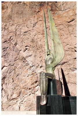 Winged Figures of the Republic |
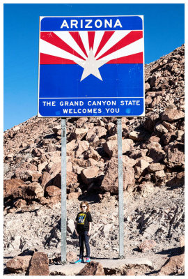 Welcome to Arizona! |
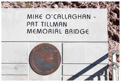 Entrance to the Mike O'Callaghan-Pat Tillman Memorial Bridge |
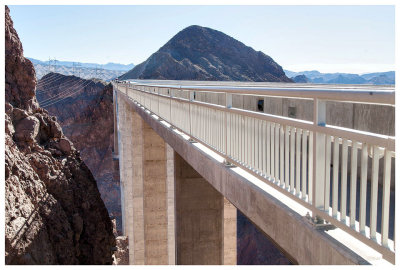 Walking across the Memorial Bridge |
 View of the Hoover Dam from the Memorial Bridge |
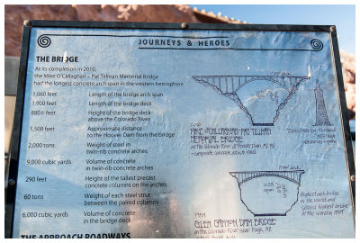 Info about the Memorial Bridge |
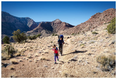
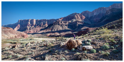
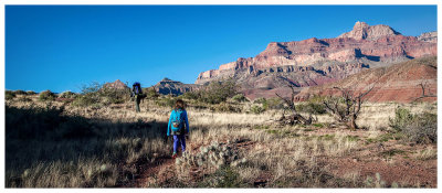
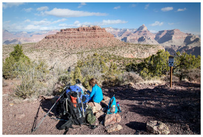
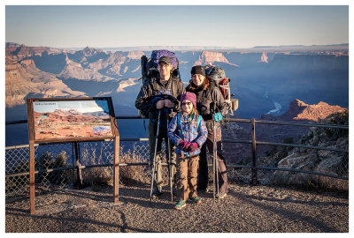 Ready to go at Lipan Point |
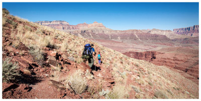
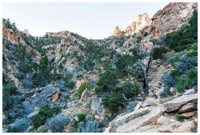 Steep descent down the Tanner Trail |
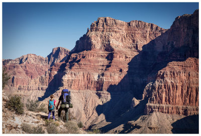
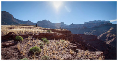
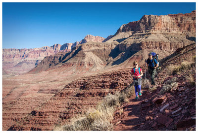
 Norah at the Seventyfive Mile Creek - Tanner Canyon saddle |
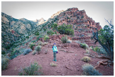
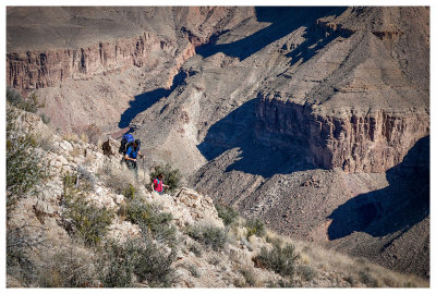
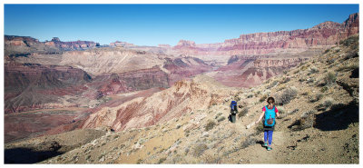
 The Supai Traverse |
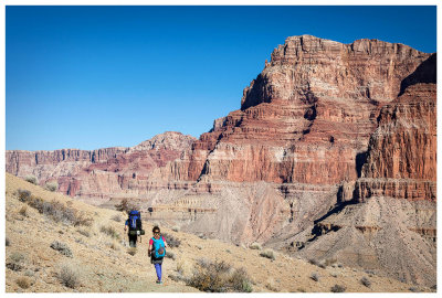
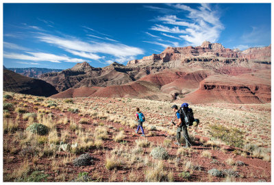
 Norah nearing the end of the Supai Traverse |
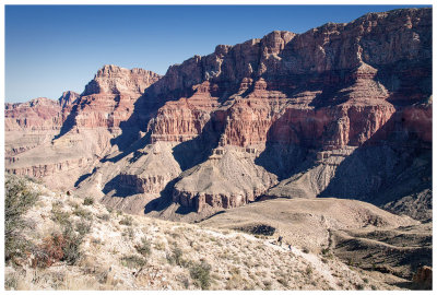
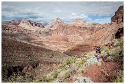
 A new view down the canyon |
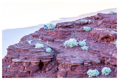
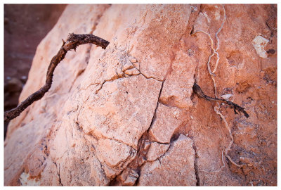
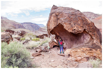
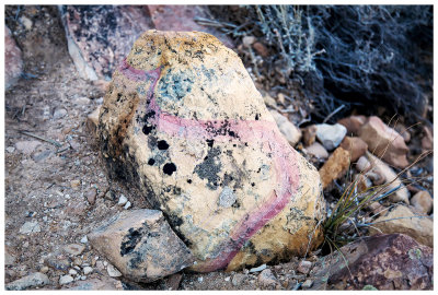 Interesting rock |
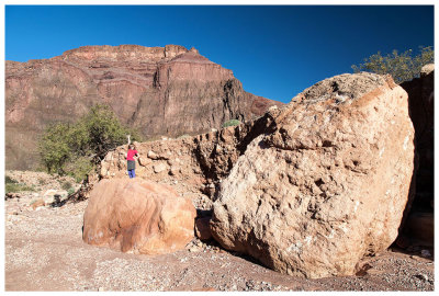
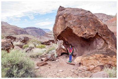
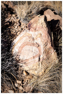 Bullseye Rock |
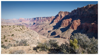
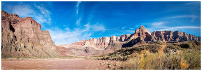
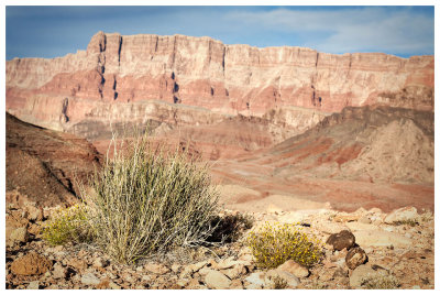
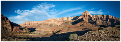
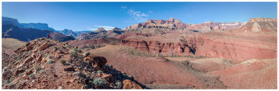
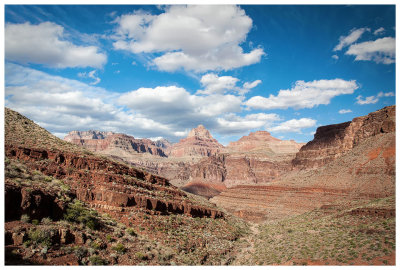
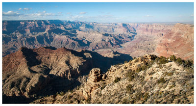
Panorama from the Redwall rim looking across to Palisades of the Desert |
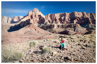
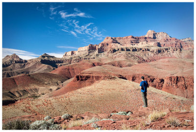
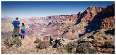 Steve and Norah at the Redwall rim |
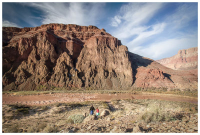
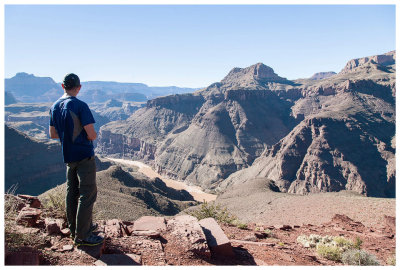
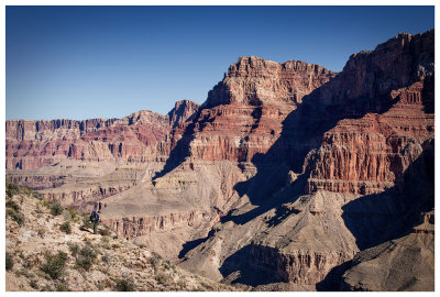 Comanche Point seen from the Redwall |
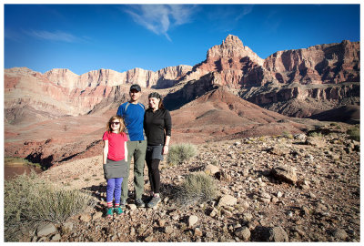
 Steve and Norah take in Comanche Point |
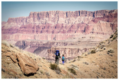
 Descending the Redwall |
 Tiny Steve and Norah on the Redwall descent |
 Another view of Comanche Point |
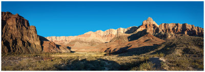
 Tapeats Saddle |
 Tapeats descent |
 Steve and Norah on the Tapeats descent |
 Beginning of the Dox Sandstone |
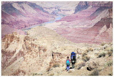
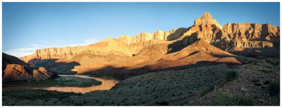
 Comanche Point from Tanner Beach |
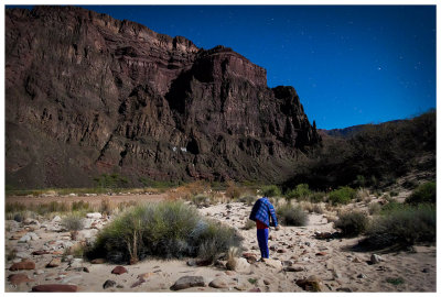
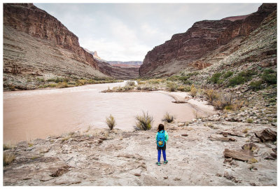
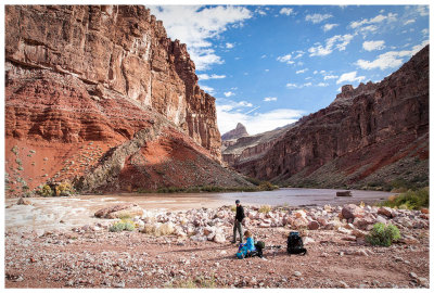
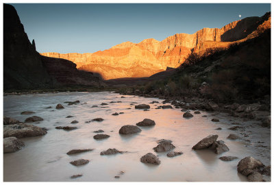 The Colorado River at Tanner Beach |
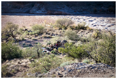
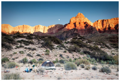 Our campsite at Tanner Beach |
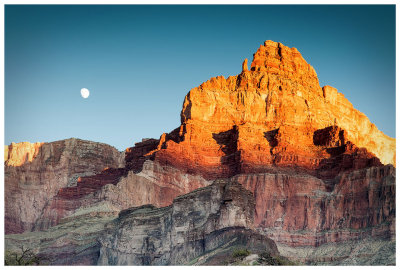 Moon rise by Comanche Point |
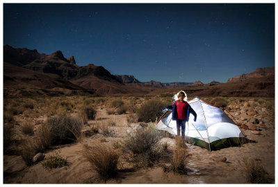
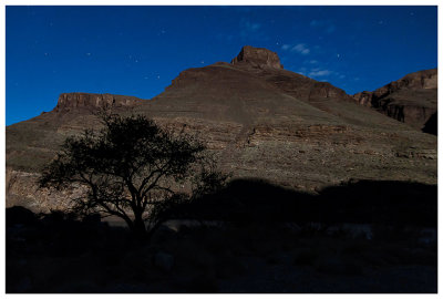
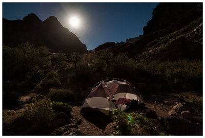
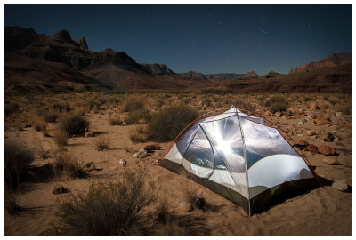 Tanner Beach campsite by moonlight |
 Spooky Norah |
 Watch out Steve! |
 Norah imitating a headless ghost |
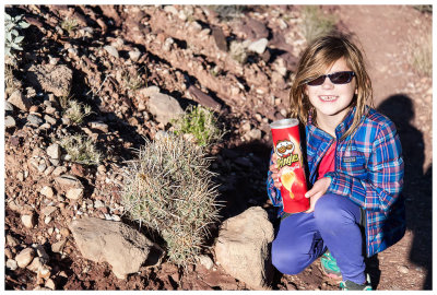 Barrel cactus and Pringles (a well known combination) |
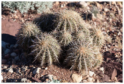 Barrel cactus |
 Great Blue Heron |
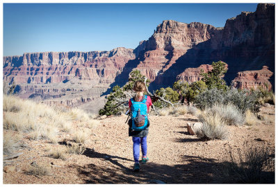
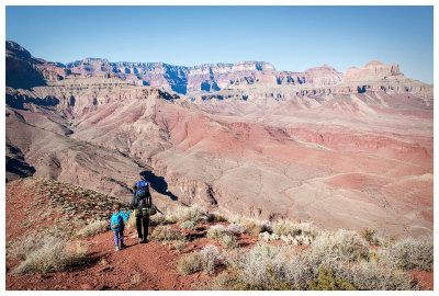
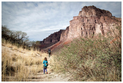
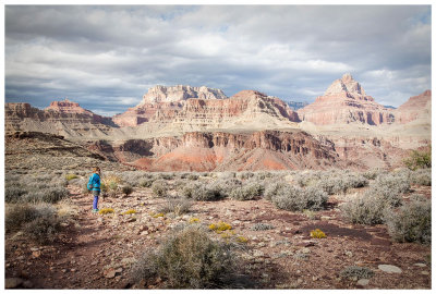
 Norah on the Beamer Trail |
 Rock scrambling in the wash |
 A persistent root |
 Comanche Point from the Colorado River |
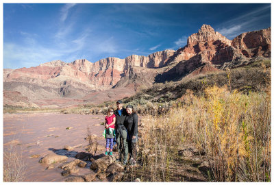 Family picture at Tanner Beach |
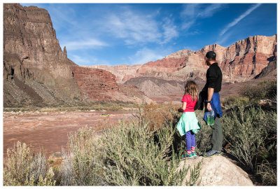
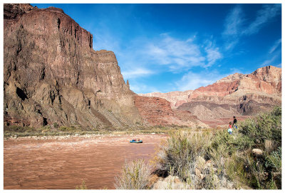 Here comes a rafting party |
 Watching the rafters negotiate the rapids |
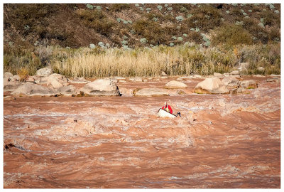
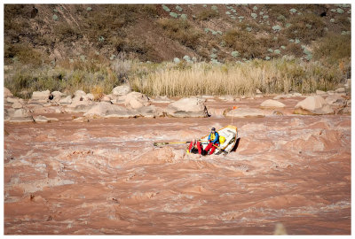
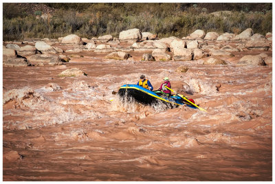 Raft in Tanner Rapids |
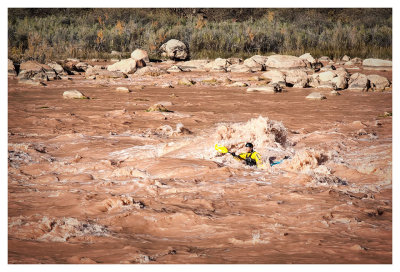 White water kayaker in Tanner Rapids |
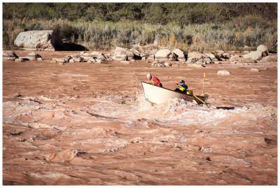 A different kind of river boat |
 Riding the rapids |
 Yikes! |
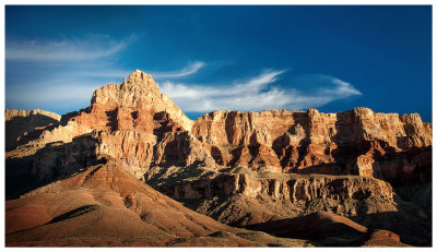
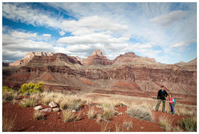
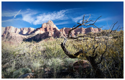 Comanche Point |
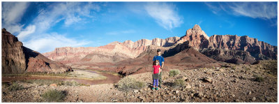 Panorama from Comanche Point overlook |
 Norah at an overlook of Comanche Point |
 Comanche Point overlook |
 Steve and Norah and Tanner Rapids |
 Typical desert plants at the overlook |
 The Colorado River and Comanche Point |
 Comanche Point looking orange |
 Sunset on Comanche Point |
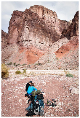
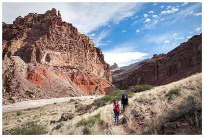
 Steve and Norah near Cardenas Creek |
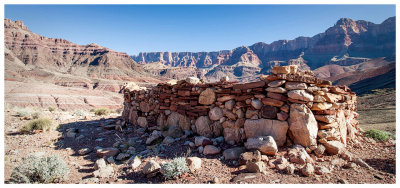 Hilltop Ruin |
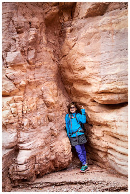
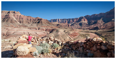 Norah at Hilltop Ruin |
 Hilltop Ruin views |
 Hilltop Ruin ridge |
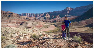
 Steve and Norah and a Hilltop Ruin panorama |
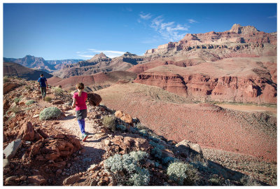
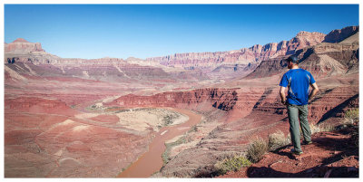
 Steve surveys our route |
 Heading in to the "unnamed drainage" |
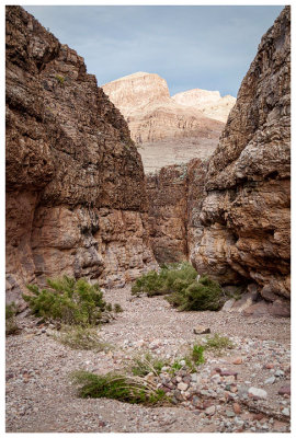
 Cliffs along the drainage |
 Drainage traverse |
 Steve and Norah traversing the drainage |
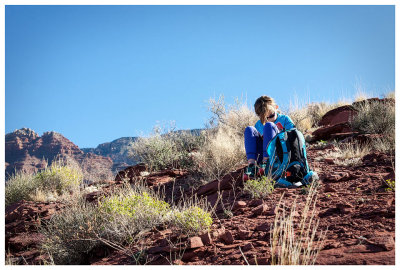 Norah pulls out her book on a break |
 View to the east |
 View to the west |
 Descending down to Escalante Creek |
 Norah looking very tiny in the canyon |
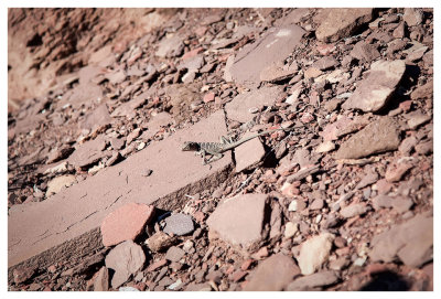 Lizard in Escalante Creek |
 Norah in a dry Escalante Creek |
 Hiking the creek bed |
 Dryfall in Escalante Creek |
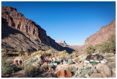 Our campsite at Escalante |
 Escalante campsite |
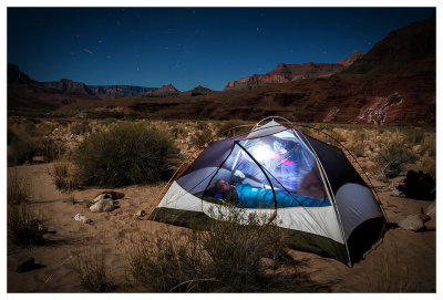
 Nighttime at Escalante |
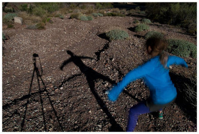 Playing with moon shadows |
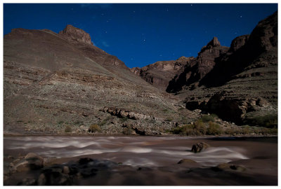 Colorado River by moonlight |
 Escalante campsite by moonlight |
 Looking back at Escalante as we hike on |
 Entering Seventyfive Mile Canyon |
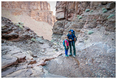
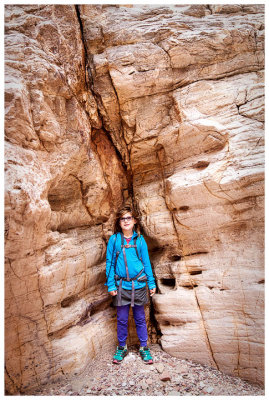
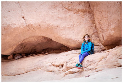
 Norah and her hurt finger in Seventyfive Mile Canyon |
 Seventyfive Mile Canyon |
 A little side climbing |
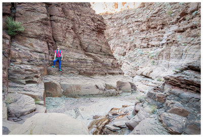
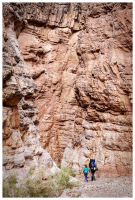
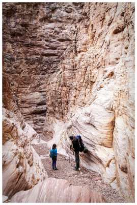
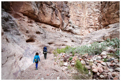
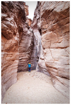
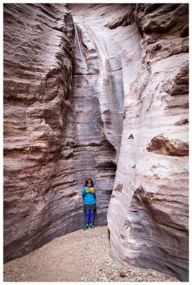
 Seventyfive Mile Canyon |
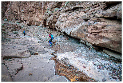
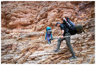
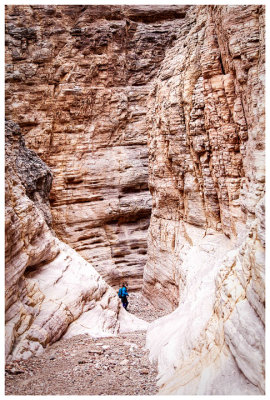
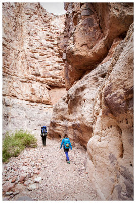
 Seventyfive Mile Canyon |
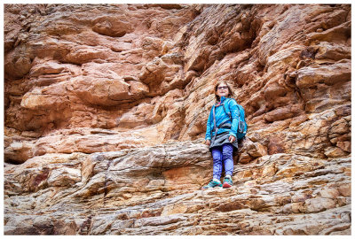
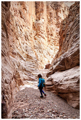
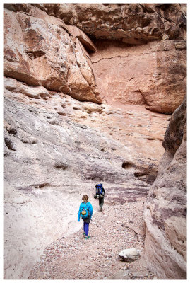
 Seventyfive Mile Canyon |
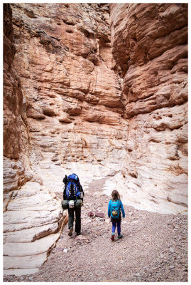
 Seventyfive Mile Canyon |
 Seventyfive Mile Canyon |
 Seventyfive Mile Canyon |
 Seventyfive Mile Canyon |
 Seventyfive Mile Canyon |
 Seventyfive Mile Canyon |
 Seventyfive Mile Canyon |
 The Papago dryfall |
 The Papago dryfall |
 The infamous Papago Wall |
 The end of the Escalante Route |
 Fantastic views at Hance Rapids |
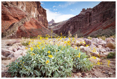 Brittlebush |
 Leaving Hance Rapids |
 Hiking the Tonto Trail from Hance Rapids |
 Monster rock along the Tonto Trail |
 Monster rock along the Tonto Trail |
 Hiking the Mineral Canyon rim |
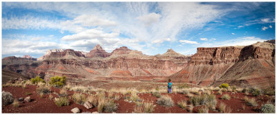
 Mineral Canyon view |
 Norah at Mineral Canyon |
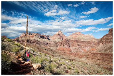
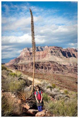 Big yucca plant |
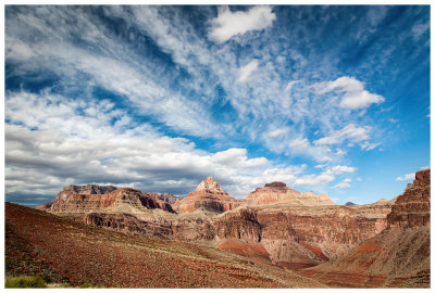 Mineral Canyon view |
 Panorama from the Ayer Point traverse |
 Steve and Norah on the Ayer Point traverse |
 Ayer Point trail |
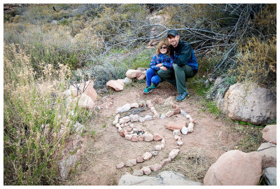 Fairy house at our Hance Creek campsite |
 Page Springs on the climb to Horseshoe Mesa |
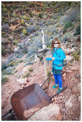
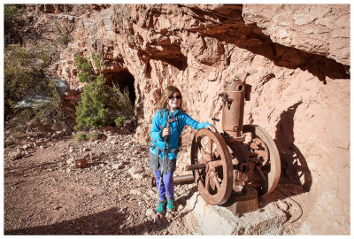 Old mining equipment |
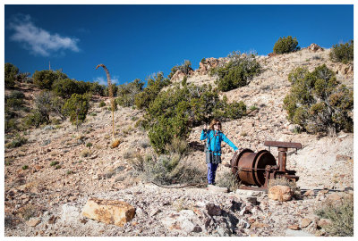 Old mining equipment on Horseshoe Mesa |
 Hiking on Horseshoe Mesa |
 Warning: radiation area |
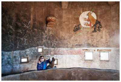 Norah at the Desert View Watchtower |
 Desert View Watchtower |
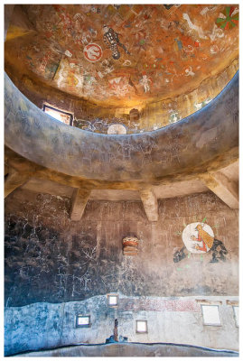
 Desert View Watchtower |
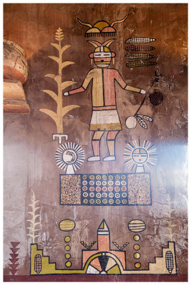
 Desert View Watchtower |
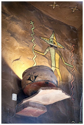
 Desert View Watchtower |
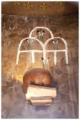
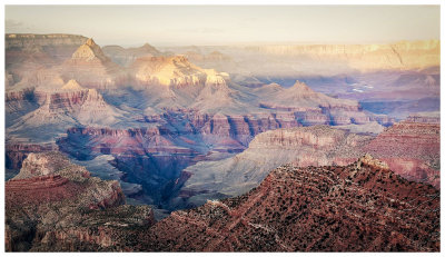
 Desert View overlook |
 Sunset from Grandview Point |
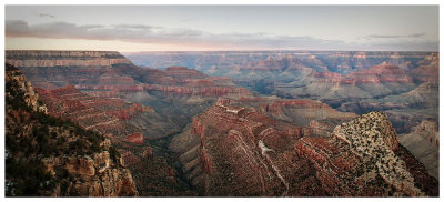 Sunset from Grandview Point |
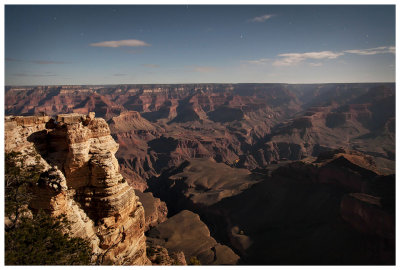
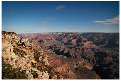 The Grand Canyon by moonlight |
 Phantom Ranch lights |
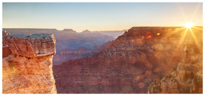 Grand Canyon sunrise |
 Norah "going big" at dessert |
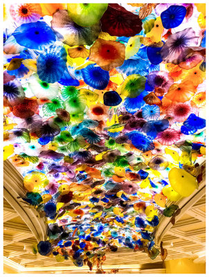 Bellagio glass flowers |
 New York, New York arcade |
| comment | share |