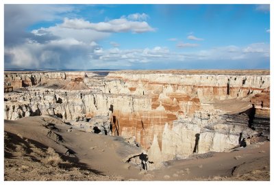
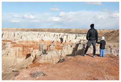
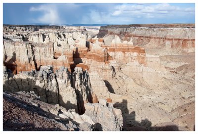
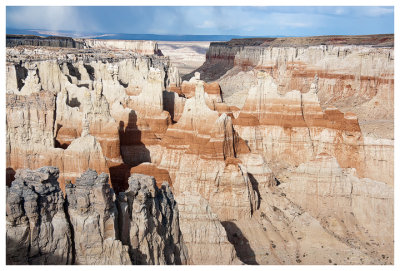
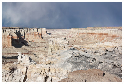
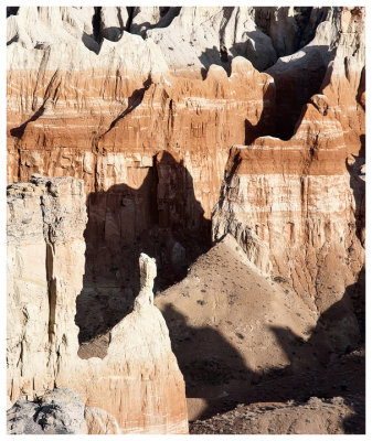
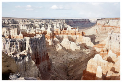
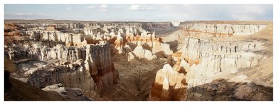
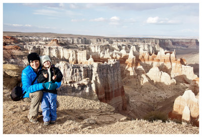
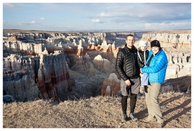
Coal Mine Canyon was a small detour on our way from the south rim of the Grand Canyon to Page, but well worth it. Coal Mine Canyon is reminiscent of Bryce Canyon, although smaller and not as orange. From "Photographing the Southwest", the canyon is made mostly of whitish Mancos shale and yellow and pink sandstone, with a thin stripe of black coal near the top. Part of the charm of this canyon is that you have no idea it’s there until that last minute when you drive up to the rim and the canyon is revealed (and you invariably go "wow!"). There are multiple viewpoints for the canyon and we visited the most popular one with the easiest access. But you have to know where you're going - there are no signs for the canyon at all. It's located less than a mile on a dirt road off of highway 264 (turnoff is around mile marker 337, 16 miles southeast of Tuba City). The canyon is on Navajo land and while you are free to wander around the rim, it’s prohibited to descend into the canyon.