


|
|
|
|
|
|
| Steve, Katherine, and Norah | profile | all galleries >> Peru 2018: The Alpamayo Circuit >> The Alpamayo Circuit >> Days 1 and 2: Cashapampa to Alpamayo Base Camp | tree view | thumbnails | slideshow |
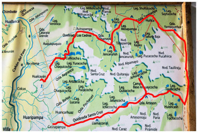 Map of our route |
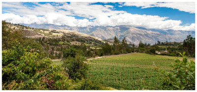 Farmland and the Cordillera Negra |
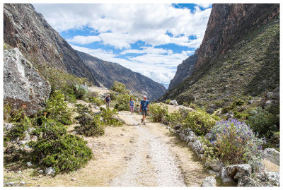
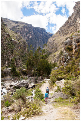 Into the canyon |
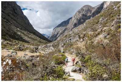
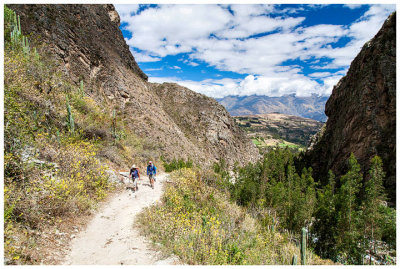 Climbing through the canyon |
 Climbing through the canyon |
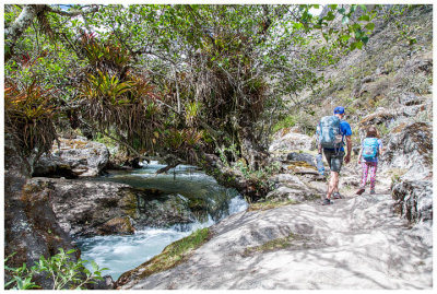 River in the Quebrada Santa Cruz |
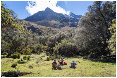
 Heading into the valley |
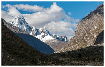 A glimpse of Tauilliraju from Llamacorral |
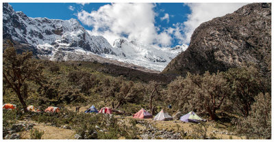
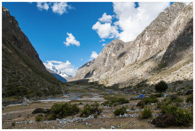 Llamacorral |
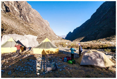 Morning at our Llamacorral campsite |
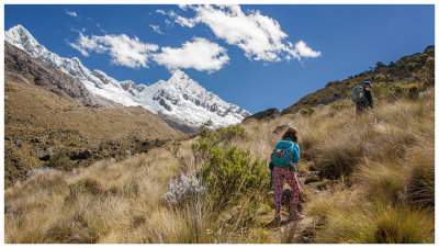
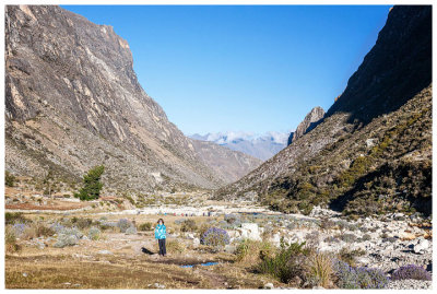 Hitting the trail on Day 2 |
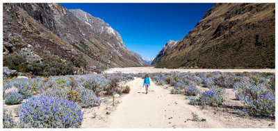
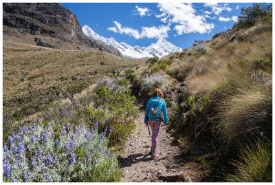
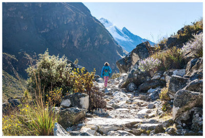 Norah on the trail |
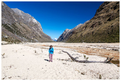 Norah in the sandy flats |
 Norah in the sandy flats |
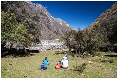 Break at Quishuar |
 Break at Quishuar before climbing up to base camp |
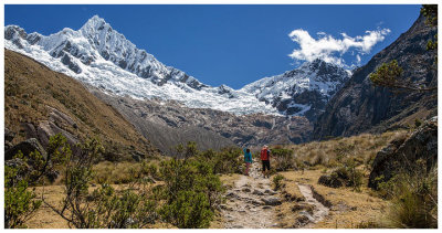
 Up to Alpamayo Base Camp |
 Up to Alpamayo Base Camp |
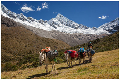 Donkey train |
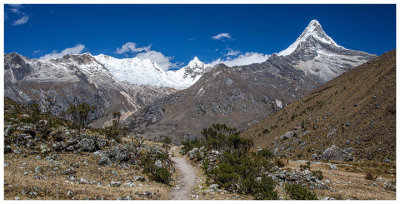
 Walking through the valley to base camp |
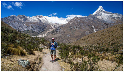 Steve and Artesanraju |
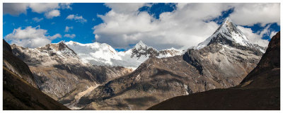
 Great views heading into camp |
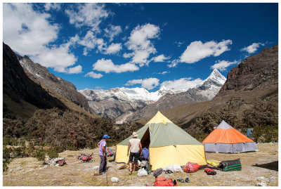 Campsite at Alpamayo Base Camp |
 Climbers tents at base camp |
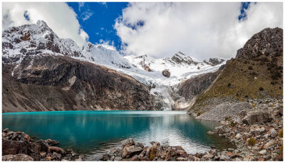 Laguna Arhueycocha |
 Artesanraju |
 Alpamayo |
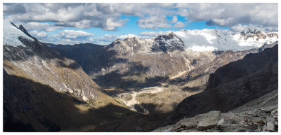
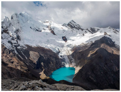 View of Laguna Arhueycocha from above |
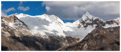
 Views from Moraine Camp |
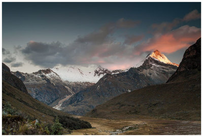 Sunset on Artesanraju |
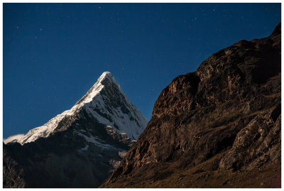 Artesanraju in the moonlight |
 Moonlit mountains |
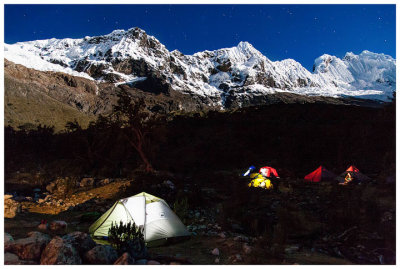
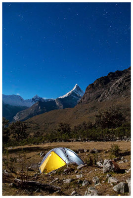 Campsite by moonlight |
| comment | share |