photo sharing and upload picture albums photo forums search pictures popular photos photography help login
photos_by_moon | profile | all galleries >> Old Iron Bridges of Texas >> Mt. Bonnell Rd. - Water Plant Rd., Travis County tree view | thumbnails | slideshow

Mt. Bonnell Rd. - Water Plant Rd., Travis County

A Warren Pony truss Bridge with a polygonal top chord spans another road in west Austin on Mt Bonnell Road. It looks like this bridge was built by the Austin Bridge Company, in 1922 and is 102 feet long, it has riveted connections. Also the same company built the new concrete replacement. It is closed to vehicle traffic and is placard Austin Landmark.

Location:
Latitude: 30.315635
Longitude: -97.773934

Sources:
Mapquest:
http://www.mapquest.com/maps/map.adp?searchtype=address&formtype=latlong&latlongtype=decimal&latitude=30.315635&longitude=-97.773934
Historic Bridges of the U. S.: http://bridgehunter.com/tx/travis/142270b01021001/
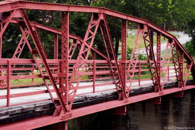
Mt Bonnell Br 18159.jpg
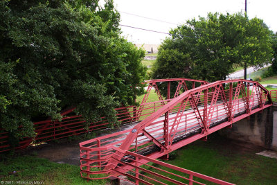
Mt Bonnell Br 18162.jpg
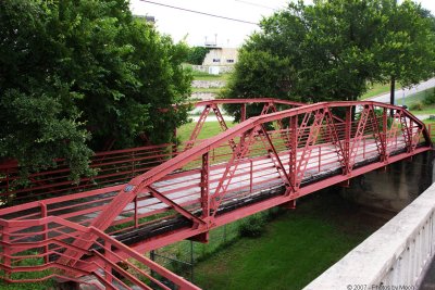
Mt Bonnell Br 18172.jpg
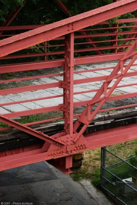
Mt Bonnell Br 18173.jpg
Mt Bonnell Br 18176.jpg
Mt Bonnell Br 18178.jpg
Mt Bonnell Br 18181.jpg
Mt Bonnell Br 18182.jpg
Mt Bonnell Br 18185.jpg
Mt Bonnell Br 18189.jpg