


|
|
|
|
|
|
| Sam Rua | profile | all galleries >> 2017 Solar Eclipse Trip >> 2017 Solar Eclipse Travelogue | tree view | thumbnails | slideshow | map |
A compilation of travel reports along the way up to see the eclipse and then back home.
The odometer showed 4,480 miles for the round trip, averaging over 370 miles each day.
Some more mind-boggling numbers:
Total number of images >4,600 (granted most were a series of 3 bracketed shots,
so the actual number of “photos” is likely closer to 1,600 — if I get 1% keepers then I’ll be happy)
Total number of drone flights: 30 (flight locations marked by red + on the map below)
Total time for aerial videos taken: 5 hrs, 46 minutes, 0 seconds (That's a TON of flying for me)
Totality time: 2 minutes, 6 seconds (the main reason why I took this trip was for those precious 126 seconds)
Latest upload is at the end of the gallery.

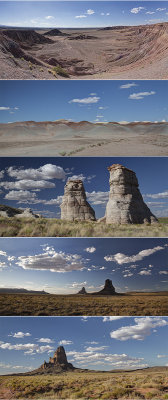 Day 1 on Navajo Nation |
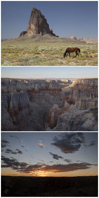
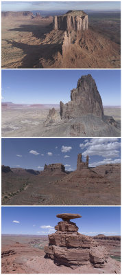
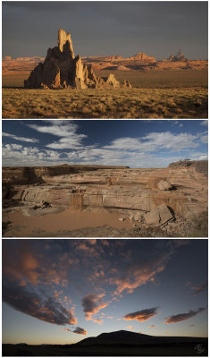 Day 2 on Navajo Nation |
 Day 3 on Navajo Nation |
 Day 4, Aerial Perspectives Leaving Navajo Nation |
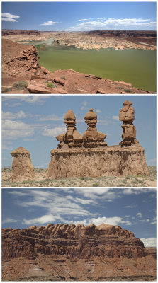 Day 5 in S. Utah |
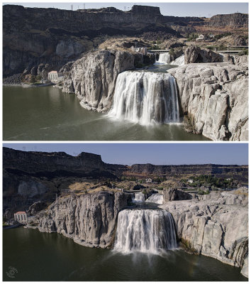 Day 6 Eclipse Trip Out of Utah |
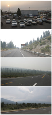
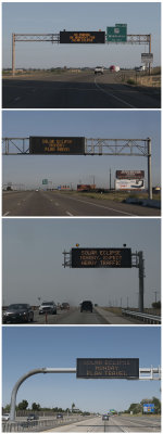 Day 7, Signs of the Times |
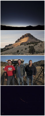 Day 8 Eclipse Trip - Contact |
 Day 9 Eclipse Trip - Homeward Bound |
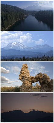 Day 10 California Nevada California |
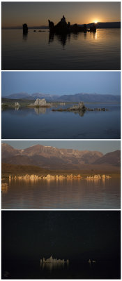 Day 11 Eclipse Trip - Mono Lake Tufas |
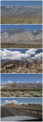 Day 12 Passing by the Sierra Nevada Range and Death Valley |
 Day 13 Eclipse Trip -- Last Leg Home |
| comment | share |
| Paolo Peggi (aka Bracciodiferro) | 30-Sep-2017 05:42 | |
| Helen Betts | 11-Sep-2017 00:41 | |
| Zoltán Balogh | 03-Sep-2017 08:05 | |
| Marcia Rules | 02-Sep-2017 17:42 | |