


|
|
|
|
|
|
| Paul Lantz | profile | all galleries >> Galleries >> Englehart and area | tree view | thumbnails | slideshow |
| previous page | pages 1 2 3 4 5 6 7 8 9 10 ALL | next page |
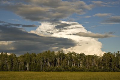 Dark and light clouds along Sutton Road |
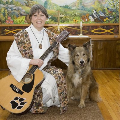 Reverend Linda Martin at St. Paul's United in Charlton |
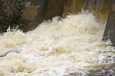 Faster exposure shot of water at dam along Highway 573 |
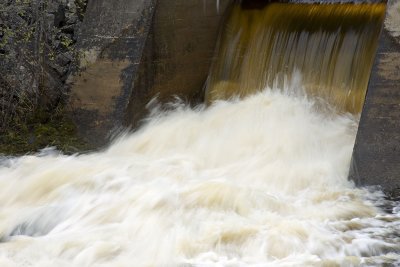 Slow exposure shot of water at dam along Highway 573 |
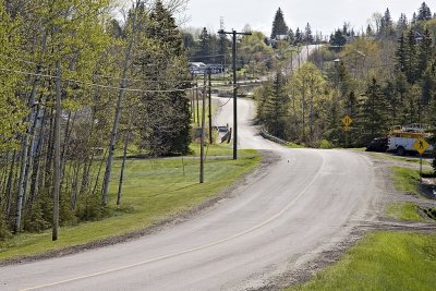 Highway 573 through Charlton, Ontario |
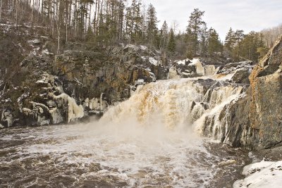 Kapkigiwan High Falls Christmas Day 2006 |
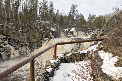 Middle observation deck Kapkigiwan |
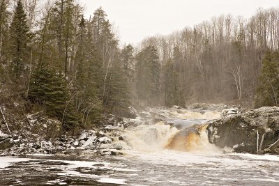 Hell's Gate Rapids at Kapkigiwan |
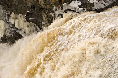 Water and ice at Kapkigiwan High Falls |
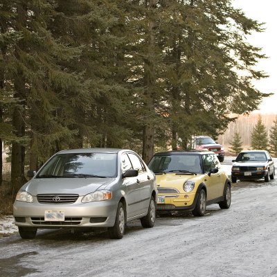 Christmas Eve parking |
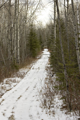 Former Ontario Northland right of way in Dack Township west of Englehart |
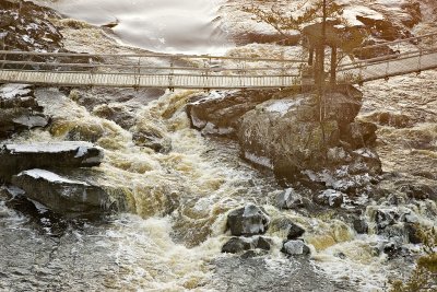 Part of suspension bridge at Kapkigiwan Park |
| previous page | pages 1 2 3 4 5 6 7 8 9 10 ALL | next page |
| comment | share |
| Gary | 14-Apr-2013 00:51 | |
| Guest | 04-Nov-2010 22:29 | |
| Gary McPherson | 12-Jul-2008 17:22 | |
| W.Self | 22-Feb-2008 17:27 | |
| Carl Z | 16-Oct-2006 02:38 | |
| tony bennett | 25-Sep-2006 07:33 | |
| Guest | 18-Jun-2006 15:34 | |