


|
|
|
|
|
|
| PadrePoint | profile | all galleries >> Miscellaneous Galleries >> A Drawdown of the Wisconsin River - Stevens Point | tree view | thumbnails | slideshow |
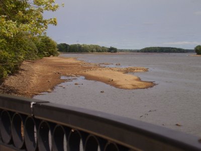 The rockpile that got a-hold of the skeg some years back... Peder's friends hear wider aspects of Peder's vocabulary. |
 Yup... this would be the rock pile Peder ran into a few years ago when skiing with friends. |
 Peder's friends said they didn't think Peder even KNEW the words he "exclaimed" when he discovered he pulverised the prop. |
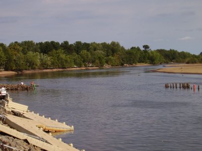
 Looking up to Bukholdt Park... a series of anchor pilings form the logging era |
 Pifner park up to Bukholdt... lots of shallow rock |
 Yup, lots of hidden stuff. |
 Farther up the river at the narrow curve... marked with bouys... now I see why. |
 Note the red bouy marking the "edge" of the channel. |
 Looking UP the river... |
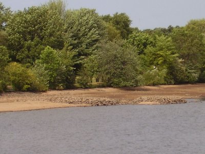
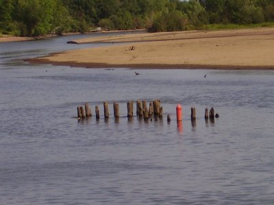
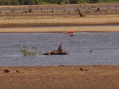
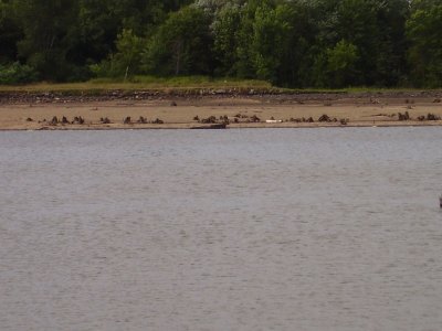
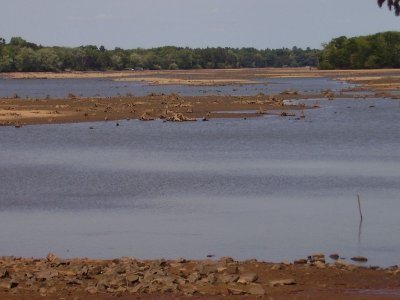
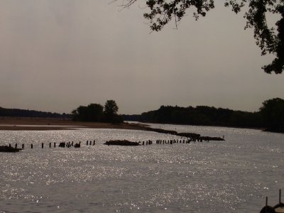 Some more of the stumps and pilings that grace the river, waiting for hapless props and lower units. |
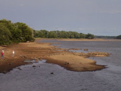
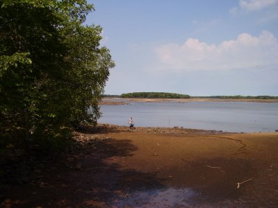
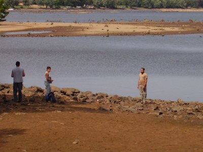
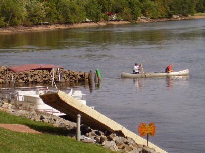 A couple folks go explorin'. |
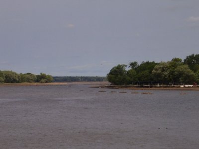
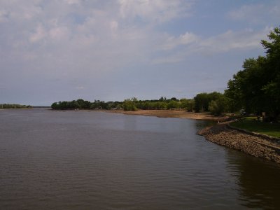
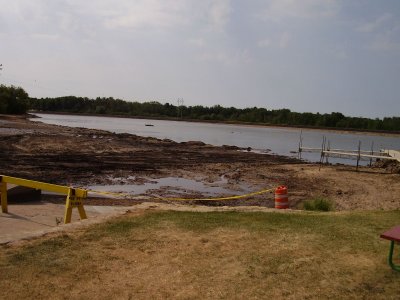
 The Club 10 area |
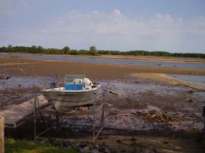
 High and dry... |
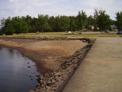
 Looking across to the "bay"... now above water. |
 Rocks and stumps |
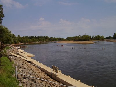
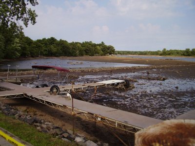
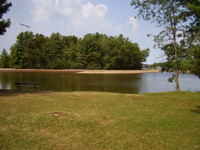
 Low water makes a chance to reshape the landing area. |
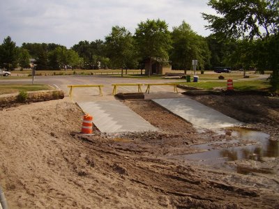 ...AND pour new landings... MUCH better! |
 Looking across to where the "shallow water" bouys are... note the bouy laying between stumps... SHALLOW?? Ya think? |
 Looking the other direction toward the lagoon area. |
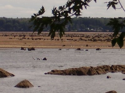
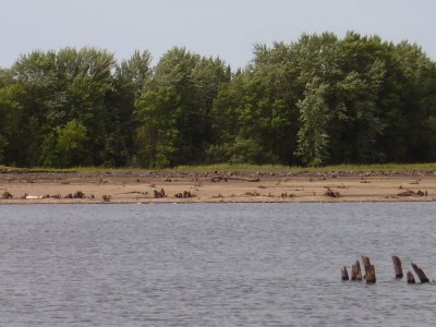 Sheeze... stumps in the middle of things... how many props have these snagged? |
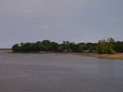
 The island is "bigger" |
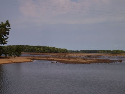 The bay north of the island. |
 The lagoon empties here. |
 The bay |
 Some folks doing actual research on the river bottom. |
| comment | share |