


|
|
|
|
|
|
| John Scurlock | profile | all galleries >> Coast Mountains: British Columbia >> The Whitemantle Range | tree view | thumbnails | slideshow | map |

These photographs were obtained during two flights:
January 12, 2007, while enroute to Mt. Waddington from Campbell River, and May 9, 2008.
Note that many features of the Whitemantle Range are unnamed.
For map reference, see map 92 N/3, Whitemantle Creek.
Reference: Exploring The Coast Mountains On Skis, 3rd ed., (John Baldwin, 2009)
_____________________________________________________________________________________
THE IMAGES PRESENTED HERE HAVE BEEN DOWN-SIZED FROM THE ORIGINAL DIGITAL FILES.
Full-resolution color prints are available by request.
_____________________________________________________________________________
All Images Copyright 2004/20014, John Scurlock, Photographer & Pilot.
| previous page | pages 1 2 ALL | next page |
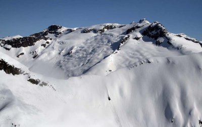 Whitemantle Range: Wahkash Pk, S Slopes (WMantle1-050908-_0089.jpg) |
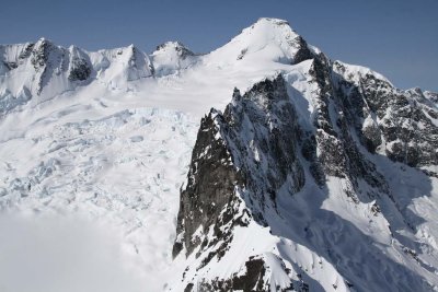 Stanton, NE (L) & N Faces (WMantle1-050908-616.jpg) |
 Stanton, N Face (WMantle1-050908-635.jpg) |
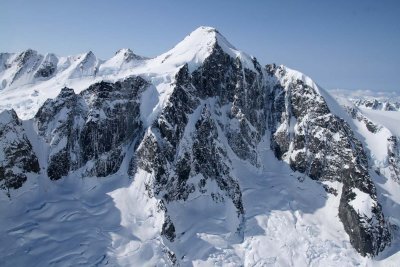
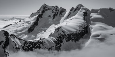
 Pk 8266, View S (WMantle1-050908-_0007adj.jpg) |
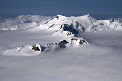
 Brig Peak From The West (WMantle1-050908-_0216-5.jpg) |
| previous page | pages 1 2 ALL | next page |