photo sharing and upload picture albums photo forums search pictures popular photos photography help login
John Scurlock | all galleries >> The Central & North Central Cascades >> Clark Mt and the DaKobed /Ten Peak Ranges > L to R: Napeequa, Pt 7529, Glacier Peak
(Napeequa120807-_12.jpg)
previous | next
08-DEC-2007

L to R: Napeequa, Pt 7529, Glacier Peak
(Napeequa120807-_12.jpg)

view map

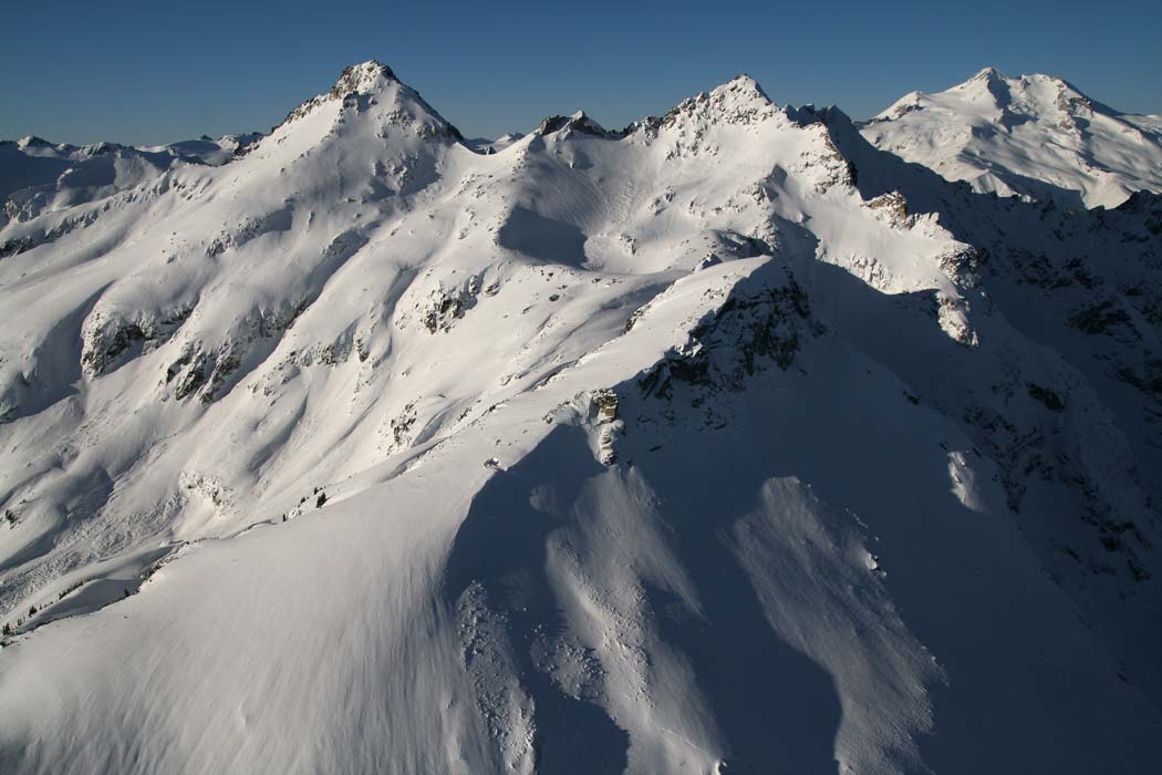
The view looks WSW.
Cirque Mt is partially hidden by Pt 7529.

Napeequa Pk: 48° 06' 14"N, 120° 58' 19"W
Topographic Map

Canon EOS Digital Rebel XTi
1/1250s f/8.0 at 17.0mm iso200 full exif

other sizes: small medium large original auto
share