


|
|
|
|
|
|
| John Scurlock | profile | all galleries >> Coast Mountains: British Columbia >> Garibaldi & Tantalus | tree view | thumbnails | slideshow | map |

Gallery map link: Garibaldi & Tantalus
All images in this gallery are geotagged.
These photographs were obtained during a flight conducted on May 14, 2007.
________________________________________________________________________________
THE IMAGES PRESENTED HERE HAVE BEEN DOWN-SIZED FROM THE ORIGINAL DIGITAL FILES.
Full-resolution color prints are available by request.
____________________________________________________________________________________________________
All Images Copyright 2006/2007, John Scurlock, Photographer & Pilot.
| previous page | pages 1 2 3 ALL | next page |
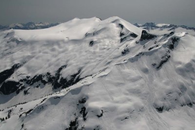 Phantom Mt, View SW (Tantalus051407-_230.jpg) |
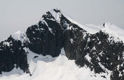 Tzoonie Mt, E Face (Tantalus051407-_245.jpg) |
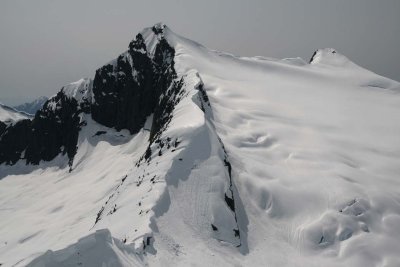 Tzoonie Mt, Upper E/NE Slopes, View W (Tantalus051407-_253.jpg) |
| previous page | pages 1 2 3 ALL | next page |