


|
|
|
|
|
|
| John Scurlock | profile | all galleries | recent | tree view | thumbnails |


_____________________________________________________________________
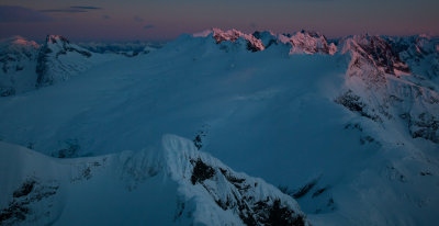
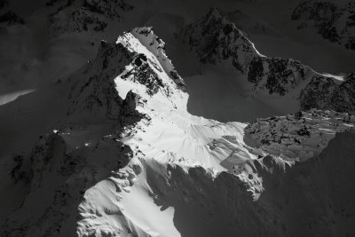
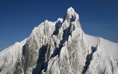
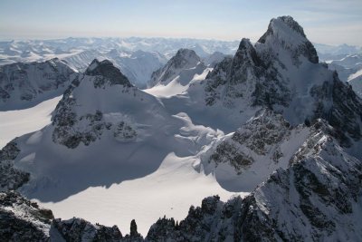
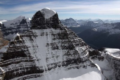
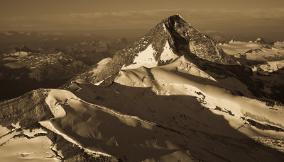
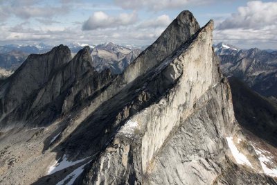
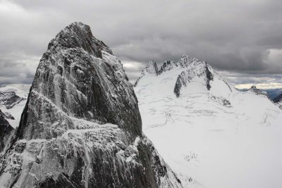
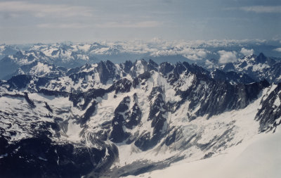
Snow & Spire:
Flights to Winter in the North Cascade Range

_____________________________________________________________________
Comprehensive Gallery Satellite View
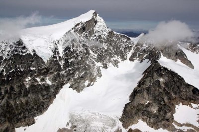
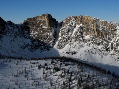
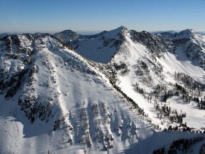
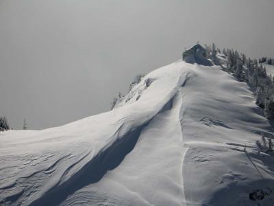
These galleries contain aerial photographs of the Cascade Range in Washington,
the Coast and Columbia Mountains of British Columbia, and the Canadian Rockies.
Also included are galleries containing images of many mountains and glaciers in
Oregon, Montana, Wyoming, Idaho, and California.
The images are selected from a collection that currently contains approximately 200,000 digital images.
The photographic platform is my Van's RV-6 home-built airplane - www.vansaircraft.com
All photography is conducted through the 1/4" plexiglas canopy.
I am currently using a Canon 5DMkIV 31 MP digital SLR camera.
I previously used other Canon cameras as well: G2 (4 MP), G6 (7 MP), 400D SLR (10 MP),
450D (12 MP), 5DmkII (21 MP), and 5DMkIII (22 mp).
To see a list of all galleries & sub-galleries, click
HERE.
For an account of a photographic flight, I invite you to read the article I wrote for
Northwest Mountaineering Journal, Issue 2 (2005): Flight to Desolation
John Scurlock, Photographer & Pilot
Concrete, Washington
Image usage rights and full-resolution prints are available by request.
Prints are available in a wide variety of sizes and formats.
Contact: info@jaggedridgeimaging.com
Or visit my website:
January 1, 2023
THE IMAGES PRESENTED HERE HAVE BEEN DOWN-SIZED FROM THE ORIGINAL DIGITAL FILES.
____________________________________________________________________________________________________
All Images Copyright 2002/2025, John Scurlock, Photographer & Pilot.
<< In Box >> |
<< The Monochromatic Mountain >> |
<< Mt. Waddington >> |

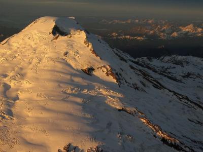
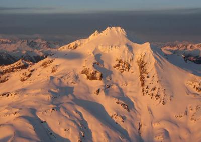
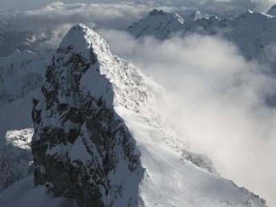
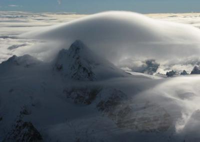
<< North Cascades :: Winter >> |
<< Coast Mountains: British Columbia >> |
<< The Canadian Rockies >> |
<< Columbia Mountains >> |
<< The Purcells >> |
<< The Bugaboos >> |
<< Conrad Kain's First Ascents >> |
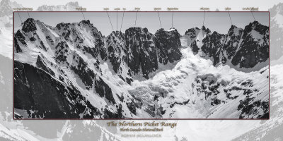
<< The Pasayten Wilderness >> |
<< Chelan/Sawtooth Mountains >> |
<< Winter Fire Lookouts of the Northern Cascades >> |
<< The North Cascades: Spring/Summer/Fall >> |
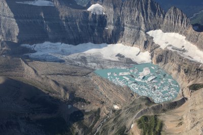
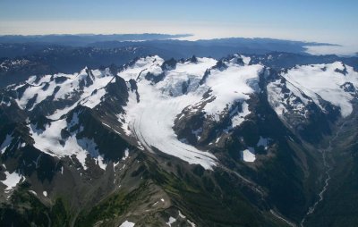
<< Glaciers of the North Cascades >> |
<< Glaciers Of Olympic National Park >> |
<< Glaciers & Mountains Of Southern Washington, Oregon, & California >> |
<< Glaciers Of Colorado, Idaho, Montana, & Wyoming >> |
<< Glaciers Of The Western United States >> |
<< Mount Baker >> |
<< Glacier Peak >> |
<< The Central & North Central Cascades >> |
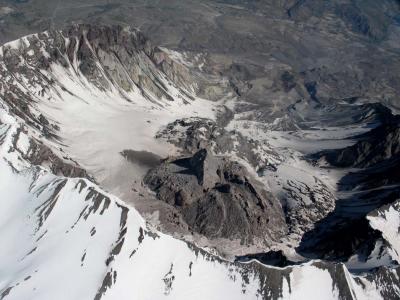
<< Mt. St. Helens >> |
<< Travels In Wild Places >> |
<< links >> |
<< Jagged Ridge Imaging >> |
<< RETROSPECTIVE >> |
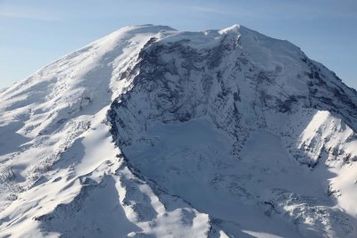
<< Mt. Rainier >> |
<< Friends & People >> |
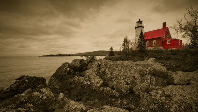
<< Civilization >> |
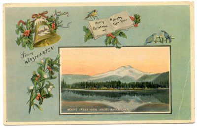
<< Old Postcards >> |
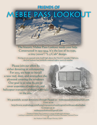
<< Friends of Mebee Pass Lookout >> |
|
<< Volcanoes Of Western North America >> |
<< Mountains & Glaciers Of The Olympics >> |