


|
|
|
|
|
|
| Jiasong Zhu | profile | all galleries >> My Travel >> Tibet 2007 西藏 >> En-route in Tibet 沿途风情 | tree view | thumbnails | slideshow |
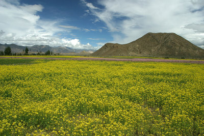 Rapeseed fields close to Shigatse |
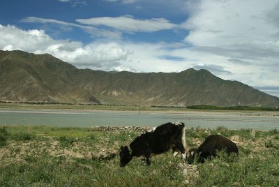 Roaming along the river |
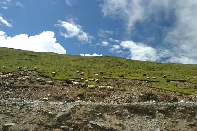 Sheeps climbing the mountain |
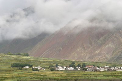 Morning fog lifts above a small village |
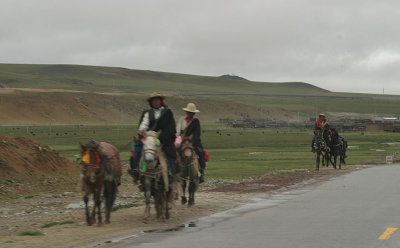 Nomads on the road |
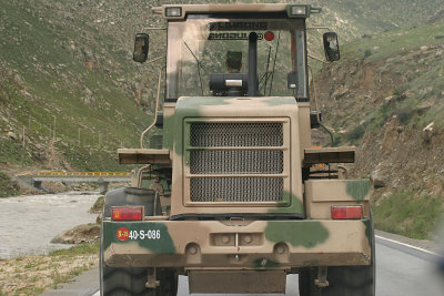 Following a military bulldozer |
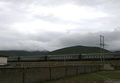 Train rushed by on Qin Zang Railroad |
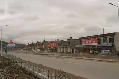 Downtown DangXiong, a small town on the Qin Zang Highway |
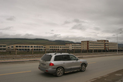 School building next to the stores in downtown DangXiong, it's a remarkable sight and shows education is valued here |
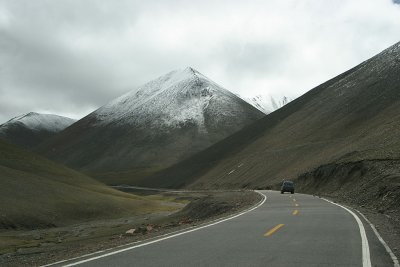 Climbing towards Na Ken La Pass |
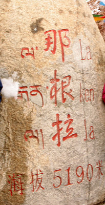 Na Ken La Pass |
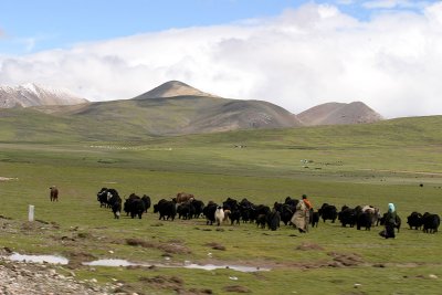 Nomads and their yaks. |
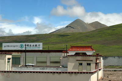 At about 4500m, one of the highest bank branches in China |
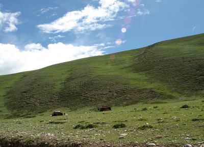 Tents for the nomads |
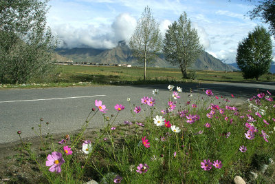 Morning sunshine and the village in the distance |
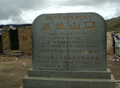 Mi La Pass |
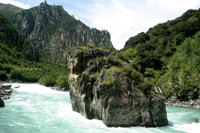 A lone rock in the middle of Ni Yang River |
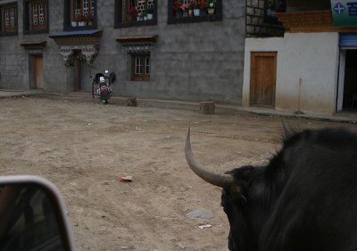 Our yak escort |
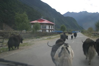 Traffic jam, Tibetan-style |
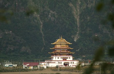 A small temple in the distnace |
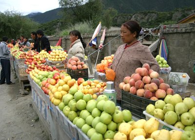 Fruit vendors. |
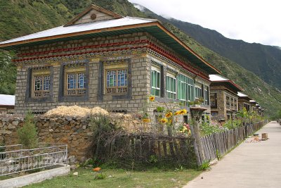 Tibetan village with traditional dwellings |
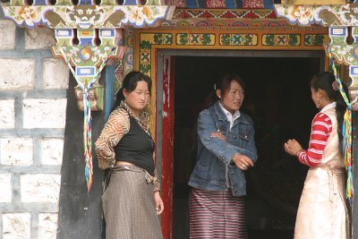 Gossip |
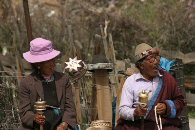 Older generation |
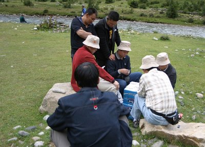 Card game on the side of the Chuan Zang Highway |
| comment | share |
| Melissa | 19-Nov-2007 15:01 | |