


|
|
|
|
|
|
| Mosby Heritage Area Association | profile | all galleries >> Galleries >> Travel Through History: The Village of Bluemont | tree view | thumbnails | slideshow |
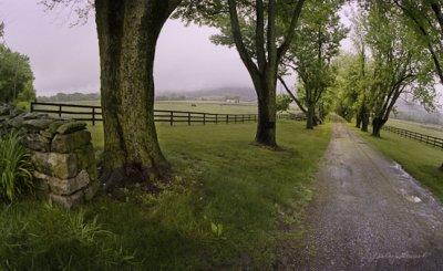
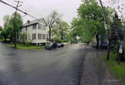 Bluemont, Rainy Morning |
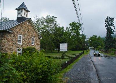
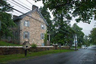 Clayton Hall, Bluemont |
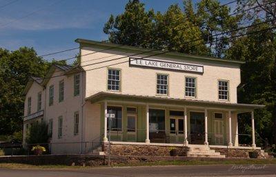 E.E. Lake General Store, Bluemont |
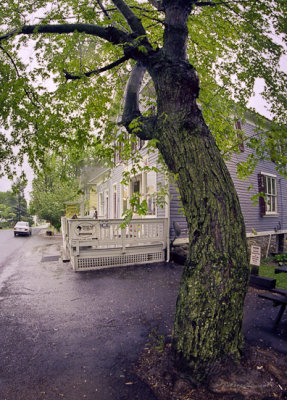 Bluemont Country Store |
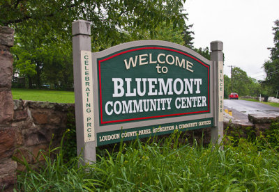 Welcome Sign |
 Bluemont Community Center |
 United Methodist Church, Bluemont |
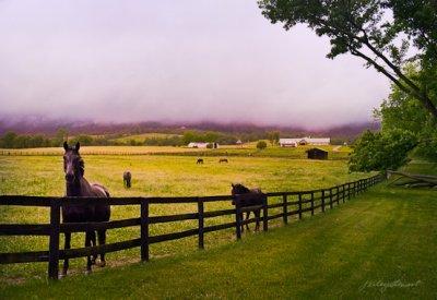
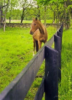 Bluemont Pasture |
 Along Foggy Bottom Road. |
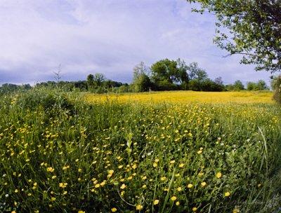 Field of Buttercups |
 Lifting Clouds, Bluemont |
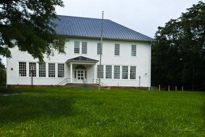
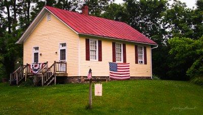 Little Yellow Schoolhouse, near Bluemont |
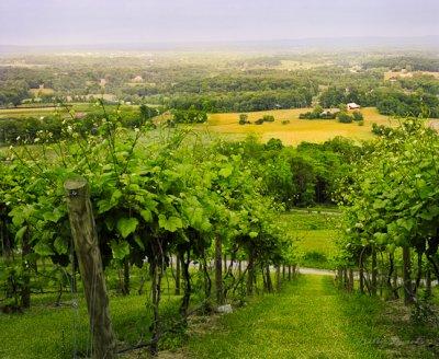 Walk Through the Vines, Bluemont Vineyard |
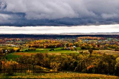 Autumn Storm, Loudoun Valley |
| comment | share |