


|
|
|
|
|
|
| Ruth Moorhead | profile | all galleries >> Idaho -- Southern and Eastern >> Bannock County >> Boundary Trail | tree view | thumbnails | slideshow |
 |
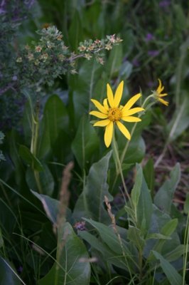
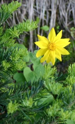 Arnica sp. |
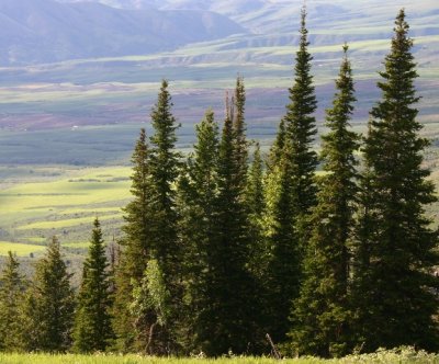 View from the Lift (Subalpine Firs) |
 Chokecherry |
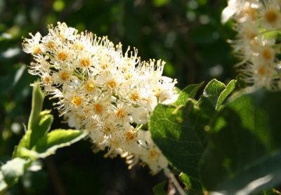
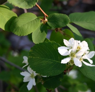 Western Serviceberry |
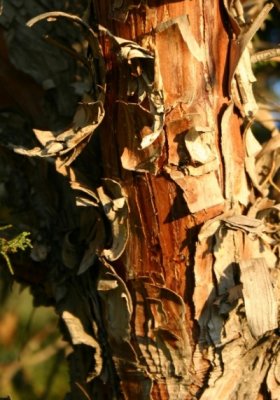
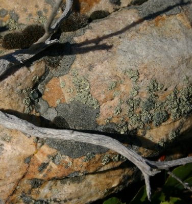 Twig on a Rock |
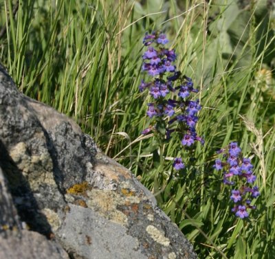 Penstemon sp. |
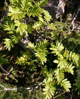 Western Mountain-ash |
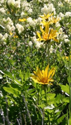 Big-leaf Balsamroot |
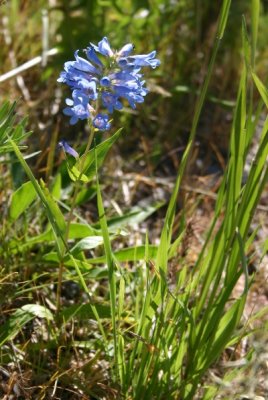 Penstemon, probably cyaneus |
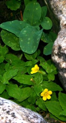
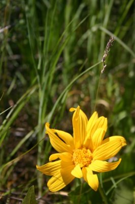 Mule's-ear, Wyethia sp. |
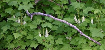
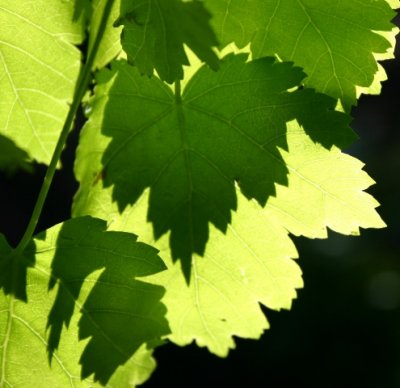 Rocky Mountain Maple |
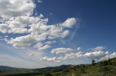 Summer Sky along the Boundary |
 Hudsonian Currant |
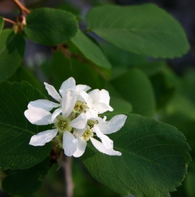 Western Serviceberry |
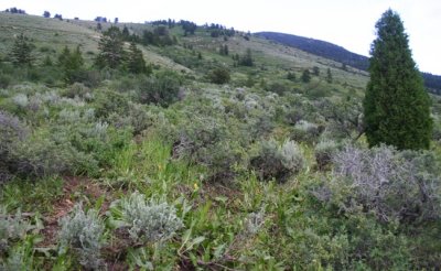
 Juniper in Afternoon Sun |
 |
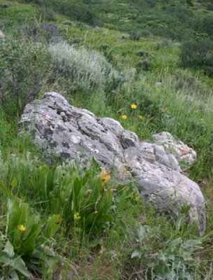 Rock on a Slope |
 Signposts by the Creek |
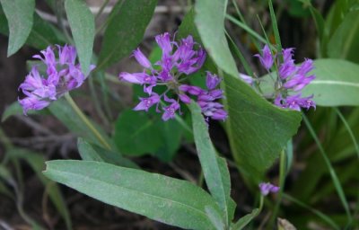 Hooker's or Taper-tip Onion |
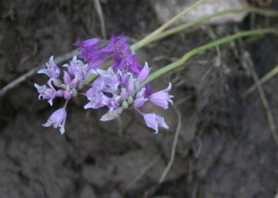 Allium acuminatum |
 |
| comment |