


|
|
|
|
|
|
| Gordon Lucas | profile | all galleries >> Galleries >> Landscapes | tree view | thumbnails | slideshow |
| previous page | pages 1 2 3 4 5 6 7 8 9 10 11 12 13 14 15 16 17 18 19 20 21 ALL | next page |
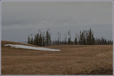
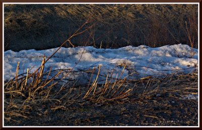
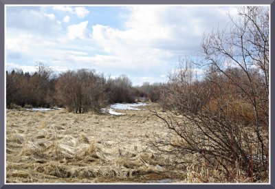
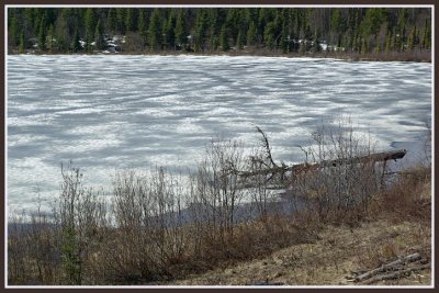
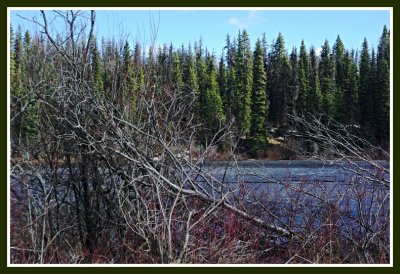
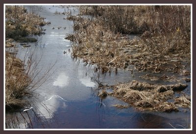
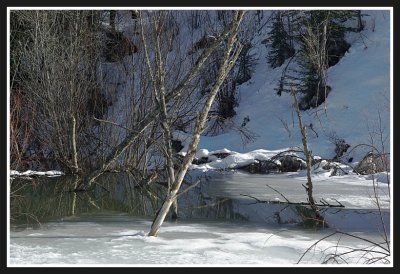
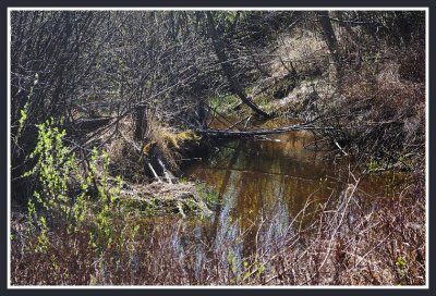
 Spring Thaw |
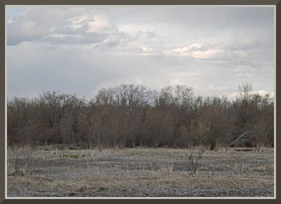
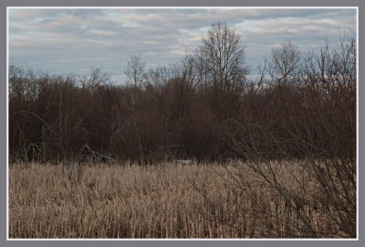
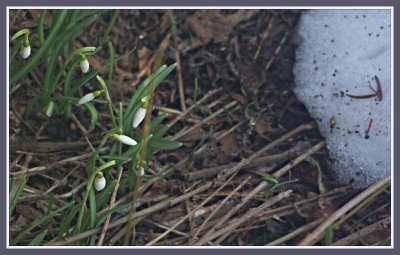
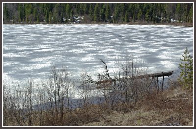
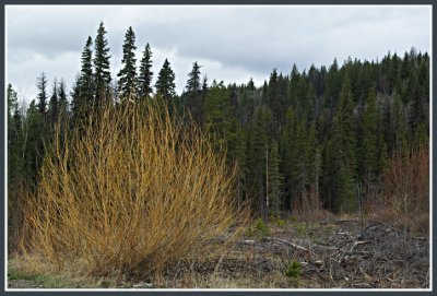
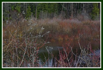
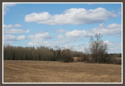
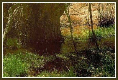
 Harbingers of Spring |
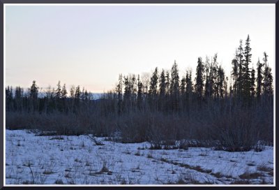
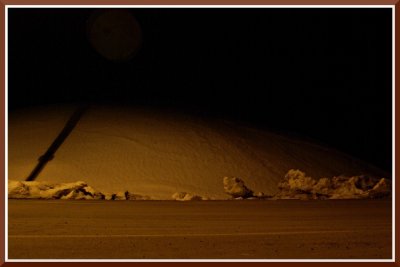
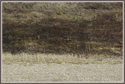
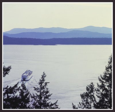
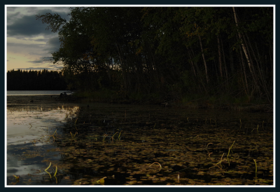
 Dusk at Cluculz Station |
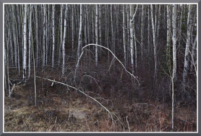
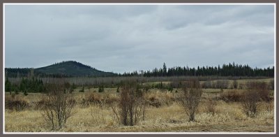
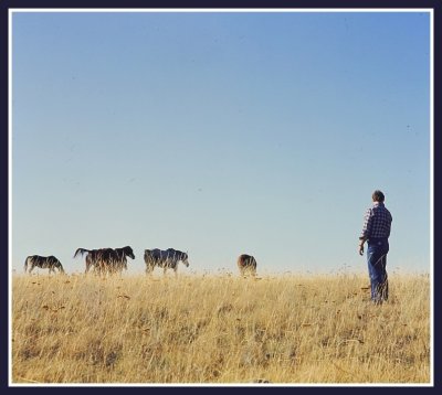
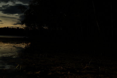
 Birch Saplings, Spring |
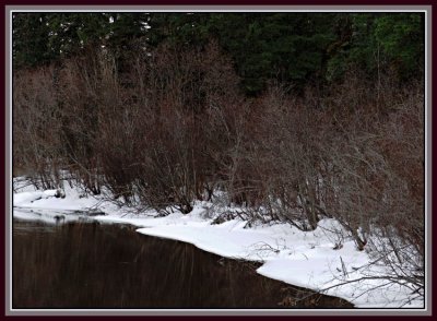
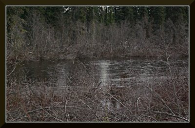
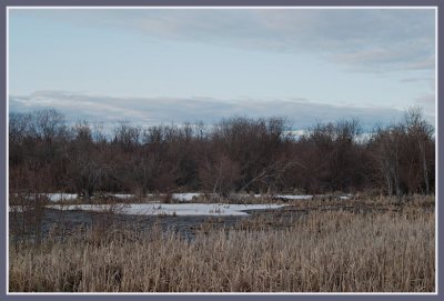
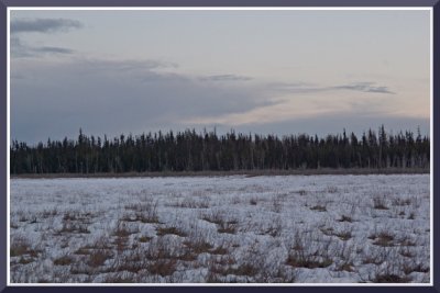
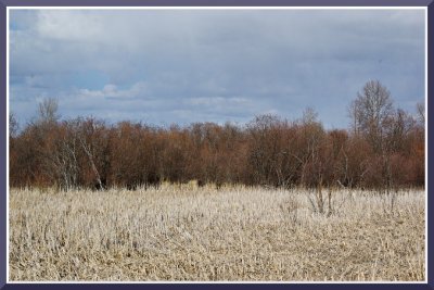
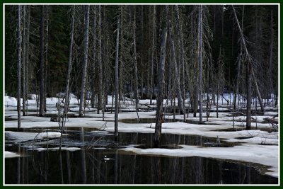
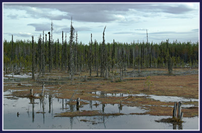
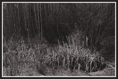
 Northern Willow Bog, Early Spring |
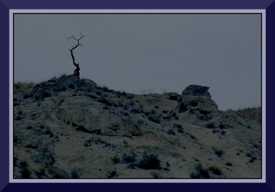
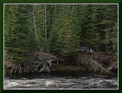
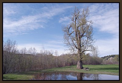 The Old Cottonwood |
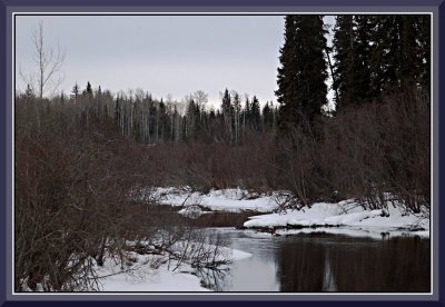
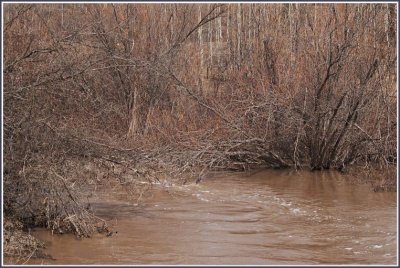
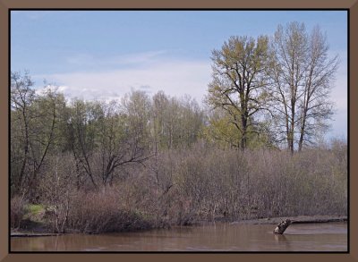 The Mud River in Spring |
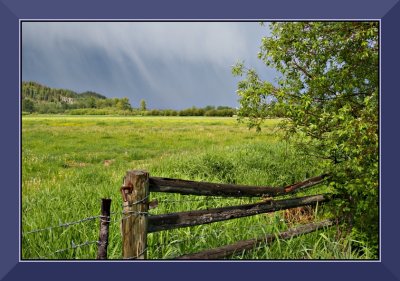 Spring Storm at Giscome |
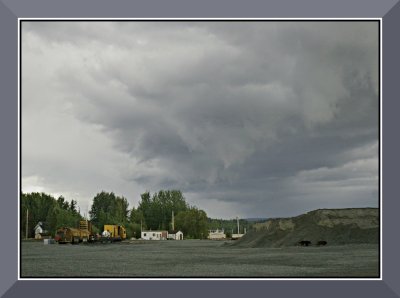 Storm Clouds at Giscome |
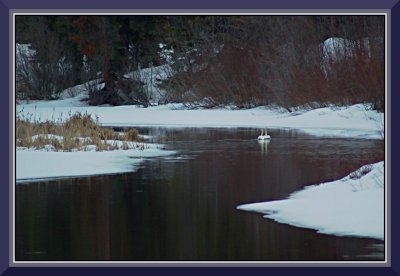
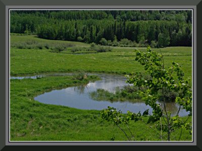
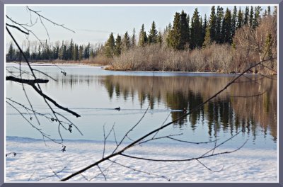
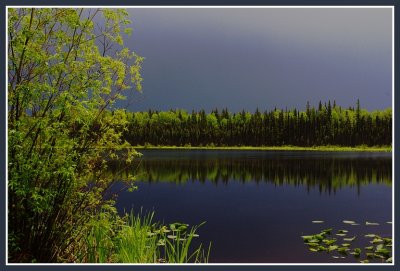
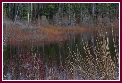
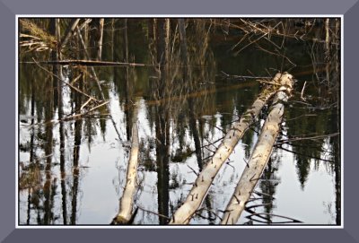 Spring Reflections |
 Giscome Trestles |
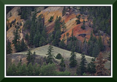
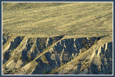
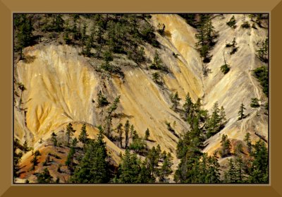 Mineral Hill, Cache Creek |
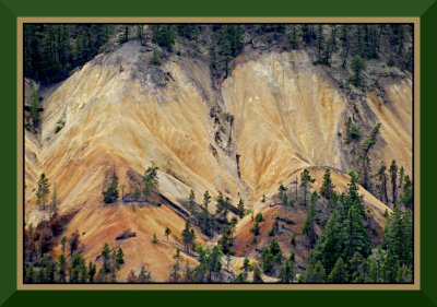
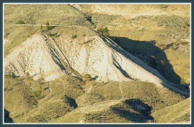
 Mineral Hill #2 |
 Mineral Hill #3 |
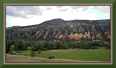 Mineral Hills Overview |
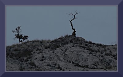 Twilight on Rattlesnake Hill |
 Twighlight on Rattlesnake Hill #2 |
 Prawn Clouds in Cache Creek |
 Gord's Weed World |
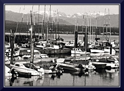 Comox Marina, Glacier in Background |
 Old Wooden Window |
 Thistle Fluff |
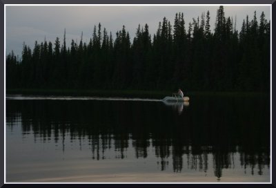
 Sundance on Water |
 Salmon Valley Field |
 The Parsnip River, Anzac Crossing |
 The Table River |
 O Superman, Wherefor Art Thou? |
 Blackbird Swamp in Vanderhoof |
 The Table River |
 Anzac Crossing |
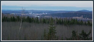
 Prince George Hillside |
 Nechako Breaks, Prince George |
 The Nechako Cutbanks |
 Tory Lake |
 The Central Plateau in September |
 Aspen Fantasy |
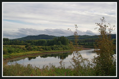
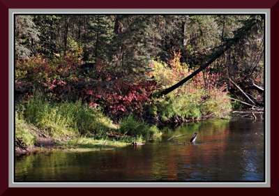 The Chilako River in Fall |
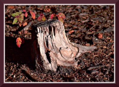 Old Stump |
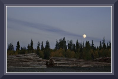 Nightfall at Clear Lake Mills |
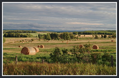
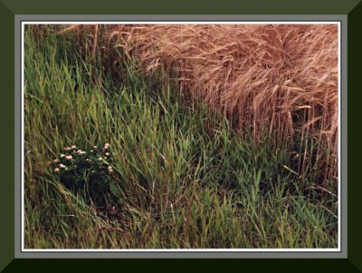 Oatfield in Vanderhoof |
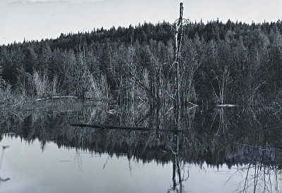
 Dead Forest |
 Egli Farm, Vanderhoof |
 Mooseswamp November |
 Mooseswamp November II |
 Blackbird Swamp, Vanderhoof |
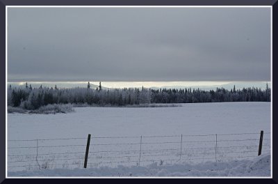
 Vanderhoof Countryside in Winter |
 A Frozen Nechako River |
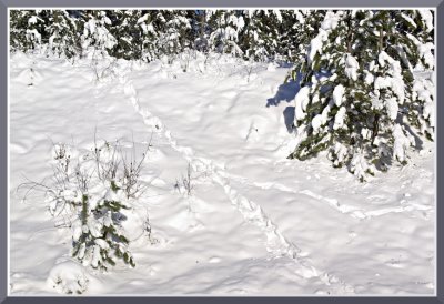
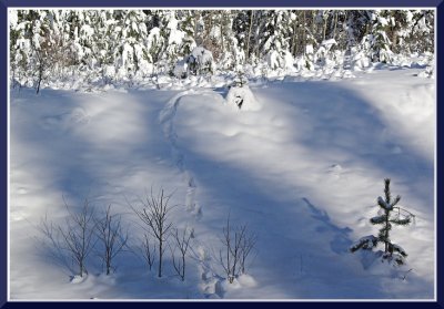
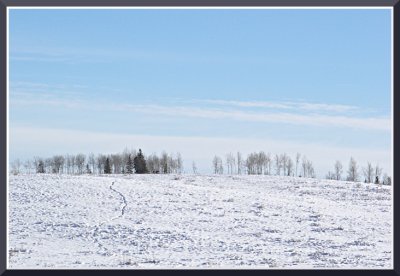
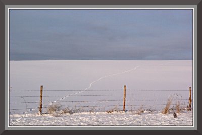 Tracks in the Snow |
 Nechako River Aspens |
 Vanderhoof Countryside in Winter III |
 Vanderhoof Countryside in Winter II |
 At the North Nechako Turnoff |
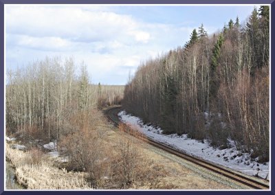
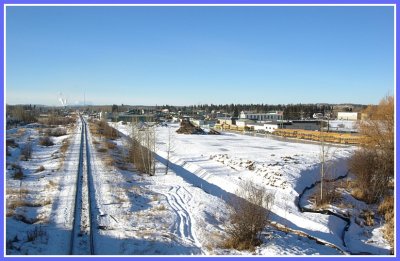
 Along the Tracks |
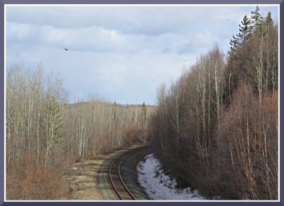
 Tracks in Perspective |
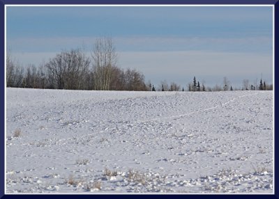
 Snow Covered Field, Vanderhoof |
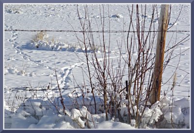
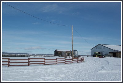
 Windbreak, Vanderhoof |
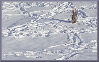
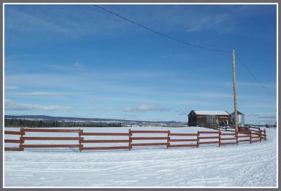
 Windblown Field, Vanderhoof |
 Egli Farm, Back 40 |
 Along the Drygulch |
 Freightcar at 1st Ave. Terminal, Prince George |
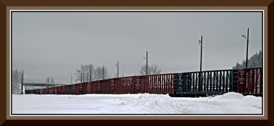 Train at the 1st Avenue Junction |
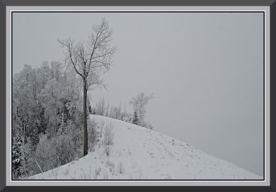 In the Hart Highlands |
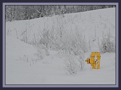 What, no doggie? |
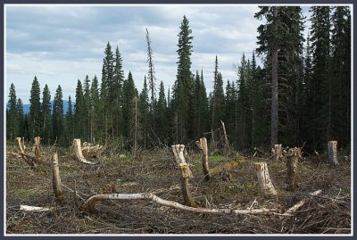
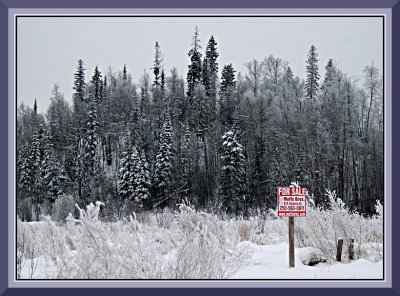 Wanna Buy some Boreal Forest? |
 Cluculz Creek |
 Trumpeter Swans on Cluculz Creek |
 Cluculz Creek #2 |
 The Crooked River at 200 Bridge |
 Crooked River, 100 Road Bridge |
 Oxbow Creek #1, Vanderhoof |
 Oxbow Creek #2 |
 Grizzly Lake |
 Grizzly Lake #2 |
 Grizzly Lake 3 |
 Vanderhoof Storm |
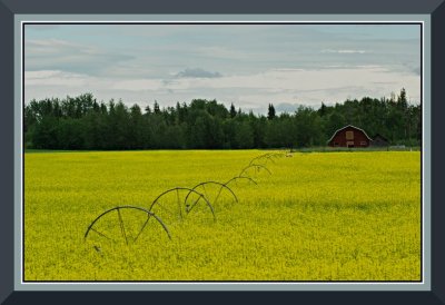
 Canola Fields. Vanderhoof |
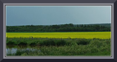
 Canola Fields II. Vanderhoof |
 Vanderhoof Canola Field |
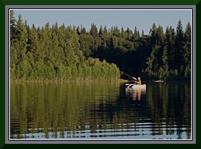 John at Eena Lake |
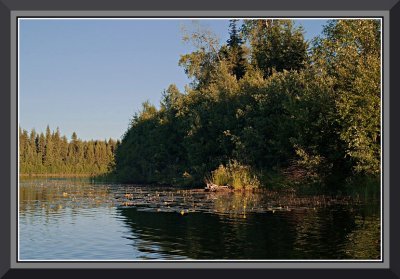 Across the Lake, Far Bay |
 Cast INTO the Pads . . . |
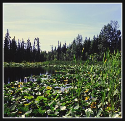
 More Lily Pads at Eena |
 Mermaid Rock, Eena Lake |
 Another Hot Spot |
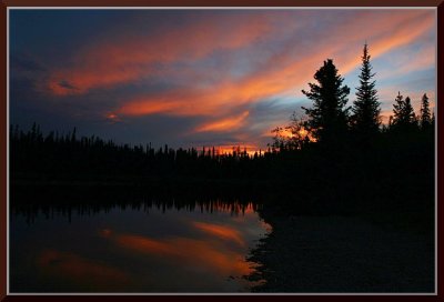
 Eena Sunset |
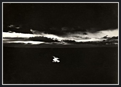
 Dusk |
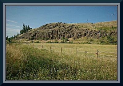
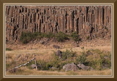
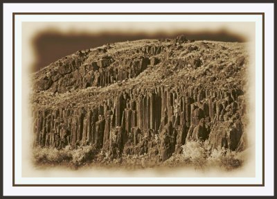
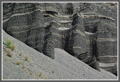
 Cliffs at Cache Creek |
 Hush Lake 1 |
 Hush Lake 2 |
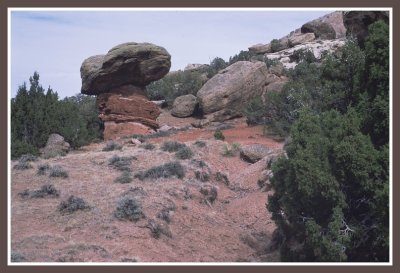
 Desert Sage, Cache Creek |
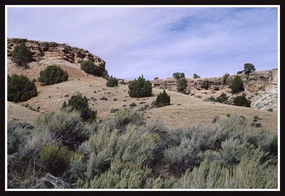
 Cache Creek Hills |
 Towards Ashcroft |
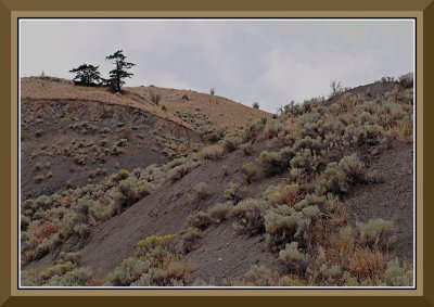 Cache Creek Hills |
 IMGPCC0105.JPG |
 Fluted Rocks, Near Kersley, BC |
 Fluted Rocks, Near Kersley, Infra-red image |
 On the Crooked River |
 100 Road, Crooked River |
 Along the Crooked, Whitefish Run |
 Near Bear Lake, Highway 97 North |
 Dark Forest |
 Brilliant Aspen against Dark Forest |
 Frost Lake |
 Frost Lake Shoreline |
 Hush Lake |
 A Hush Lake Portrait |
 IMGP2058.jpg |
 IMGP2061.jpg |
 IMGP2062.jpg |
 IMGP2074.jpg |
 IMGP2076.jpg |
 Buck #54 |
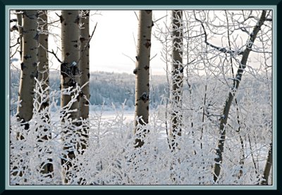
 Hoarfrost and Birch |
 Hoarfrost on Cluculz Creek |
 Jack Frost's Paintbrush |
 The Snowplough's Paintbrush |
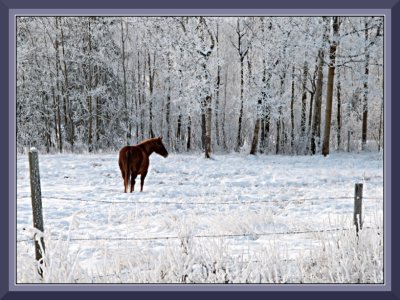
 What're You Guys Doing Here? |
 Spring's a 'cumin in |
 Blackbird Swamp early Spring, Vanderhoof |
 More Blackbird |
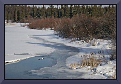
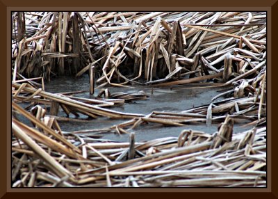
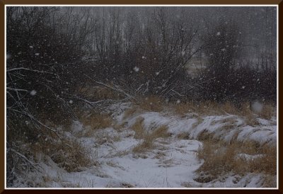
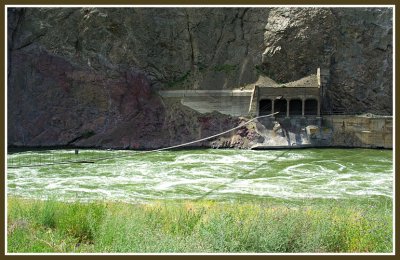
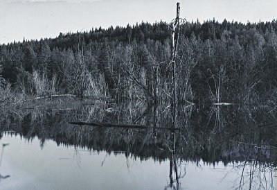
 brownwater.jpg |
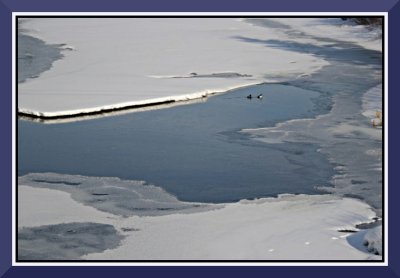
 duplicate.jpg |
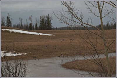 birds.jpg |
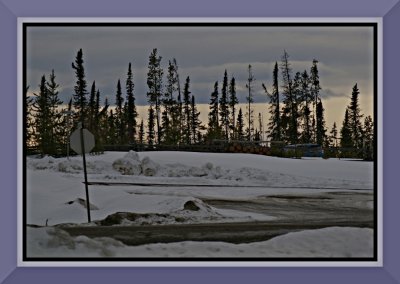
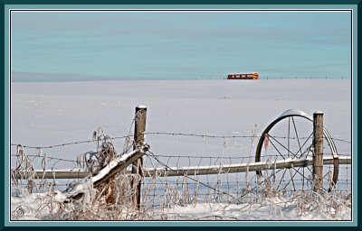
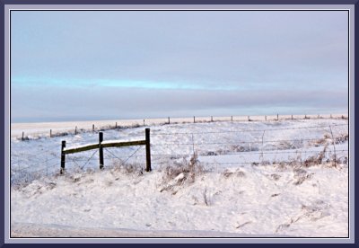
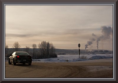
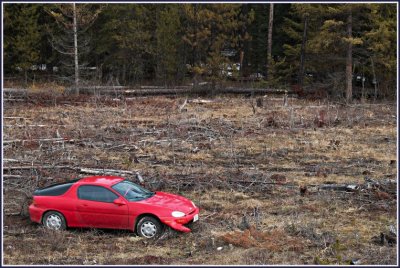 car.jpg |
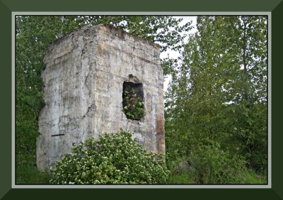
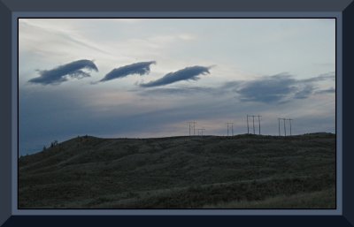
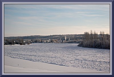
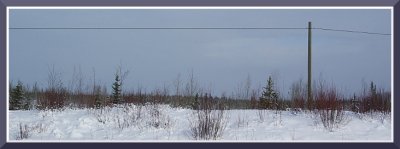
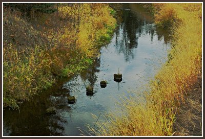
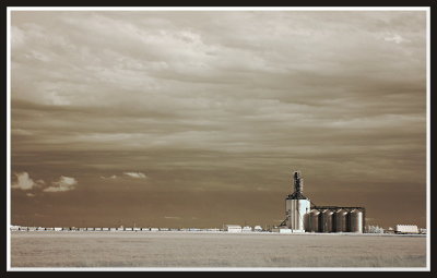
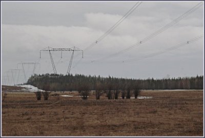 towers.jpg |
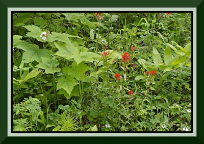
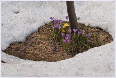 croci.jpg |
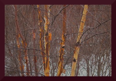
 Forest Patterns |
 Catkins on the Crooked |
 My "New" Toy |
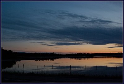
 Thompson River Valley at dusk |
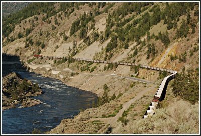 Thompson River Valley |
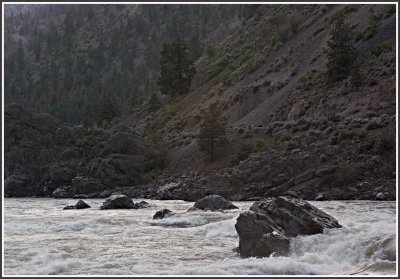 Thompson River Rapids |
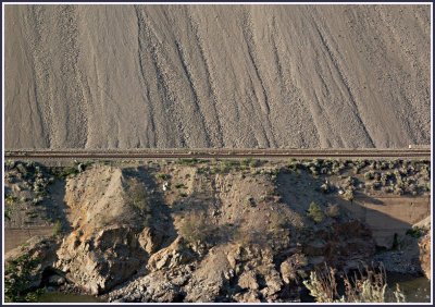 Tracks on the Thompson |
 VTIMGP0133.jpg |
 frostlakestump2a.JPG |
 frostlakestump5a.jpg |
 Durrance1.jpg |
 Durrance2.jpg |
 Durrance3.jpg |
 Durrance4.jpg |
 swamp.jpg |
 Angly Lake |
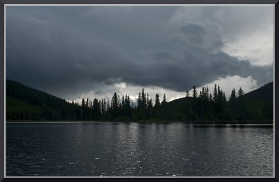
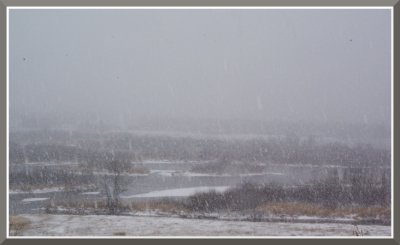
 The Calm before the Storm |
 IMGP0085.JPG |
 IMGP0094.JPG |
 IMGP3272.jpg |
 rockprint2opt.jpeg |
 IMGP3755.jpg |
 IMGP3739.jpg |
 IMGP3742.jpg |
 IMGP3747.jpg |
 IMGP3752.jpg |
 IMGP3754.jpg |
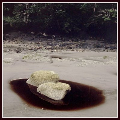
 Brown |
 oldhouse.jpg |
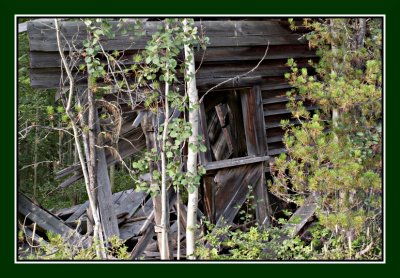
 shack.JPG |
 sinkutmt.JPG |
 Sentinals |
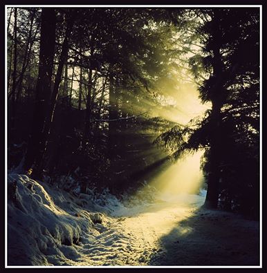
 A Shaft of Light |
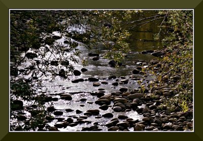
 river.JPG |
 bank.JPG |
 crooked.jpg |
 snags.JPG |
 canoedrift.JPG |
 Ilead.JPG |
 halfway.jpg |
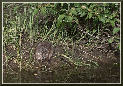 muskrat.jpg |
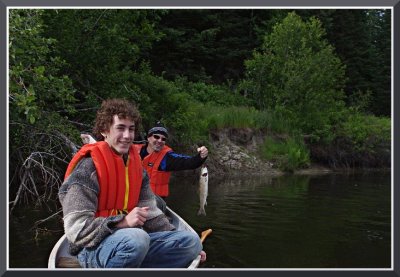 fish.JPG |
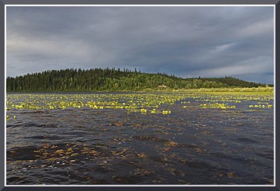 lakeentry.JPG |
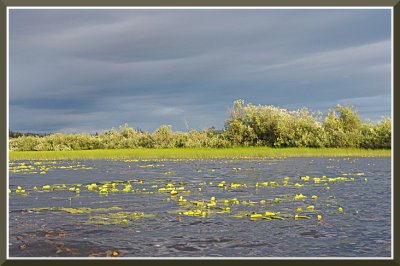 lake.JPG |
 Glacier Area |
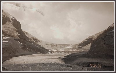 Glacier |
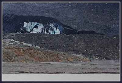 A giant, Alien Slug |
 Glacier |
 A Different Angle |
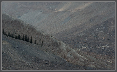
 Mountain as Desert |
 The Sentinal |
 Patterns |
 Patterns and Angles |
 Mountain Top |
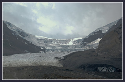
 The Glacier |
 People as Ants |
 The Athabasca River |
 More Mountain as Desert |
 Further down the road . . . |
 The Lone Tree Theme |
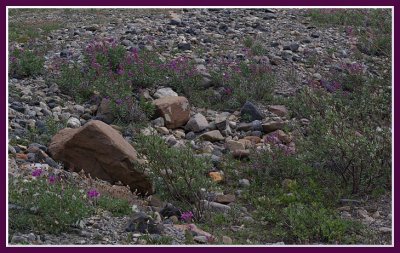 Wildflowers |
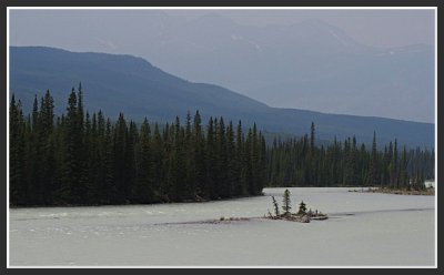 Islet |
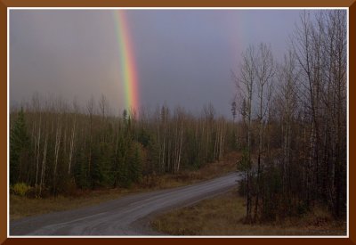
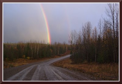
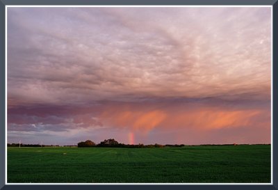
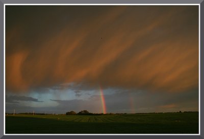
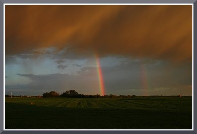
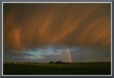
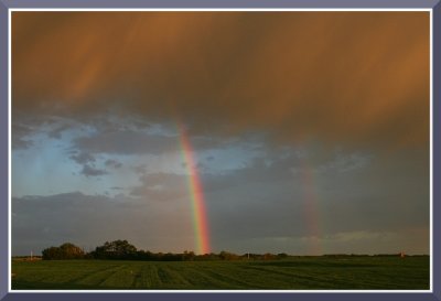
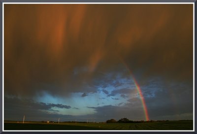
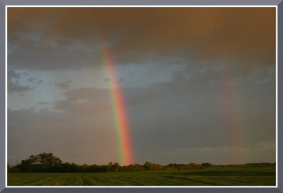
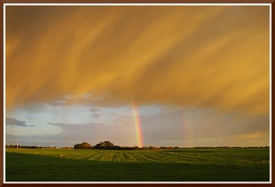
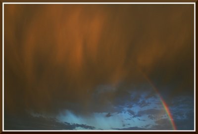
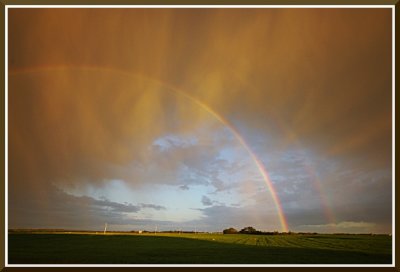
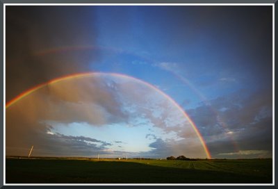
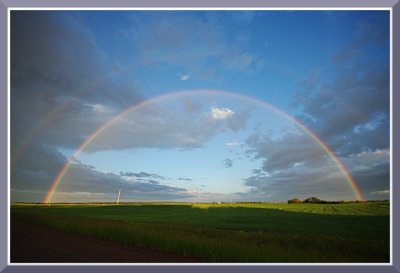
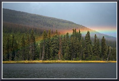 An Incredible Rainbow |
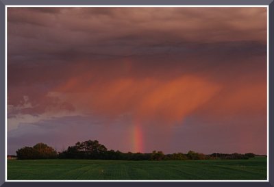
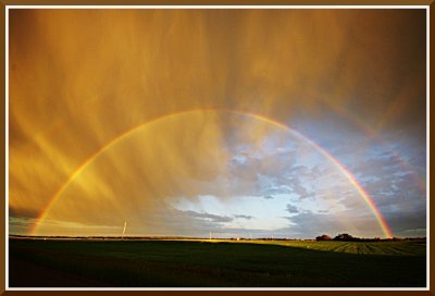
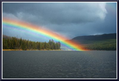 The Rainbow and it's Stunning Display |
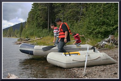 Bill, Nic and Matti |
 The Fishing was Fabulous |
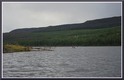
 The Lake, the Sky |
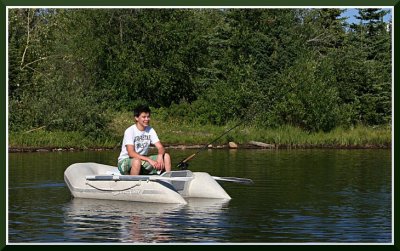 Nick on Grizzly Lake |
 Comin' in! |
 The far shore of Grizzly Lake |
 Sunset on Grizzly |
 IMGP0035a+OPT.JPG |
 IMGP0032a.JPG |
 IMGP0061OPT.jpg |
 IMGP0067OPT.JPG |
 IMGP0069OPT.JPG |
 IMGP0074POPT.JPG |
 IMGP0079OPT.JPG |
 IMGP0074POPT.JPG |
 IMGP0077OPT+.JPG |
 traks.JPG |
 trak2.JPG |
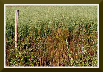
 farm2.JPG |
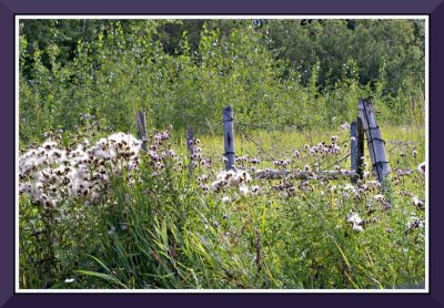
 post.JPG |
 cluster.JPG |
 farm.JPG |
 farm2.JPG |
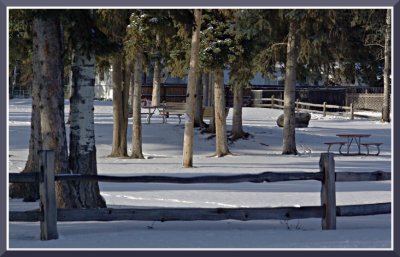 park.JPG |
 IMGP0060.JPG |
 IMGP0063OPT.JPG |
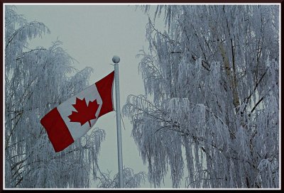 flag.JPG |
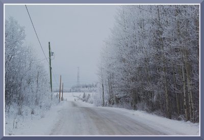 IMGP0071OPTscene.JPG |
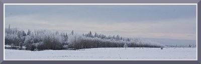 pano.JPG |
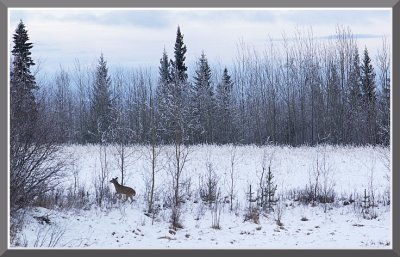 deerOPT.JPG |
 From the Archives - Torpy River |
 IMGP0041OPT.JPG |
 IMGP0047OPT.JPG |
 IMGP0048OPT.JPG |
 IMGP0050OPT.JPG |
 snowdrops.JPG |
 Vanderhoof swamp.JPG |
 Blackbird Swamp.JPG |
 Tracks.JPG |
 Tracks with Crows.JPG |
 Aspens.JPG |
 Ice Out.JPG |
 Arctic Wasteland |
 On the RoadOPT.JPG |
 IMGP0056opt.JPG |
 1.JPG |
 2b.JPG |
 3b.JPG |
 6.JPG |
 10b.JPG |
 11.JPG |
 11b.JPG |
 12.JPG |
 13.JPG |
 14.JPG |
 14b.JPG |
 15.JPG |
 16.JPG |
 18.JPG |
 19.JPG |
 20a.JPG |
 21.JPG |
 34.JPG |
 36.JPG |
 37.JPG |
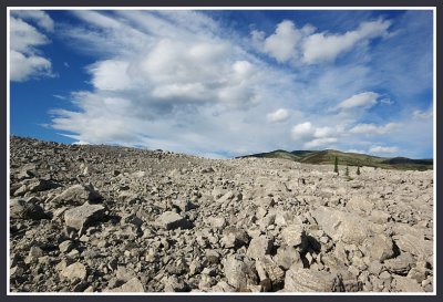 Slide Area at Frank, Alberta |
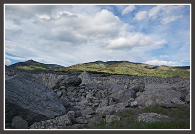 Slide Area at Frank, Alberta |
 Vanderhoof, BC |
 Vanderhoof, BC |
 Vanderhoof, BC |
 Vanderhoof, BC |
 Griffith Farm, Vanderhoof |
 Griffith Farm, Vanderhoof |
 Meltout Time on the 100 Road |
 Tamerack Lake |
 Tamerack Lake |
 Textures on the Roadside |
 Near Sinkut Mountain, Vanderhoof, BC |
 Swamp, Amanita Lake area, North Fraser Road |
 Above the Bowl Area, Prince George BC, in Autumn |
 Slash on North Fraser Road, north of Prince George |
 Slash on North Fraser Road, north of Prince George |
 Slash on North Fraser Road, north of Prince George |
 Near Cluculz Lake, BC |
 "Blackbird Swamp", Vanderhoof |
 Tatelculz Lake, South Kluskus |
 Burned out Area, North Kluskus |
 Unnamed Lake on the Kluskus |
 Twisted Aspens near Vanderhoof |
 These Things Grow Anywhere!!! |
 The Kluskus "Highway", about 60 miles south of Vanderhoof |
 Above the Bowl Area, Prince George BC |
 Beaver Dam, Telechick Creek |
 Fraser River Slough |
 Near Lac la Hache, BC, 4:18 AM |
 Near Lac la Hache, BC, 4:30 AM |
 Near Spences Bridge, BC |
 IMGP0032umOPT.JPG |
 IMGP0040umOPT.JPG |
 IMGP0042umOPT.JPG |
 IMGP0054umOPT.JPG |
 IMGP0055umOPT.JPG |
 IMGP0062umOPT.JPG |
 IMGP0076umOPT.JPG |
 IMGP0086bibumOPT.jpg |
 June 26.jpg |
 IMGP3360bib_.jpg-0001optum.jpg |
 IMGP3359bib_.jpg-0001optum.jpg |
 IMGP3361optum.JPG |
 IMGP3363optum.JPG |
 IMGP3365optum.JPG |
 IMGP3366optum.JPG |
 IMGP0001.jpg-0001umOPT.jpg |
 IMGP0004umOPT.JPG |
 IMGP0007umOPT.JPG |
 IMGP0008umOPT.JPG |
 IMGP0011umOPT.JPG |
 IMGP0018umOPT.JPG |
 IMGP0018umOPT.JPG |
 IMGP0019umOPT.JPG |
 IMGP0023umOPT.JPG |
 IMGP0002OPTum.JPG |
 IMGP0005OPTum.JPG |
 IMGP3596umOPTum.JPG |
 IMGP3603umOPTum.JPG |
 IMGP3604umOPTum.JPG |
 IMGP3608umOPTum.JPG |
 IMGP3646umOPTum.JPG |
 Hush Lake after a Thunderstorm |
 Gravel Fantasy |
 Near Spences Bridge, BC #1 |
 Near Spences Bridge, BC #2 |
 Near Spences Bridge, BC #3 |
 IMG_2735umOPTum.JPG |
 IMG_2753umOPTum.JPG |
 IMG_2758umOPTum.JPG |
 IMG_2714umOPTum.JPG |
 IMG_2785umOPTum.JPG |
 Vanderhoof Swamp, freezing up |
 Telechick Creek, Trip 3 #1 |
 Telechick Creek, Trip 1 #2 |
 Telechick Creek, Trip 1 #3 |
 Telechick Creek, Trip 1 #4 |
 Telechick Creek, Trip 1 #5 |
 Telechick Creek, Trip 3 #1 |
 Telechick Creek, Trip 3 #2 |
 Telechick Creek, Trip 3 #3 |
 IMGP0002umOPT.JPG |
 IMGP0007umOPT.JPG |
 IMGP0003umOPTum.JPG |
 IMGP0007umOPTum.JPG |
 IMGP0019umOPTum.JPG |
 IMGP0021umOPTum.JPG |
 IMGP0023umOPTum.JPG |
 IMGP0028umOPT.JPG |
 IMGP0017umOPTum.JPG |
 IMGP0018umOPTum.JPG |
 IMGP0061umOPT.JPG |
 IMGP0074um.JPG |
 IMG_3120umOPT.JPG |
 IMG_3123umOPT.JPG |
 IMG_3126umOPT.JPG |
 IMGP0003umOPTum.JPG |
 IMG_0318umOPT.JPG |
 IMG_0328umOPT.JPG |
 charlottes.jpg |
 Sooke.jpg |
 IMG_0315OPTum.JPG |
 IMG_0317umOPTum.JPG |
 IMG_0333OPTum.JPG |
 IMG_0326umOPT.JPG |
 IMG_0863OPTumum.JPG |
 IMG_0867umOPTum.JPG |
 IMG_0872umOPTum.JPG |
 13119105_10153493968381603_9053958592556134072_n.jpg |
 13062101_10153495373206603_592471522445949582_n.jpg |
 IMGP0657umOPT.png |
 IMGP0657OPT.JPG |
 DSC_0910umOPTum.jpg |
 IMGP1277umOPTum.JPG |
 IMGP1278umOPTum.jpg |
 IMG_0986OPT.jpg |
 IMG_0986OPT.jpg |
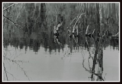 Swamp Reflections |
 summer end.JPG |
 IMGP1653umOPTum.JPG |
 IMGP2043um50um10final.JPG |
| previous page | pages 1 2 3 4 5 6 7 8 9 10 11 12 13 14 15 16 17 18 19 20 21 ALL | next page |
| comment | share |
| Joe Bonello | 01-Jun-2015 06:32 | |
| joseantonio | 07-Jun-2013 06:19 | |
| tgl | 15-Aug-2010 20:25 | |
| sherwood frazier | 05-Jun-2010 01:50 | |
| G.Pietro Munaretto | 04-Sep-2008 11:20 | |
| R.A.V. | 21-Jun-2008 13:31 | |
| Milan Vogrin | 07-Oct-2007 11:25 | |
| Hans Chr. Sřrensen | 10-Sep-2007 10:46 | |
| Milan Vogrin | 29-Jun-2007 07:35 | |
| Jacky Lee | 07-Apr-2007 11:59 | |
| Donald Verger | 07-Apr-2007 11:51 | |