photo sharing and upload picture albums photo forums search pictures popular photos photography help login
Mister Max | profile | all galleries >> The Cynwyd Train Station and the Cynwyd Trail are on Track >> The Cynwyd Heritage Trail >> Vine Creek culverts - under the Cynwyd Trail and to the Schuylkill tree view | thumbnails | slideshow

Vine Creek culverts - under the Cynwyd Trail and to the Schuylkill

Explored by Alison Hirsch and Jack Ohly 2009-10-20. They walked from the location of Clegg's Mill in the middle up under the Cynwyd Heritage trail to the pillbox where Vine Creek goes underground, and then down downstream to its mouth at the Schuylkill River.
Jack sketched the route of the culverts and later drew them more formally. Max has combined them into one map, which starts each part of this site. Photos by Alison, Jack, and above ground by Max.
The upstream culvert is on page 1, while the downstream photos are on the remaining pages.
previous pagepages 1 2 3 4 5 ALL next page
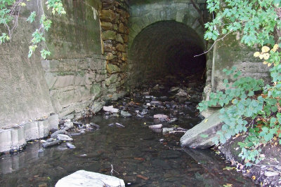
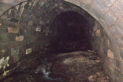
192 Approaching the river, the walls are cut stone_5384.JPG
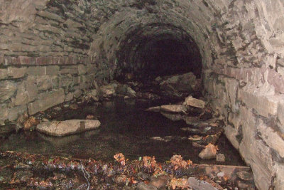
193 Varied stone walls_5387.JPG
194 Approaching the river_5375.JPG
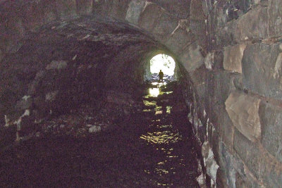
 the river in sight
the river in sight
More changes of material at the mouth of Vine Creek
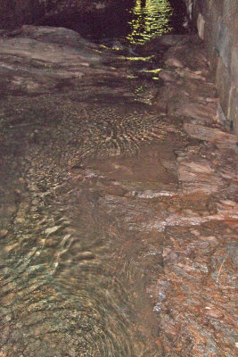
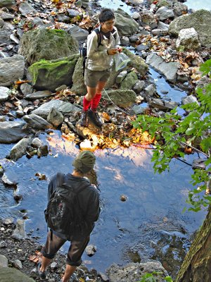
Rocks carried to the river
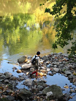
At the Schuylkill
At the Schuylkill
previous pagepages 1 2 3 4 5 ALL next page