photo sharing and upload picture albums photo forums search pictures popular photos photography help login
Mister Max | profile | all galleries >> The Cynwyd Train Station and the Cynwyd Trail are on Track >> The Cynwyd Heritage Trail >> Vine Creek culverts - under the Cynwyd Trail and to the Schuylkill tree view | thumbnails | slideshow

Vine Creek culverts - under the Cynwyd Trail and to the Schuylkill

Explored by Alison Hirsch and Jack Ohly 2009-10-20. They walked from the location of Clegg's Mill in the middle up under the Cynwyd Heritage trail to the pillbox where Vine Creek goes underground, and then down downstream to its mouth at the Schuylkill River.
Jack sketched the route of the culverts and later drew them more formally. Max has combined them into one map, which starts each part of this site. Photos by Alison, Jack, and above ground by Max.
The upstream culvert is on page 1, while the downstream photos are on the remaining pages.
previous pagepages 1 2 3 4 5 ALL next page
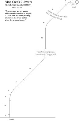
Culverts Map - start of the downstream culvert
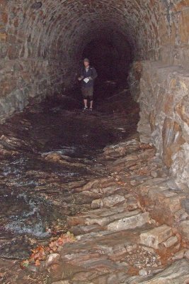
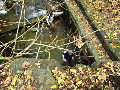
Entering the culvert to walk through it to the river
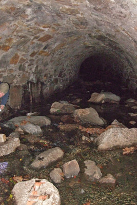
110 Boulders washed into entrance_5313.JPG
112 _5320.JPG
112 _5320.JPG
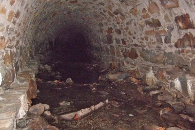
114 Tumbled rough stone floor_5319.JPG
115 Side ledges_5331.JPG
120 High Ledges_5338.JPG
previous pagepages 1 2 3 4 5 ALL next page