


|
|
|
|
|
|
| mic_hong | profile | all galleries >> Galleries >> The 199-Mile Relay Race - 5/1/10 | tree view | thumbnails | slideshow |
| previous page | pages 1 2 3 4 5 ALL | next page |
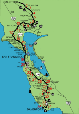 Relay Course Map (click on "Original" to enlarge) |
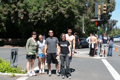
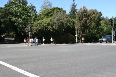 Leg 28 Starts At Grant Rd and Arboretum, Los Altos (IMG_4978.JPG) |
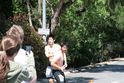 Passing the "Baton" (IMG_4987.JPG) |
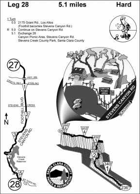 Leg 28 Terrain (click on "Original" to enlarge |
 IMG_4992.JPG |
 The Runners (IMG_4994.JPG) |
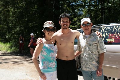
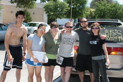 Team 149 (IMG_4997.JPG) |
 IMG_5015.JPG |
 IMG_5024.JPG |
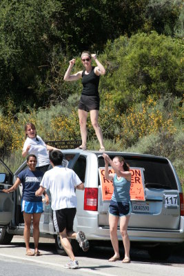 For the Morale Support (IMG_5028.JPG) |
 Climbing the Hill (IMG_5029.JPG) |
 IMG_5033.JPG |
 The Lookout Gal (IMG_5036.JPG) |
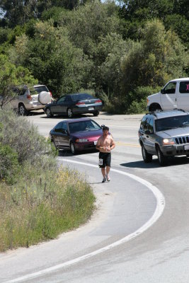
 IMG_5042.JPG |
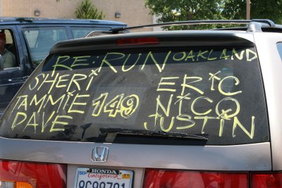
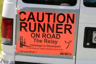
 Mobile Communication Station (IMG_5043.JPG) |
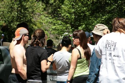 Waiting for Justin At the Start of Leg 29 (IMG_5046.JPG) |
 Approaching the Finish Line of Leg 28 (IMG_5051.JPG) |
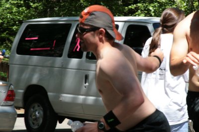 Passing the "Baton" to Leg 29 Runner (IMG_5052.JPG) |
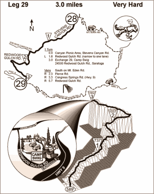 Leg 29... A Three-mile Straineous Course (leg29W.gif) |
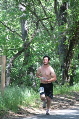
 IMG_5056.JPG |
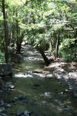
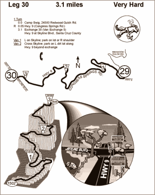 Leg 30 Terrain |
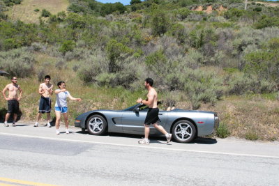
 IMG_5065.JPG |
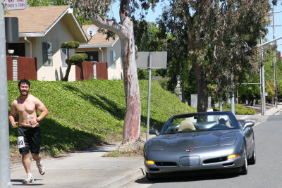
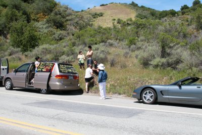
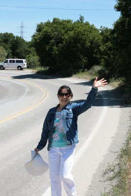
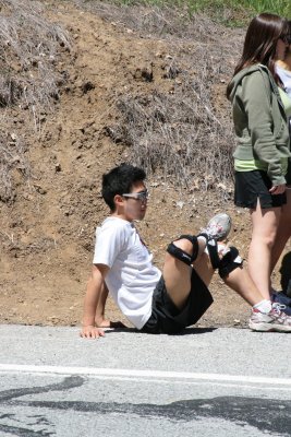
 Hey, Can I Get A Ride? (IMG_5074.JPG) |
 Leg 30 Ends At The Summit of Hwy 9 (IMG_5079.JPG) |
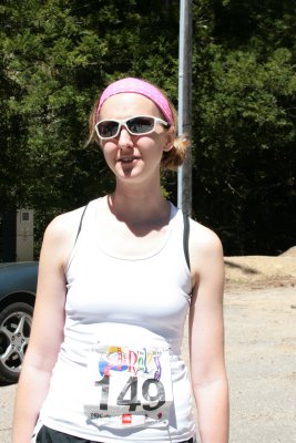
 Leg 31 Runner Awaiting His Turn (IMG_5087.JPG) |
 Leg 30 Runner Approaching the Finish Line (IMG_5090.JPG) |
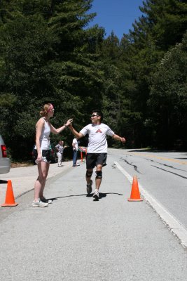
 Passing the Baton to Leg 31 (IMG_5091.JPG) |
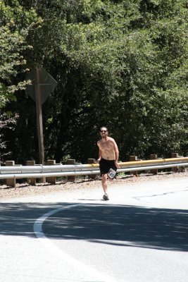
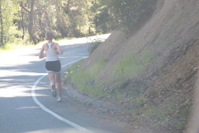
 Leg 31 is a six-mile downhill course (IMG_5102.JPG) |
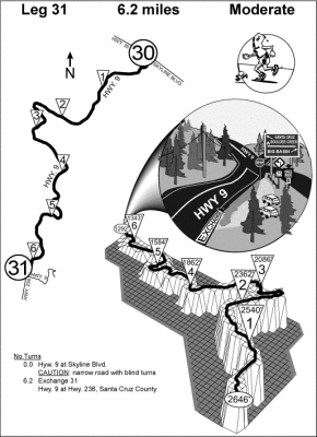 Leg 31 Terrain |
 Leg 32 Runner Getting Ready (IMG_5103.JPG) |
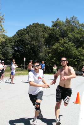
 Passing the Baton to Leg 32 Runner (IMG_5106.JPG) |
 IMG_5111.JPG |
 IMG_5118.JPG |
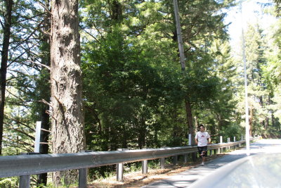
 Leg 32... 4.7 miles with 700 feet loss in elevation (IMG_5120.JPG) |
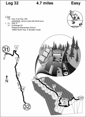 Leg 32 Terrain |
 IMG_5097.JPG |
| previous page | pages 1 2 3 4 5 ALL | next page |
| comment | share |