photo sharing and upload picture albums photo forums search pictures popular photos photography help login
Mike Howells | profile | all galleries >> Galleries >> September 2006 - Australia - Cairns tree view | thumbnails | slideshow

May 2002 - Mauna Kea - Hawaii | May 2002 - Boeing 767-300 Cockpit Tour - Lambert (STL) | December 2002 - Manhattan, New York | In Memory of Laddie | September 2006 - Australia - Introduction | September 2006 - Australia - Sydney | September 2006 - Australia - Melbourne | September 2006 - Australia - Cairns | June 2023 - UK - London | June 2023 - UK - Scotland | June 2023 - France - Paris | In Box

September 2006 - Australia - Cairns

We spent four days in Cairns. Cairns is a regional city and Local Government Area located in far northern Queensland. The city is rapidly expanding, with a population over 146,000 and is reliant on the sugar and tourism industries. Cairns is a popular travel destination for foreign tourists because of its tropical climate and proximity to many attractions. The Great Barrier Reef is only one-and-a-half hours away by boat. Located only 17 degrees below the equator the weather in Cairns was very similar to the weather in Hawaii. It was in the 80's during the day and 60's at night. We never encountered any storms and the weather for the most part was very tranquil. Chelle and I spent our time in Cairns snorkeling the Great Barrier Reef (Michaelmas Cay), visiting the Kurunda rainforest, and visiting with some Australian residents who used to live in our apartment community in St. Louis. Remember you can click on a photo for a larger image.
previous pagepages 1 2 3 4 5 6 7 8 ALL next page
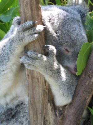
A good view of a Koala's claws used for climbing and gripping. They have 3 fingers and 2 thumbs
Opals are huge in Australia and this was one of many Opal dealers that we saw
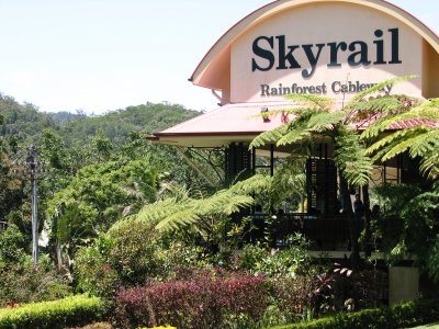
The sign to the Skyrail Rainforest Cableway as we approach the entrance (www.skyrail.com.au)
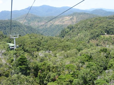
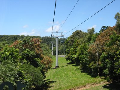
Spanning 7.5km, Skyrail Rainforest Cableway traverses the McAlister Range, through the Barron Gorge National Park
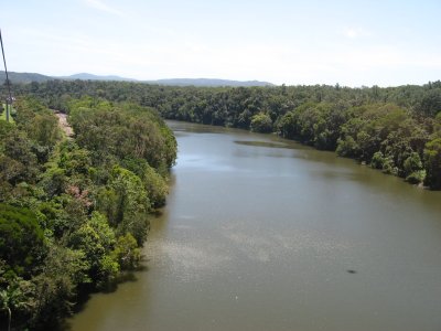
A view of the mighty Barron River as we pass over
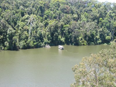
People can also take a boat ride on the Barron River for a more up close and personal tour of the river
It's a long way down (over 100 ft) from where we are to the rainforest below
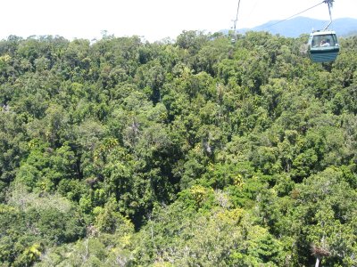
The cable car in front of us is not really that close as I used zoom in this picture
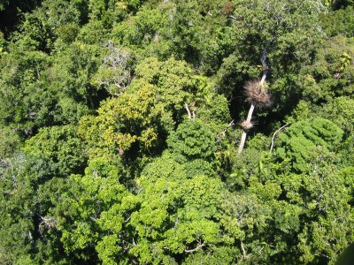
Only 1% of the sunlight reaches the very bottom of the rainforest below
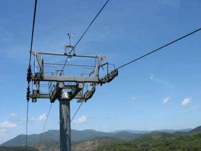
This is the highest point in the trip. Notice the anenometer (wind gauge) at the top of the tower (the wind was strong that day)
We are over the top and now headed into our first stop
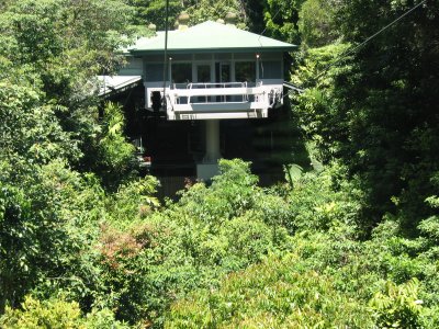
We enter Barron Falls station
previous pagepages 1 2 3 4 5 6 7 8 ALL next page