photo sharing and upload picture albums photo forums search pictures popular photos photography help login
marjory | profile | all galleries >> Some gatherings of the I.S.A.E.D.H.S. >> Acadia National Park - September 2006 tree view | thumbnails | slideshow

Acadia National Park - September 2006

Eleven members of the ISAEDHS were able to travel to Acadia National park in Maine for a week in September, 2006.

First photo is the relief map of the park at the visitor center. Interspersed among the others are photos along the shore at Woodland Park Cottages.
Sept. 26 is the hike up Cadillac Mountain, and the crowd for the delicious mussel dinner.
Sept. 27, we went up Sargent Mountain, with a very short side trip to Cedar Swamp Mountain.
Sept. 28, we did the Great Head loop walk from Sand Beach, then went up Gorham Mtn. from the north, starting on the Beehive trail. On the way down Gorham, we backtracked to see part of the Cadillac Cliffs side trail.
Then we walked back to Sand Beach along the shore path. The clouds were low until we started down Gorham, but never really lifted until the end of the day.
Later in the afternoon, we were near the Stables, so we went up The Triad and then Day Mountain, both short and pretty quick to do.
Sept. 29 - just a morning panorama at the shore before it rained.

Click on a thumbnail for a larger view, and use previous/next on the photo pages to go forward and back through the pictures.

Display size options are small, medium, large and original. Click on original on the panoramas for a larger view. If you have a slow internet service, click on medium on an individual photo and then all the others should display at that size.
Click on a image below to get started.

ALSO, NOTE THE NEW SLIDESHOW OPTION IN THE UPPER RIGHT CORNER. WORKS BETTER IN INTERNET EXPLORER THAN FIREFOX/NETSCAPE (but does work in an IE tab in Firefox).

All photos in all galleries are copyright by the owner and are not to be copied for any commercial purpose.
Members of the ISAEDHS are of course welcome to copy them!

previous pagepages 1 2 3 ALL next page
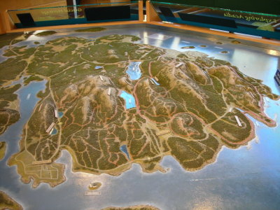
01-092506-N-0630 relief map at the visitor center.JPG
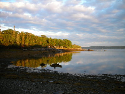
02-092606-N-0648 first morning at the shore - 7 am - glad I got up so early.JPG
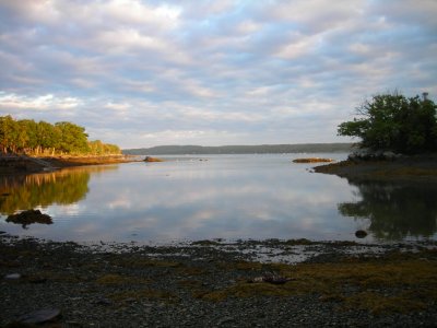
03-092606-N-0649.JPG
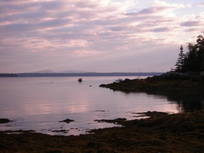
04-092606-N-0667 camera settings off - the color wasnt like this but its pretty anyway.JPG
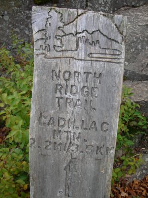
05-092606-N-0701 - Cadillac Mtn trailhead.JPG
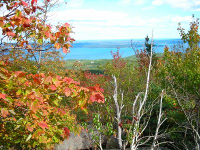
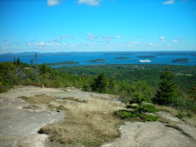
092606-N-0672 towards Bar Harbor and the Porcupine Islands from Cadillac.JPG
092606-N-0680.JPG
092606-N-0680.JPG
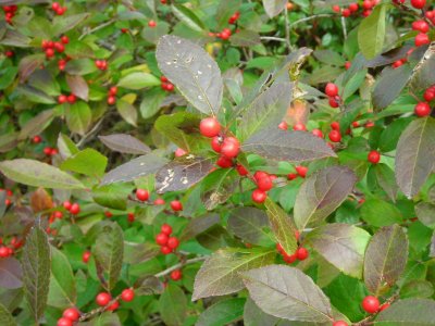
092606-N-0685 winterberry - a holly species.JPG
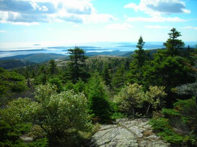
092606-N-0686 south from Cadillac Mtn.JPG
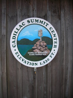
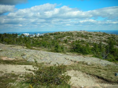
092606-N-0691 busy place on top on a nice day.JPG
092606-N-0697.JPG
092606-N-0697.JPG
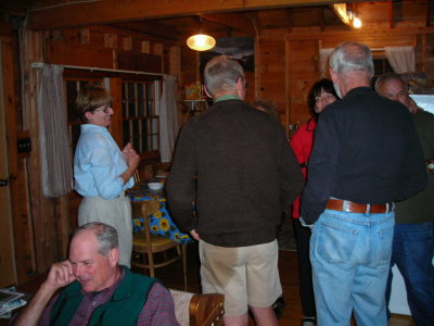
092606-N-0707 dinner time at Aloha cabin.JPG
092606-N-0708.JPG
092606-N-0708.JPG
092606-N-0709.JPG
092606-N-0709.JPG
092606-N-0710 the mussel chefs.JPG
092706-N-0713 Sargent Mtn trailhead.JPG
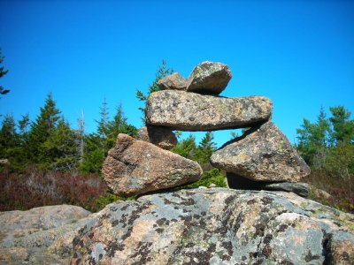
092706-N-0716 one of many cairns marking the trails.JPG
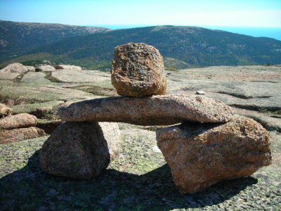
092706-N-0731 the cairns look like an Irish dolmen with an extra stone on top.JPG
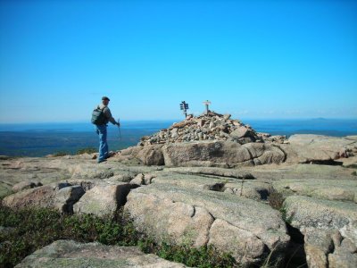
092706-N-0734 summit cairn on Sargent Mtn.JPG
092706-N-0736.JPG
092706-N-0736.JPG
previous pagepages 1 2 3 ALL next page