


|
|
|
|
|
|
| Mani Jahanshahi | profile | all galleries >> Travel (16 Sub Gallery) >> Central Desert (Dasht -e Kavir) | tree view | thumbnails | slideshow | map |

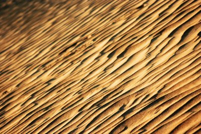
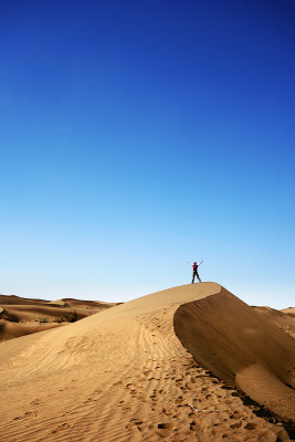
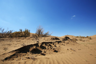
Dasht-e Kavir (Central Desert), also known as
Kavir-e Namak or Great Salt Desert is a large desert lying in the middle of the
Iranian Plateau. It is about 800 kilometers (497 mi) long and 320 kilometers
(198 mi) wide with a total surface area of about 77,600 km� (~30,000 mi�).
The area of this desert stretches from the south hillside of Alborz mountain
range in the north-west to the Dasht-e Lut ("Emptiness Desert") in the
south-east and is partitioned between the Iranian provinces of Khorasan, Semnan,
Tehran, Isfahan and Yazd. It is named after the salt marshes (kavirs) located
there.
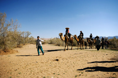
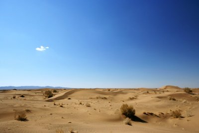
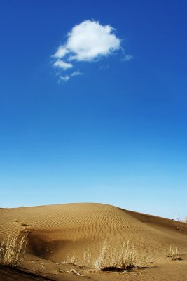
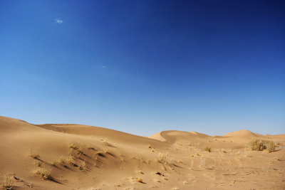
The Dasht-e Kavir's climate is almost rainless and the area is very arid.
Temperatures can reach 50 �C in summer, and the average temperature in January
is 22 �C. Day and night temperatures during a year can differ up to 70 �C. Rain
usually falls in winter.
 |
 |
 |
 |
 |
 |
 |
 |
 |
 |
 |
 |
 |
 |
 |
 |
 |
 |
 |
| comment | share |
| David Anderson | 13-Dec-2013 13:46 | |
| David Anderson | 13-Dec-2013 13:45 | |
| rohab | 27-Feb-2011 15:00 | |
| maXxX | 13-Apr-2010 22:21 | |
| nila | 30-Dec-2008 08:57 | |
| MOHAMMAD | 07-Apr-2007 14:14 | |
| Shirin | 01-Apr-2007 08:35 | |
| Jan Wisniowski | 26-Mar-2007 09:25 | |