


|
|
|
|
|
|
| Allen Dawson | profile | all galleries >> Galleries >> Red River Gorge | tree view | thumbnails | slideshow |
| previous page | pages 1 2 3 4 5 6 7 8 9 10 11 12 13 14 15 16 17 18 ALL | next page |
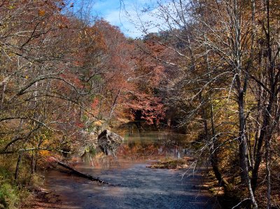
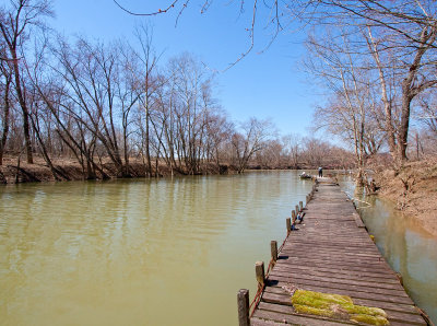
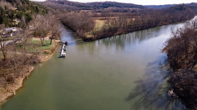 Confluence of Red River and Kentucky River |
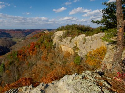
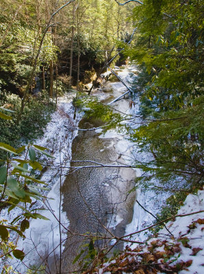
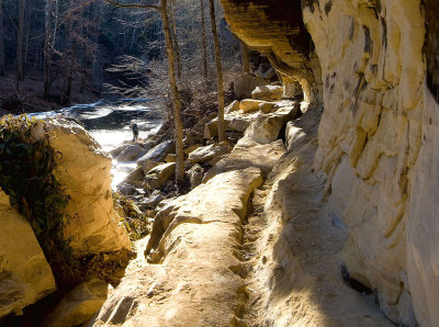
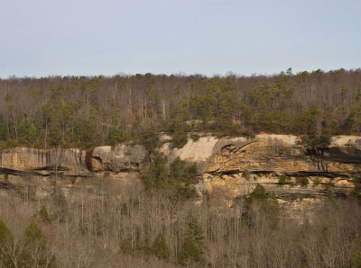
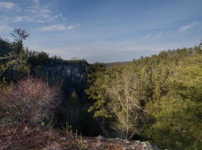
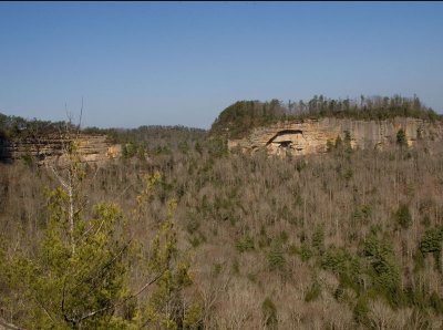
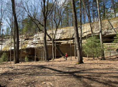
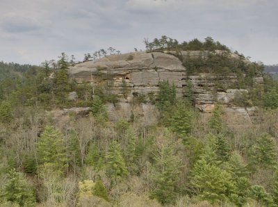
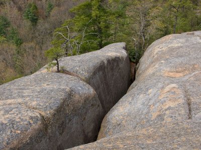
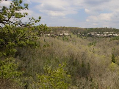
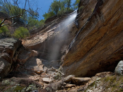
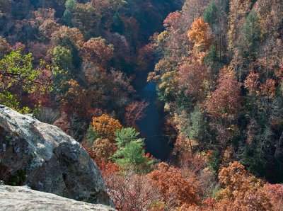
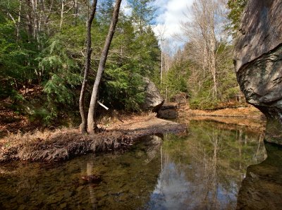
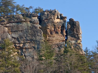
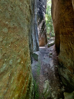
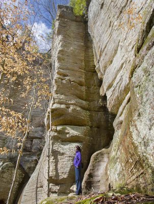
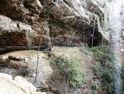
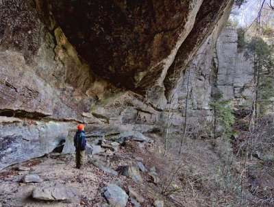
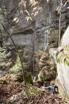
 Devil's Canyon |
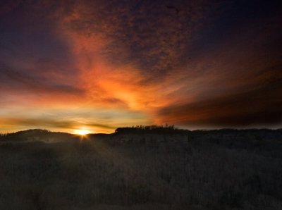
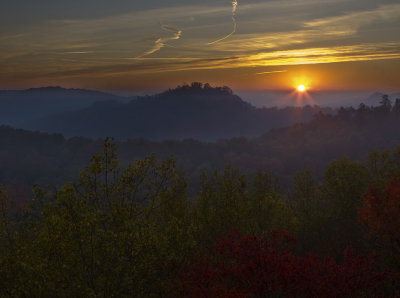
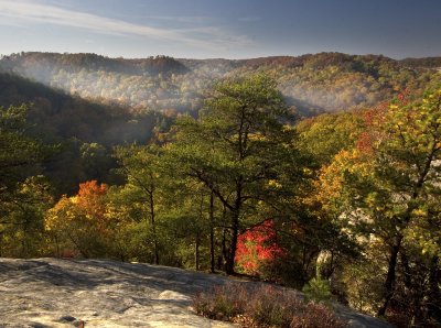
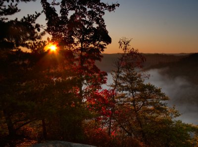
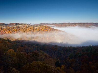
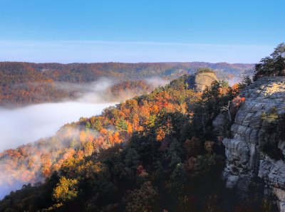
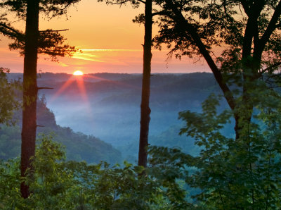 Sunrise at the Snell Overlook |
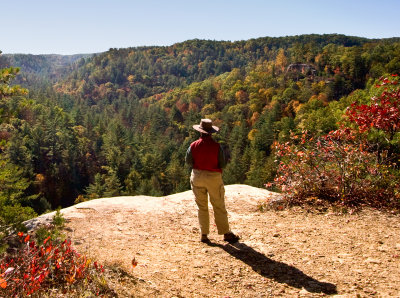
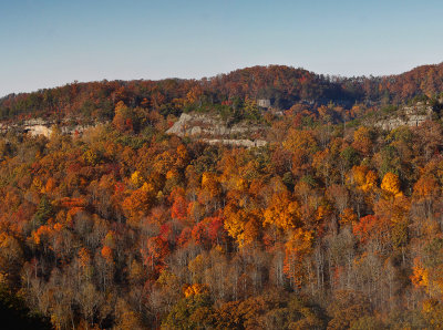
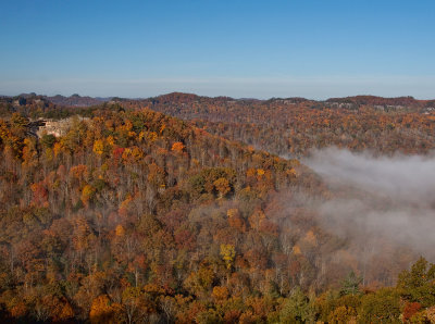
 Taken from Auxier Ridge Trail |
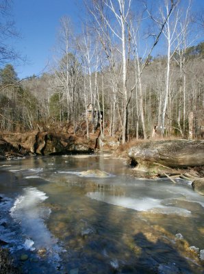
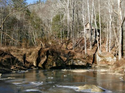
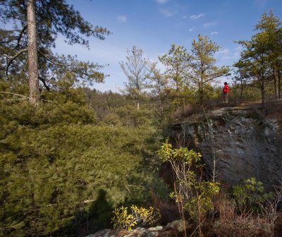
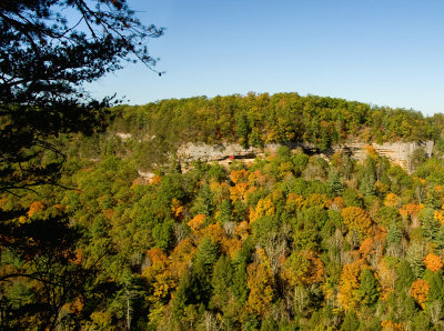 Devil's Canyon |
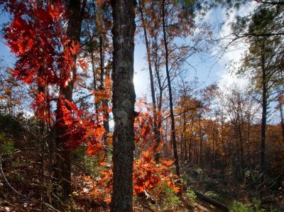
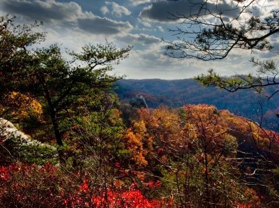
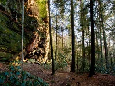
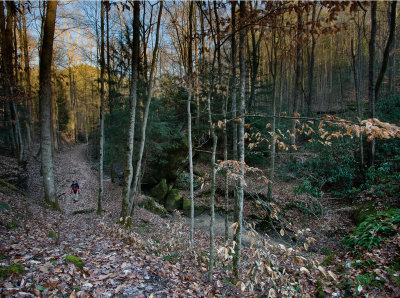
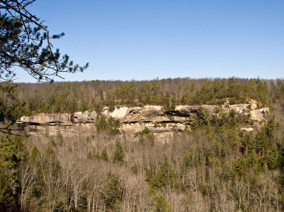
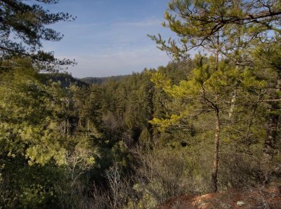
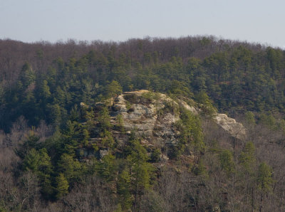
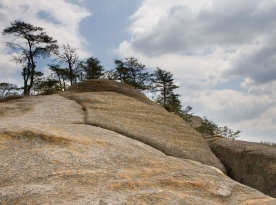
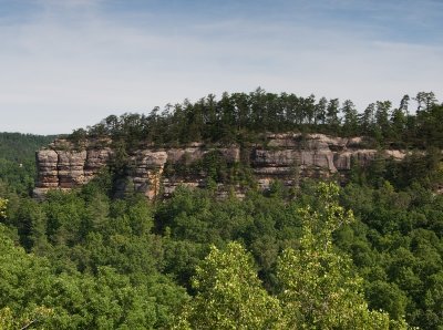
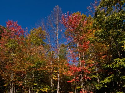 Ridge line trees |
 Sky Bridge |
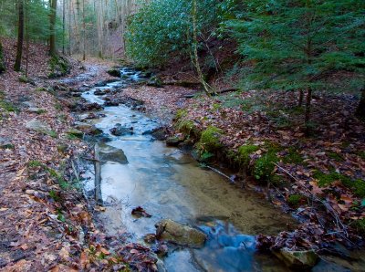
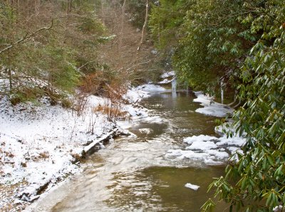
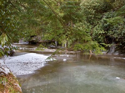
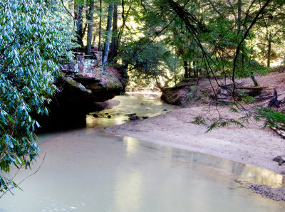
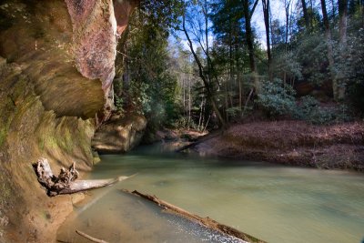
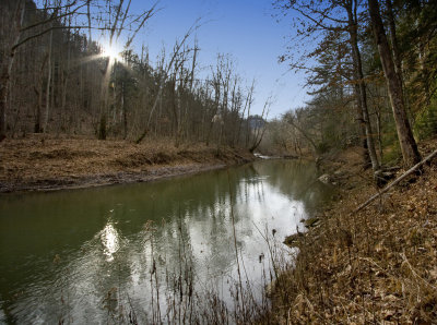
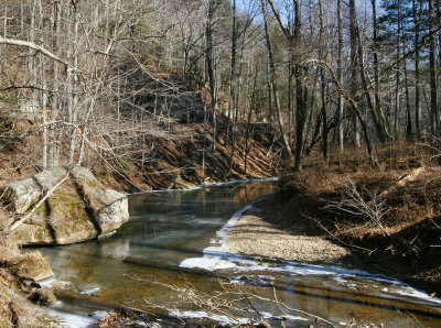
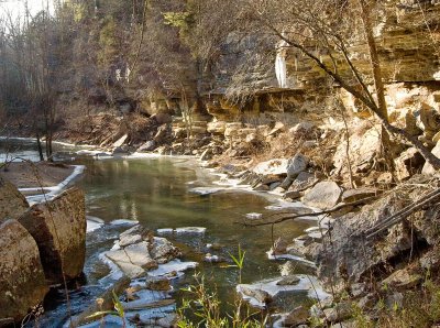
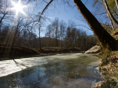
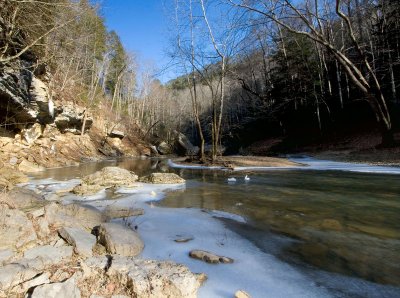
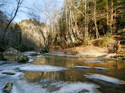
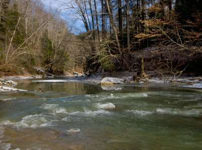
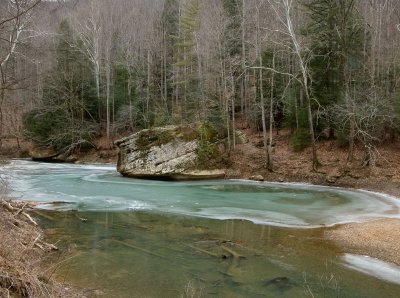
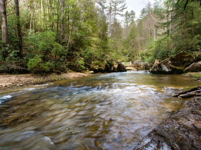
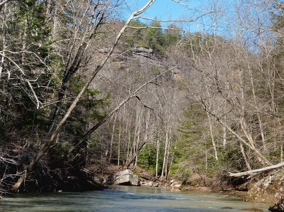
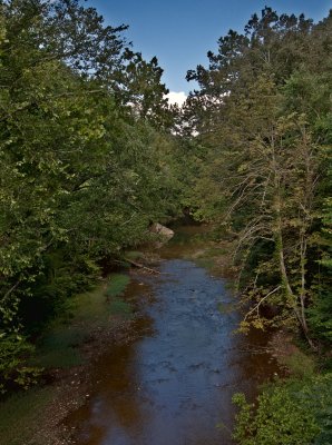
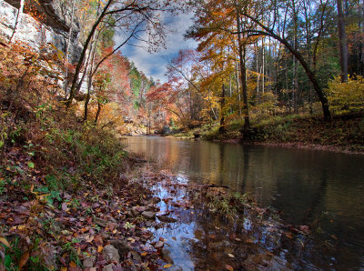
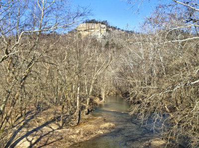
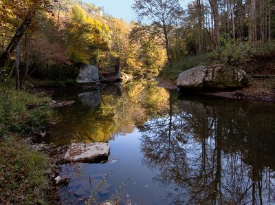 The Red River |
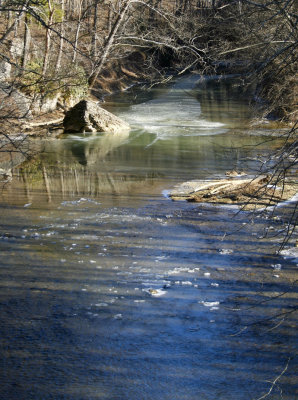
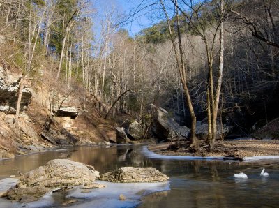
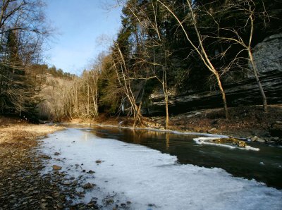
 The Red River |
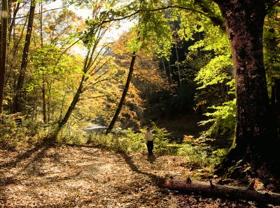
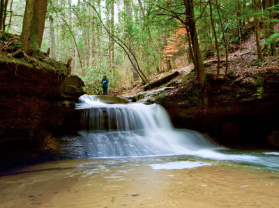
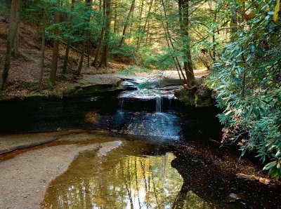
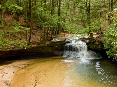
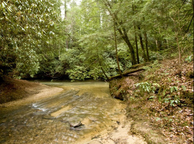
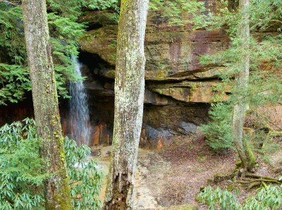
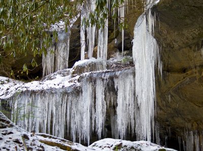
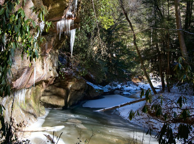
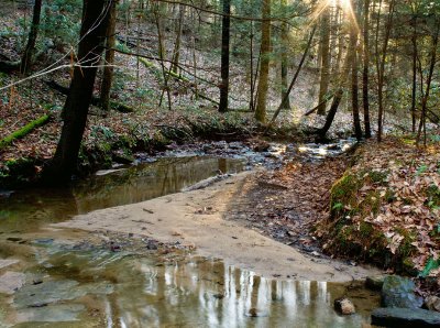
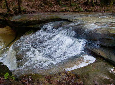
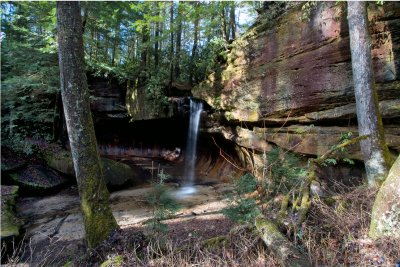
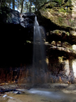
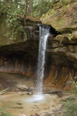
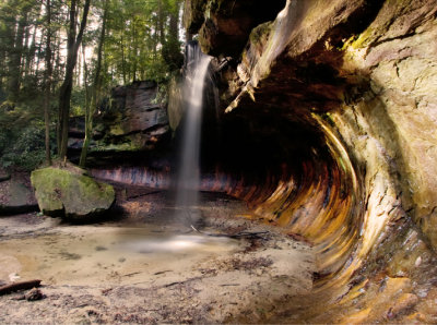
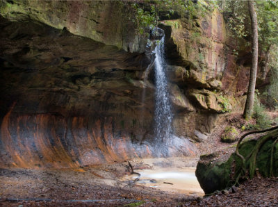
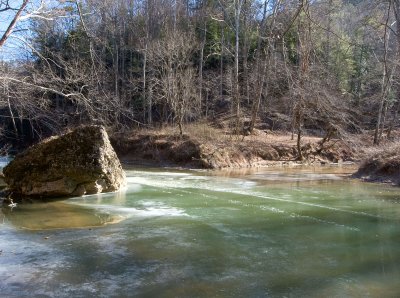
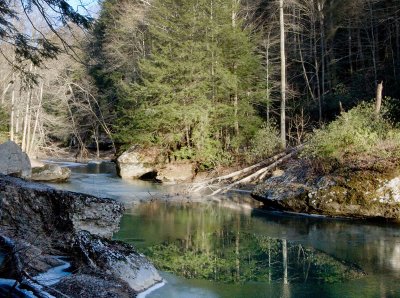
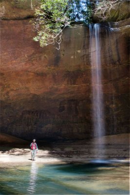
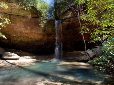
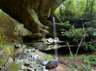
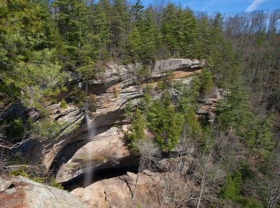
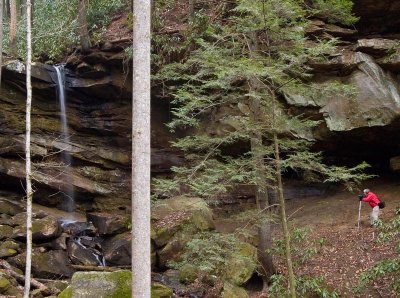
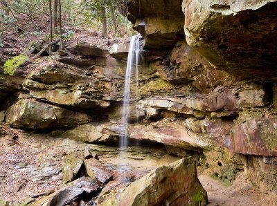
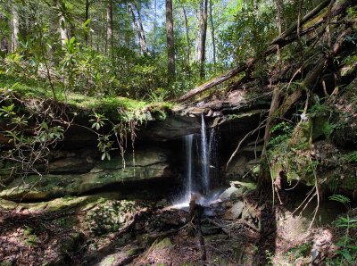
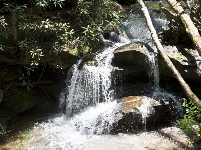
 Creation Falls |
 Creation Falls, after the big rain |
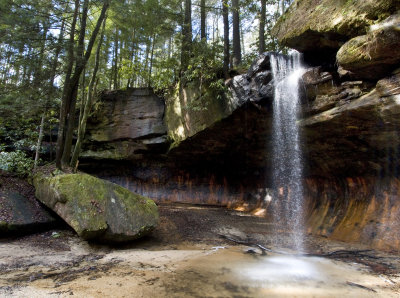
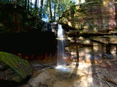
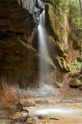
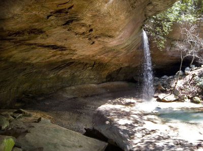
 Creation Falls |
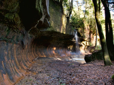
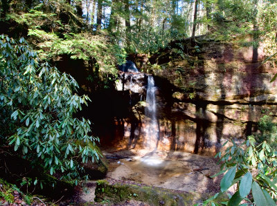
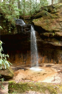
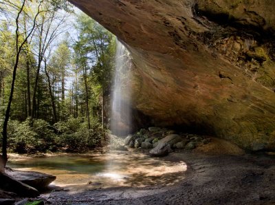
 Creation Falls |
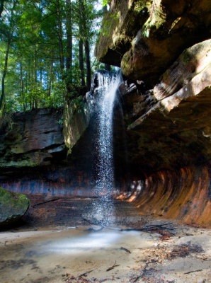
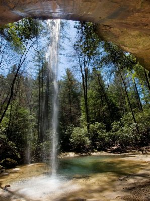
 Creation Falls |
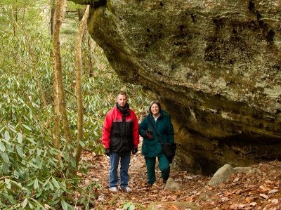
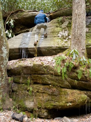
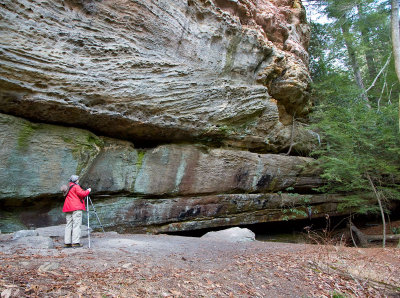
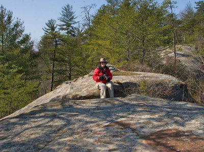
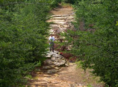
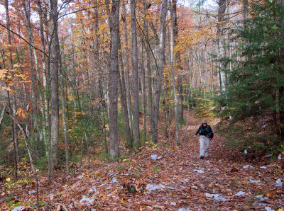
 Danny at Rock Bridge |
 From Tunnel Ridge Road |
 From Tunnel Ridge Road |
 Tunnel Ridge Road Overlook |
 Tunnel Ridge Road Overlook |
 Tunnel Ridge Road Overlook |
 Oak |
 Rhododendron |
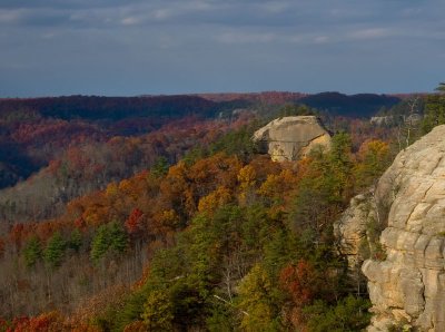
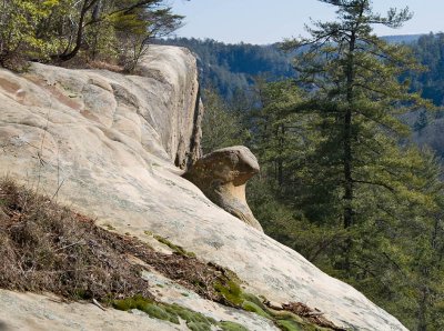
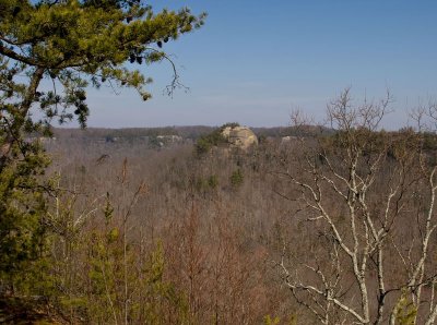
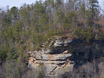
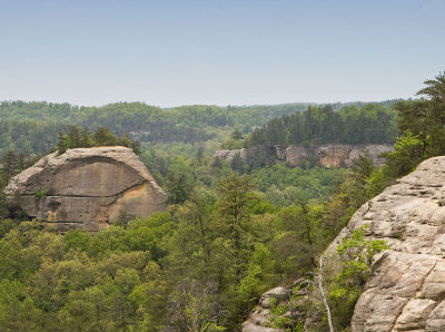
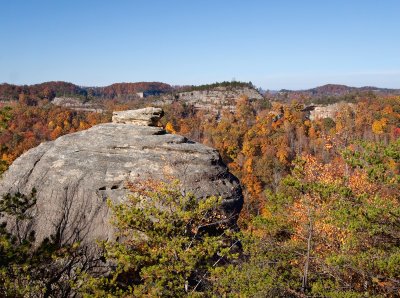
 Haystack Rock in right background |
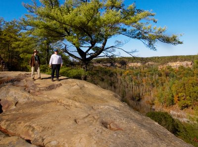
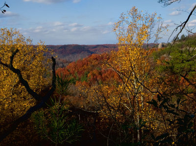
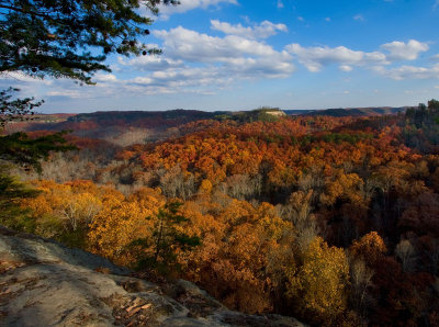
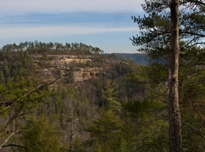
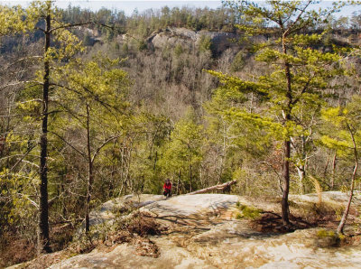
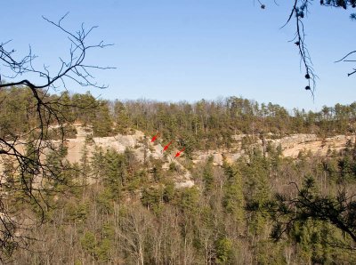
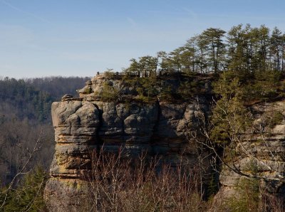
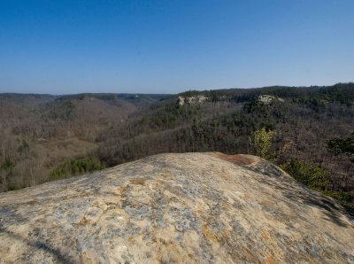
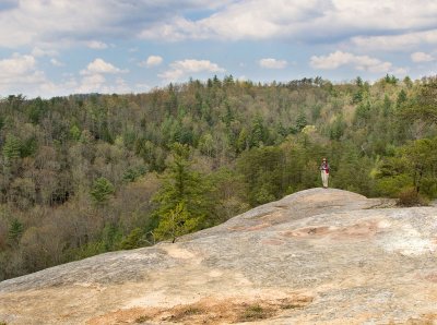
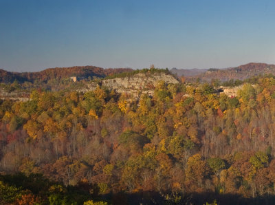
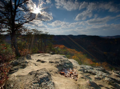 Auxier Ridge Trail Overlook |
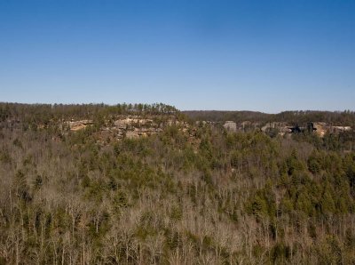
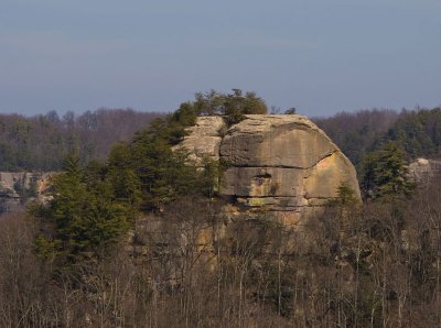
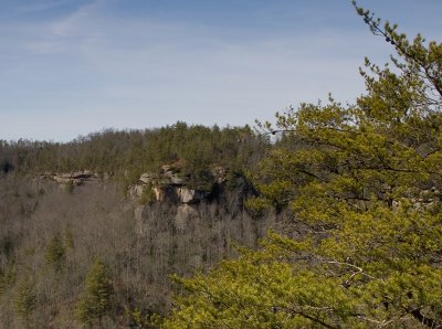
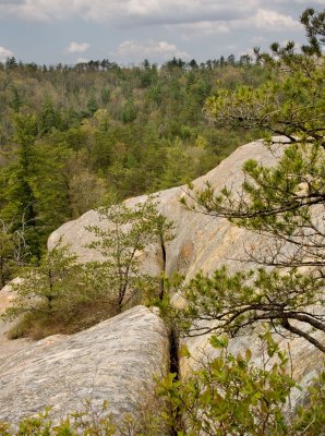
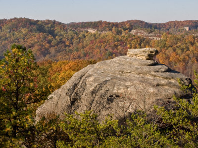
 Courthouse Rock, seen from Auxier Ridge Trail |
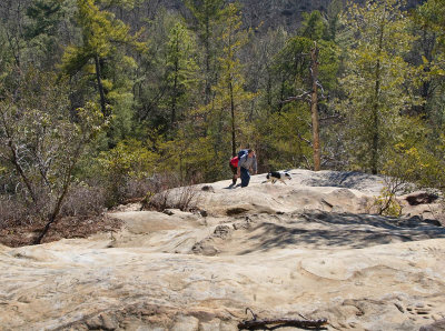
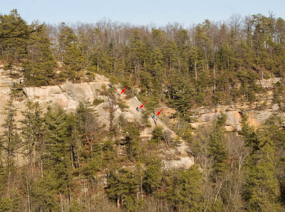
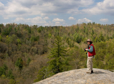
 Auxier Ridge Trail Overlook |
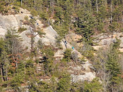
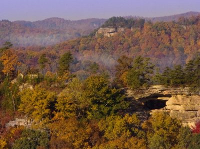
 From Auxier Ridge Trail |
 From Auxier Ridge Trail |
 From Auxier Ridge Trail |
 From Chimney Top Rock Trail |
 Sunset at Chimney Top Rock |
 December Evergreens |
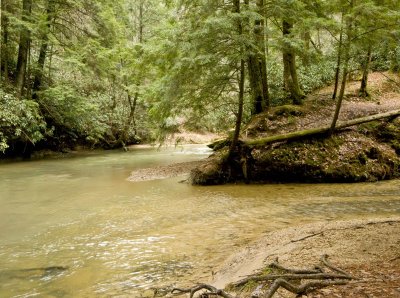
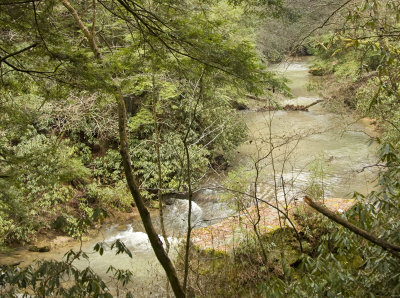
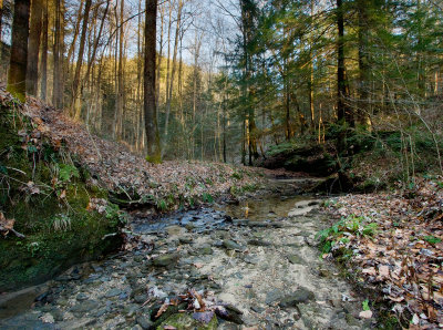
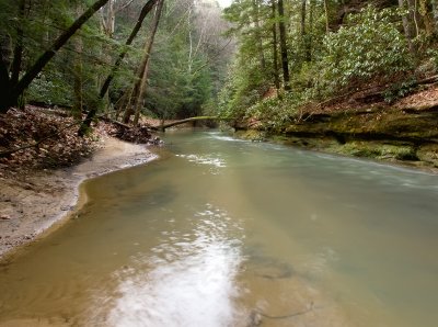
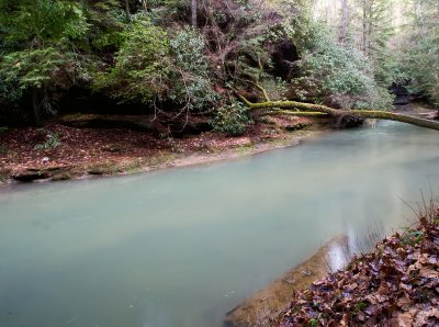
 Swift Camp Creek |
 Confluence of Dog Fork and Swift Camp Creek |
 Confluence at Swift Camp Creek |
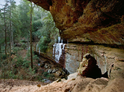
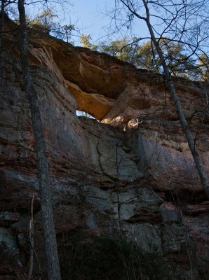
 Angel Windows |
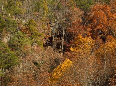
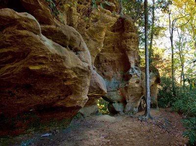
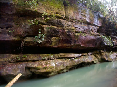
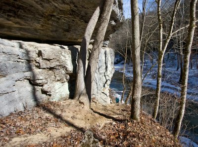
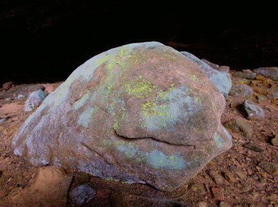
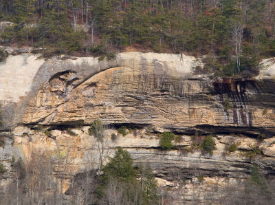
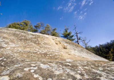
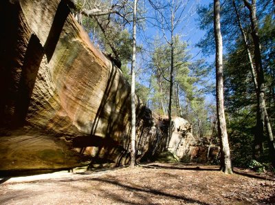
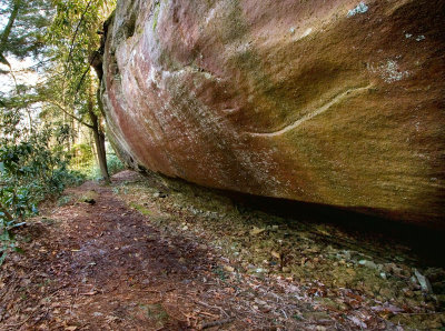
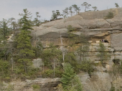
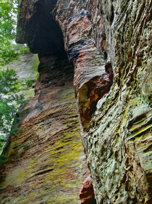
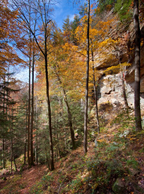
 Sandstone |
 Sandstone |
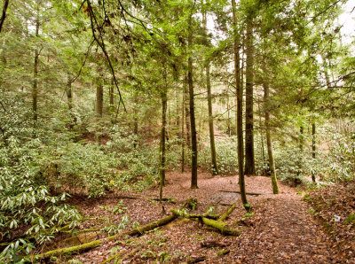
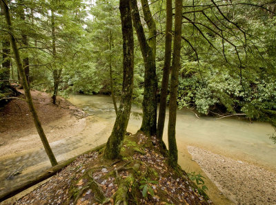
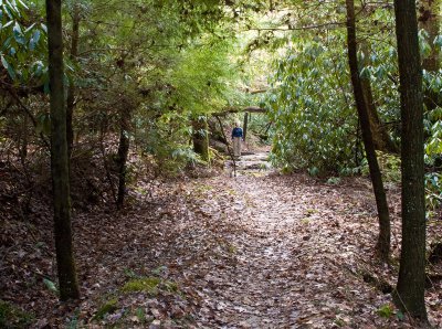
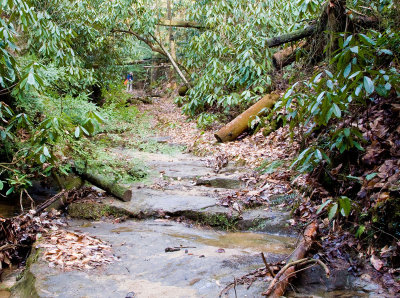
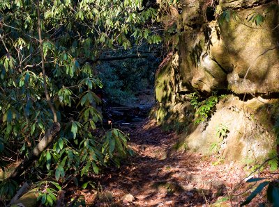
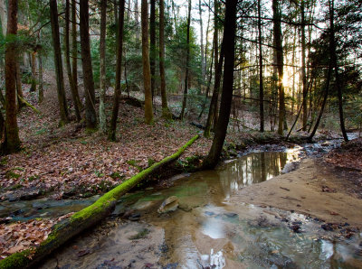
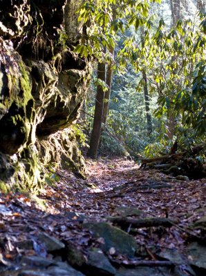
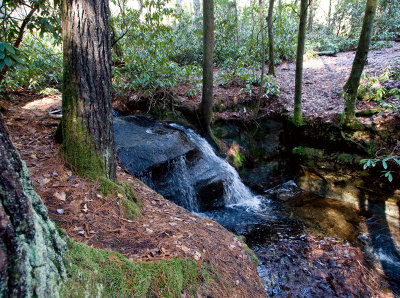
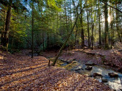 Creek on Rough Trail |
 Rough Trail |
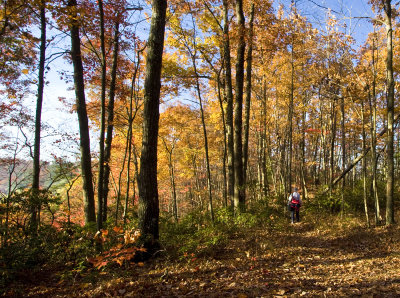
 Near Rough Trail |
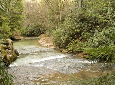
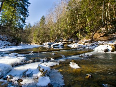
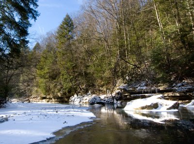
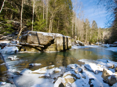
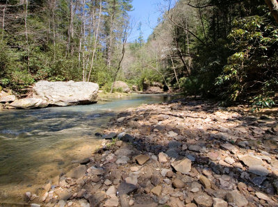
 Swift Camp Creek |
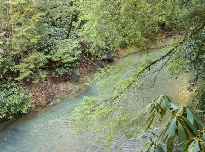
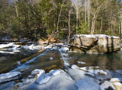
 Swift Camp Creek |
 Swift Camp Creek |
 Silvermine Arch Trail |
 Late December Evergreens |
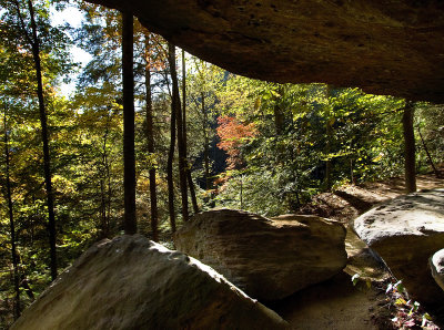
 Near Hidden Arch |
 Near Silvermine Arch |
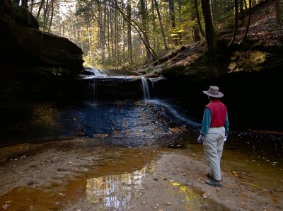
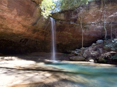
 Poochs Turtle Falls |
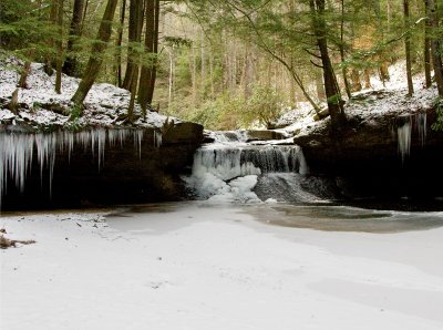
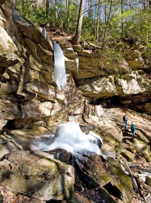
 Poochs Turtle Falls in January |
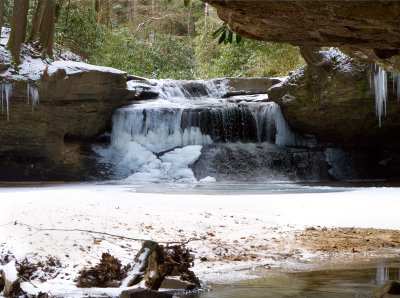
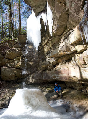
 Poochs Turtle Falls in January |
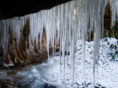
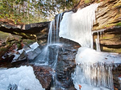
 Poochs Turtle Falls in January |
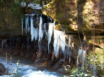
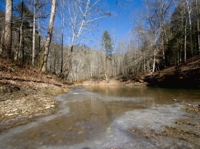
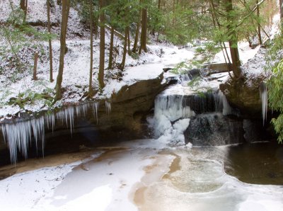 Creation Falls in January |
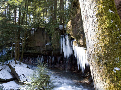
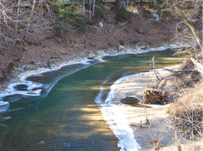
 Creation Falls |
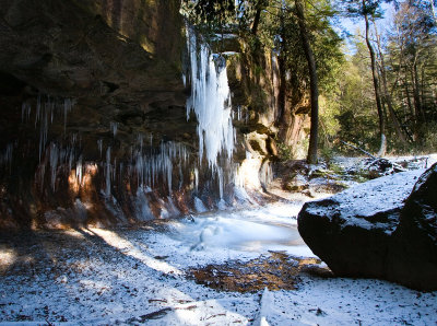
 Creation Falls |
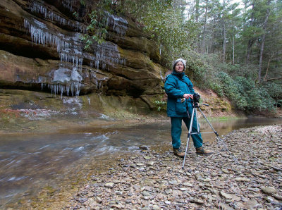
 By Nancy |
 By Nancy |
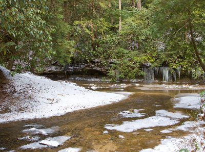
 Swift Camp Creek |
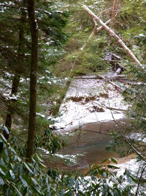
 Swift Camp Creek |
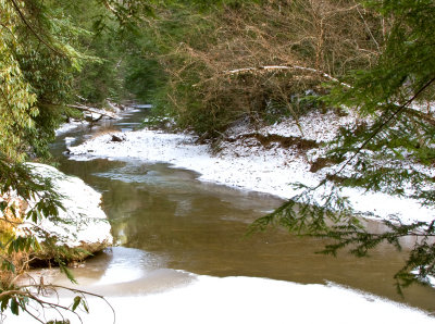
 Swift Camp Creek |
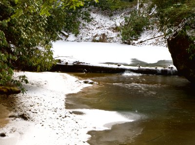
 Swift Camp Creek |
 Swift Camp Creek |
 Swift Camp Creek |
 Swift Camp Creek |
 Swift Camp Creek |
 Whittleton Arch Trail |
 Whittleton Arch Trail |
 Whittleton Arch Trail |
 Whittleton Arch Trail |
 Whittleton Arch Trail |
 Whittleton Arch Trail |
 Whittleton Arch Trail - Water goes underground |
 Whittleton Arch Trail |
 Whittleton Arch Trail |
 Creation Falls |
 Swift Creek just below Creation Falls, after a big rain |
 Poochs Turtle Falls |
 Poochs Turtle Falls |
 Poochs Turtle Falls |
 Head of Poochs Turtle Falls |
 Poochs Turtle Falls |
 Poochs Turtle Falls |
 Poochs Turtle Falls |
 Poochs Turtle Falls |
 Poochs Turtle Falls |
 Poochs Turtle Falls |
 Poochs Turtle Falls |
 The way out of the Poochs Turtle Falls dropoff |
 Poochs Turtle Falls |
 Poochs Turtle Falls |
 Swift Camp Creek |
 Swift Camp Creek |
 Swift Camp Creek |
 Swift Camp Creek |
 Swift Camp Creek |
 Lunch in solitude on Swift Camp Creek Trail |
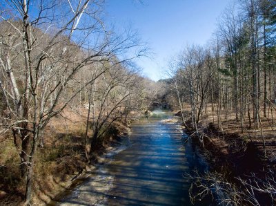
 The Red River, green in January |
 On Swift Camp Creek |
 On Swift Camp Creek |
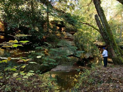
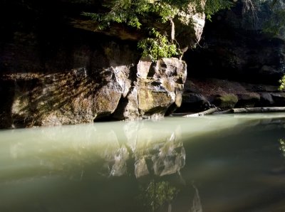
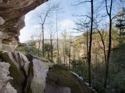
 Riverbank Overhang |
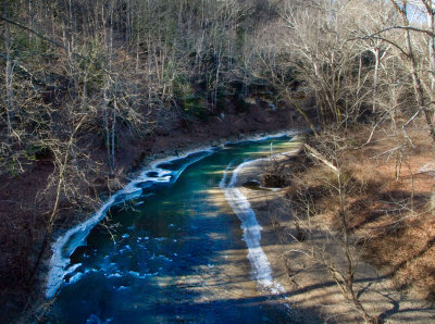
 Red River on a good January day |
 Red River (north fork) |
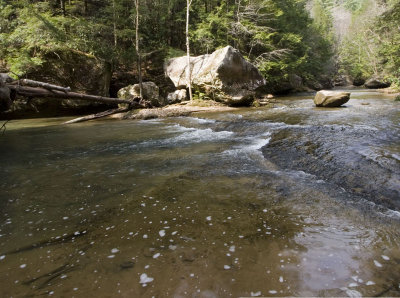
 Red River |
 Red River |
 Douglas Trail |
 Red River |
 Red River |
 Red River |
 Confluence of Swift Camp Creek and Red River |
 Red River |
 Red River |
 Red River |
 Red River |
 Red River |
 Red River |
 Red River |
 Red River |
 Red River |
 Log Dam |
 Log Dam |
 Red River |
 Red River |
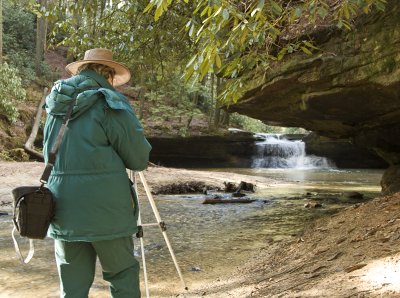
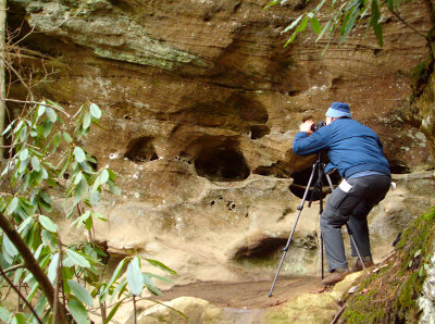
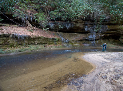
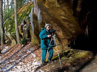
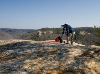
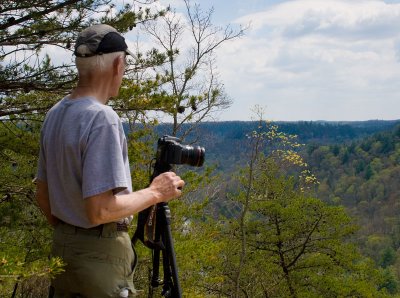
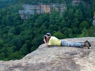
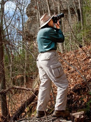
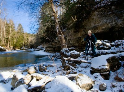 Red River Photographer |
 Douglas Trail |
 Red River |
 Douglas Trail |
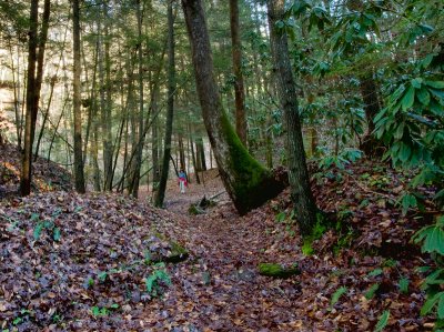
 On Rough Trail |
 Lichen on Rough Trail |
 Taken from Rooster Point |
 Taken from Rooster Point |
 From overlook on Sheltowee Trace |
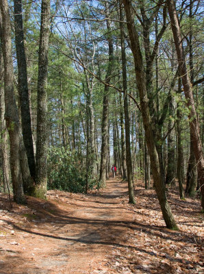
 On Sheltowee Trace |
 On Sheltowee Trace |
 On Sheltowee Trace |
 On Sheltowee Trace |
 On Sheltowee Trace |
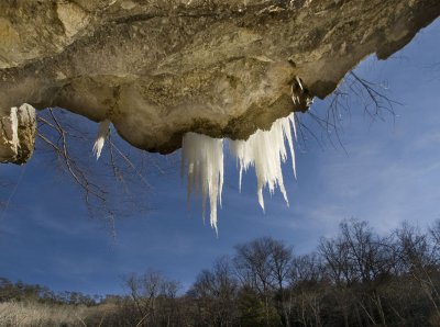
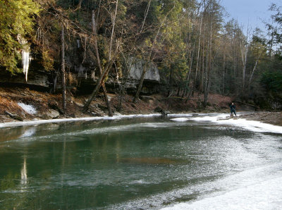
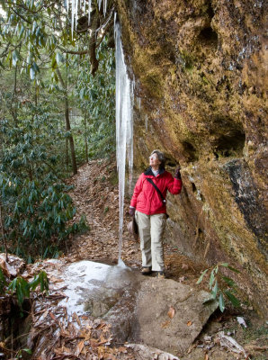
 Iced-over swimming hole |
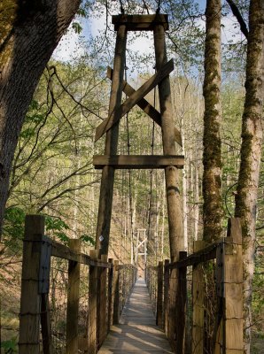 Suspension Bridge |
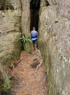
 Indian Staircase |
 Indian Staircase |
 Indian Staircase |
 A dog actually came up Indian Staircase |
 The Frog Head |
 Taken from Rooster Point |
 Taken from Rooster Point |
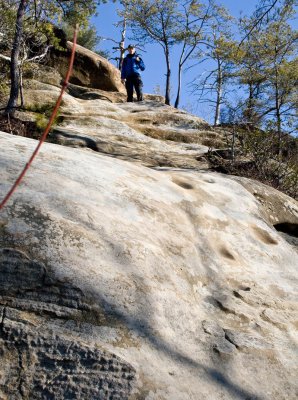
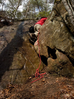
 Climbers on Indian Staircase |
 Climbers on Indian Staircase |
 Climbers on Indian Staircase |
 On Sheltowee Trail |
 The Council Room |
 On Sheltowee Trail |
 The Council Room |
 Taken near Princess Arch Trail |
 Near Princess Arch Trail |
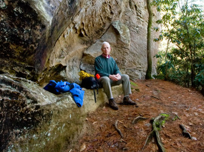
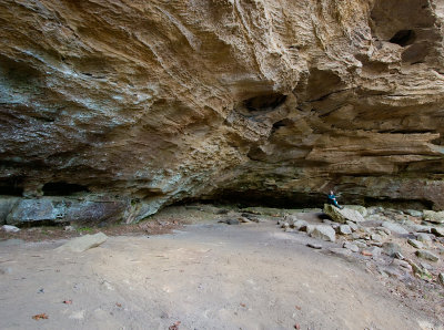
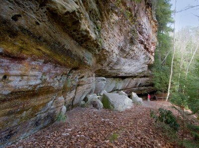
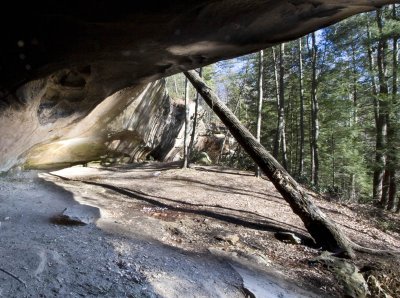
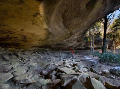
 Cave about 500 feet off Princess Arch Trail |
 Cave |
 Chimney Top Rock Lookout Point as seen from Half Moon Rock |
 Raven Rock |
 Raven Rock |
 Auxier Ridge |
 Swift Camp Creek Overlook (in February!) |
 Swift Camp Creek Overlook |
 Swift Camp Creek Overlook |
 Taken from top of Castle Arch |
 Taken from top of Castle Arch |
 Hanson's Point |
 Hanson's Point |
 Hanson's Point |
 Half Moon Rock |
 Pinch 'Em Tight Gap |
 Nancy trying to leave Ledford Arches area |
 Pinch 'Em Tight Trail |
 Pinch 'Em Tight Trail |
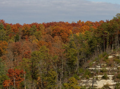
 Late winter in the gorge |
 Swift Camp Creek near the end of Wildcat Trail |
 Swift Camp Creek near Wildcat Trail |
 On Wildcat Trail |
 Swift Creek crossing point to begin the climb to Timmons Arch |
 Copperas Creek Waterfalls |
 Copperas Creek Waterfalls |
 Copperas Creek Waterfalls |
 Copperas Creek Waterfalls |
 Copperas Creek Waterfalls |
 Copperas Creek Waterfalls |
 Cloudsplitter |
 Hikers in the outer window of cave/arch |
 Ascent with the infamous Cloudsplitter rope |
 Looking back at point of ascent |
 Top of Cloudsplitter |
 Top of Cloudsplitter |
 Top of Cloudsplitter |
 The Cloudsplitter crack - very long |
 Crack |
 Over the crack beginning |
 Top of Cloudsplitter |
 Top of Cloudsplitter - view of Gladie |
 Top of Cloudsplitter - view of Indian Arch area |
 Top of Cloudsplitter |
 Beginning of the crack - entrance to the cave |
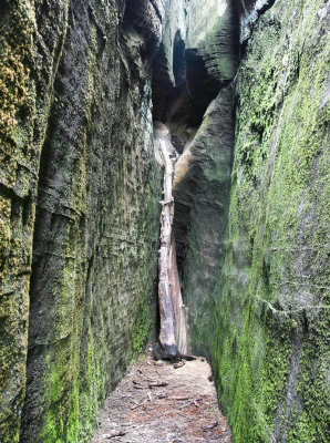 Moss covering the walls |
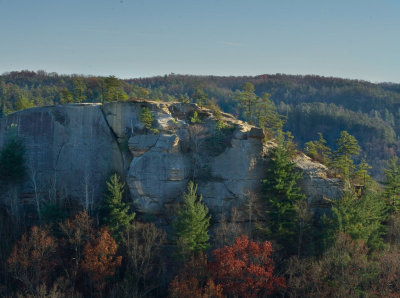
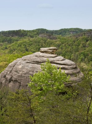
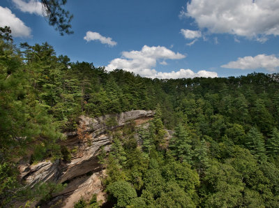
 Courthouse Rock |
 Haystack Rock |
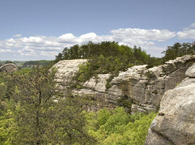 Auxier Ridge |
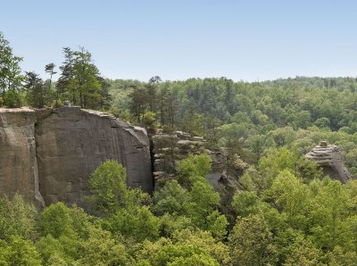 Auxier Ridge |
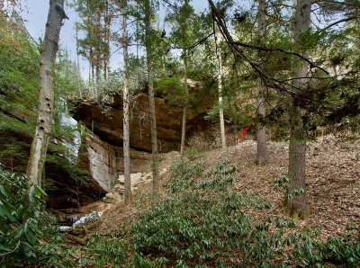
 Still Arch Falls |
 The Narrows |
 From the trail at The Zoo climbing area |
 Sunrise at Auxier Ridge |
 Early morning at Auxier Ridge |
 Haystack Rock |
 Double Arch, seen from Auxier Ridge |
 Double Arch, seen from Auxier Ridge |
 Late afternoon sun lights up Double Arch |
 Early November morning |
 Early November morning |
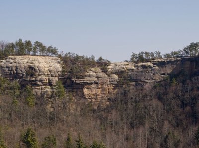
 Military Wall |
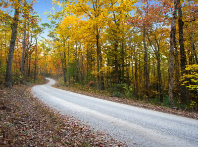 Rock Bridge Road |
 Eagle Point Buttress Waterfalls |
 Eagle Point Buttress Waterfalls |
 Eagle Point Buttress |
 Overlook from Eagle Point Buttress |
 Chimney Top Rock |
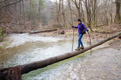
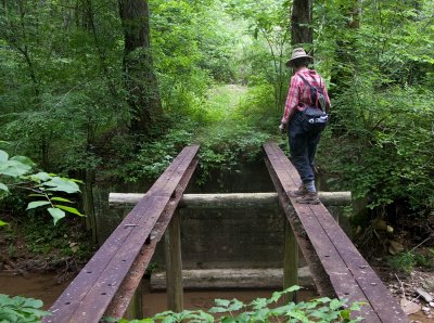 Crossing the Middle Fork of the Red River |
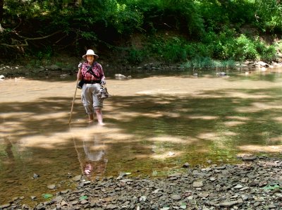 Crossing the North Fork of the Red River |
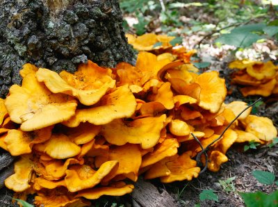 Mushrooms |
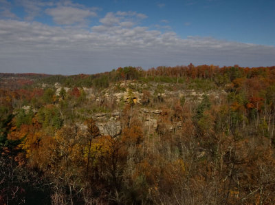
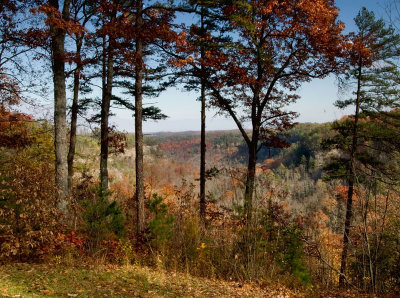
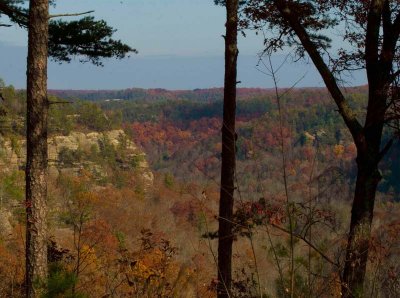
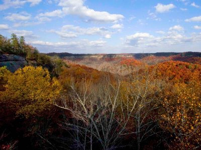
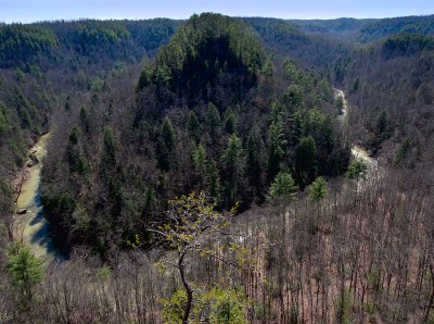
 Overlook |
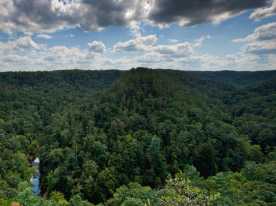 Overlook |
 Eagle Buttress |
 Sunrise on Cloudsplitter |
 Sunrise on Cloudsplitter |
 Sunrise on Cloudsplitter |
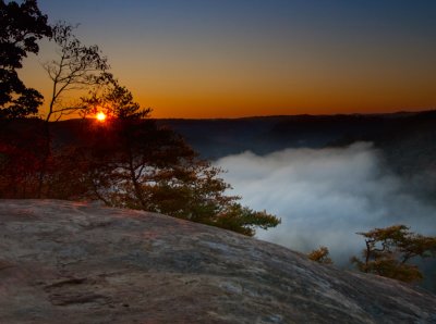
 Sunrise at the John Snell Overlook |
 Fall 2009 |
 Eagle Buttress Overlook |
 Summertime on the Red River |
 Eagle Buttress |
 North Fork |
 North Fork |
 Swift Camp Creek Overlook Trail |
 Auxier Ridge |
 Auxier Ridge |
 Auxier Ridge |
 Haystack Rock |
 Auxier Ridge |
 Getting the shot at Amos Ridge |
 East Fork of Indian Creek |
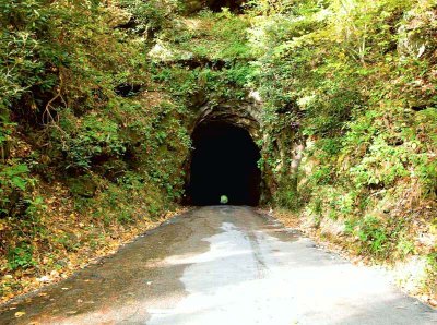 Nada Tunnel |
 Nada Tunnel |
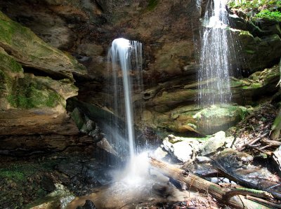
 Bell Falls |
 Bell Falls |
 Bell Falls |
 Bell Falls |
 Upper Bell Falls |
 Chimney Rock |
 Raven Rock |
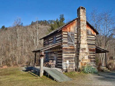 Cabin at Gladie |
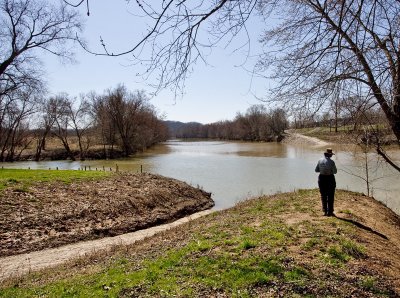 Red River |
 Red River |
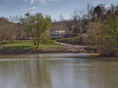 Mouth of the Red River |
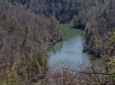 Mill Creek Lake |
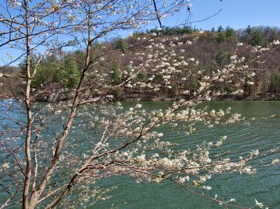 Spring at Mill Creek Lake |
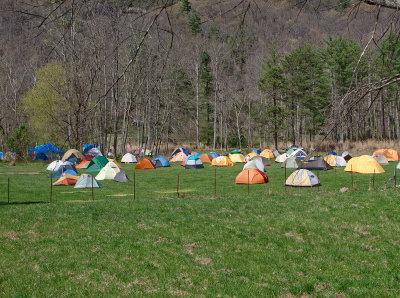 Tent City |
 Loess Arch Falls |
 Noah's Spout |
 Noah's Spout |
 Pebble Beach Trail |
 Parched Corn Creek Waterfalls |
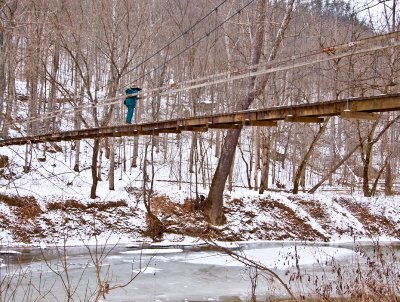 Suspension Bridge in Winter |
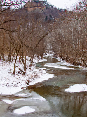 Red River in Winter |
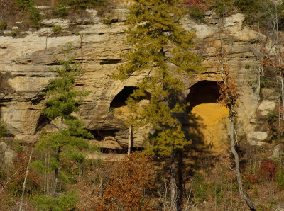
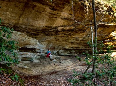
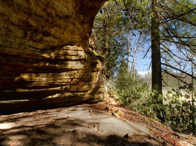
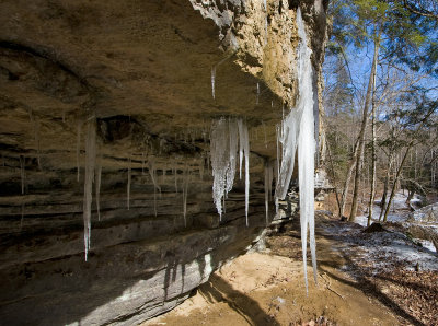
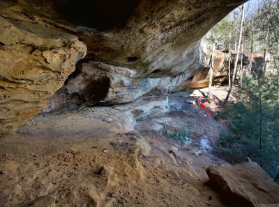
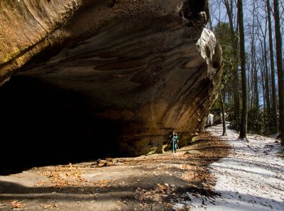
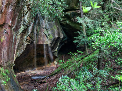
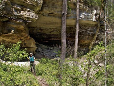 Cave |
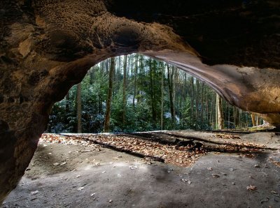
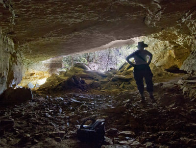 Cave |
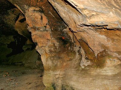
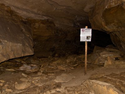 Cave |
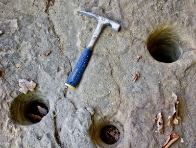 Hominy Holes |
 Meriba Fork Gorge |
 Meriba Fork Waterfall |
 Meriba Fork Gorge |
 Meriba Fork Gorge |
 Susie Patrick crosses Spaas Creek |
| previous page | pages 1 2 3 4 5 6 7 8 9 10 11 12 13 14 15 16 17 18 ALL | next page |
| Heidi and Ulrich Burkhalter | 26-Aug-2012 06:13 | |
| Roger Keith | 10-May-2012 18:36 | |
| larry hereford | 10-Nov-2011 17:25 | |
| Guest | 17-May-2011 20:59 | |
| joseantonio | 30-Apr-2010 01:54 | |
| Eddie | 22-Oct-2009 02:41 | |
| Guest | 05-Nov-2008 23:51 | |
| Guest | 01-Oct-2008 06:15 | |
| RGDPHOTO | 15-Aug-2008 17:51 | |
| Christopher P | 13-Aug-2008 02:25 | |
| Guest | 21-Jun-2008 04:06 | |
| Guest | 30-May-2008 01:13 | |
| Guest | 02-May-2008 03:07 | |