


|
|
|
|
|
|
| Deems Burton | profile | all galleries >> Galleries >> Utah's High Uintas Wilderness | tree view | thumbnails | slideshow |
| previous page | pages 1 2 3 4 5 6 7 8 ALL | next page |
:: High Uintas Panoramas :: |
 Come on ,,, Let's Go to Utah! |
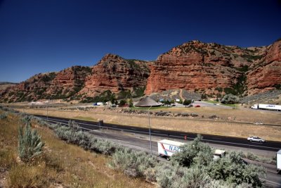 I-80 east of SLC |
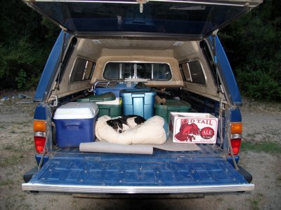
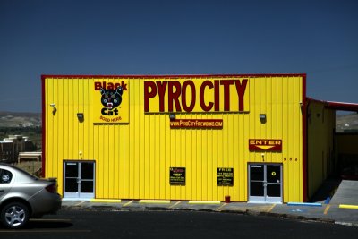 A quick stop in Evanston, Wy for tacos, gas, and bottle rockets |
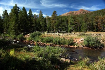 Little East fork of Black Fork creek Day1 |
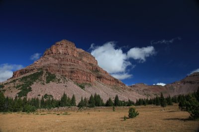
 First view of Squaw pass |
 Upper Little East fork canyon |
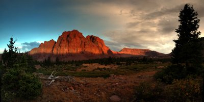
 First Camp and Squaw Pass |
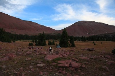 Kelly surveys her camp |
 Squaw pass in a hurricane |
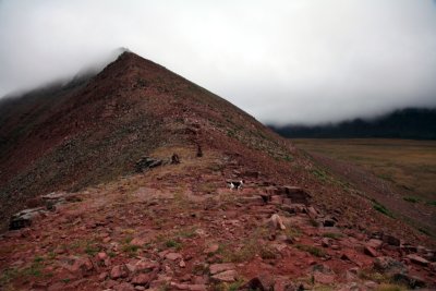 Squaw Pass during a wind storm |
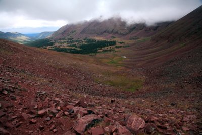
 Upper Oweep basin from Squaw Pass |
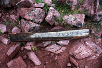 Old trail sign on Squaw Pass |
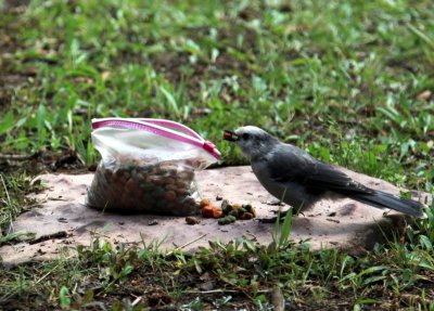 Clarks Nut Cracker eating dog food |
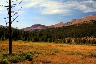
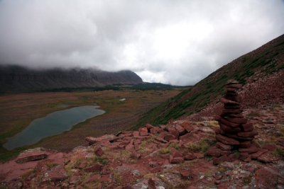
 Near Lambert Mdws |
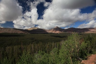 Upper Oweep Creek Canyon |
| previous page | pages 1 2 3 4 5 6 7 8 ALL | next page |
| comment | share |
| Gail Lowe | 26-Jan-2010 11:47 | |
| Arlette Laan | 10-Sep-2009 13:10 | |
| Monte Dodge | 08-Sep-2009 01:48 | |