


|
|
|
|
|
|
| Deems Burton | profile | all galleries >> The Salmon Trinity Alps Wilderness >> The Trinity Alps High Route 2008 | tree view | thumbnails | slideshow |
| previous page | pages 1 2 3 4 5 6 7 8 9 10 11 12 13 ALL | next page |
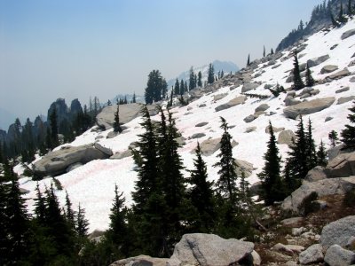
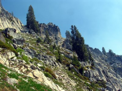 Forbidden Pass chute is well hidden, right one |
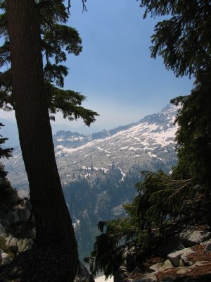
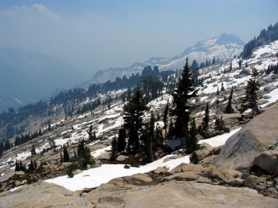
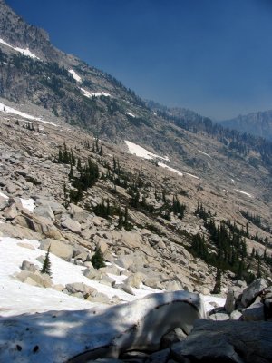 View into next cirque from Forbidden Pass |
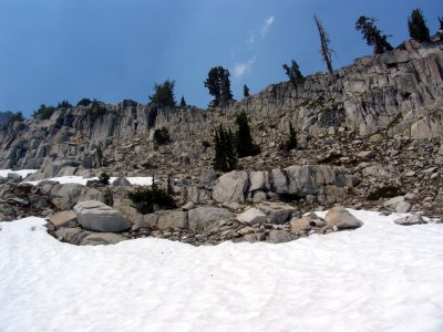
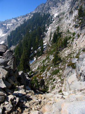 Forbidden Pass chute and hanging forest |
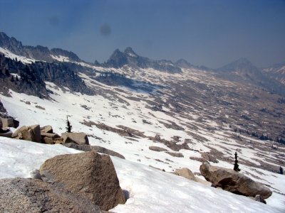
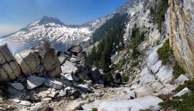 Forbidden Pass Panorama |
 View of Boulder Creek Cirque route from Forbidden Pass |
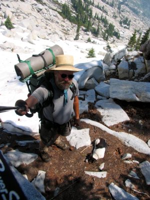 Kelly and me on Forbidden Pass |
 View back at Forbidden Pass |
 View back/south at Forbidden Pass |
 Mt Hilton boulder field, each is big as cars |
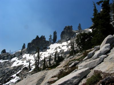
 View south of route to Mt Hilton arete |
 Mt Hilton Arete |
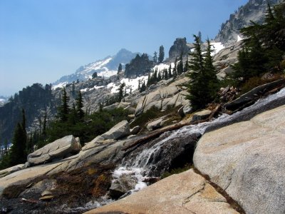
 Mt Hilton Arete view towards Thompson Peak |
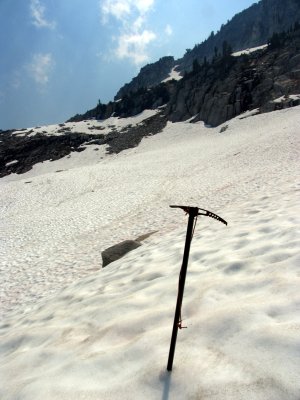 Mt Hilton arete descent aided by my ULA Helix! |
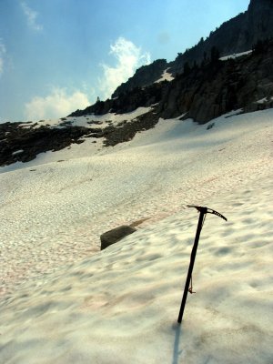 5 ounces of security I'm glad I carried for a week. The ULA Helix! |
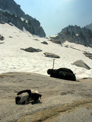 A quick rest stop after the treacherous Mt Hilton arete descent. |
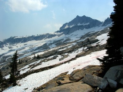 A view back at Mt Hilton arete. I descended the slope left of the Mt Hilton peak |
| previous page | pages 1 2 3 4 5 6 7 8 9 10 11 12 13 ALL | next page |
| comment | share |
| Ryan Waterbury | 24-Jul-2019 00:05 | |
| Greg Hummel | 06-Dec-2010 01:06 | |
| Gary Robertson | 11-Jul-2009 15:23 | |
| vernon in cecilville | 07-Dec-2008 07:22 | |
| Kevin in Yreka | 08-Nov-2008 08:30 | |
| Regan Dillon | 22-Jul-2008 16:14 | |
| Mark Duran | 22-Jul-2008 14:44 | |
| Teeeeeeeeeee | 20-Jul-2008 05:55 | |
| tortoise | 19-Jul-2008 23:54 | |
| Terry Marsh | 19-Jul-2008 01:01 | |
| Barry Ailetcher | 11-Jul-2008 01:22 | |
| Bob Reynolds | 09-Jul-2008 13:55 | |
| Reinhold Metzger | 09-Jul-2008 03:52 | |
| Giancarlo Guzzardi | 07-Jul-2008 08:21 | |
| Monte Dodge | 07-Jul-2008 00:15 | |