


|
|
|
|
|
|
| Dave Beedon | profile | all galleries >> Places >> Utah >> Wendover Area >> Silver Island Mountains >> Tetzlaff Peak Re-visited | tree view | thumbnails | slideshow | map |
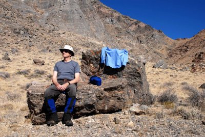
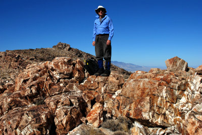
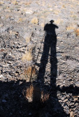
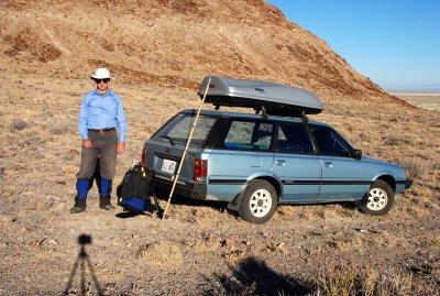
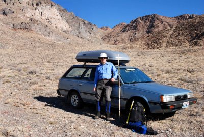 Self-portrait at start of hike: the Gully of Destiny awaits |
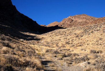
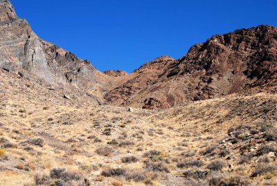 Looking up my route from the end of the gravel road |
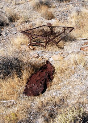 Remnants of mining activity?: bed frame and a crushed tank |
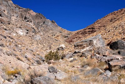
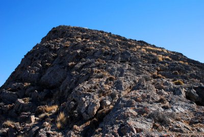
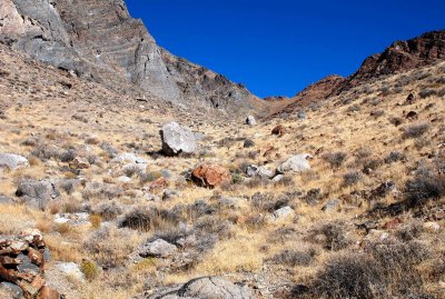 Rocky route |
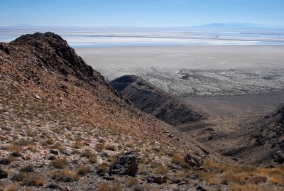
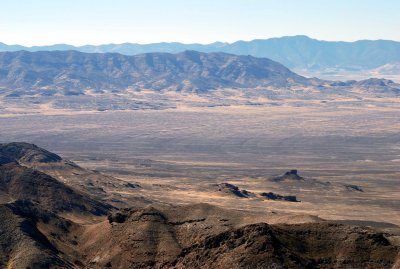
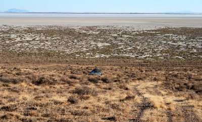
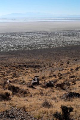 Salt flats (and its dead-end access road), evaporation ponds, and Interstate 80 |
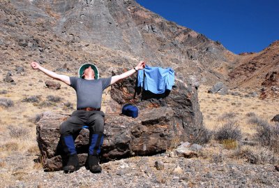
 Rest stop ruined by my forgetfulness |
 Looking for guidance to reach the summit ridge |
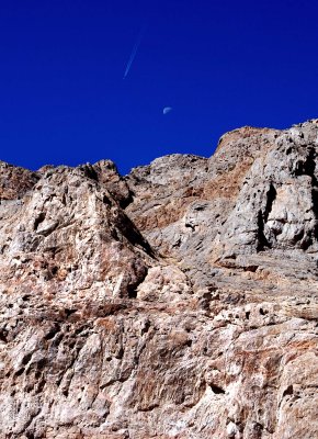 Tetzlaff jet moon |
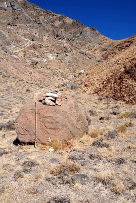 Cairn |
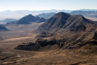
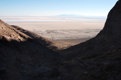
 View to southeast at Peak 4944 (at right) and the salt flats |
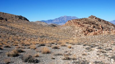
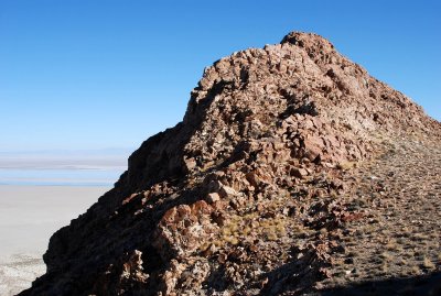
 Unnamed sub-peak of Tetzlaff Peak |
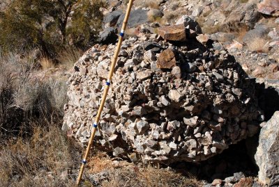 Conglomerate boulder |
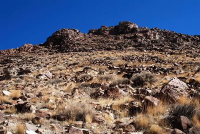
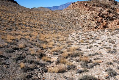
 Rocky terrain |
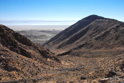
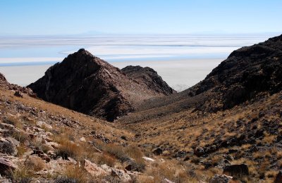
 Sub-peaks, salt flats, and a border between dark rocks and light rocks |
 Previous shot taken at the gentle pass at center |
 Plateau below summit: site of color border of stones and rest break |
 Rest break in rocks |
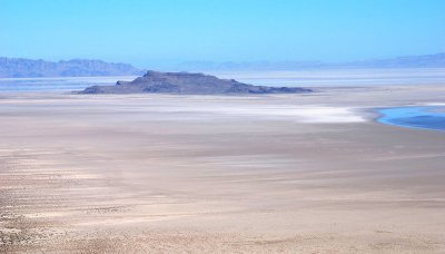 Floating Island is 15 miles (24km) away |
 Yet another shot of the border between dark stones and light stones |
 View northeast from Tetzlaff Peak's summit ridge |
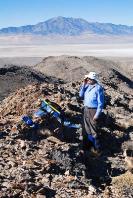 Phoning home from Tetzlaff Peak's summit ridge |
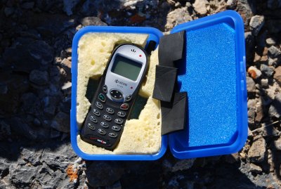 Cell phone protected by custom plastic case |
 Trip's high point: Tetzlaff's north ridge |
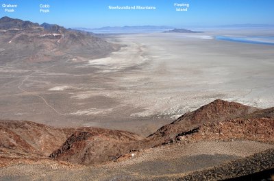
 Radio hill, Volcano Peak, Rishel Peak |
 Shorelines (faint curved lines) of ancient Lake Bonneville |
 My shadow complained about the rocky ground |
 Summit of a sub-peak on Tetzlaff's east side (and salt flats in the distance) |
 Shadowy sub-peak |
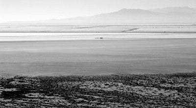
 Salt flats, framed |
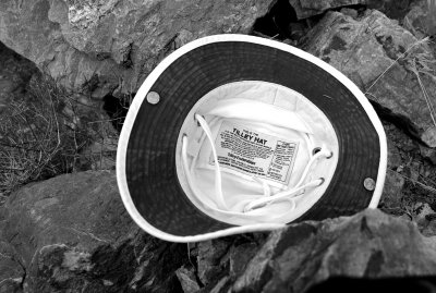 I took off my hat during a break to let my head cool |
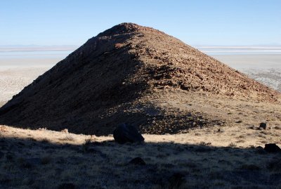 Peak 4944 (named after its summit elevation) |
 Salt flats access road (taken from lower slope of Tetzlaff Peak) |
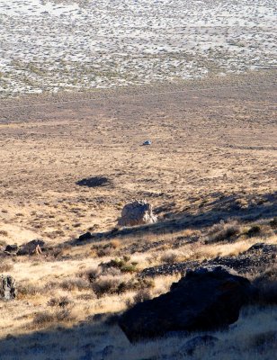 Car below |
 Where I just came from |
 A welcome sight: the car close at hand |
 Desert bum at end of hike, with camera's remote control in his right hand |
| comment | share |
| Dave Beedon | 21-Jun-2009 04:37 | |
| exzim | 21-Jun-2009 03:19 | |
| Ali Majdfar | 06-Feb-2007 13:20 | |