


|
|
|
|
|
|
| Dave Beedon | profile | all galleries >> Places >> Utah >> Valley of the Gods | tree view | thumbnails | slideshow | map |
|
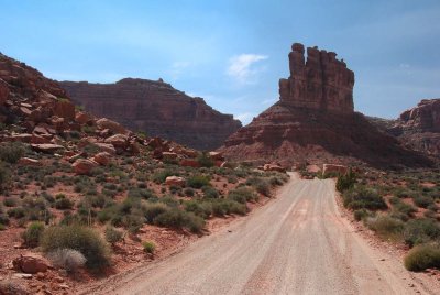
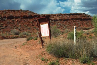 Bland scenery at the entrance |
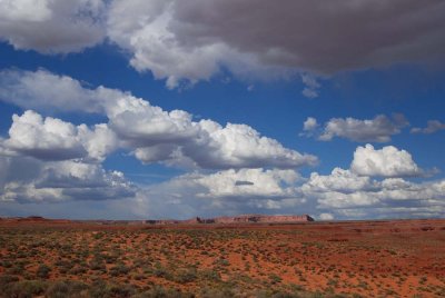
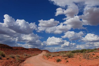 Puffy clouds |
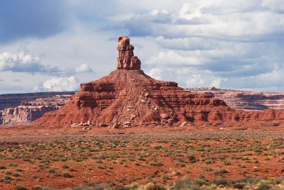
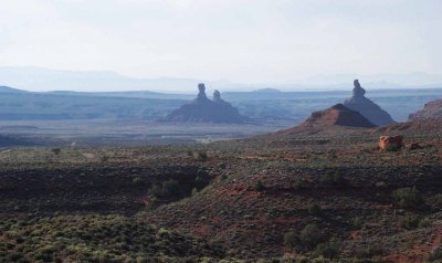
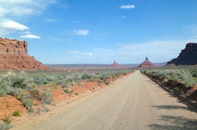
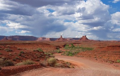 Gods of the valley |
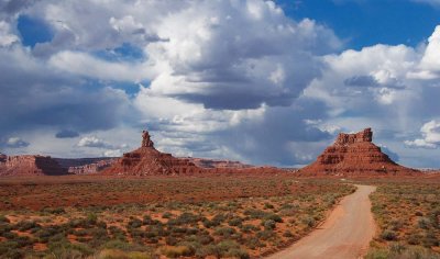 Delicious scenery |
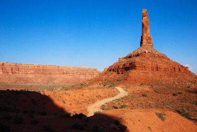
 Standing tall |
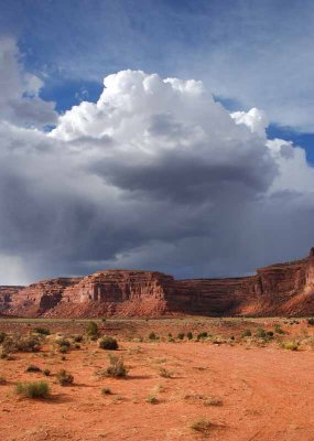
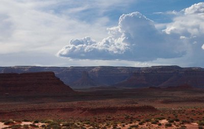 Changing weather |
 Big sky---and this is not Montana |
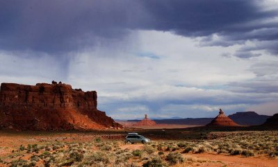 Rain threatens the Green Weenie |
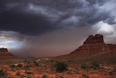
 Rain in Valley of the Gods |
 Sand storm approaching |
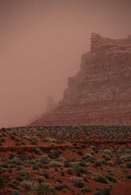 In a haze of sand |
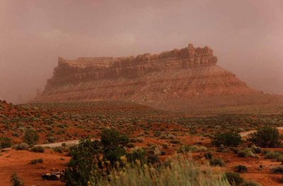 Butte engulfed by the storm |
 View from Moki Dugway |
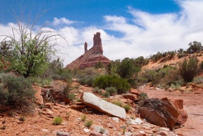
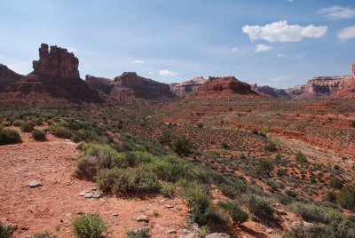
 Castle Butte in Valley of the Gods |
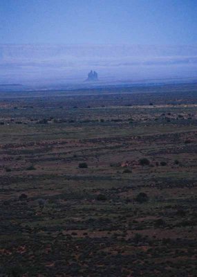
 Morning haze in Valley of the Gods |
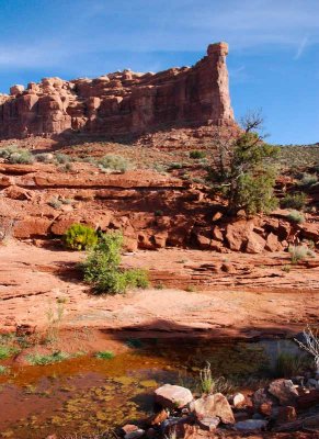
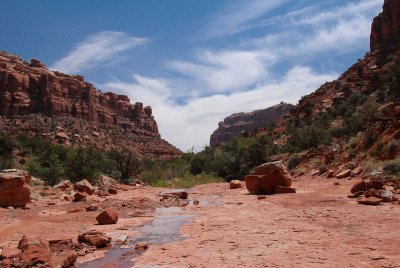
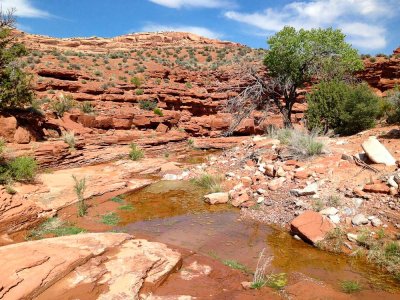
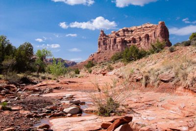
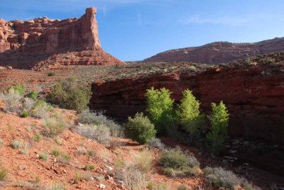 Stream course |
 Another view of the stream |
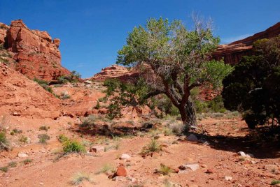
 Approaching the canyon that calls to me |
 Rest break |
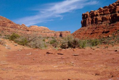
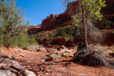
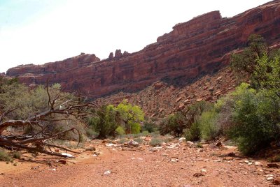
 First view of the streambed I wanted to explore |
 View up the valley of mystery |
 Camera holster strap |
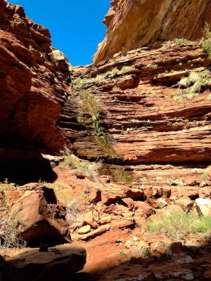
 Layers |
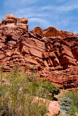
 Ramparts |
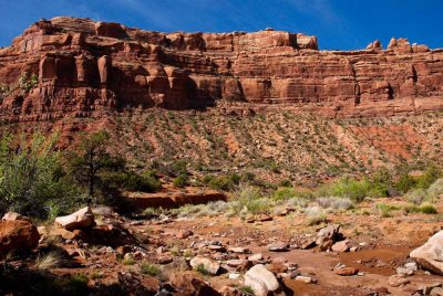
 Rough ground and flood debris |
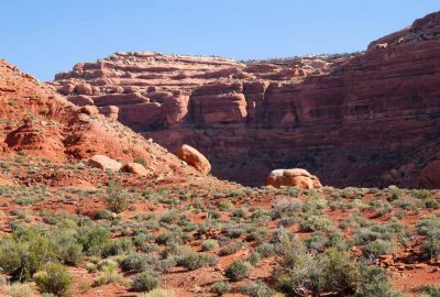
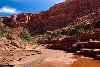
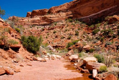
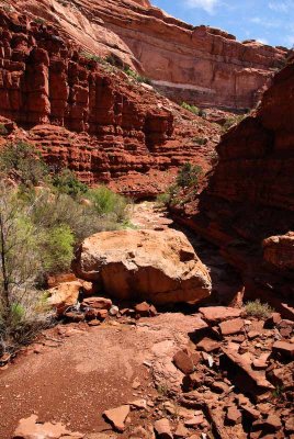
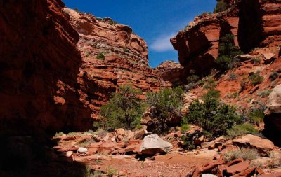
 Canyon view in Valley of the Gods |
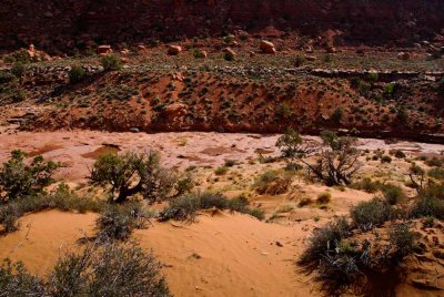
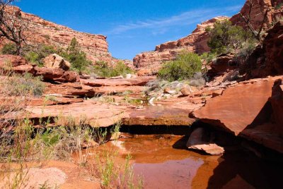 Stream or puddle? |
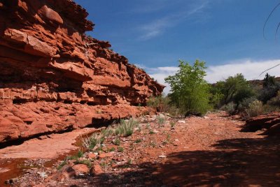
 Canyon sidewalk |
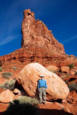
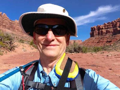
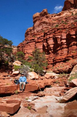 Canyon Boy in Valley of the Gods |
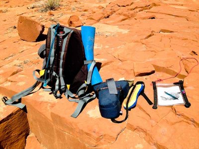 Hiking gear in Valley of the Gods |
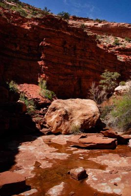 Boulder (looking upstream) |
 Boulder (looking downstream) |
 Little did I know... |
 Pour-off that stopped me |
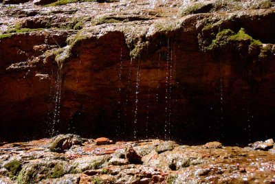 Drips |
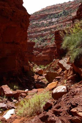 Looking down-canyon from the big pour-off |
 Return hike: cliff |
 Return hike: wide streambed |
 Return hike: wall |
 Return hike: DeGaulle and His Troops |
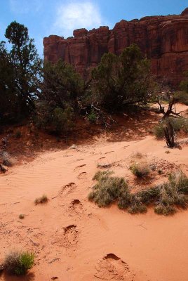 My footprints... 20150420_9249 |
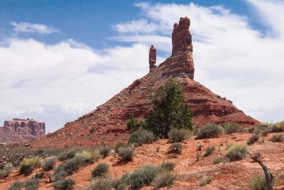 DeGaulle and His Troops (again)... 20150420_9260 |
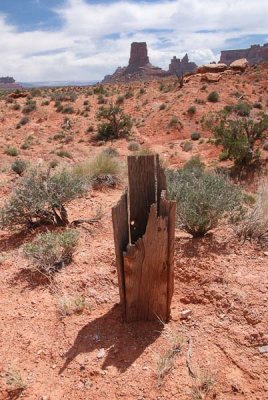 Post and tower... 20150420_9270 |
 Stream, not flowing... 20150420_7357 |
 Wash and wall... 20150420_9279 |
 Onward down the wash... 20150420_9293 |
 View of canyons... 20150420_9303 |
 The car is just around the corner... 20150420_9336 |
 Leaving the valley, heading for Moab... 20150420_7362 |
| comment | share |
| exzim | 13-Aug-2016 15:33 | |
| Hendrik Broekman | 05-Feb-2016 15:26 | |
| Dave Beedon | 02-Feb-2016 22:38 | |
| jCross | 02-Feb-2016 15:35 | |
| joseantonio | 17-Jan-2016 04:48 | |
| fotabug | 17-Jan-2016 04:17 | |
| Lee G | 12-Jan-2016 03:23 | |
| Barry McCartney | 12-Jan-2016 03:06 | |