photo sharing and upload picture albums photo forums search pictures popular photos photography help login
Dave Beedon | profile | all galleries >> Places >> Utah >> Moab (environs) >> Sand Flats >> Southeastern Fins tree view | thumbnails | slideshow | map

Southeastern Fins


Pictures were taken during a hike among the fins and domes of the southeast portion of Sand Flats Recreation Area, roughly east and southeast of campground cluster A.

Newest uploads are at the BOTTOM of the gallery.

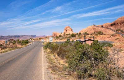
Looking northwest toward the entrance station
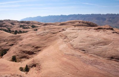
Rock landscape and power pole
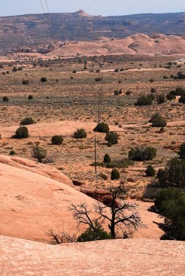
Looking northeast at a power line that serves a railroad communications facility
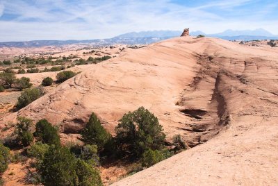
Small tower in a rock landscape (looking east-southeast)
Looking east at a 10-foot-tall rock tower that appears in the previous picture