


|
|
|
|
|
|
| Dave Beedon | profile | all galleries >> Places >> Utah >> Moab (environs) >> Corona Arch >> Hike to Corona Arch | tree view | thumbnails | slideshow |
|
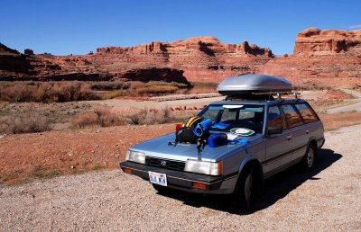 Trailhead: the parking lot in the background is part of the Gold Bar Recreation Area |
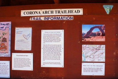 Bulletin board at the trailhead |
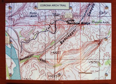 Topographic map of the area |
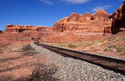 Soon after leaving the trailhead, one crosses a railroad track |
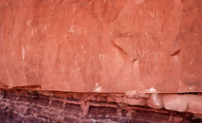 Graffiti on the trail to Corona Arch |
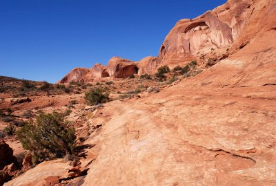 Looking back at the trail, here a slanted rock shelf |
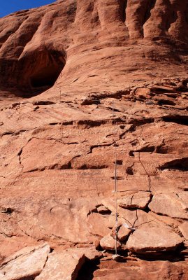 Steps and a cable railing at a difficult section of the trail |
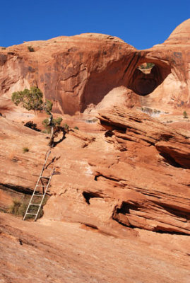 Ladder allows hikers to surmount a small wall |
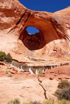 Bow Tie Arch, passed on the way to Corona Arch |
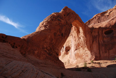
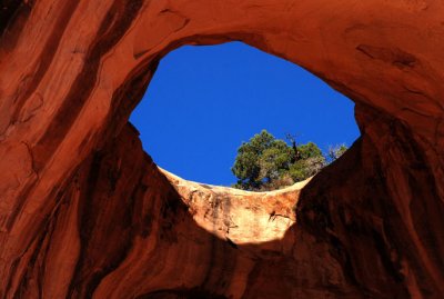 Window to the sky |
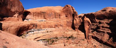
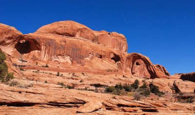 Corona Arch domes from below |
 Corona Arch as seen from below Bow Tie Arch (people give scale) |
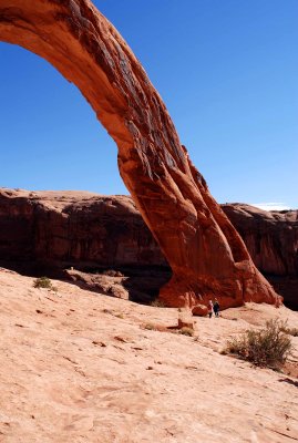 People are dwarfed by nature's handiwork |
 Back view of Corona Arch |
 View to north of Bootlegger Canyon |
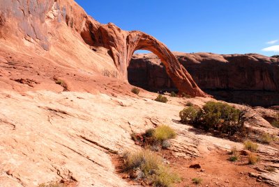
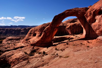
 Corona Arch |
| comment | share |