


|
|
|
|
|
|
| Dave Beedon | profile | all galleries >> Places >> Utah >> Dead Horse Point State Park >> Driving to Dead Horse Point State Park | tree view | thumbnails | slideshow |
|
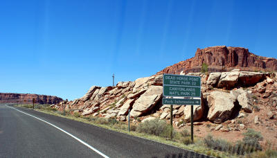 22 miles to Dead Horse Point State Park |
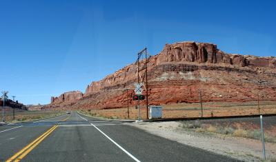 Grade crossing |
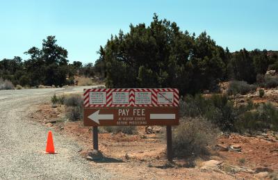
 Warning: bring money |
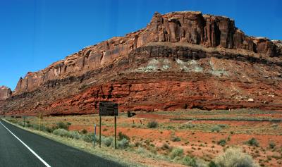
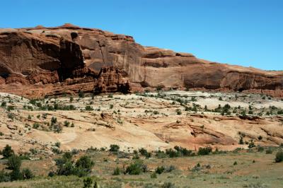
 Canyon terrain |
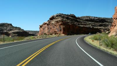
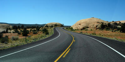
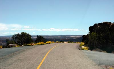
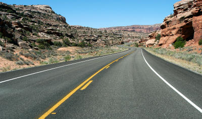 A long and winding road |
 Between switchbacks |
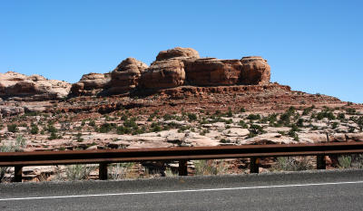
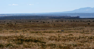
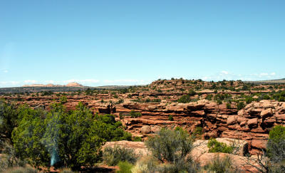
 Merrimac Butte |
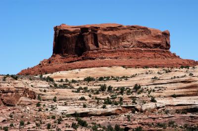
 Monitor Butte |
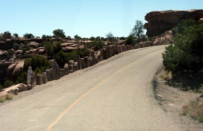
 S curve between the rocks |
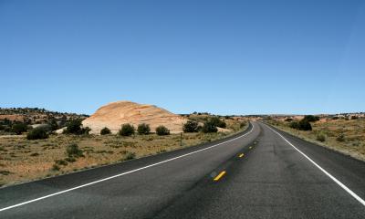 A sandstone blob up ahead |
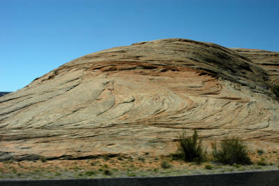 Sandstone blob |
 What---more sandstone? |
 "Come explore me" |
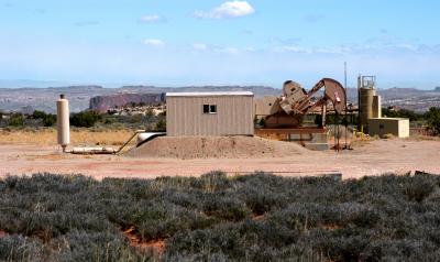
 Oil well |
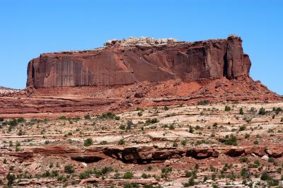
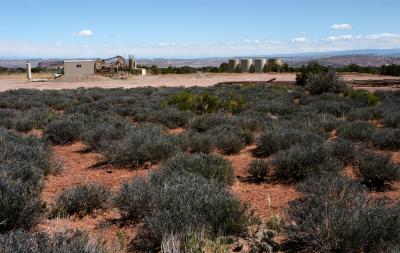
 Monitor Butte hiding behind the building |
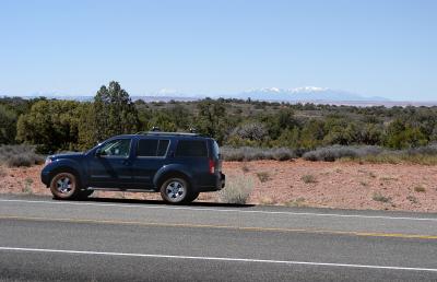 The blue beast awaits my return from photographing the oil well |
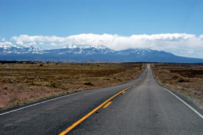
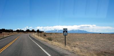 La Sal Mountains in the distance |
 First hint of the beauty ahead |
 La Sal Mountains |
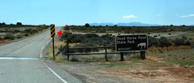 Entrance to the park |
 But where is the Visitors' Center? |
 Toto, we're not in Kansas any more! |
 The Neck |
 Head of a canyon at The Neck |
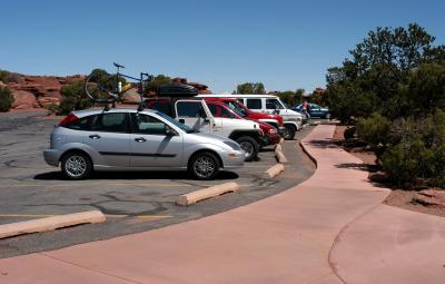
 Spacious parking lot at end of the road |
 Follow the sidewalk to the right for a view that will knock your socks off |
| comment | share |
| 1moremile | 17-Jun-2006 00:46 | |