


|
|
|
|
|
|
| |
| 3 Jul 2004 | Dave Beedon |
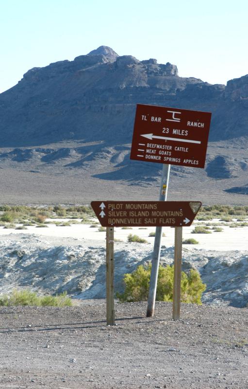
To the right: the asphalt road that leads to the Bonneville Speedway. To the left:
everything else (my route). The Silver Island Scenic Byway more or less starts here.
| Full EXIF Info | |
| Date/Time | 03-Jul-2004 08:23:33 |
| Make | Nikon |
| Model | D100 |
| Flash Used | No |
| Focal Length | 105 mm |
| Exposure Time | 1/80 sec |
| Aperture | f/14 |
| ISO Equivalent | |
| Exposure Bias | 0.67 |
| White Balance | (9) |
| Metering Mode | matrix (5) |
| JPEG Quality | (6) |
| Exposure Program | manual (1) |
| Focus Distance | |
All images are copyright 1966 - 2023 by Dave Beedon (davebeedon AT comcast DOT net).
| Dave Beedon | 03-Sep-2005 01:15 | |
| kimberly borchardt | 02-Sep-2005 23:06 | |