


|
|
|
|
|
|
| Herb | profile | all galleries >> Eastern Sierra 2007 >> Mount Starr Hike | tree view | thumbnails | slideshow |
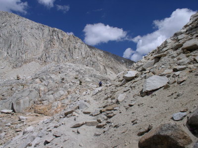
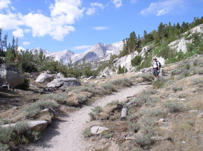 Dick leads the way. |
 P7300004.JPG |
 P7300006.JPG |
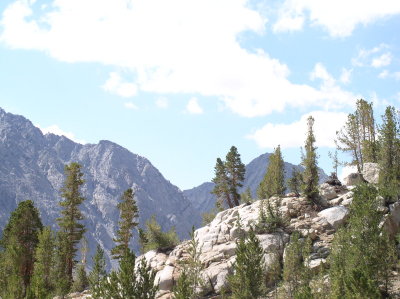
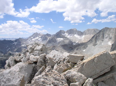
 Mt Starr ridge. |
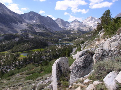
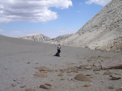
 Heading to Mono Pass |
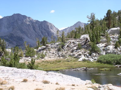
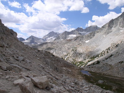 Looking back. |
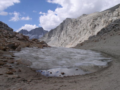 Snow near the pass. |
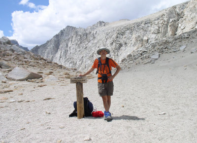
 Mono Pass |
 Sign reads "Above 10,000 feet" |
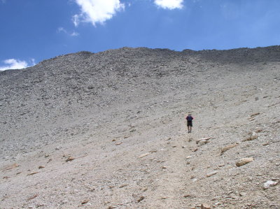 Dick leads the final climb to the top. |
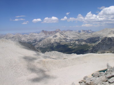
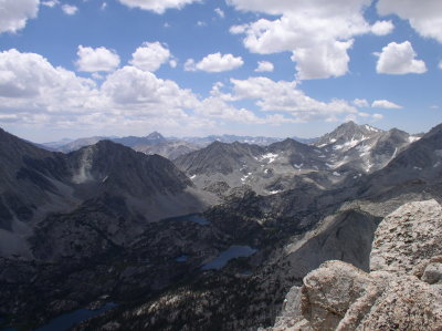
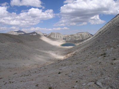 Looking down from the top. |
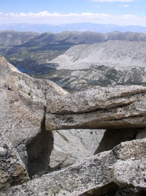 Precarious rock bridge. |
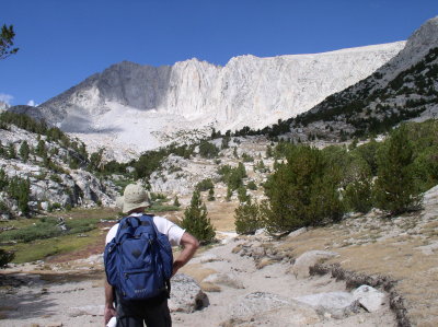
 Nearing Mt Starr Peak. |
 P7300025.JPG |
 P7300027.JPG |
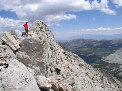
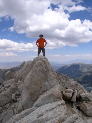 On Mt Starr peak. |
 P7300030.JPG |
 Taking it easy on the way back. |
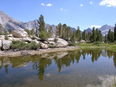 Good time for pictures. |
 P7300037.JPG |
 P7300039.JPG |
| comment | share |