


|
|
|
|
|
|
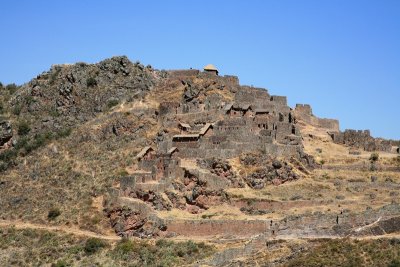
| lcurran | profile | all galleries >> Peru 2010 >> The Andes >> The Sacred Valley of the Incas >> Inca Pisac | tree view | thumbnails | slideshow |
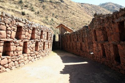
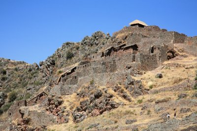
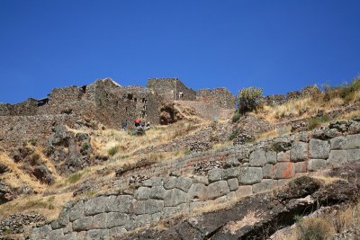
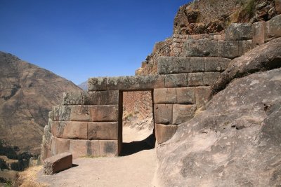
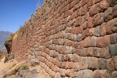
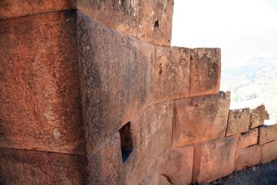
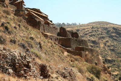
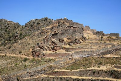
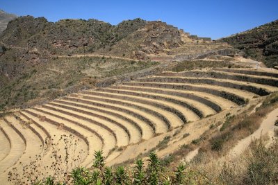 Agricultural Terraces |
 XIMG_0478.jpg |
 XIMG_0484.jpg |
 XIMG_0486.jpg |
 XIMG_0488.jpg |
 XIMG_0489.jpg |
 XIMG_0491.jpg |
 XIMG_0496.jpg |
 XIMG_0498.jpg |
 XIMG_0503.jpg |
 XIMG_0504.jpg |
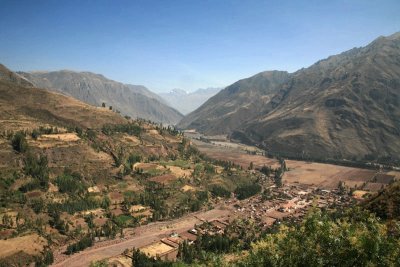
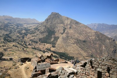
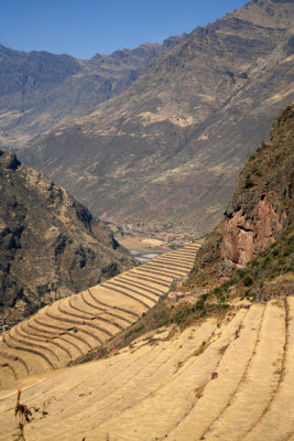
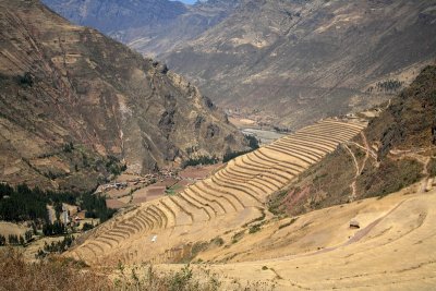
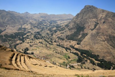 View of the Valley from Inca Pisac |
 XIMG_0514.jpg |
 XIMG_0521.jpg |
 XIMG_0524.jpg |
 XIMG_0526.jpg |
 XIMG_0530.jpg |
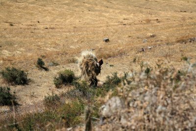 Man Carrying Grass |
 XIMG_0543.jpg |
 XIMG_0544.jpg |
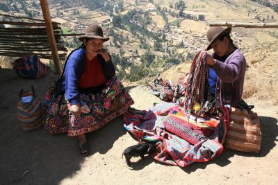
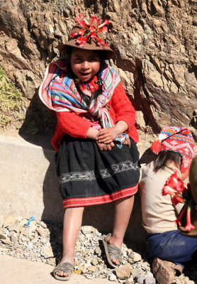
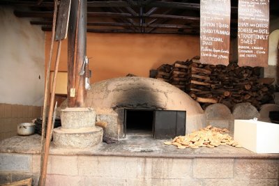 Roadside Empanada Stand |
 XIMG_0478.jpg |
| comment | share |