


|
|
|
|
|
|
| Paul Dudley | profile | all galleries >> 29 Australian trips >> 2004 Outback Trip (11 galleries) >> The Queensland Leg (26 pictures) | tree view | thumbnails | slideshow | map |

|
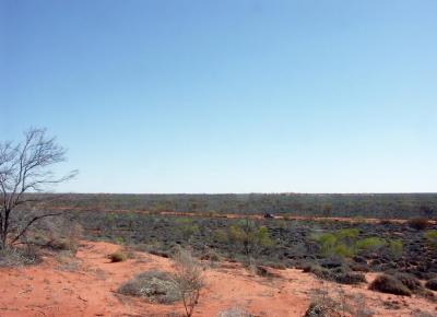
Gas Field Traffic |
 From a sand dune |
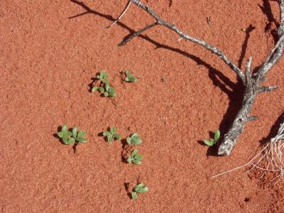 Small life on a sand dune |
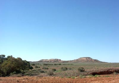 Grey Range |
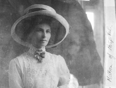
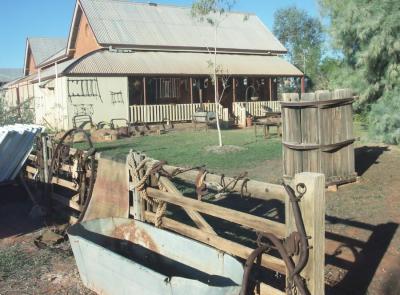 Old Hospital, Thargomindah |
 Displayed at Thargomindah |
 Not Lake Bindegolly |
 Not Lake Bindegolly either |
 At Lake Bindegolly National Park |
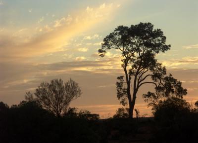
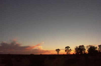 Queensland Sunset |
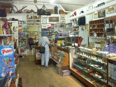 Eulo: A better-than-usual general store |
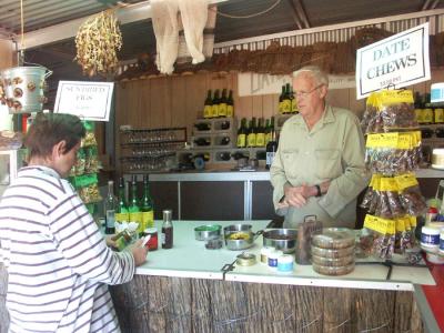 Everything made from dates |
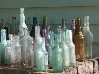 Bottle collection |
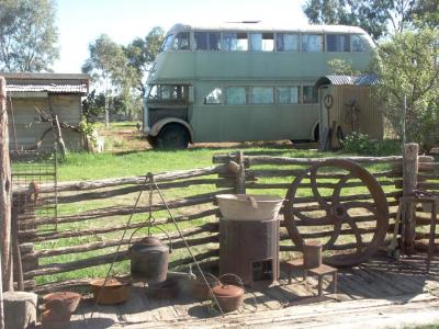 An old Sydney bus 900 Km from Sydney |
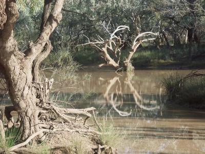 Local swimming hole |
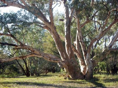 Eulo's best gum tree |
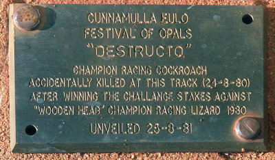 Cockroach Memorial |
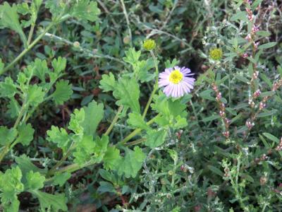
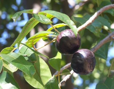 Burdekin Plum, I'm told |
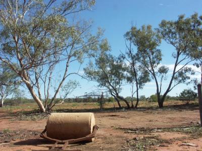 Ruins of Caiwarro Station |
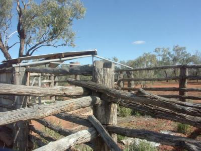 Old cowbails, Caiwarro |
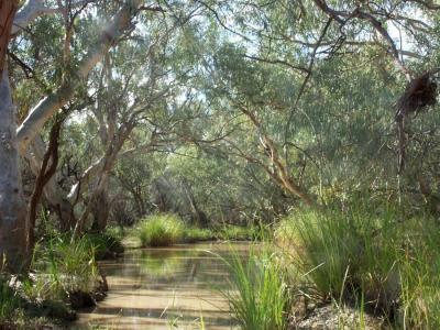 Paroo River, Caiwarro |
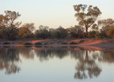
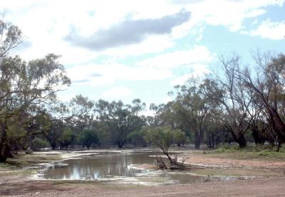
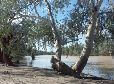 Corni Paroo Waterhole |
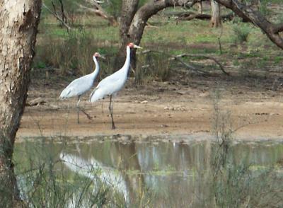 Brolgas |
 Floodway |
 Beside the road |
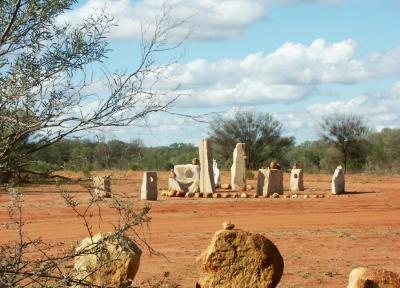 Standing Stones? |
| comment | share |
| john woodward | 13-Dec-2006 18:08 | |