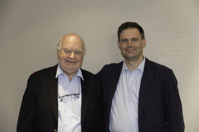
:: Trip to Cambridge, England ::
On the left is: John Lennox is Emeritus Fellow in Mathematics and the Philosophy of Science at Green Templeton College, Oxford. Widely sought after internationally as a Bible teacher, he is author of various books including Has Science Buried God? and has debated leading atheists including Richard Dawkins and Christopher Hitchens.
On the right is: Dr. Peter Williams, who lectures in Hebrew at Cambridge University and was formerly Senior Lecturer in New Testament at the University of Aberdeen. He is Chair of the International Greek New Testament Project and serves on the ESV Translation Committee and is currently writing a book on the reliability of the Gospels.
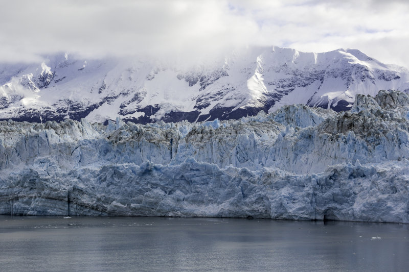
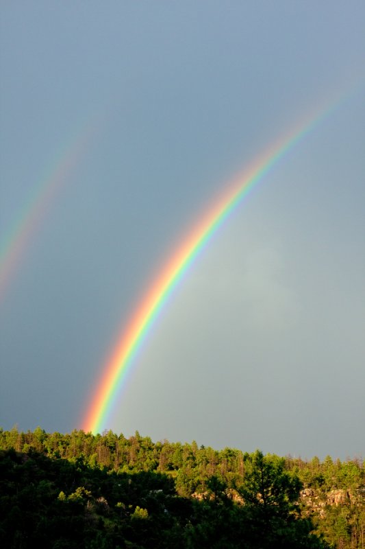
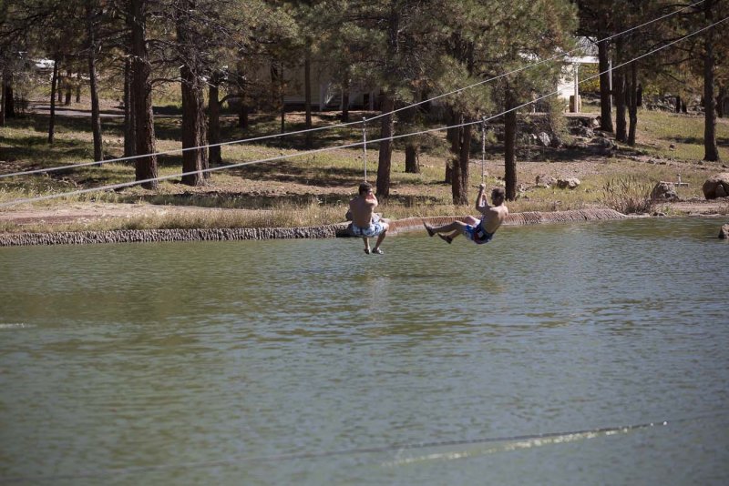
:: Alaska August 2006 ::
These pictures are my trip to Alaska at the end of August 2006. The Alaskan coast can see 300 days of rain a year. Upon arrival Alaska had seen 3 weeks straight of rain in the Anchorage area that washed out roads and railroad track. Alaska can be depressing and extremely beautiful all the the same time. I will hope to go back there again. You can not get to the western part of the state by car. Only by boat, plane or mush it (dog sled). Some part are very much like the lower 48 others are not even close. I traveled to five parts of Alaska this trip, Seward, Homer, Girdwood, Mount McKinley and Denali. Mt. McKinley is in the southern half of the National Park and the vistor center is in the North and the tundra. Enjoy the pictures and let me know what you think. Kit
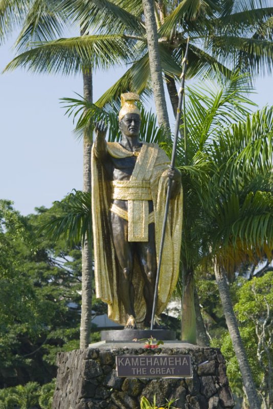
:: The Big Island - Hawaii August 2007 ::
This is my August trip to the Big Island. I started in Hilo and stayed at the Dolphin Bay Hotel. The owner John, is an expert on photographing lava. I got his advice on what to take pictures of and where I could find hot flowing lava. He advised, given the direction the lava was flowing, the only way to see lava was by helicopter. It had been flowing to the ocean in June and you could walk up to it. While I was in Hawaii the lava flowed east away from the ocean. East from Pu'u O'o (The active volcanic crater) and into National Forest Land. The lava burns the forest as it cools and created interesting sights.
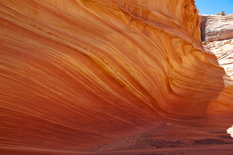
:: The Wave Galleries ::
My first hike to the Wave on the Utah Arizona border. We hiked the wave May 7th 2010, Marge's birthday. The Wave is a special place and requires BLM permits to hike to the Wave. I also have pictures going in and some from the surrounding area. Also, special to me, are a collections of pictures taken of California Condors, who roost at the Navajo Bridge on Highway 89A. The bridge crosses 400 feet above the Colorado River.
:: Turkey and St. Paul January 2011 ::
My trip to Turkey to visit the some of the places St. Paul travel to in Turkey, Dec 27th 2010 to Jan 9th 2011.
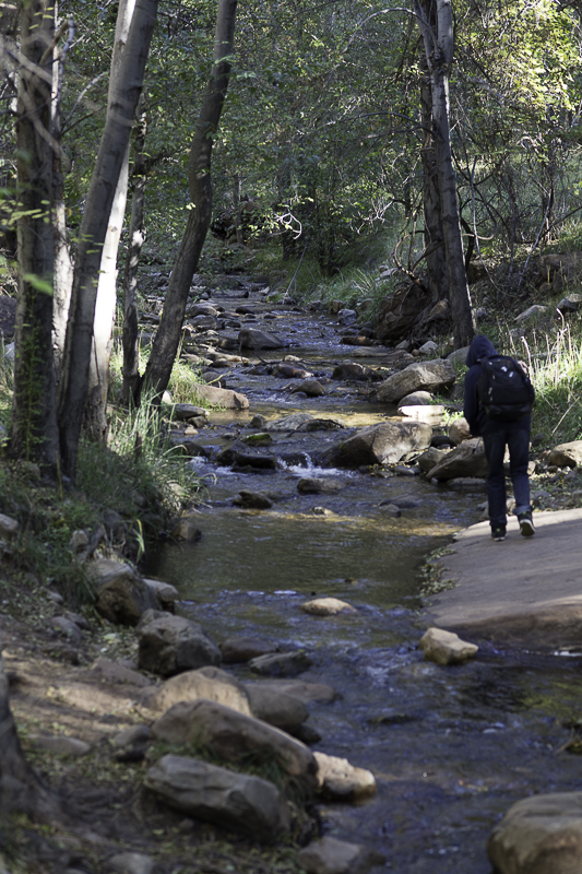
:: Aravaipa Canyon Wilderness ::
The first picture is Sandy Askland who died May 21, ten days after his picture was taken by me.
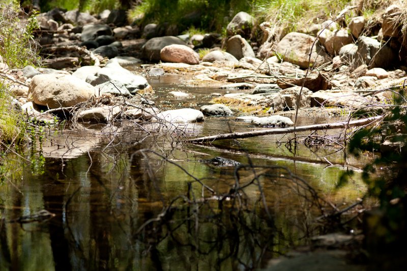
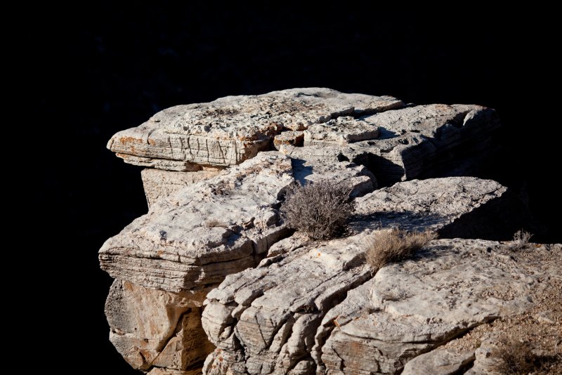
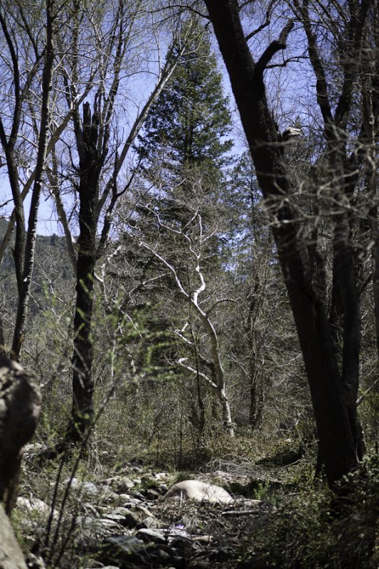
Aravaipa Canyon Wilderness is a 19,410-acre area about 120 miles southeast of Phoenix, Arizona. The wilderness includes the 11-mile long Aravaipa Canyon and Aravaipa Creek plus the surrounding tablelands and nine side canyons. Within the colorful 1,000-foot canyon walls, outstanding scenery, wildlife, and rich history are all protected. Seven species of native desert fish, desert bighorn sheep, and over 200 species of birds live among shady cottonwoods along the perennial waters of Aravaipa Creek.
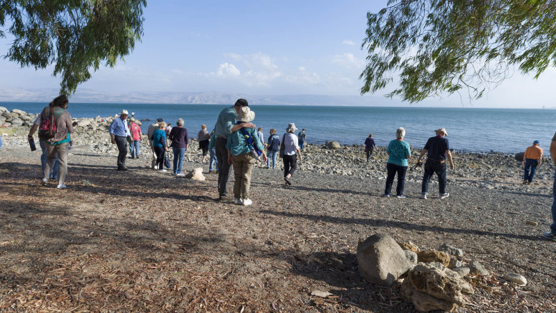
:: Trip to Israel Nov 2016 ::
My Second Trip to Israel Nov 2016
:: My Sisters and Brother In Law ::
These are two of my sisters and my brother in law who joined me at Rocky Point. The trip started at the 20th of October, my birthday, and lasted 7 days. Lots of time to do nothing. The Mayan has good food and a clean building and grounds. It's a nice place to relax and enjoy the time. We did!
:: Rocky Point October 2008 ::
Lynne, Mom and Renee came on this trip in early October. The weather was the last hot weather of the year and was around 100 Fahrenheit until the last full day of the trip. On Saturday the wind picked up and temperatures drop some. Renee had her espresso machine going and life was great.
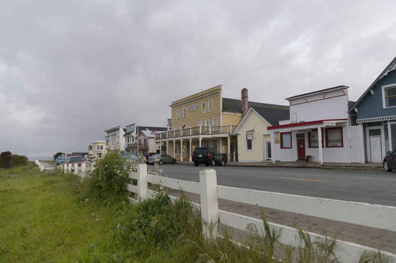
:: The California Coast ::
My drive along the California Coast from Humboldt State Park just above Fort Bragg to San Simeon and Hearst Castle. I did spend my first night at the Mendocino Hotel;it has not changed since the early 1970's when I first paid a visit to this landmark hotel. I cut inland along the Navarro River on highway 128 to Highway 101 and the south. I picked up Highway 1 again at Pacifica just below San Francisco. I stayed the night in Big Sur. I did get to walk at Point Lobos State Park, whose beaches were made famous by Edward Weston and Ansel Adams. Some pictures of the Pigeon Point Lighthouse and a shot taken while crossing the Golden Gate Bridge.
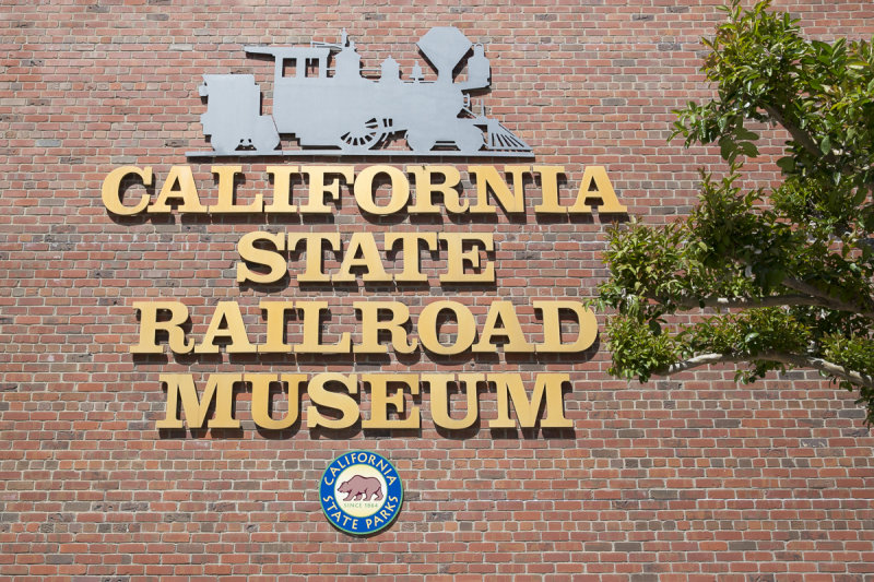
:: Sacramento Railroad Museum ::
My friend Scot and I spent a day in the Sacramento Railroad Museum. Scot lives in Northern California and is a very old friend. These are the pictures from our visit. Scot is in the wheelchair in some of these pictures. This was my first stop on my Sabbatical trip through Northern and Central California. This is the last work Sabbatical I will take from Schwab.
:: Sunrise Arizona ::
These photos were taken around Sunrise Arizona. This area is in the North East corner of the White Mountain Apache Indian Nation. The altitude runs around 9,000 feet. These pictures were taken on the July 7th to July 9th weekend. It rained the first two days leaving the air fresh and was some of the cleanest crystalline air I have seen in years. The light and clouds were special and the company great. The camping trip was organized by Jill and enjoyed by all. The last seven pictures were taken on the Reservation Indian Road 48 on the way home Sunday. The last three picture are a Vulture that I was able to get close to in flight. The horse picture was out of the old west. Open pasture and free ranging horses, the white horse whinnying at me.
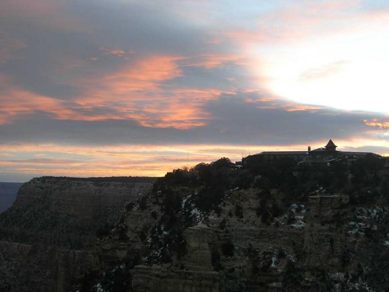
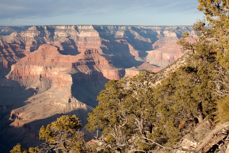
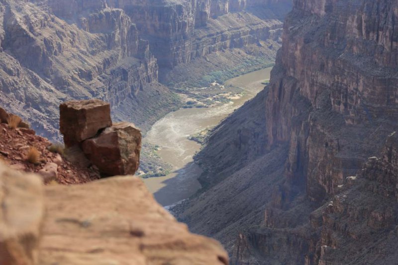
:: The Grand Canyon November 2004 ::
These are the Grand Canyon pictures of my hike down South Kaibab trail, my stay at Phantom Ranch and the hike out on Bright Angel trail in 24 degree weather, about -4 Celsius. The trees at the bottom of the canyon were just beginning to turn colors. The South Kaibab trail is 3 miles shorter at 7 miles and 300 feet higher in elevation, about 4800 feet than Bright Angel. But, the views on the Kaibab trail beat Bright Angel by far. On Kaibab you hike out onto the nose of a peninsula before descending, with Bright Angel you decent at the back of a very deep raven. Go and see the views for yourself.
:: Mount Graham ::
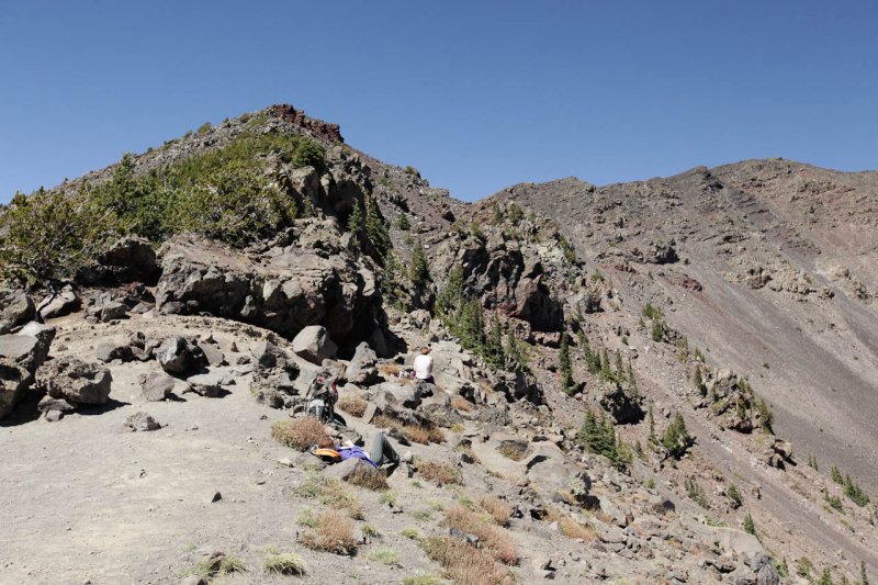
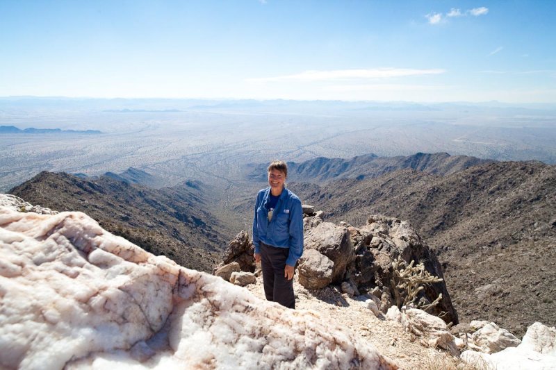
Mount Graham is in the South Eastern part of Arizona. It is 10,720 feet high. The campgrounds on the mountain are mostly around 9,000 feet. Mount Graham is part of a ridge line call the Pinaleno Mountains. Mount Graham contains more life zones than any other single mountain in North America, including the southern most spruce-fir forest on the continent. While parts of the Pinaleno mountains have been logged since the turn of the century, the high elevation, old-growth spruce-fir forest survived virtually intact until 1989. This zone houses numerous endemic plant and animal species, and many of the creatures discovered on Mount Graham have never been described or named. Mount Graham is home to the Red Squirrel, the Mexican Spotted Owl, the Peregrine Falcon, and the Apache Trout. The vistas seen from the high road on the Pinaleno ridge line is stunning. These pictures attempt to capture some of what can be seen. The mountain road that runs along the ridgeline is at 9,000 and the valley floors below are at 3,000 feet. These pictures were taken on the July 4th Weekend, 2006.
Mt. Graham is also home to the Vatican�s powerful binocular telescope. It�s one of the most powerful and newest telescopes in the world.
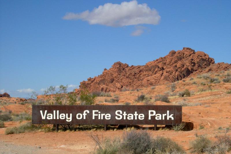
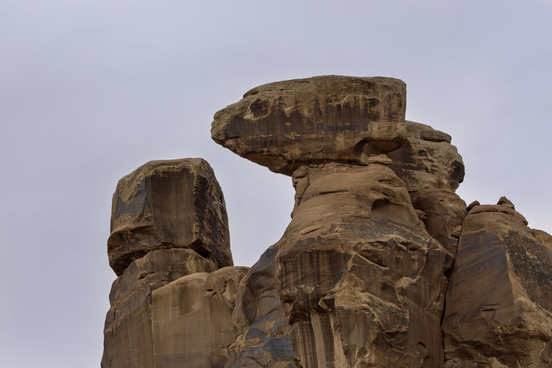
:: Valley Of Fire ::
Valley Of Fire State Park, Nevada. This place has some of the most colorful rocks and sandstone I have seen. Several movies have been filmed here including "Star Trek" episodes and movies. It is in the Lake Mead area and East of Las Vegas.
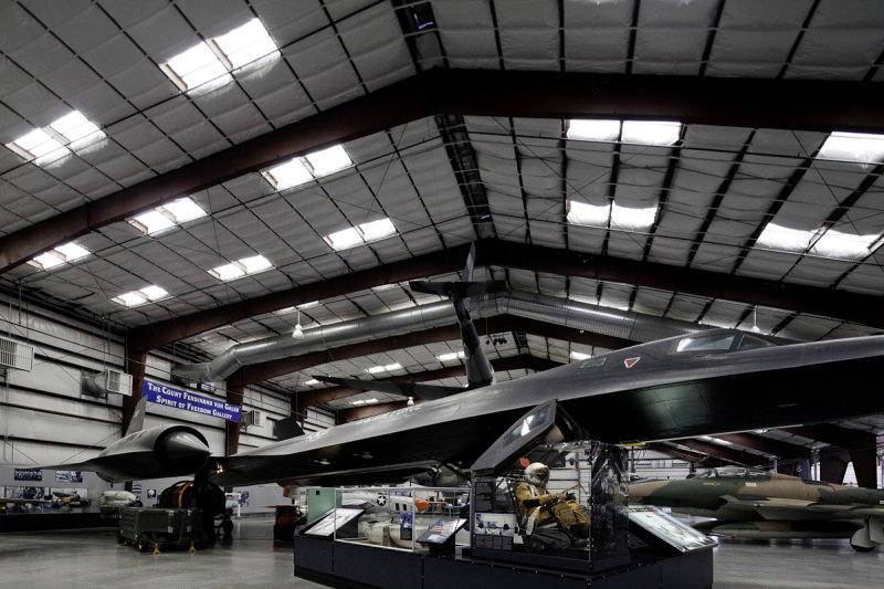
:: The Pima Air Museum ::
I will be making several trips to the Pima Air Museum this next year. This series starts a collection of pictures taken of the really good collection of aircraft housed in the Museum.
:: Marshall Lake ::
This are pictures from Nancy Spence's camping trip to Marshall Lake. There is water in all three of the lakes in the area with Upper Mary Lake at near capacity. Mormon Lake for once has water and looks beautiful. Marshall Lake if really a duck pond with a great view of the San Francisco Peak just behind Flagstaff. It rain for over six hours our first night and it make for some exceptional scenery. The panorama files are large so keep this in mind when you download. I have also added pictures from June 2010.
:: Young Arizona ::
This gallery has pictures from Young, Arizona. You drive highway 288 to Young. Several of the photos were taken from McFadden Peak 20 miles south of Young. I am happy to report that the road to Aztec Peak is now open and you can drive to Workman Falls. One of my favorite places in the state of Arizona.
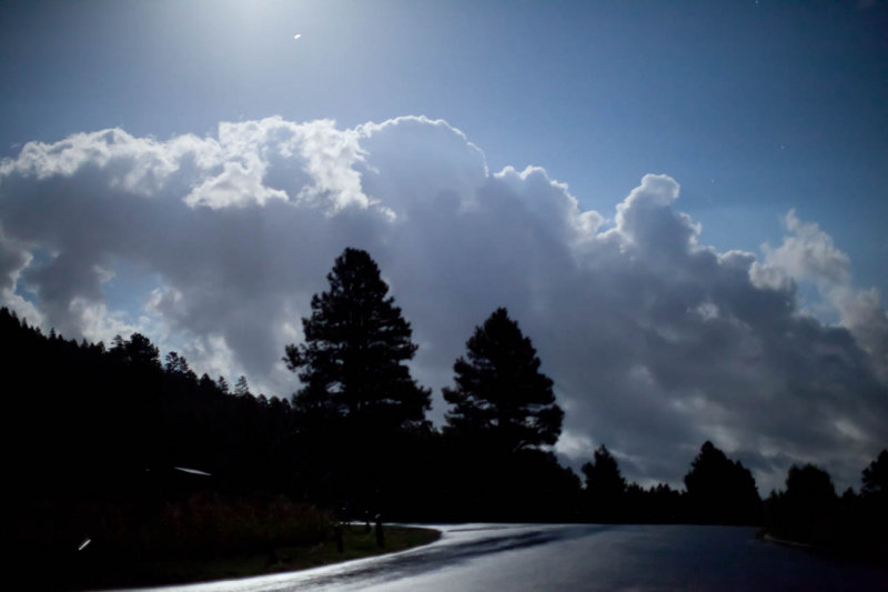
:: Marshall Gulch, Mt. Lemon Aug 16th ::
This is a Jon Radtke lead hike on the top of Mt. Lemon. Marshall Gulch is the mail trail. It is a mile from Summerhaven, the Mt. Lemon mountain community. It was rainy and everything was very green. It was a lovely hike.
:: Death Valley 2008 ::
This is my trip to Death Valley with Dick and Marge at the beginning of 2008.
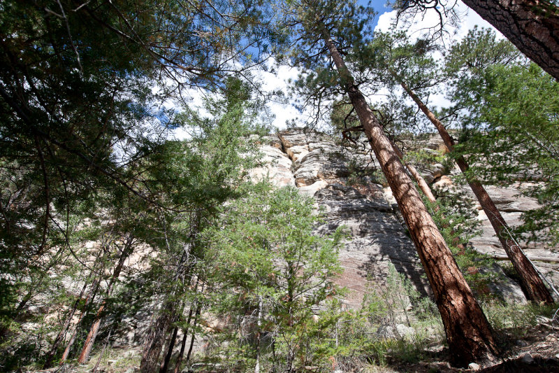
:: Oak Creek West Fork July 2010 ::
I just took my camera along just in case. I came away with a couple of very nice photos. I wanted to share.
:: Hike on Mount Humpreys ::
Neal Fortenberry and my hike on Mount Humpreys
:: Tonto Bridge State Park ::
This is Tonto Bridge State Park a few miles north from Payson, Arizona. I went there with Daniel and Micheal from work. I never get lost, but I got lost going over the Daniels house. I has been at least 30 years since I got turned around like that. It happens.
:: Mary Lake by the Full Moon ::
Mary Lake by the Full Moon taken Sept 23, 2010
:: Upper Clear Creek ::
I hiked this for the first time on October 2010 with Chuckwalla otherwise called Charles LeFerve.
:: Oak Creek, Oct 2010 ::
Oak Creek, Oct 2010 with the Crosswork People
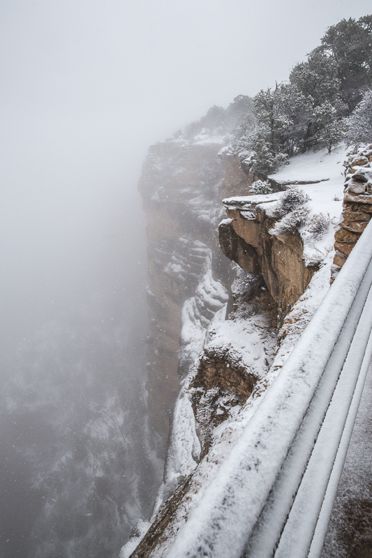
:: The Grand Canyon in Sun and Snow ::
The Grand Canyon in Snow February 18-19th 2011. My friend Neal and myself drove to the Grand Canyon on Feb 18th. It snowed a little that night but we were able to drive to Hermits Rest in the morning. At 10:30 AM it started coming down and roads started getting closed. I got a picture of Joelle who works at Hermits Rest for the Park Service. She served us Hot Chocolate in snowy weather. There were only four people at Hermits Rest when the road was closed. We had to leave sooner that we wanted as Neal and I were the last to leave Hermits Rest. The drive back was very pretty along the road and impossible to see to the canyon floor. It was a novel day for us two people from Phoenix.
:: Quartz Peak February 2011 ::
I was joined by several friend to hike up Quartz Peak in the Estrella Mountains South West of Phoenix. It has the best view of Metro Phoenix. The mountain is 4052 feet high. The top of the peak has very large Quartz Rock. The sight of the Valley of the Sun is amazing.
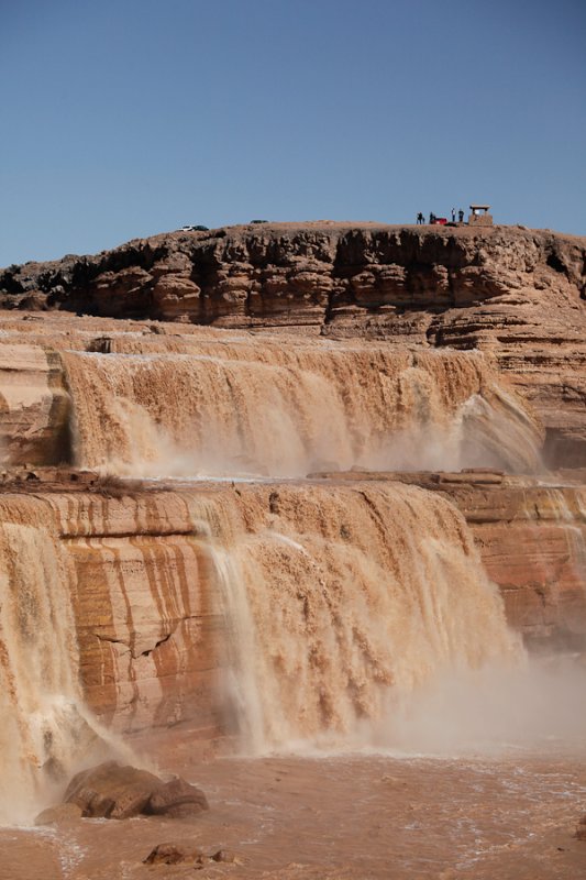
:: The Grand Falls on the Navajo ::
These pictures were taken at Clints Well, Mormon Lake and The Grand Falls on the Navajo Reservation.
:: Reynolds Creek 2011 ::
A really peaceful nice weekend with 24 people and a great Saturday Night dinner and Sunday morning breakfast plus a wonderful hike on Saturday. I spent my time on Saturday photographing Reynolds Creek and Aztec Peak.
:: Country Side and Urban shots ::
Country Side and Urban shots taken in the late fall and winter of 2011.
:: Some Snow in Arizona ::
Some Snow in Arizona January 16, 2012.
:: The Grand Canyon 2012 ::
The Grand Canyon 2012 with Neal and Myself traveling for a couple of days of photography.
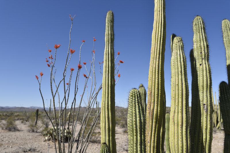
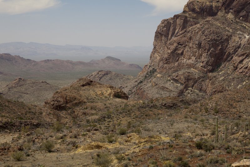
:: Organ Pipe ::
Organ Pipe and the trail to Mount Ajo.
:: Reynolds Creek 2012 ::
Our trip to Reynolds Creek for 2012. The pictures were taken around the campground, on the Hell Hole trail at Workman Creek and "The Flintstones" on Aztec Peak(one of my favorite places).
:: Moon and Sun ::
The Super Moon and the Eclipse of the Sun from Phoenix.
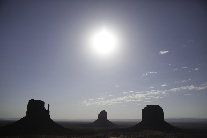
:: Monument Valley ::
Monument Valley on a Navajo Tribal land.
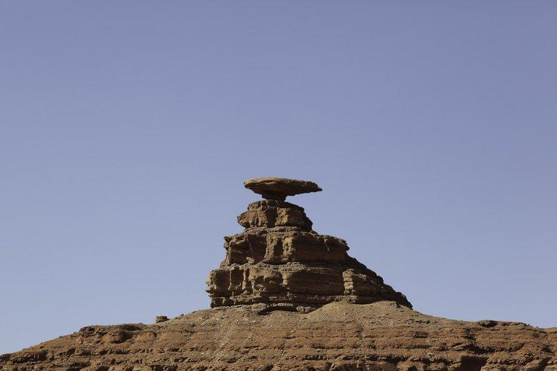
:: Valley of the Gods ::
The Valley of the Gods in southern Utah near the Arizona Border. The first shot is Mexican Hat and the nearby town is name after the rock. The Valley of the Gods is on BLM land about ten miles to the north west of Mexican Hat. I have not been there since 1986. It's a more intimate place than the nearby Monument Valley and with much fewer people.
:: Horton Creek, October 27, 2012 ::
Horton Creek, October 27, 2012. This is my second hike in Horton Creek. I hiked it about ten years ago and it was time to go back.
:: Owlhead Ranch Road ::
Most of these photographs were take at day break on Park Link Drive and Owlhead Ranch Road. It is a beautiful stretch of Sonora Desert near the Pinal Scenic Parkway.
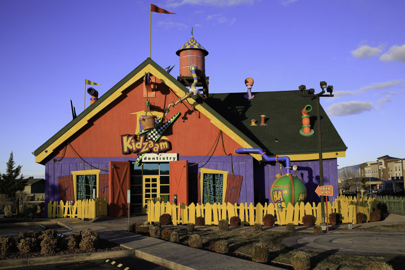
:: Kidzaam ::
Kidzaam - Prescott Valley Dental office.
:: The Grand Canyon March 2013 ::
The Grand Canyon early March 2013 with snow. We started 30 minutes after the snow stopped. We had about 6 inches of fresh power on the trail. It is easier to hike on power that it is ice.
:: A rafting trip and train ride in Chama, New Mexico ::
A rafting trip and train ride in Chama, New Mexico
:: The Mens retreat Lost Canyon 2013 ::
The Mens retreat Lost Canyon 2013, Scottsdale Bible Church
:: Annual trip to Organ Pipe ::
The is the once a year trip I take to Organ Pipe organized by Marge Sparks.
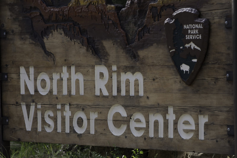
:: North Rim of the Grand Canyon ::
:: The Escalante Grand Stair Case and Torrey Utah ::
The road between Bryce National Park through Escalante to Torrey Utah is one of the prettiest drives in the United States.
:: Moab and Dinosaur Tracks ::
The Landscape Arch remains my favorite Arch in the park. It is such a delicate stone formation and very large. I viewed the Dinosaur Tracks north of the park and they were amazing.
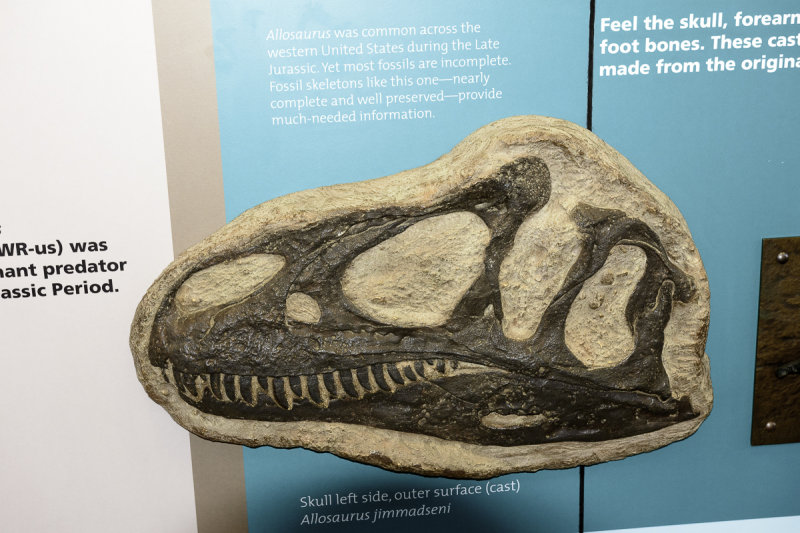
:: Dinosaur National Monument ::
There are over 500 animals buried in the fossil record you are about to see. The Monument is located on the Green River close to the Utah and Wyoming border.
:: Toroweap at the Grand Canyon ::
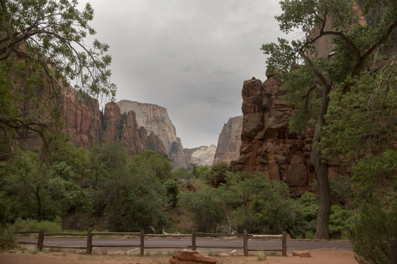
:: Zion National Park ::
The second place I visited was Zion Nation Park. It remains one of the most spectacular National Parks and one of the more crowded.
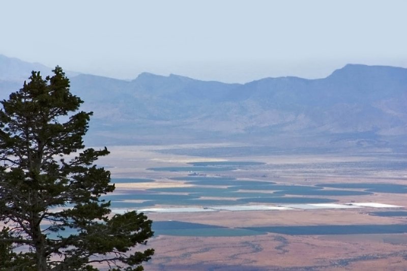
:: Lehman Caves at Great Basin Nation Park ::
Lehman Caves at Great Basin Nation Park
:: Bristlecone Pines at Wheeler Peak, Great Basin National Park ::
Bristle Cone Pines at Wheeler Peak, Great Basin National Park. Bristle Cone Pines are the most amazing living plant I can think of. Some of the trees are over 3000 years old. They are close up a very exotic and beautiful plant. They are older than I am.
Also, some shots taken of the 13,000 foot Wheeler Peak are shown in this gallery.
:: The Needles District of Custer State Park ::
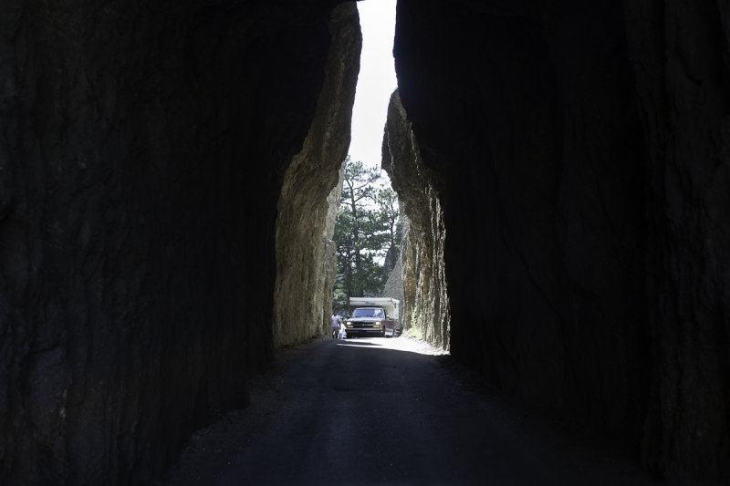
The Needles District road of Custer State Park winds through the rocky spires in the high part of the park. There are numerous one lane tunnel passages that are beautiful. The road can end up in Keystone and the home of Mount Rushmore.
The Needles Highway is a spectacular drive through pine and spruce forests, meadows surrounded by birch and aspen and rugged granite mountains.
The road's name comes from the needle-like granite formations which seem to pierce the horizon along the highway. Construction was completed in 1922. You will pass through 3 single lane Granite Tunnels on the Needles Highway.
Visitors traveling the highway pass Sylvan Lake and a unique rock formation called the Needle's Eye, so named for the opening created by wind, rain, freezing and thawing.
Another road to drive is Iron Mountain Road. It is a work of art in itself. The highway connects central Custer State Park and Mount Rushmore National Memorial. The highway passes through some of the most beautiful scenery in the Black Hills and including three tunnels that frame Mount Rushmore in the distance. The road is famous for the "Pigtail Bridges" or "Cork Screw" that allows travelers to drop or gain altitude quickly.
The highway was constructed in the 1930s under the direction of Governor Peter Norbeck, who is also known as the "Father of Custer State Park." Norbeck said of the Iron Mountain Road, "this is not meant to be a super highway, to do the scenery justice you should drive no more than 20 mph and to do it full justice you should simply get out and walk." Experience the road that engineers once said couldn't be built; you'll be happy you did.
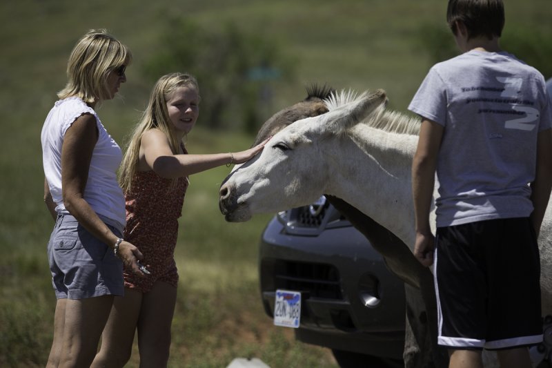
:: Animals around Custer State Park ::
Animals around Custer State Park and some from Wind Cave National Park. There was a heard of Wild Donkeys, with the heard soon to get larger by the looks of things.
:: Custer State Park ::
Custer State Park is located in the Black Hills of South Dakota. It is one of the prettiest parks of any kind I have been in. I was in the Area from July 24 to July 28. What follows are landscape shots from around the park.
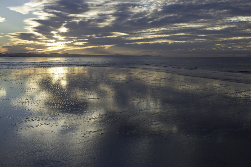
:: Sunsets and Sunrises ::
Sunsets and Sunrises The Rocky Point Mayan Place.