


|
|
|
|
|
|
| Kilkenny Photographic Society | profile | all galleries >> Galleries >> Nore Valley Walking Route | tree view | thumbnails | slideshow |
| previous page | pages 1 2 3 ALL | next page |
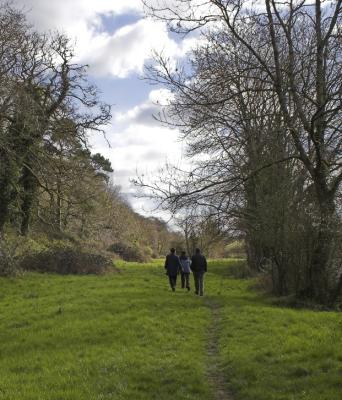 Walk.jpg |
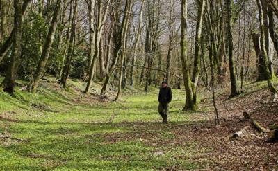 Old canal bed.jpg |
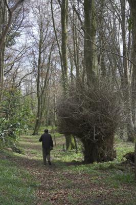 Furry glen.jpg |
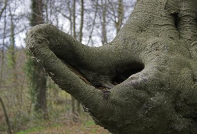 Scoop.jpg |
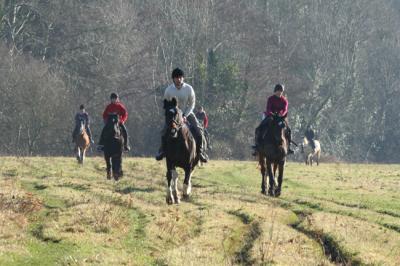 Riders by the Nore.jpg |
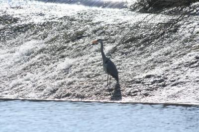 Heron at Bennetsbridge weir.jpg |
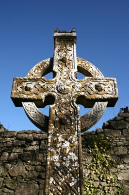 Churchyard Cross 5.jpg |
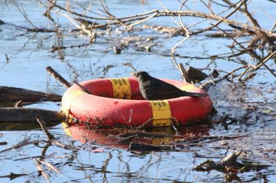 Blackbird in Lifebelt.jpg |
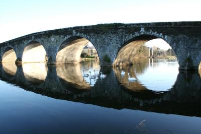 Bennetsbridge 4.jpg |
 bw1.jpg |
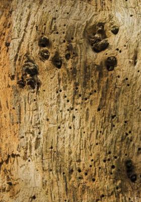 Woodworm.jpg |
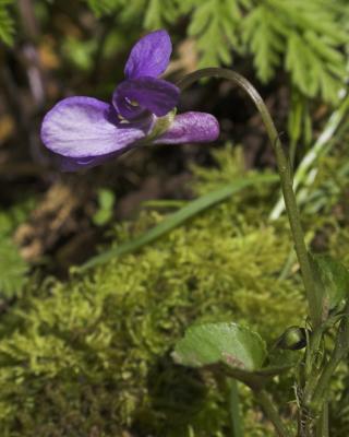 Violet.jpg |
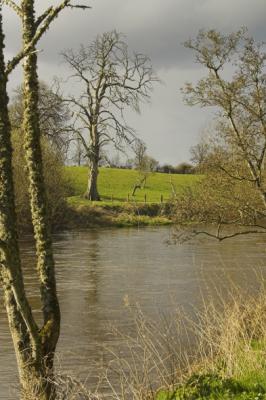
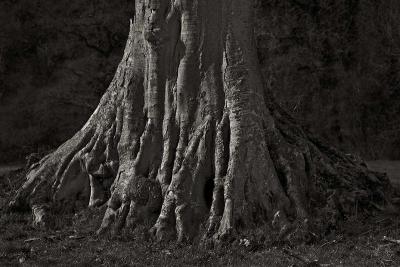
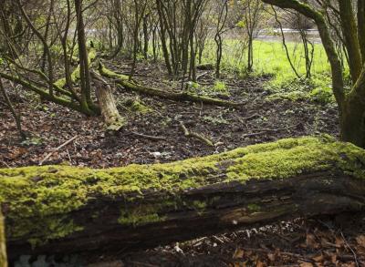 Trunk route.jpg |
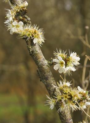 Thorn blossom.jpg |
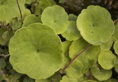 Navelwort.jpg |
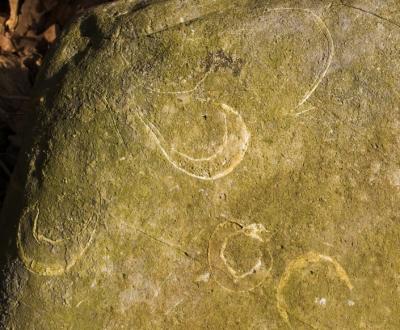
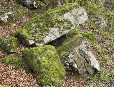 Mossy rock.jpg |
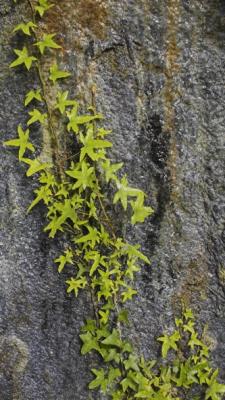 Ivy seepage.jpg |
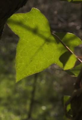 Ivy leaf.jpg |
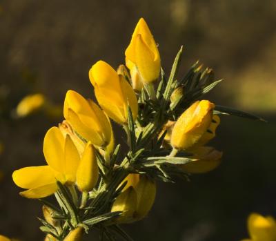 Furze.jpg |
 Fossils.jpg |
 Elm.jpg |
 Anemone.jpg |
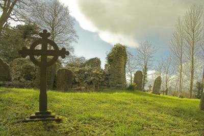 Graveyard.jpg |
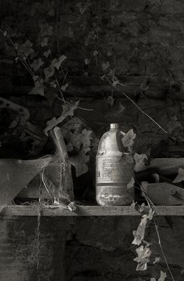 Inside An Old Farm Shed |
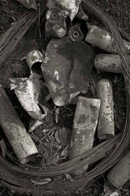 Still Life |
 Tree |
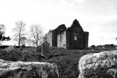
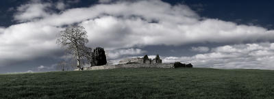 Abandoned Church On A Hill, Co. Kilkenny, Ireland |
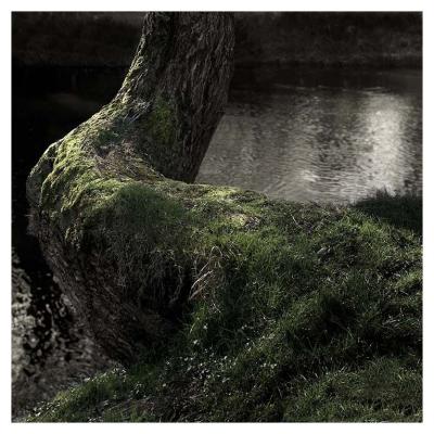 tree_growing-out.jpg |
frosty_morning.jpg |
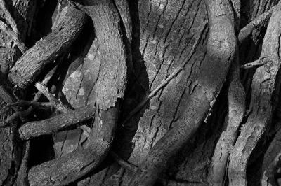 vines.jpg |
 tree.jpg |
 vine_1000h.jpg |
 kev trev and not bev.jpg |
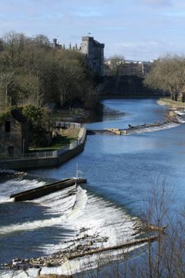
 River Nore + Kilkenny Castle1.jpg |
 River Nore + Kilkenny Castle.jpg |
| previous page | pages 1 2 3 ALL | next page |
| comment | share |
| Ml Heffernan | 19-May-2011 20:50 | |
| Guest | 09-May-2011 01:35 | |
| Guest | 31-Jan-2011 17:11 | |
| Jim Wasneuski | 24-Nov-2008 14:43 | |
| Milan Vogrin | 17-Jul-2007 17:13 | |
| Guest | 12-May-2007 07:03 | |
| Dafna Sheer | 09-Mar-2007 09:11 | |