


|
|
|
|
|
|
| Jonathan Yarak | profile | all galleries >> Travel >> Pico de Orizaba 2012 | tree view | thumbnails | slideshow |
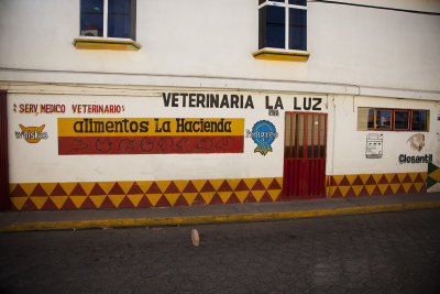 Hand painted signs on a vet shop in Tlachichuca. |
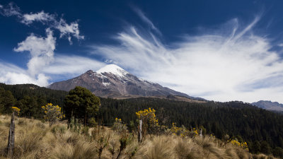
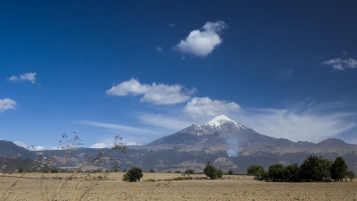
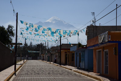 Orizaba dominating the sky over Tlachichuca. |
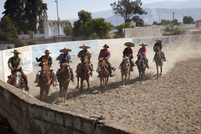
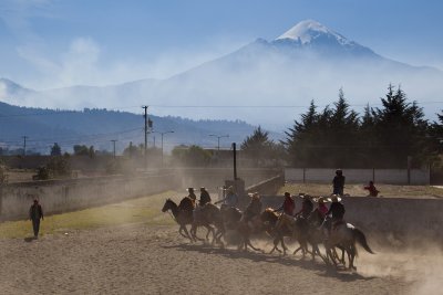 We stumbled upon some sort of women's rodeo practice (maybe?). |
 |
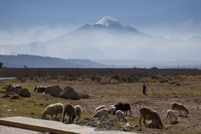 Grazing sheep and their herder, Orizaba looms above. |
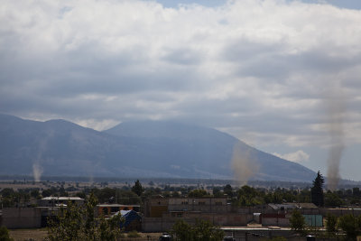 Dust devils over Tlachichuca as Orizaba and Sierra Negra are in the clouds. |
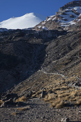
 The Piedra Grande hut, ~14000ft. |
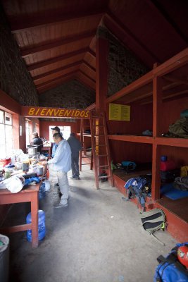 Inside the Piedra Grande hut. |
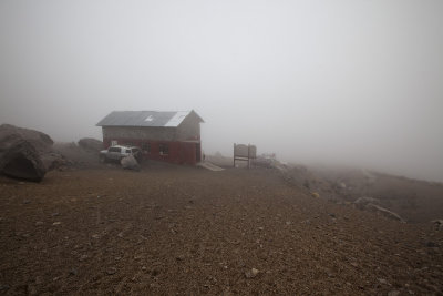 The hut in heavy cloud cover. |
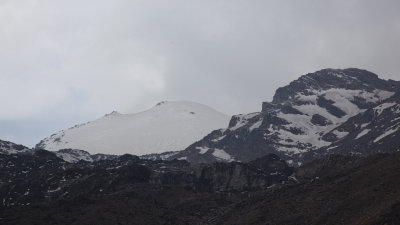 Finally the crater rim is visible! |
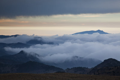
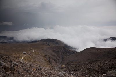 Clouds rolling in from the east. |
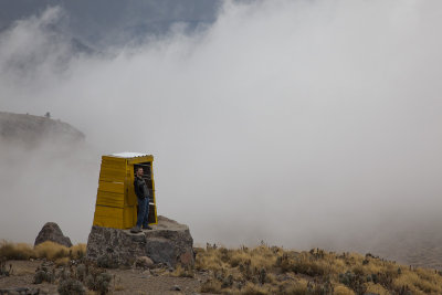 Steven doing his Aguirre impression in front of the latrine... |
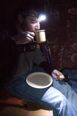 Dinner time! |
 Beautiful morning light. |
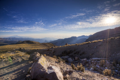
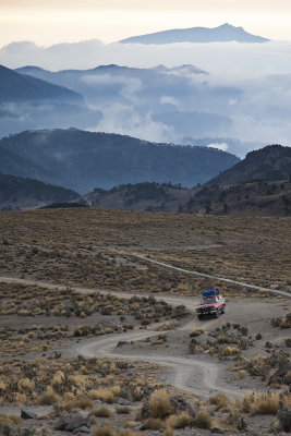
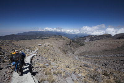
 The road ahead in the morning. |
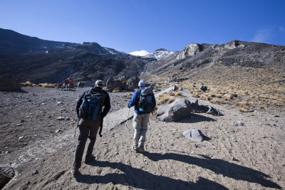 We set out for our acclimatization hike! |
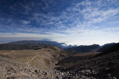 First rest, the hut below. |
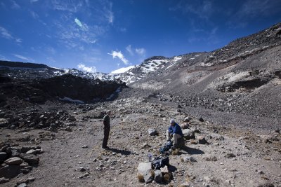 Steven and Javier taking in the surroundings. |
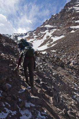 Steep slippery area on the way up. |
 Final rest for the day, ~16000 ft. |
 The beginning of the Labyrinth, it looked daunting. |
 Clouds at sunset. |
 New arrivals headed up to the hut. |
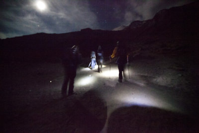 Summit day, 2am start! |
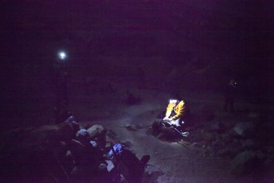
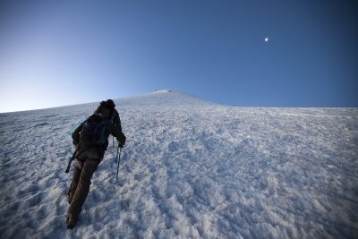
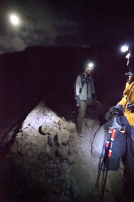 First break, relaxing in the moonlight. |
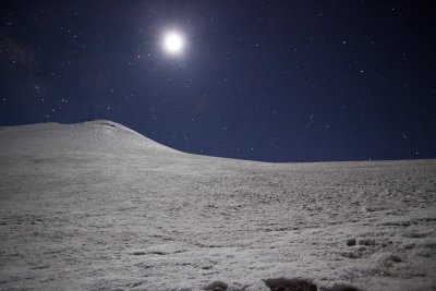
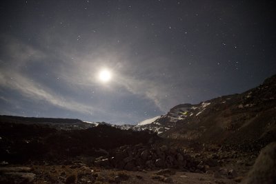 The moon lighting up the sky. It was so bright it obscured most of the stars. |
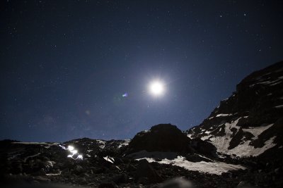
 Another short break on the way up. |
 The Labyrinth lit by the moon. |
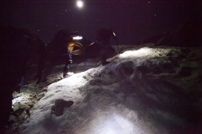 Crampons on, ice axes out, the hike up the Labyrinth commences. |
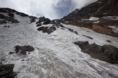
 The Jamapa Glacier. |
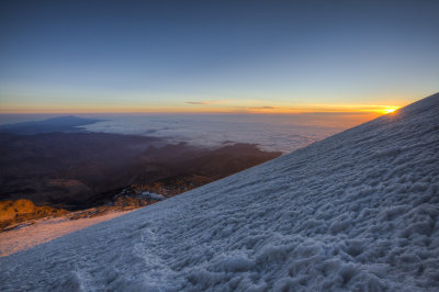
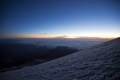 Sunrise beginning as we start out on the glacier. |
 Hiking up the glacier near sunrise. |
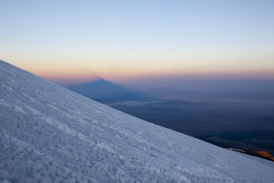
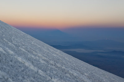 The mountain shadow is forming, here it is above the horizon still. |
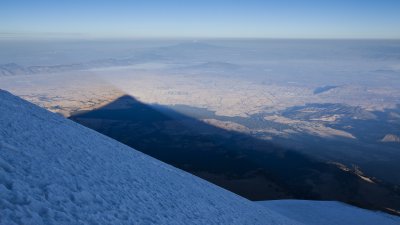
 The mountain's shadow looms above the other volcanoes. |
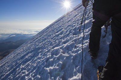
 Sunrise light hits us! |
 The mountain's shadow creeping across the valley floor. |
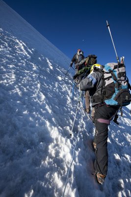
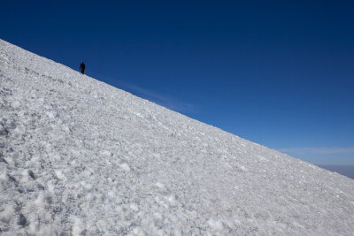
 Getting steep! |
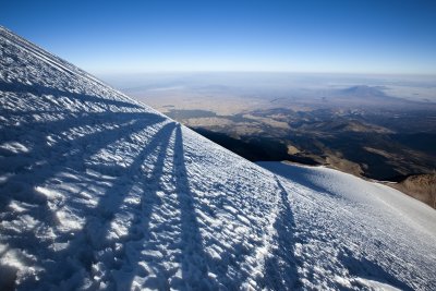 Long shadows on the glacier. |
 Starting to get rough now... |
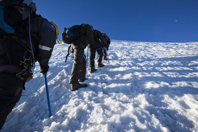
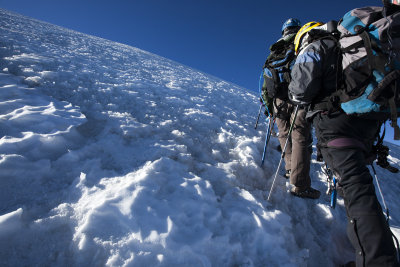
 We're roped in now, given the steep angle of ascent. |
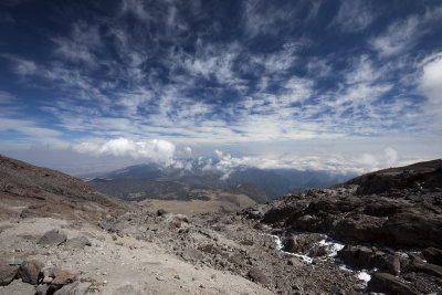
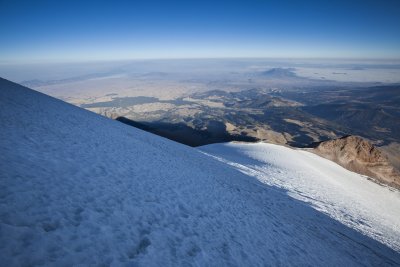 The valley below. |
 Our water was starting to freeze! |
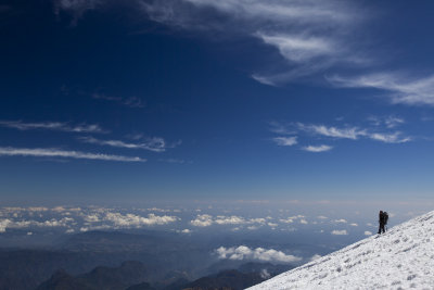
 We HAVE to be almost there, right?? |
 YES! The crater rim. |
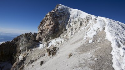 However, we still needed to climb up that and beyond to the summit. |
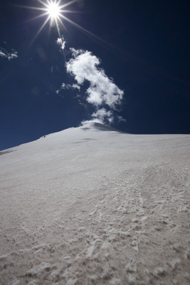
 Intense sunlight at 18000+ ft. |
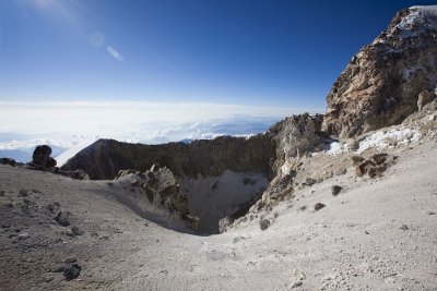
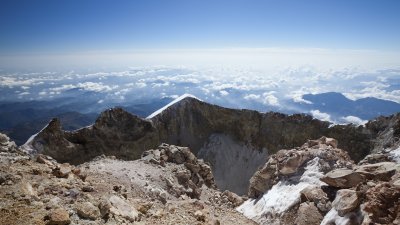
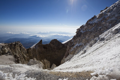 The crater was spectacular. |
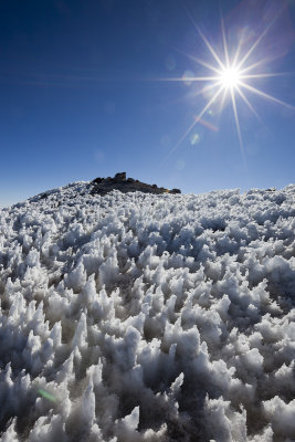 Ice formations on the west face. |
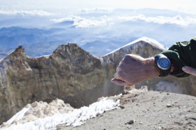 Steven's Garmin watch tells us the elevation is 18520! |
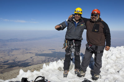 Our guides, Javier Leyva (left) and Roberto "Oso" Flores (right). |
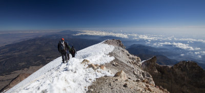
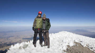 Steven and me on the summit. |
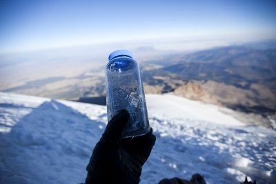
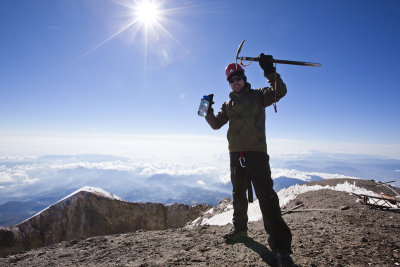 Posing with my ice axe and my iris (the company I work for) branded Nalgene bottle. |
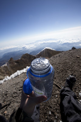 My Nalgene froze! |
 Victory. |
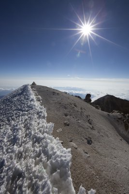
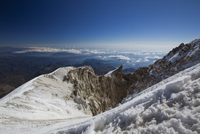
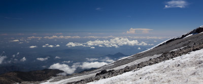
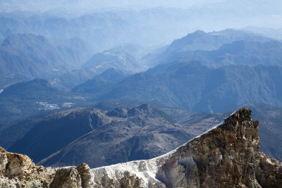 Crater rim and the mountains below. |
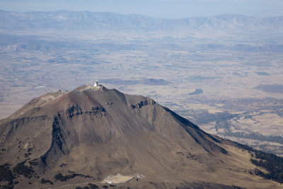 The Large Millimeter Telescope on top of Sierra Negra, ~15000ft. |
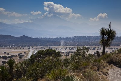
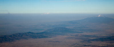 The Volcanoes of Mexico. From left to right: Popocatepetl (actively erupting), Iztaccihuatl, and Malinche. |
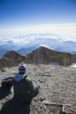
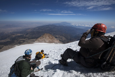
 Our climbing buddy Chris chilling at the summit. |
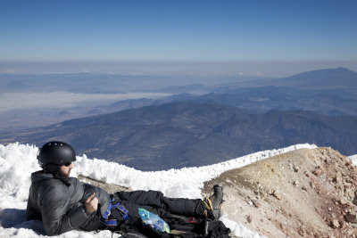
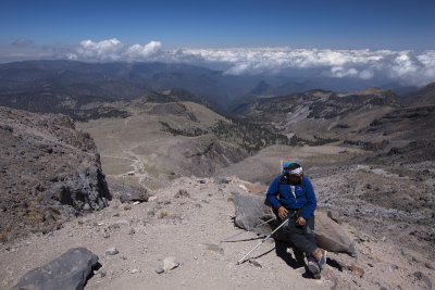
 Steven relaxing at the summit. |
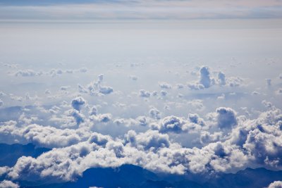 Clouds below. |
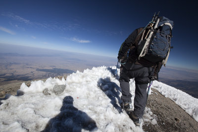 Beginning the descent. |
 One final shot of the crater from the summit. |
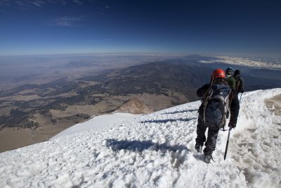
 Descending the crater rim. |
 Final shot of the crater. |
 Descending the glacier. |
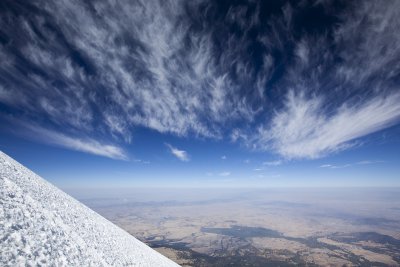 Awesome high altitude clouds above. |
 Taking a short break. |
 Javier looking tough. |
 Steven descending the glacier above, he was... delayed. |
 Oso descending off to the edge. |
 Steven descending. |
 The Jamapa glacier during the day. |
 Anvil clouds forming in the distance, toward Veracruz. |
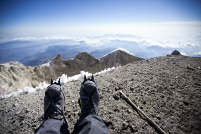
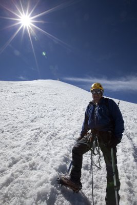
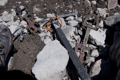 The trusty crampons and ice axe that got me to the summit! |
 Javier looking badass while taking a break on the descent. |
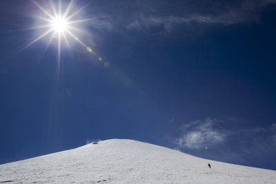
 Almost there! |
 Success!! L->R: Chris, Oso, Javier, Me, Steven. |
 What a mountain! |
 Orizaba on the drive home. |
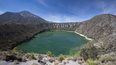 A crater lake the next day. |
 Orizaba looms. |
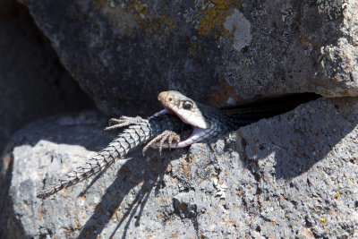 A rattlesnake eating a lizard, what a thing to see! |
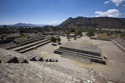 Cantona ruins. |
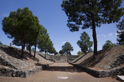 A ball court in Cantona. |
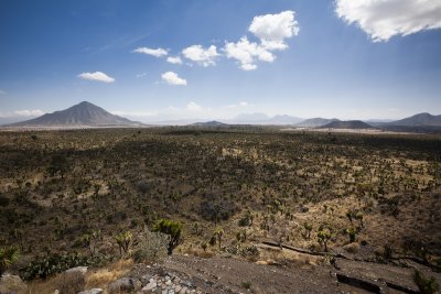 The plains of Cantona. Pizarro peak on the left. |
| comment | share |