


|
|
|
|
|
|
| Jurisam | profile | all galleries >> Neighbourhoods Of Haifa, Israel >> New Haifa (1761 CE - 1918 CE) | tree view | thumbnails | slideshow |
| previous page | pages 1 2 3 4 5 6 ALL | next page |
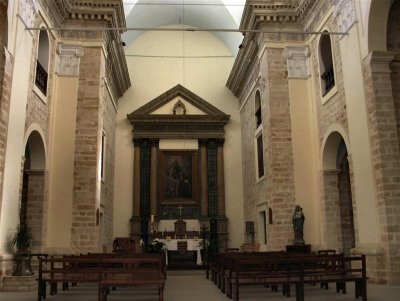 The Interior Of The Carmelite Church. Today, There are Almost No Day To Day Prayers.JPG |
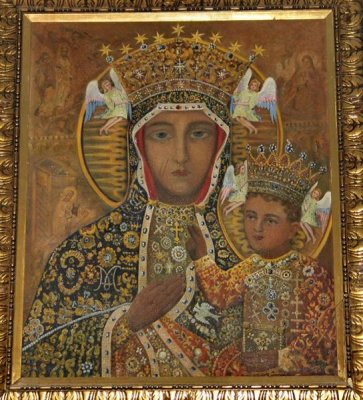 An Icon In The Main Hall Of The Carmelite Church.JPG |
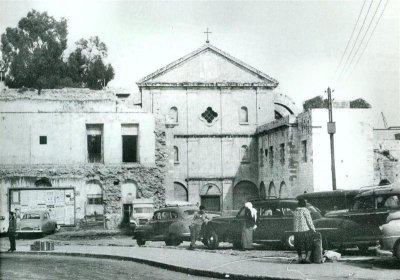 Facade Of The Carmelite Church At Old Days (n.Todays Paris Square).unknown photographer .jpg |
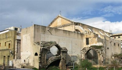 View On Eastern Side Of Elijah Carmelite Church, Next To Paris Square.JPG |
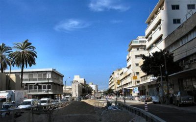 Eastern Section Of Ha'atsmaut Road,ex Kings Rd. At El Ommar Days, The Sea Was Still Here .JPG |
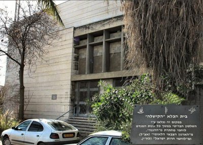 Until 1948, The Kishle Building ,A Prison,Was Located Here.(See Note in Hebrew On Plate In Photo).jpg |
 Rear Of The Sail Building, View From Haatsmaut Rd.JPG |
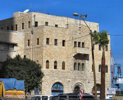
 "Saraya" Small Street, In Commemoration The Old "Saraya"Administration Building,, Once Located Nearby .JPG |
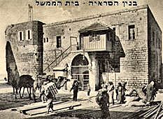 The Administration Saraya Building (unknown photographer).jpg |
 The Old Building Of Hevel Yami Le'Israel, Next To Haifa Port Eastern Gate.JPG |
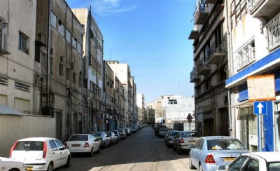 Hanamal St. Between Port And Ha'atsmaut Rd.At The Past - Occupied Mostly By Trading Firms.JPG |
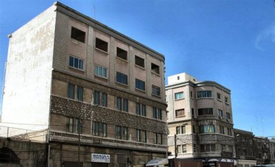 Old Buildings On The Southern Side Of Ha'atsmaut Rd.JPG |
| previous page | pages 1 2 3 4 5 6 ALL | next page |
| comment | share |
| Ashley Hockenberry | 27-Apr-2007 20:51 | |