


|
|
|
|
|
|
| Jola Dziubinska | profile | all galleries >> AMERICAN SOUTHWEST 2013 >> THE MOKI DUGWAY AND MULEY POINT | tree view | thumbnails | slideshow |
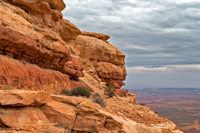
 Moki Dugway |
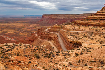 Switchbacks Of Moki Dugway |
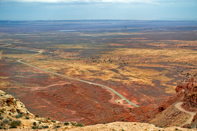
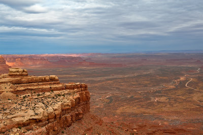
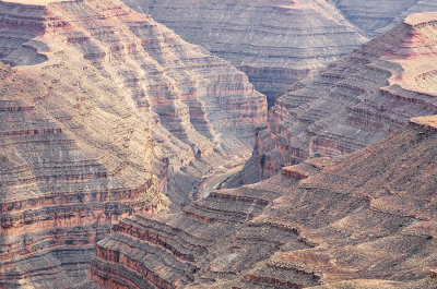
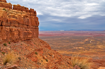 View From Moki Dugway |
 Switchbacks Of Moki Dugway |
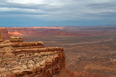
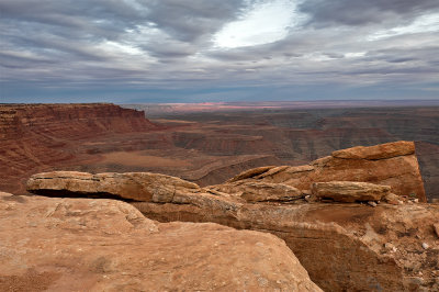
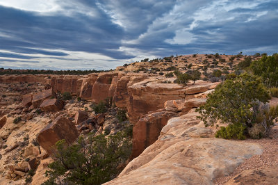
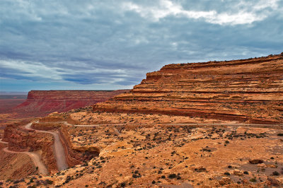 Moki Dugway And Cedar Mesa |
 Moki Dugway |
 Moki Dugway |
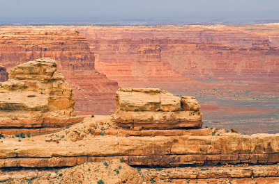 View From Moki Dugway |
 Moki Dugway |
 Moki Dugway |
 View From Moki Dugway |
 Moki Dugway |
 View From Moki Dugway |
 Moki Dugway And Cedar Mesa |
 View From Moki Dugway |
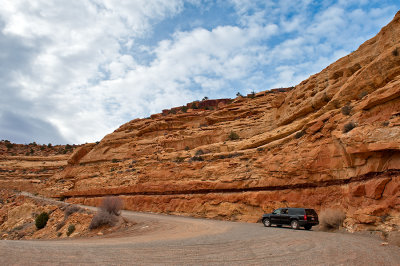
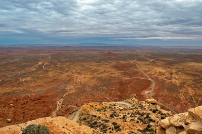
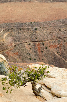
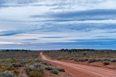
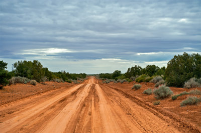 Road To Muley Point |
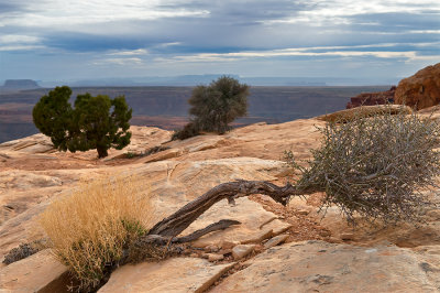
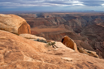
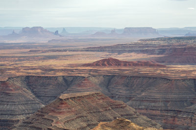
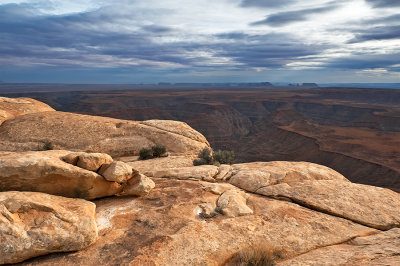
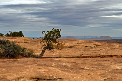
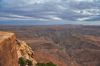 View From Muley Point |
 View From Muley Point |
 View From Muley Point |
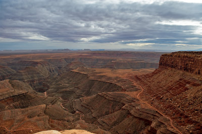
 Muley Point |
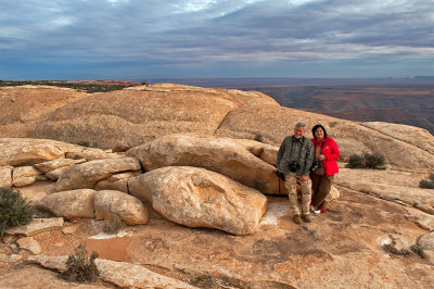 At Muley Point Overlook |
 Muley Point |
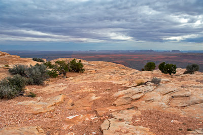
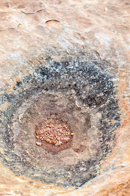
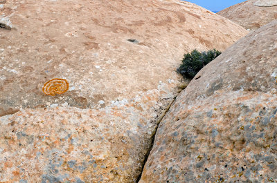
 Eye Of Muley Point |
 Muley Point |
 At Muley Point Overlook |
 Muley Point Overlook |
 At Muley Point |
 Muley Point Overlook |
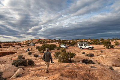
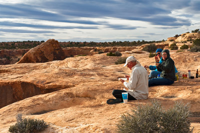 Campers At Muley Point |
 Muley Point Overlook |
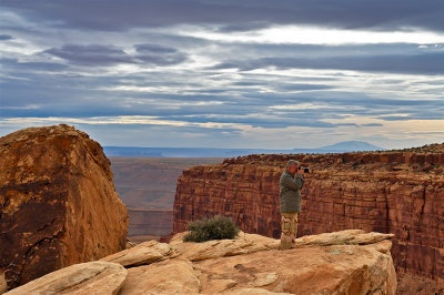 At Muley Point Overlook |
 Muley Point Overlook |
 Muley Point |
 Mulley Point |
 Muley Point Overlook |
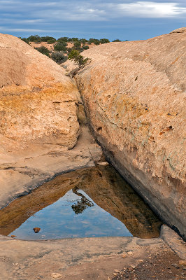
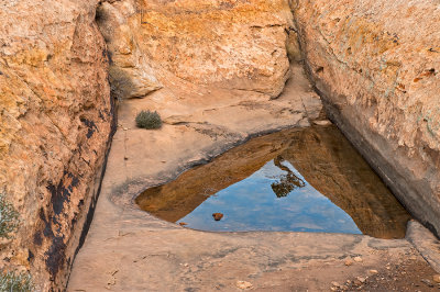
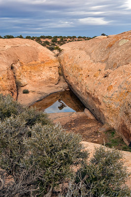
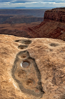
 Pothole At Muley Point |
 San Juan River From Muley Point |
 At Muley Point Overlook |
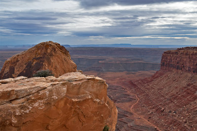
 The Muley Point Overlook |
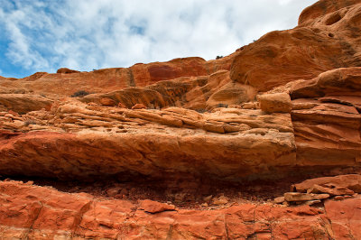
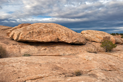
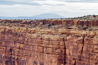
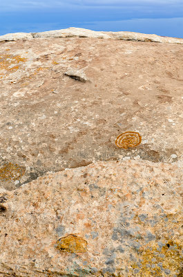 Muley Point Detail |
 Muley Point Overlook |
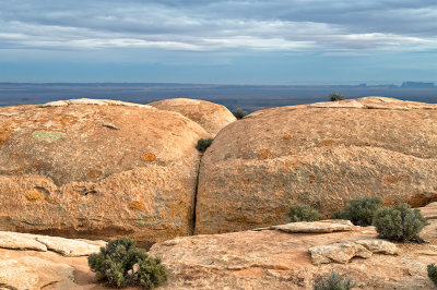
 The Crack On Muley Point |
 Muley Point Detail |
 Muley Point Overlook |
 Muley Point Overlook |
 Muley Point Overlook |
 Muley Point Overlook |
 View From Muley Point Overlook |
 Muley Point Overlook |
 At Muley Point Overlook |
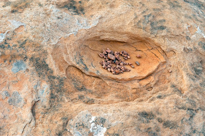 Pothole At Muley Point |
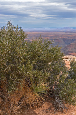
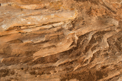 Muley Point Textures |
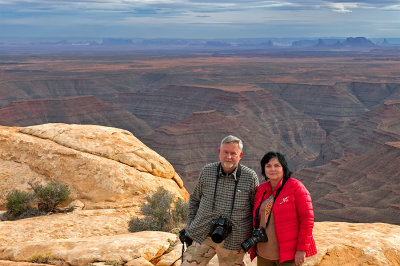 At Muley Point Overlook |
 Muley Point Overlook |
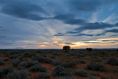 Sunset From The Road To Muley Point |
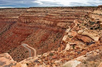
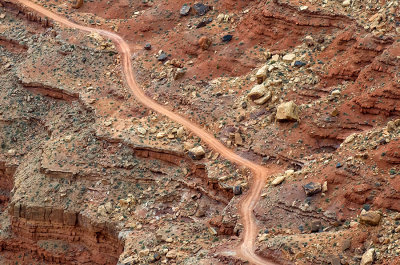
 The Muley Point Road |
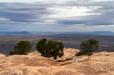
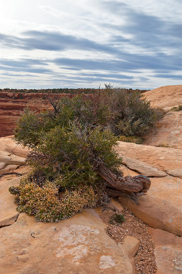
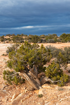
 Cedar Mesa At Muley Point |
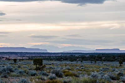
 View From Muley Point Road |
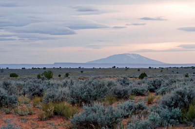
 Henry Mountains From Muley Point Road |
| fotabug | 26-Jan-2014 19:04 | |
| Jerry Pillarelli | 26-Jan-2014 14:27 | |
| joseantonio | 22-Jan-2014 18:15 | |
| Ken Duckert | 22-Jan-2014 13:39 | |
| carlogalliani | 21-Jan-2014 15:00 | |
| Philip Game | 21-Jan-2014 11:35 | |
| Tomasz Dziubinski - Photography | 11-Jan-2014 19:14 | |
| Guest | 11-Jan-2014 18:12 | |
| Fabienne | 07-Jan-2014 20:41 | |
| Zoltán Balogh | 07-Jan-2014 08:50 | |
| Guest | 05-Jan-2014 19:37 | |
| Bill Ewart Jr | 05-Jan-2014 18:34 | |
| Nestor Derkach | 05-Jan-2014 16:18 | |
| Jean-Gregoire Marin | 05-Jan-2014 13:29 | |
| Barry McCartney | 05-Jan-2014 01:25 | |
| Doug Sherman | 04-Jan-2014 14:29 | |