


|
|
|
|
|
|
| Jola Dziubinska | profile | all galleries >> AMERICAN SOUTHWEST 2011 & 2012 >> GOING TO YOSEMITE NP | tree view | thumbnails | slideshow |
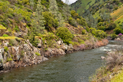
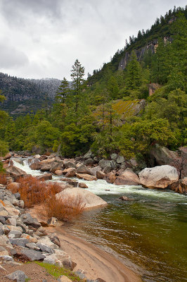
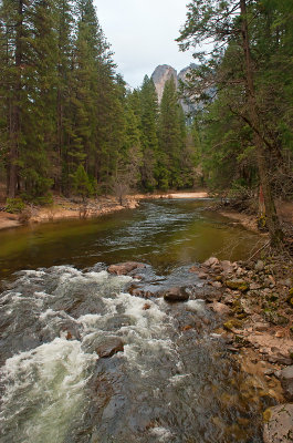
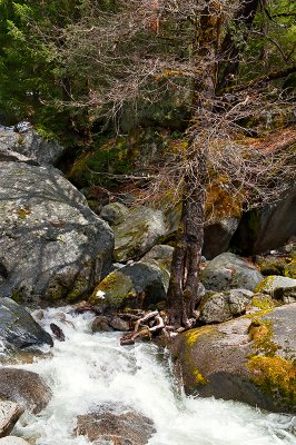
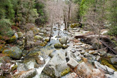
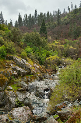 Creek Along Route 140 |
 Creek Along Route 140 |
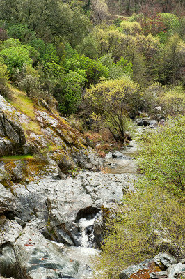
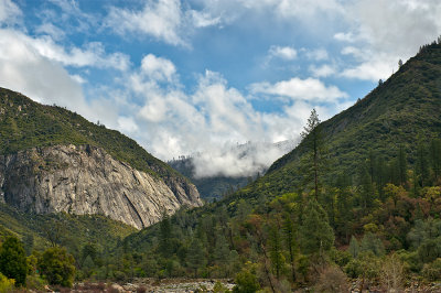
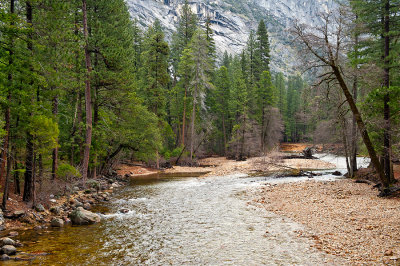
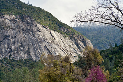
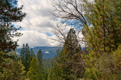
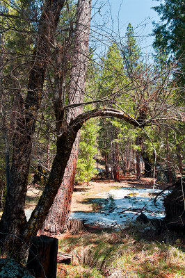
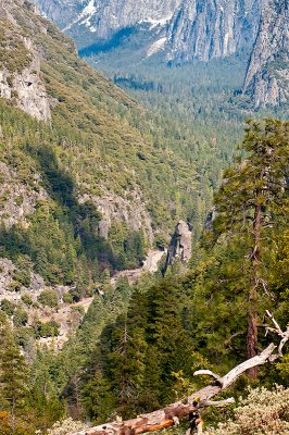
 Along Route 140 |
 Along Route 140 |
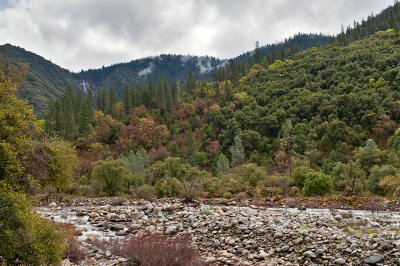
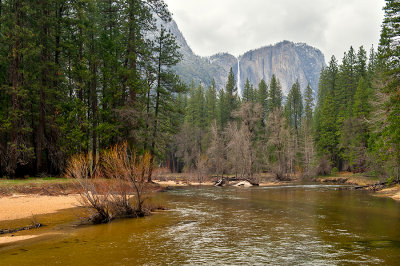
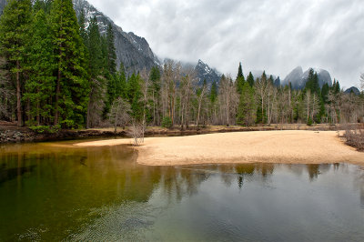
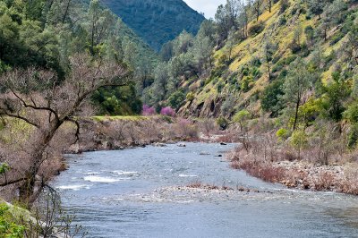
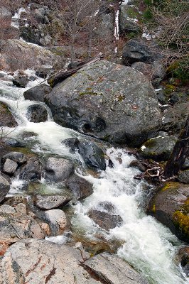
 Merced River |
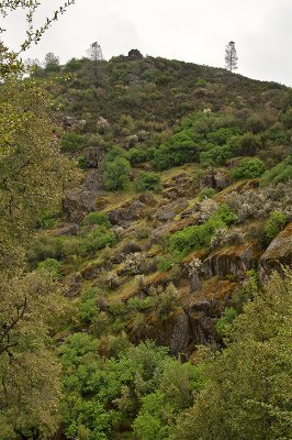
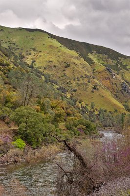
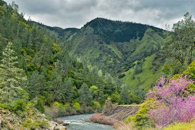
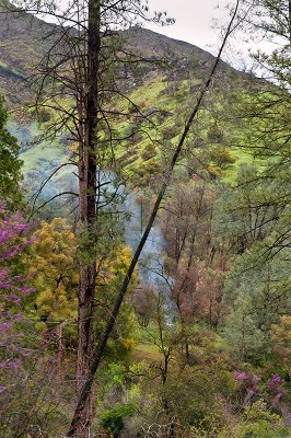
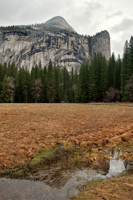
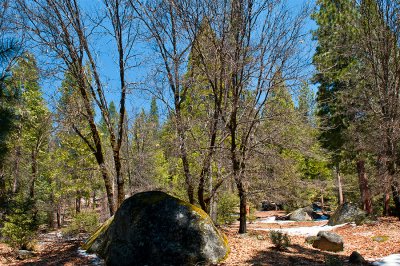
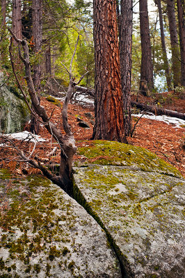
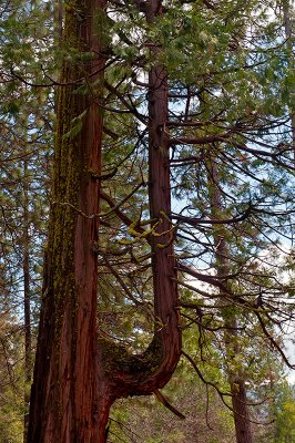
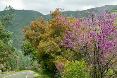 Spring Along Route 140 |
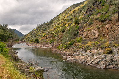 Merced River |
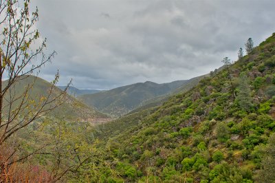 Along Route 140 |
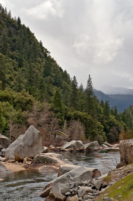
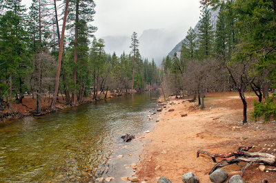
 Merced River |
 Merced River |
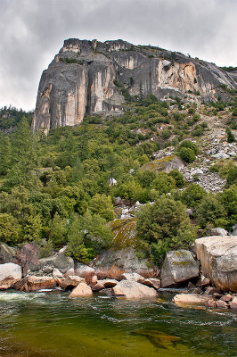 Merced River |
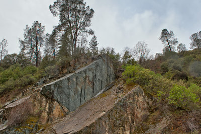
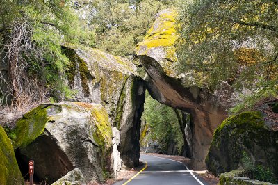 Arch Rock |
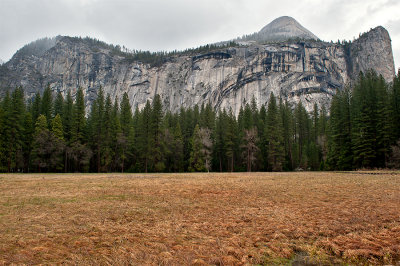
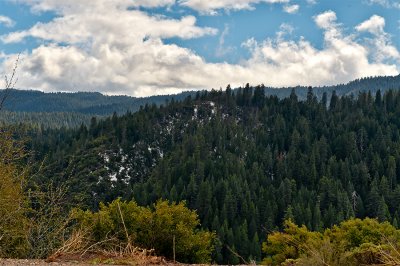
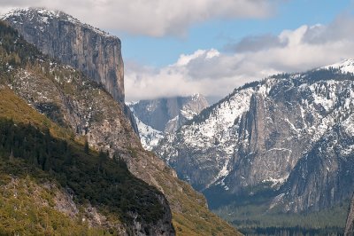
 It Clears Up For A Moment |
 Merced River |
 Merced River |
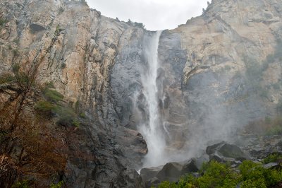
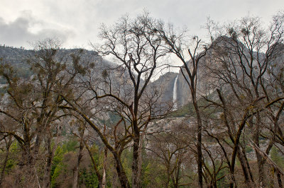
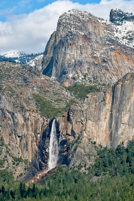
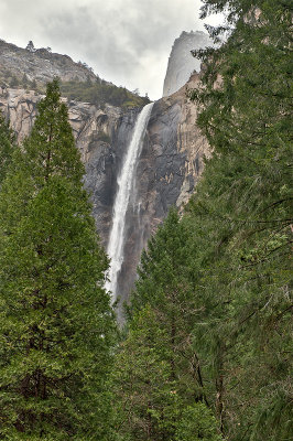 Bridalveil Fall |
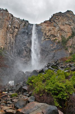
 Bridalveil Fall |
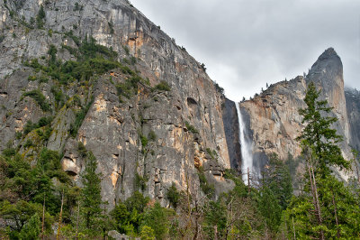
 Bridalveil Fall |
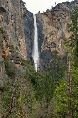
 Bridalveil Fall |
 Bridalveil Fall |
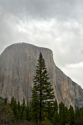 El Capitan |
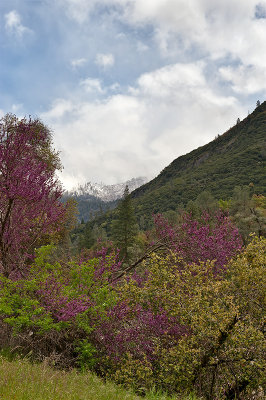
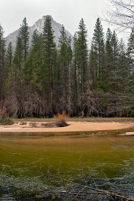
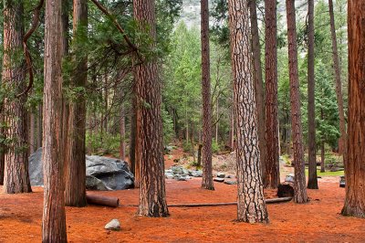
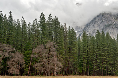
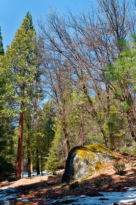
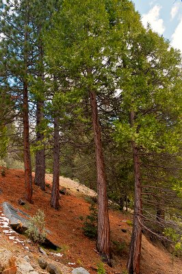
 Spring In Yosemite |
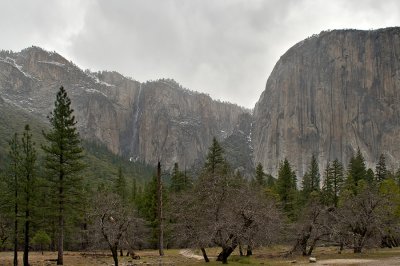 El Capitan And Ribbon Fall |
 Spring In Yosemite |
 Merced River |
 Merced River And Yosemite Falls |
 Merced River And Yosemite Falls |
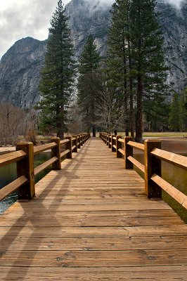 Swinging Bridge Leading Lines |
 Royal Arches |
 Merced River |
 Merced River |
 Merced River |
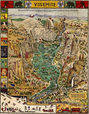 Map Of Yosemite, 1931 |
 Riffle On Merced River |
 Merced River |
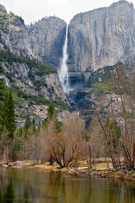
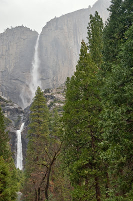
 Yosemite Falls |
 Yosemite Falls |
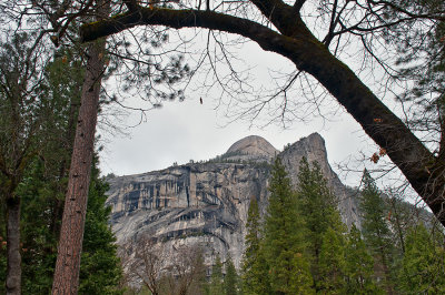 Royal Arches |
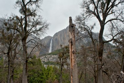 Yosemite Falls |
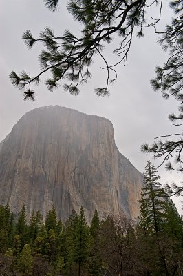 El Capitan |
 Yosemite Valley And Royal Arches. |
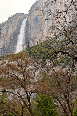 Upper Yosemite Fall |
 Yosemite Valley |
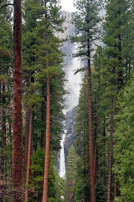 Yosemite Falls |
 Low Clouds In Yosemite Valley |
 Merced River |
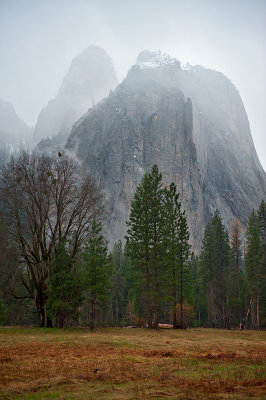 Cathedral Rocks |
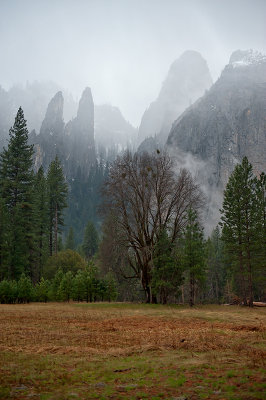 Cathedral Spires And Cathedral Rocks |
 Yosemite Falls |
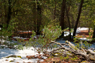
 Spring In Yosemite |
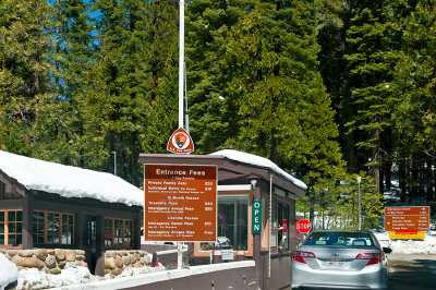 South Entrance - Wawona Road |
 Chilnualna Falls Trail |
 Chilnualna Falls Trail |
 Chilnualna Falls Trail |
 Chilnualna Falls Trail |
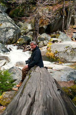 Tomasz At Chilnualna Creek |
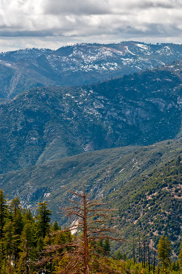
 Chilnualna Falls Trail View |
 Chilnualna Creek |
 Chilnualna Falls Trail View |
 Chilnualna Falls Trail |
 Chilnualna Creek |
 Chilnualna Falls Trail |
 Chilnualna Creek |
 At Chilnualna Falls Trail |
 Chilnualna Creek |
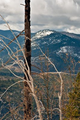
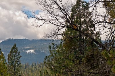 Chilnualna Falls Trail View |
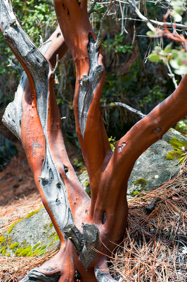 Manzanita Tree |
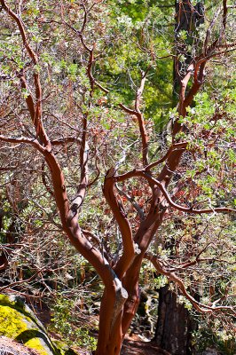 Manzanita Tree |
 Manzanita Tree |
 Chilnualna Falls Trail View |
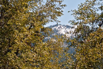
 View From Wawona Road |
 View From Wawona Road |
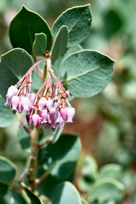 Manzanita Tree Blooming |
 Yosemite Valley |
 Bridalveil Fall And Cathedral Rocks |
 Yosemite Valley |
 Yosemite Valley |
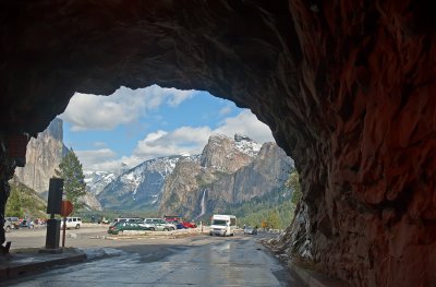 From Darkness To The Views |
| Dov | 24-Oct-2019 03:46 | |
| Bobby M | 31-May-2012 01:31 | |
| Chris | 28-May-2012 04:41 | |
| pr_rajan | 27-May-2012 11:59 | |
| Paolo Peggi (aka Bracciodiferro) | 26-May-2012 10:16 | |
| Guest | 22-May-2012 14:26 | |
| Jeff Real | 20-May-2012 13:31 | |
| Patrick F | 16-May-2012 11:46 | |
| notpedro | 16-May-2012 11:39 | |
| joseantonio | 12-May-2012 12:33 | |
| Ken Duckert | 08-May-2012 12:47 | |
| waterfalls man | 08-May-2012 09:58 | |
| Marjan Schavemaker | 06-May-2012 17:10 | |
| Alina | 02-May-2012 02:09 | |
| Andrys Basten | 29-Apr-2012 21:07 | |
| Andrys Basten | 29-Apr-2012 21:06 | |
| Tomasz Dziubinski - Photography | 29-Apr-2012 15:01 | |