


|
|
|
|
|
|
| Jack Hoying | profile | all galleries >> Photos from our Trips >> Sequoia National Park, 2001 | tree view | thumbnails | slideshow |
| previous page | pages 1 2 ALL | next page |
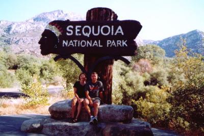 Sequoia National Park |
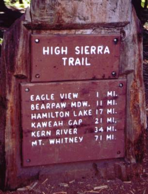
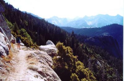
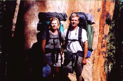
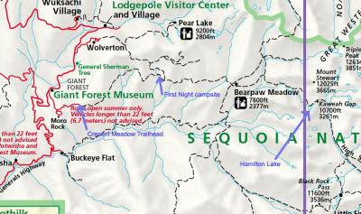 Our trail |
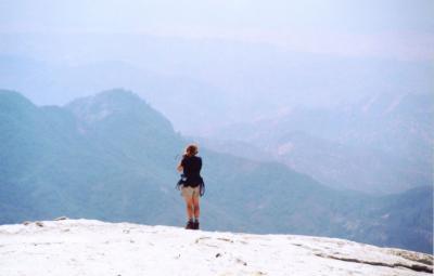 On Moro Rock |
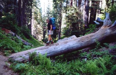 Hiking near Dorst Creek campground |
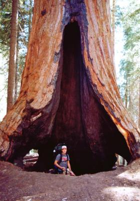 Brunt out Sequoia tree |
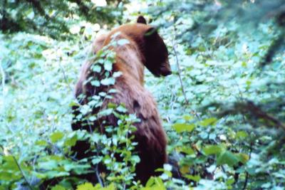
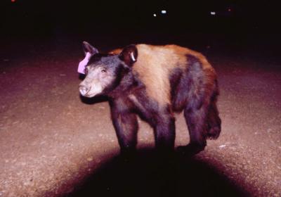 A black bear that visited our campsite at Dorst Creek |
 Creasent Meadow trailhead |
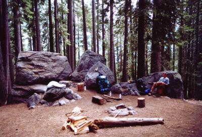
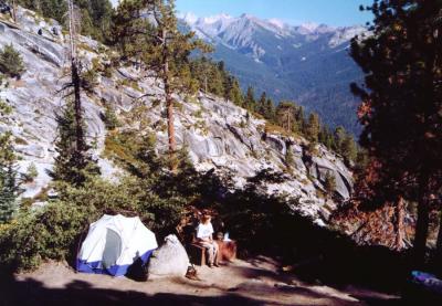 Our campsite along the High Sierra trail |
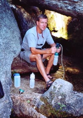 Filtering water |
 Campsite at Bearpaw Meadow, elevation 7800' |
 Along the trail to Hamilton Lakes |
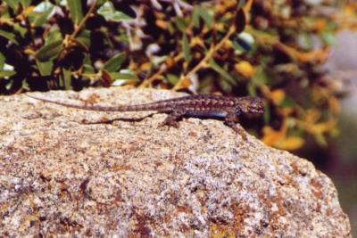 Lizard along the trail |
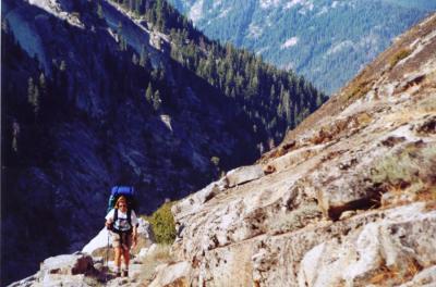 Along the trail to Hamilton Lakes |
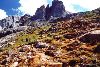
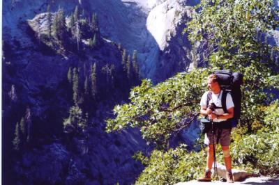
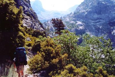 Entering the canyon towards Hamilton Lakes |
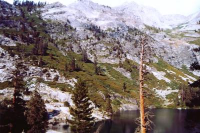
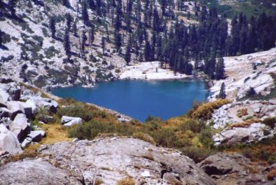
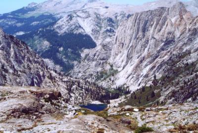
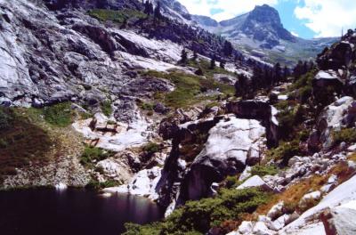 Lower Hamilton Lake |
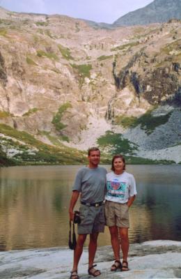
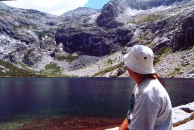 Hamilton Lake with Kaweah Gap in the background |
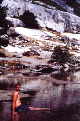 Cooling down |
 Near our campsite at Hamilton Lake |
 The continuation of the High Sierra trail, above Hamilton Lake |
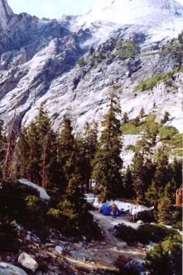 Our campsite at Hamilton Lake |
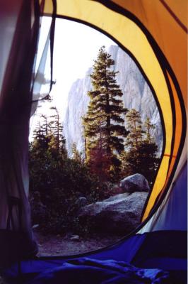 View from our tent |
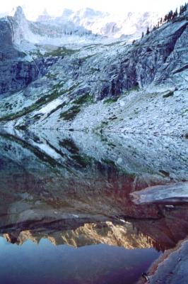 Evening mirror image on the lake |
 On the High Sierra Trail above Hamilton Lake |
 Along the trail between Hamilton Lakes and Keweah Gap |
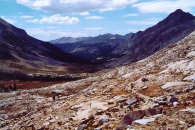
 The trail from Hamilton Lake to Kaweah Gap |
 A marmot along the trail |
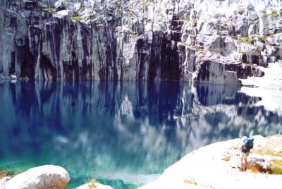 Precipice Lake |
 Precipice Lake |
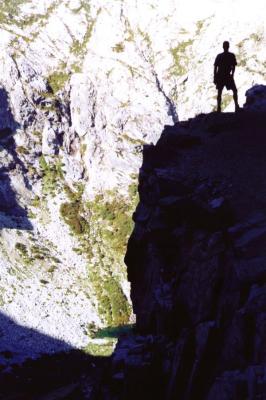
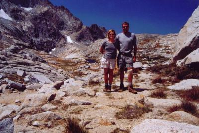
 Looking South at the Kaweah Gap, elevation 10,700' |
 Kaweah Gap, near Mount Stewart |
 The view of Hamilton Lake, from Precipice Lake |
 Along the trail between Bearpaw Meadow and Hamilton Lakes |
 Black bear along the trail |
 Nearing the Cresent Meadow trailhead, 42 miles later |
| previous page | pages 1 2 ALL | next page |
| comment | share |