photo sharing and upload picture albums photo forums search pictures popular photos photography help login
Jim Larkey | profile | all galleries >> Colorado 14'er Peak Bagging, Jul '10 Climb >> Mt Yale (14,196'), via Denny Creek Trailhead (std. route) tree view | thumbnails | slideshow | map

Mt Yale (14,196'), via Denny Creek Trailhead (std. route)

Our Mt Yale climb is a warmup for a Challenger/Kit-Carson climb a few days later. Pretty much of a walkup, but some good views of the neighboring Collegiate peaks.

We spent the day before and after the climb soaking in the hot springs at the Cottonwood Inn. What a way to climb 14ers!

The climb was uneventful, except for a couple of our climber's summit experience....static discharges. Some of our team hit the summit a 1/2 hour after I had already descended to the saddle. They reported electrical shocks when touch the steel cable, tethering the summit register. Others felt discharges through their boots, and shocks when touching the summit rocks.

As you can see from the summit photos, weather was a concern. We heard just one clap of thunder while on the summit. But you'll note that there was significant vertical development in the dark clouds, to support electric field generation, and discharges.
previous pagepages 1 2 ALL next page
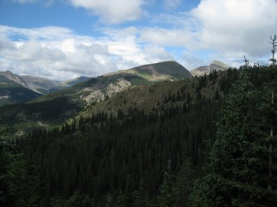
Views From Mt Yale Trail
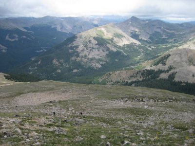
View Across Cottonwood Creek Drainage
Mt Princeton (14,197'), Right Side of Photo
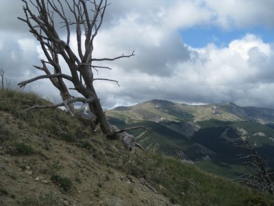
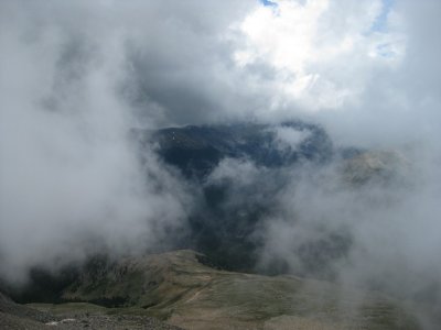
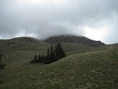
First Glimpse of Yale's Summit....In the Clouds!
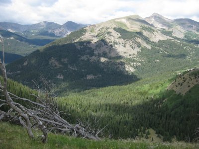
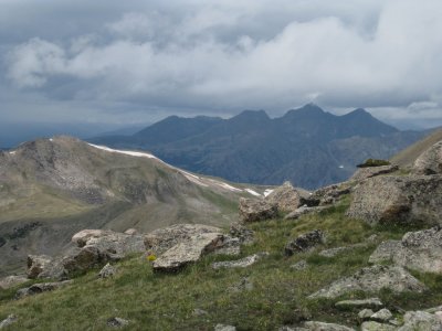
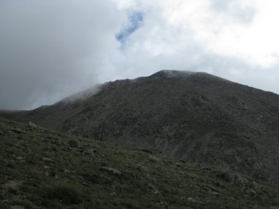
Finally, A View of Our Goal
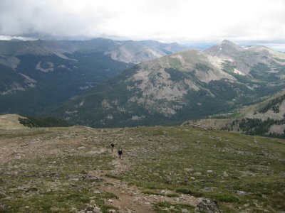
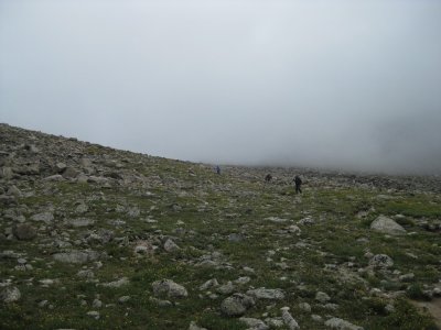
Fellow Climbers on the Saddle
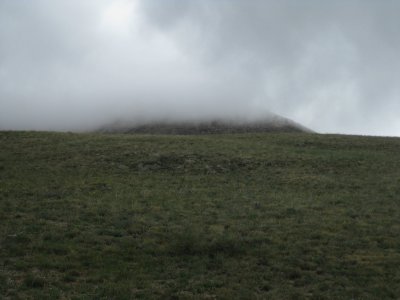
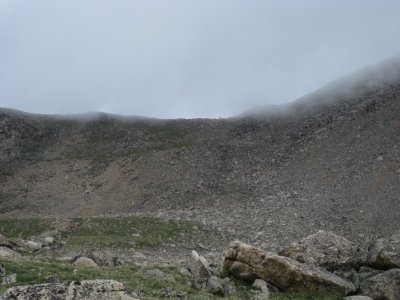
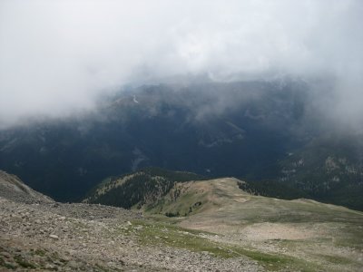
Changeable Weather?
Changeable Weather?
Looking Back Down the Trail, Mt Princeton (cone on the right)
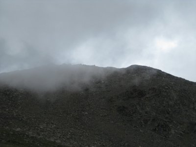
Will the Weather Hold?
Looking Back Down the Trail, Mt Princeton (14,197'), cone on the right
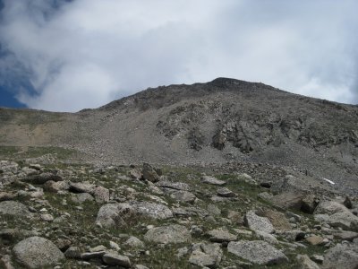
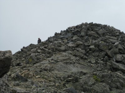
Approaching the Summit of Mt Yale (14,196')
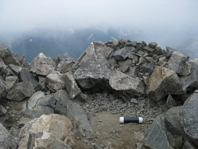
Summit Register, Mt Yale (14,196')
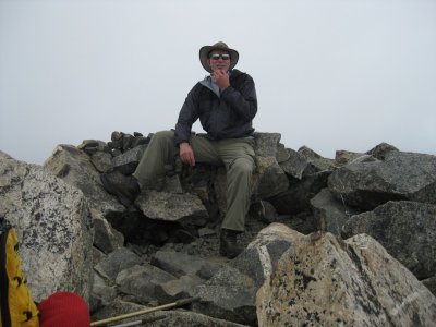
Summit Shot, Still in the Clouds, Occassionally
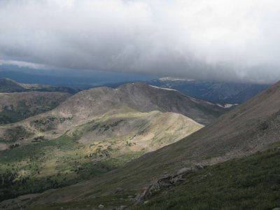
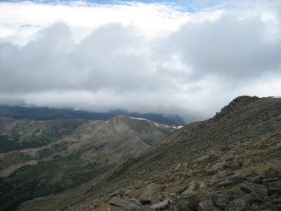
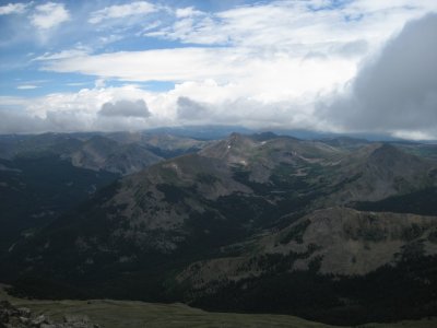
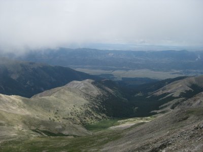
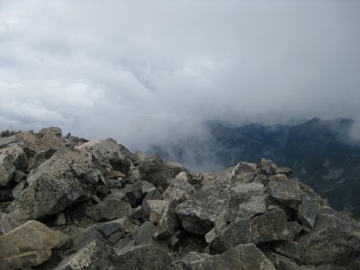
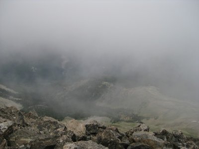
View From Summit Shelter
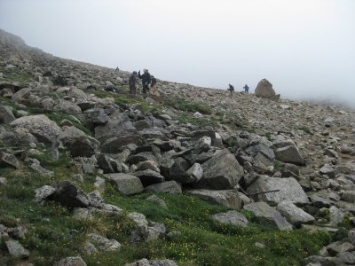
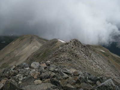
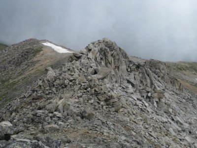
Beginning Our Descent Down the Ridgeline to the Saddle
Mt Princeton (14,197'), Highest Peak Center of Photo
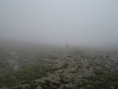
Ghost Climber Emerging From the Clouds
Trail Work Crew Below
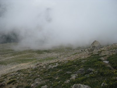
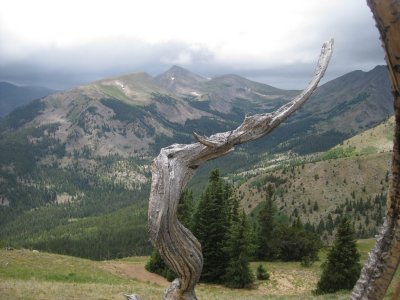
Wonderful Cloudplay
Wonderful Cloudplay
Climbers Descending
Climbers Descending
g1/06/5106/3/128142968.vEAdgQ6F.jpg Climbers Descending
Climbers Descending
Continental Divide (skyline)
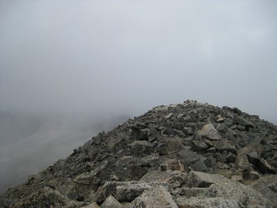
Looking Back at Summit Cone of Mt Yale
Our Descent Drainage
"Our" Descent Drainage
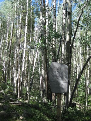
Back in the Aspens
Back in the Aspens
previous pagepages 1 2 ALL next page