


|
|
|
|
|
|
| Margie | profile | all galleries >> National Parks/Monuments/ State Parks Gallery >> A Wrinkle in the Earth --Capitol Reef National Park | tree view | thumbnails | slideshow |
| previous page | pages 1 2 3 4 5 ALL | next page |
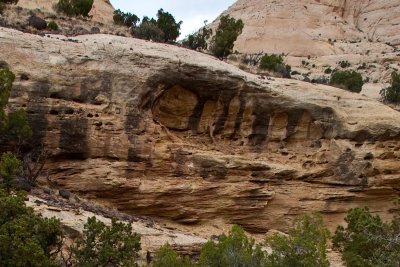 Solution Cavities |
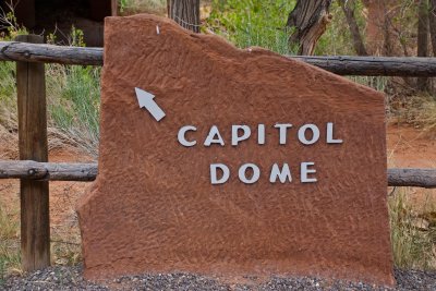 Don't believe all the signs you see! |
 back to "Swiss Cheese" |
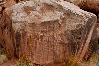
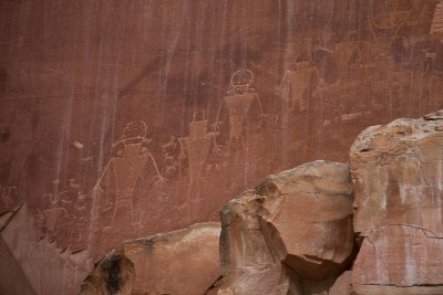 Petroglyphs |
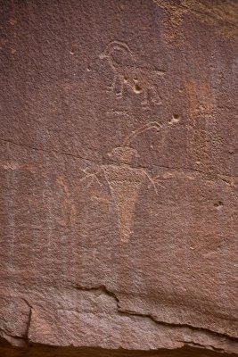 More than 1,000 years ago |
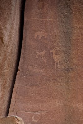 a manner of communication |
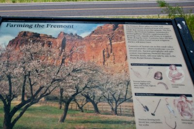 History of Fruita and the Fremont People |
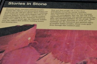 history of the Petroglyphs in the Fruita/Fremont area |
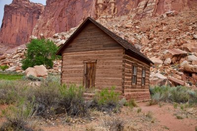 Fruita Schoolhouse |
 a memorial to the school house |
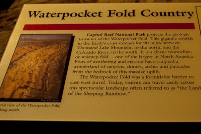 Explanation of the "wrinkle" in the earth's crust |
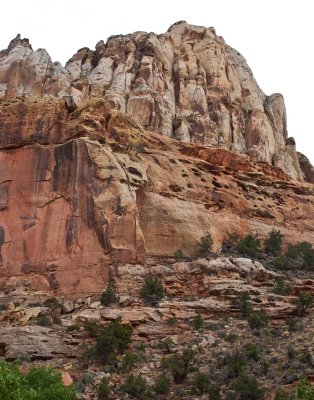
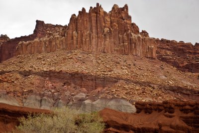 The Castle |
| previous page | pages 1 2 3 4 5 ALL | next page |
| comment | share |