


|
|
|
|
|
|
| Henry Rogers | profile | all galleries >> 20th Century >> The 1970s >> Mapping Lake Chad | tree view | thumbnails | slideshow |
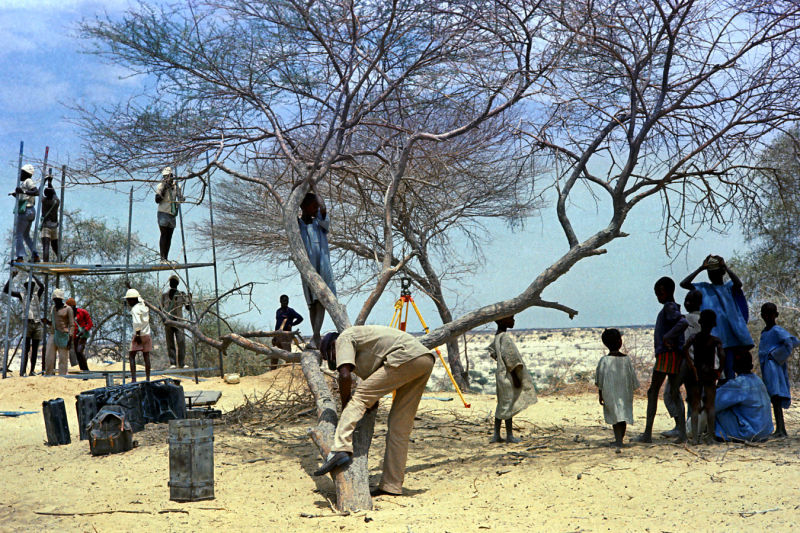
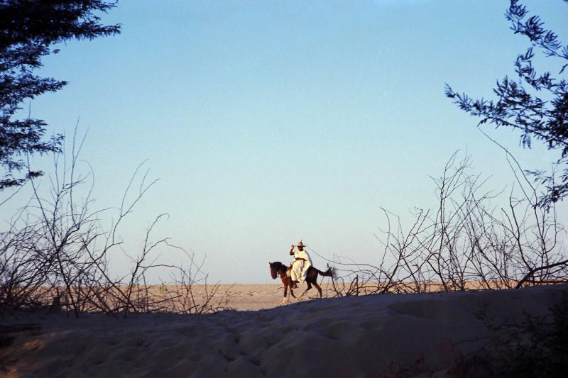 1974 Niger - near Lake Chad |
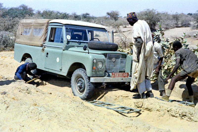 1974 - Near Lake Chad - using sand ladders |
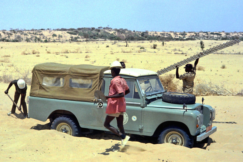 1974 - Near Lake Chad - using pierced steel planks |
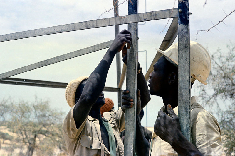
 1974 - Tchad - Survey tower1 |
 1974 - Tchad - Survey tower2 |
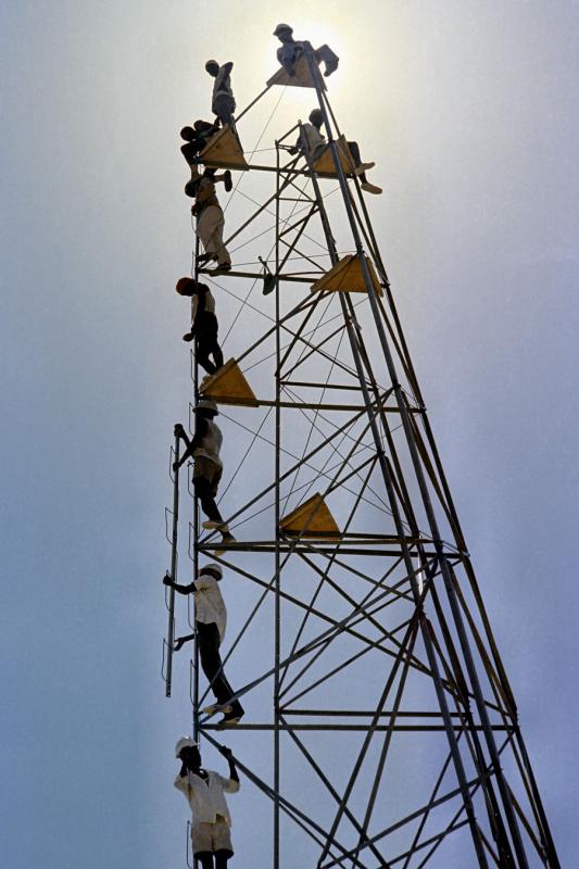
 1974 - Tchad - Survey tower3 |
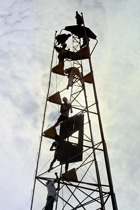
 1974 - Tchad - Survey tower4 |
 1974 - Tchad - Survey tower5 |
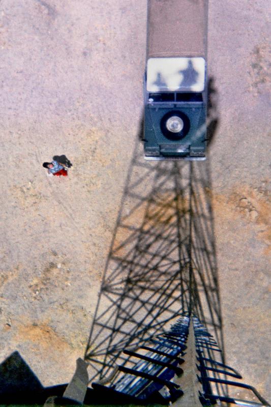 1974 - Tchad - Survey tower6 |
 1974 - Tchad - Helio operator on survey tower |
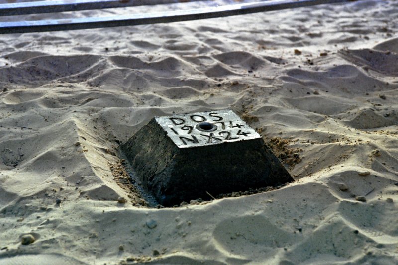 1974 - Niger near Lake Chad DS060419152034 |
 1974 - Near Lake Chad |
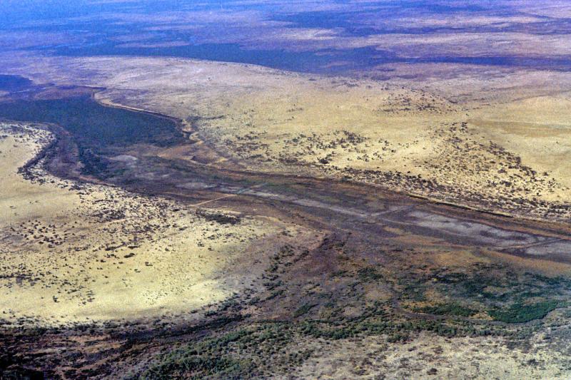
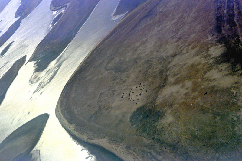
 1974 - Lake Chad from the air |
 1974 - Lake Chad from the air |
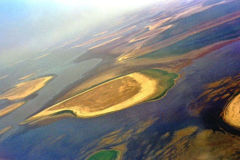
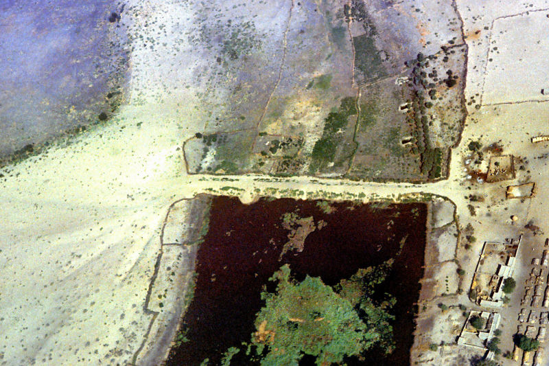 1974 - Shore of Lake Chad |
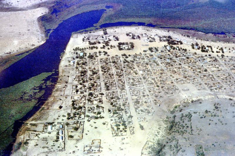 1974 - Shore of Lake Chad |
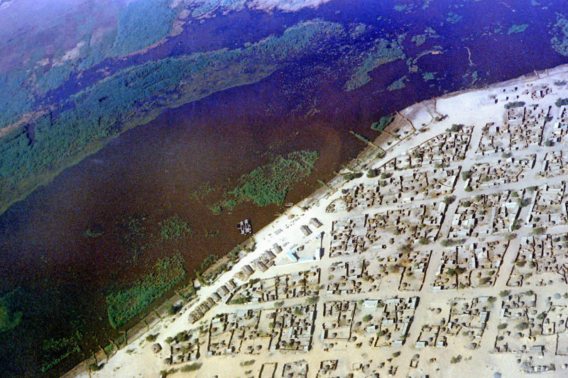 1974 - Shore of Lake Chad |
| comment | share |