photo sharing and upload picture albums photo forums search pictures popular photos photography help login
Harry Lavo | profile | all galleries >> Places Visited >> Quabbin Resevoir, Central Massachusetts tree view | thumbnails | slideshow

Quabbin Resevoir, Central Massachusetts

The largest body of water in Massachusetts, the Quabbin was formed in the mid-thirties by damning and flooding two connected valleys, The purpose: water for the eastern part of the state, especially Boston. Three towns were wiped out, the people relocated and the cemetaries dug up and transferred. Remnants of these towns exist underwater yet today.

The reservoir is quite isolated from the population. There are a few (very few) walk in fishing areas, and a chance to walk of the damn at the south end. At the north end there is a cordoned area where you cant rent motorboats and fishing tackle for some choice lake fishing.

I've lived in this area for fifteen years, but this was the first time I explored the area.
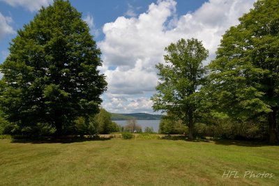
NEF Quabbin Res_20150809_25_w-Eileen_DSC6721.jpg
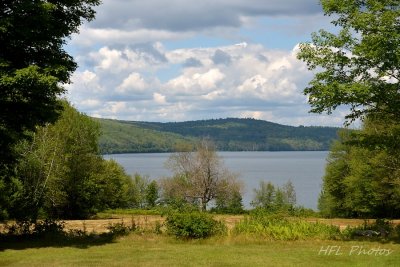
NEF Quabbin Res_20150809_26_w-Eileen_DSC6722.jpg
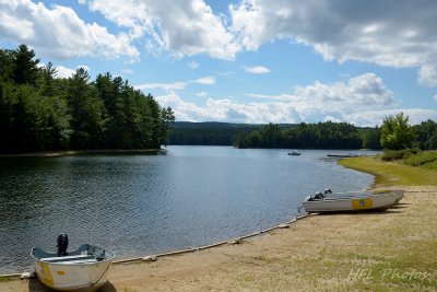
NEF Quabbin Res_20150809_27_w-Eileen_DSC6723.jpg
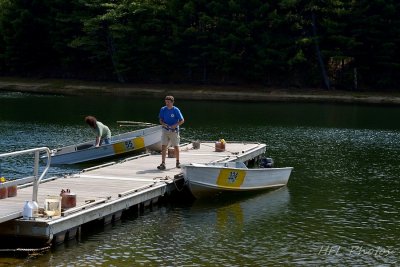
NEF Quabbin Res_20150809_28_w-Eileen_DSC6724.jpg