


|
|
|
|
|
|
| hashiru | profile | guestbook | all galleries | recent | tree view | thumbnails |
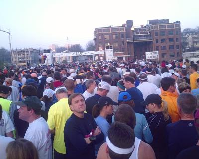
A marathoning we will go |

Trip to Japan 2000 |
Dead Runners Society World Conference IX |
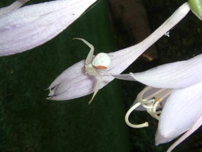
Spiders |
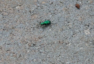
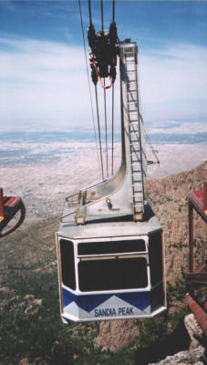
Miscellany |
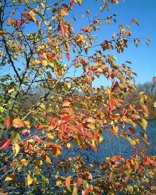
Indian Summer Run in Ann Arbor: U of M Arb and Gallup Park |
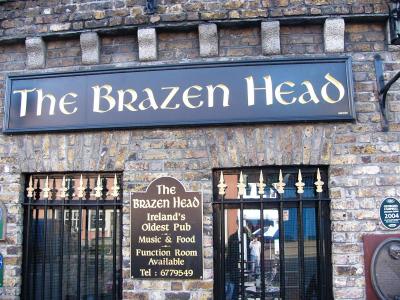
Ireland 2005 |
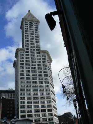
Trip to Visit Kava and Wing in Seattle: February 2007 |
Canada Vacation 2007 |
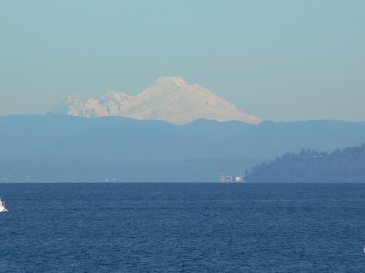
Thanksgiving in Seattle 2007 |
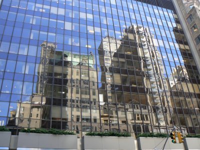
Midtown Manhattan |
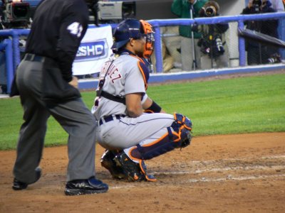
Tigers - Yankees April 29, 2008 |

julie_seattle |
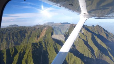
Small plane tour of Kauai |