


|
|
|
|
|
|
| Hans Wortel | profile | all galleries >> meidenclub >> Wandeling Rondje Leusden 4 juli 2010 | tree view | thumbnails | slideshow | map |
| previous page | pages 1 2 3 ALL | next page |
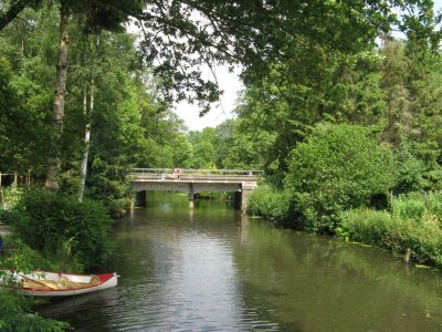
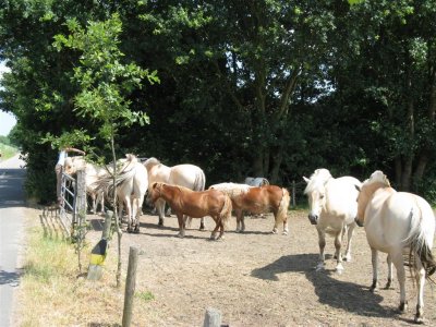 Valleikanaal |
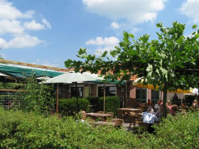 Theetuin Valleikanaal |
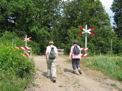
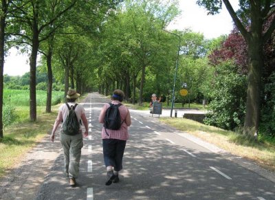 Leusbroekerweg |
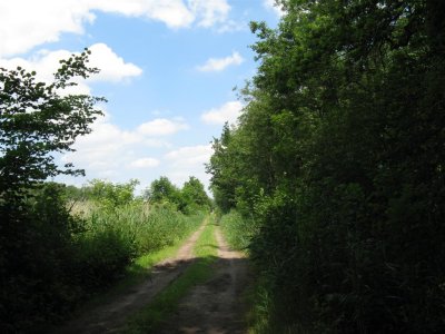 Richting landgoed De Boom |
 landgoed De Boom |
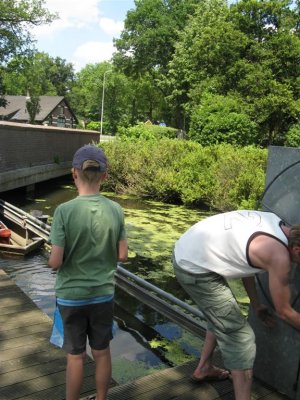 Kanotransport onder brug |
 Vieweg |
 Auto bij geocache GC214EF |
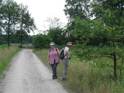
 Richting Arnhemseweg |
 Schutterhoeflaan |
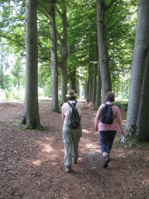
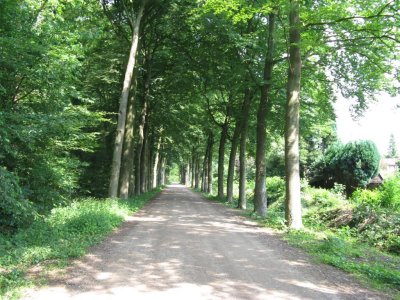
 Lockhorsterbos |
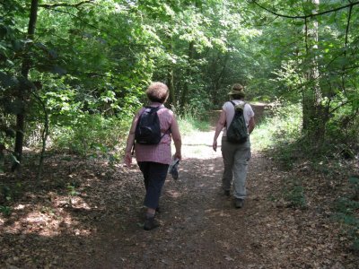
 Lockhorsterbos |
| previous page | pages 1 2 3 ALL | next page |
| comment | share |