


|
|
|
|
|
|
| gtach | profile | all galleries >> :: Running :: >> Rattlesnake to Cougar - 05.30.2004 | tree view | thumbnails | slideshow |
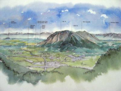
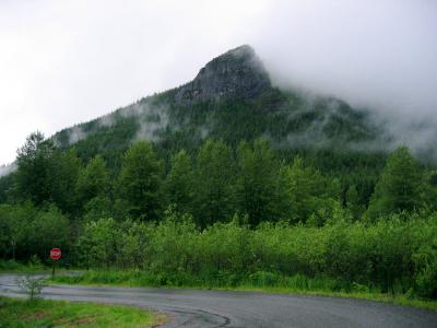 The view from Rattlesnake Lake |
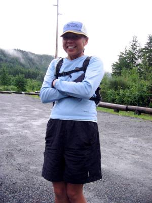 Jenny's anxious to start the adventure |
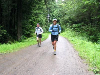
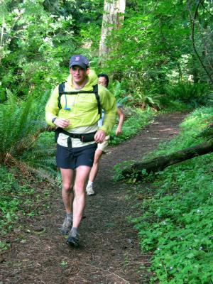
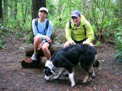
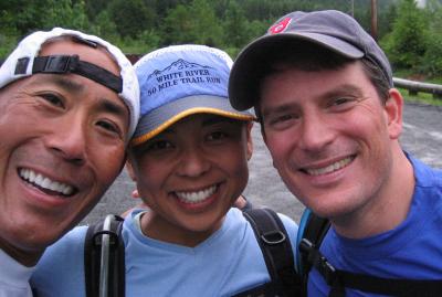 Glenn, Jenny & Charlie just before starting |
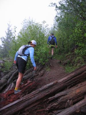
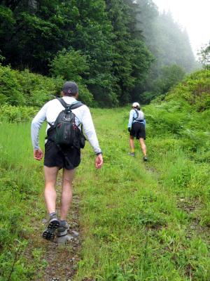
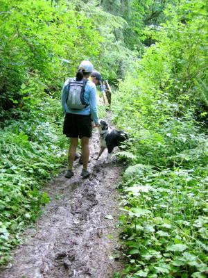
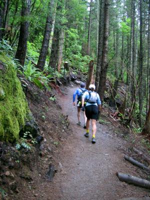 Climbing up Rattlesnake Ledge Trail |
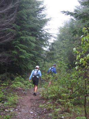
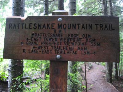 Rattlesnake Mountain Trail |
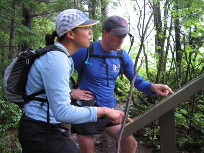 Jenny & Charlie disagree on where we are |
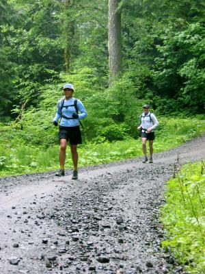
 More climbing |
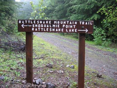 Well marked signage along the whole trail |
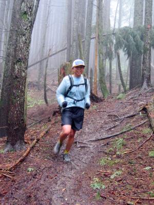
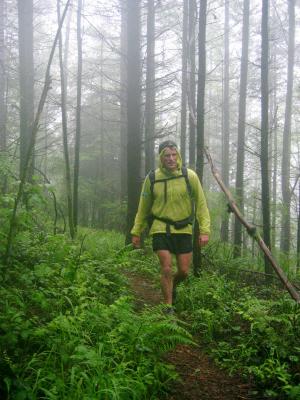
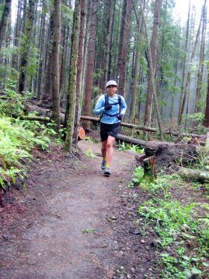
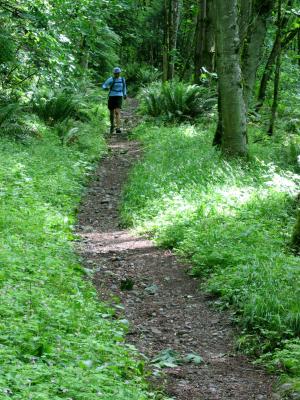
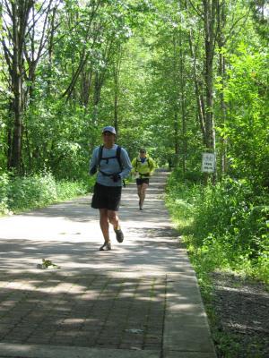
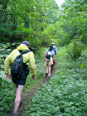
 Into the woods |
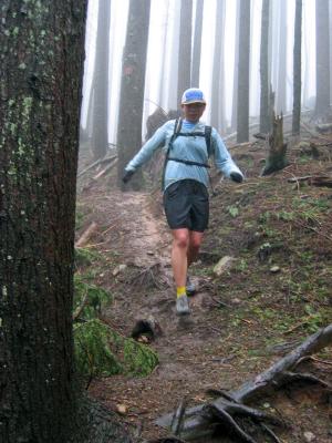
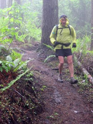
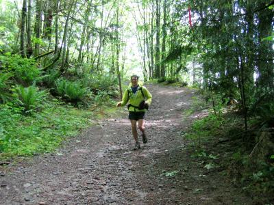
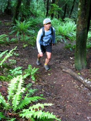
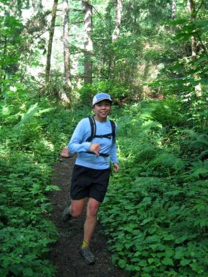
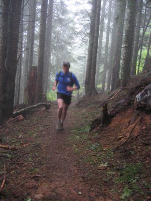 Charlie becomes a blur |
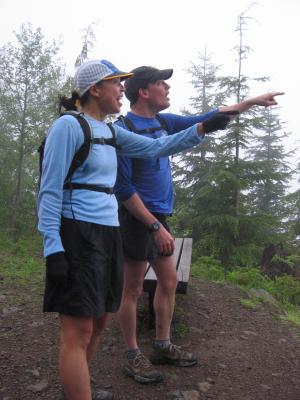 The view takes Jenny & Charlie's breaths away |
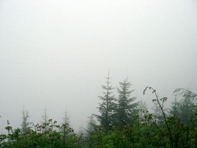 What they really saw |
 What they were supposed to see |
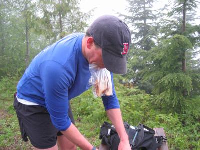 Charlie's ready to eat |
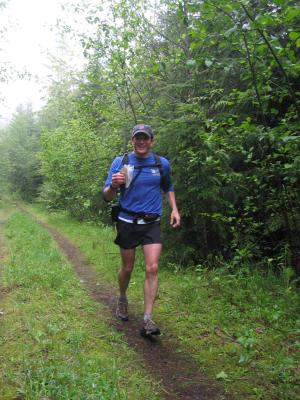 Running & eating...Mmmm, good! |
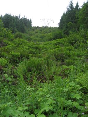
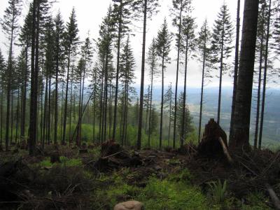 Clearcut area |
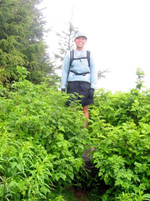
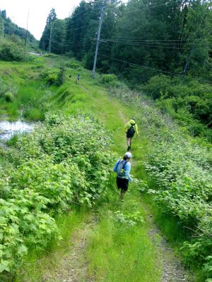
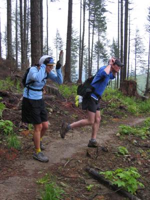 Entering the "Great Plain", Jenny & Charlie spontaneously get the urge to imitate Tonka |
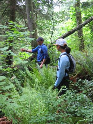
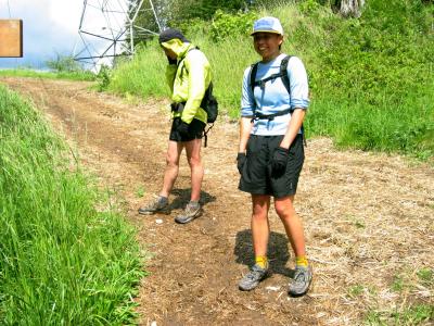
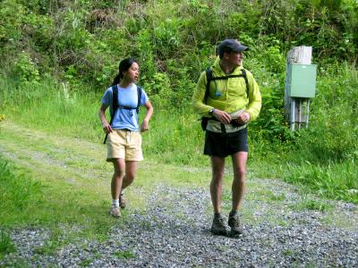
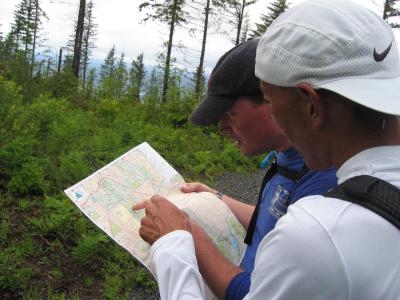 Reaching the power lines, Glenn & Charlie consult the map |
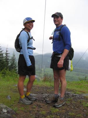 Jenny & Charlie under the powerline |
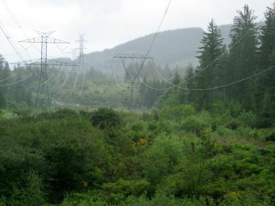
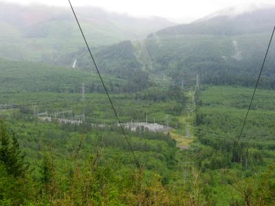 Our route will follow the powerlines up Tiger Mt. way in the distance. Hwy 18 is the vertical strip on the left. |
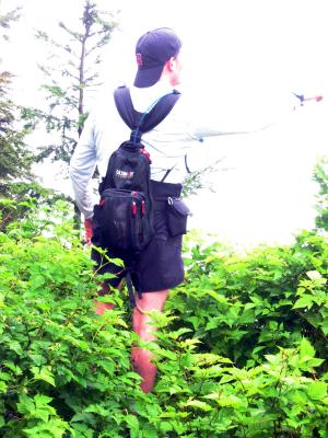
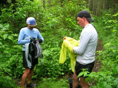
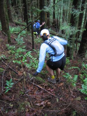 The bushwhacking section |
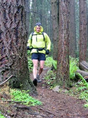
 Charlie's loves THE bushwhacking |
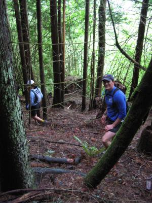
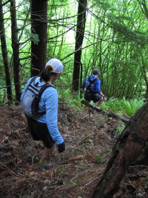 More bushwhacking |
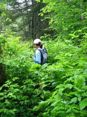
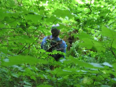 Charlie up to his neck in foliage |
 Charlie thinks we should go that way |
 Where we came from, way up there |
 Much better than bushwhacking |
 Where we came from again |
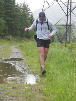 Charlie sidesteps a puddle |
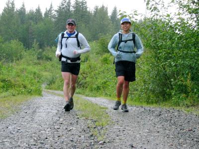
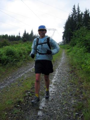 Jenny's cruising down the road |
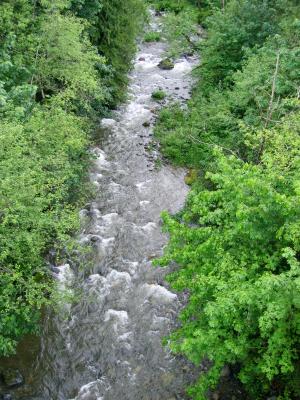
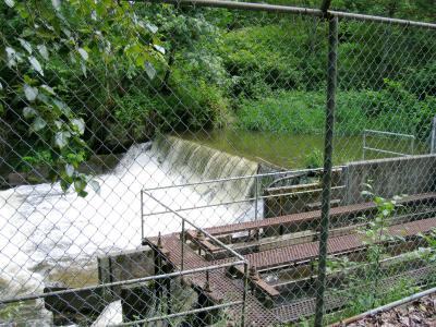
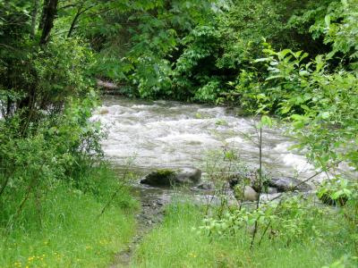 The Raging River was raging |
 We took the up and over Hwy 18 option |
 The Raging River from the top of Hwy 18 |
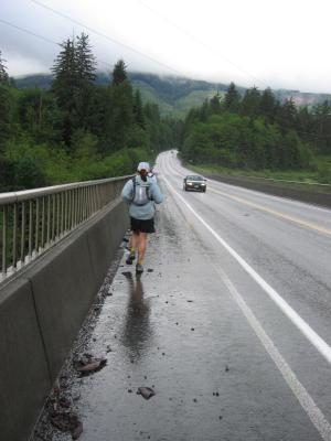
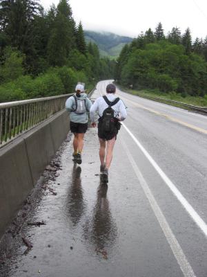 Running down Hwy 18 |
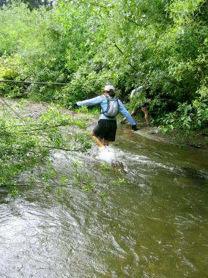
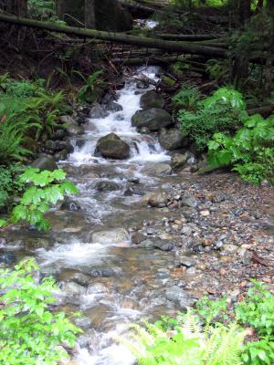
 Crossing Deep Creek |
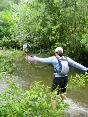
 Jenny fights the current |
 Hwy 18, looking back |
 Climbing under the powerlines on Tiger Mt. |
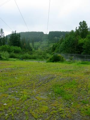
 The power lines intersect Tiger Mt. Road 7000 |
 Spring Fork Creek from Road 7000 |
 Jenny & Charlie running up Road 7000 |
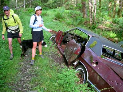
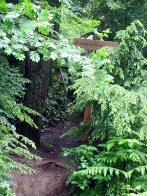 Preston Railroad Grade Trail - "Looking for Don Mukai" |
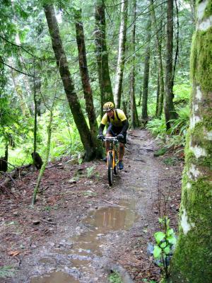 Mt. biker on the Preston RR Grade |
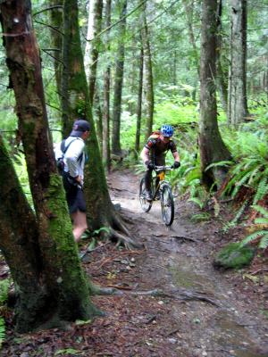 Preston RR Grade is mt. bike central |
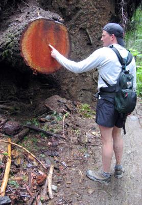 No, Charlie, we don't have time to count the rings |
 Jenny from the block, on the rock, East Tiger Summit |
 Charlie, what are you pointing at??? There's no view! |
 The wind!!! Aaaah!!! |
 Jenny running down East Tiger Trail |
 Trail dancing |
 East Tiger / Preston Trail intersection |
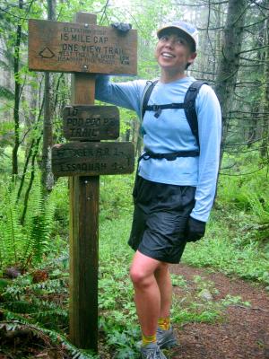
 15 Mile Railroad Grade overgrown with Salmon Berries |
 Jenny climbs Lone Rock on the TMT |
 Jenny ready to run down One View Trail |
 Charlie catches up |
 Nice, soft & wide One View Trail |
 Charlie loves it! |
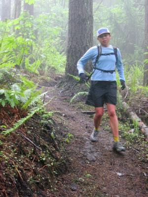
 Jenny's running strong |
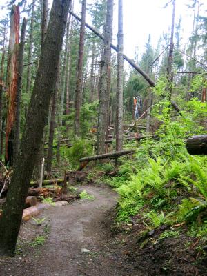 Wind storm damage & nice trail |
 Charlie at the end of One View |
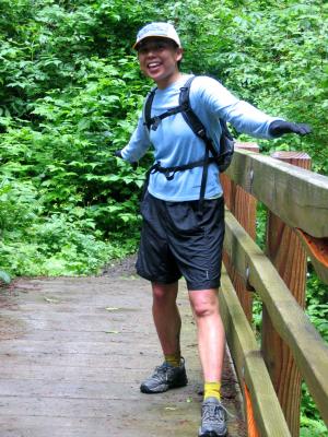 Jenny's dancing on the Poo Poo Point bridge |
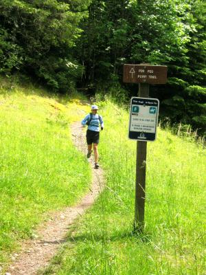
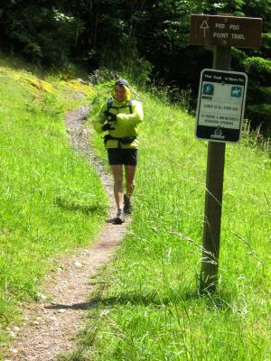
 Running down Poo Poo Point |
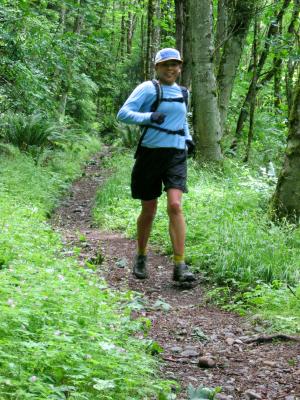 Still smiling |
 Jenny emerges from Poo Poo Point into sunshine |
 Against Charlie's wishes, a picture is taken |
 On our way to Issaquah |
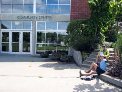
 Charlie checks in with Audrey |
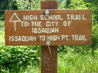
 Charlie at the end of the High School Trail |
 Ouch! The concrete Rainier Greenway Trail |
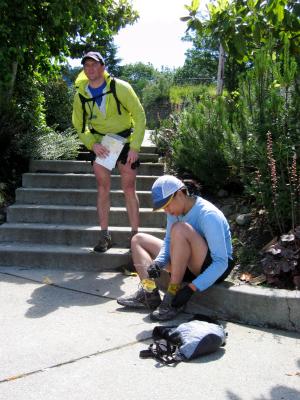
 Our planned water stop is closed |
 Charlie squints in the sunshine |
 Waterworks along the Squak Mt. Access Trail |
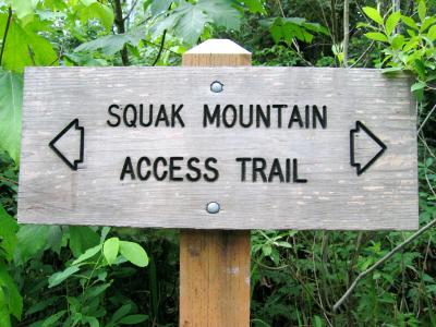 Squak Mt. Access Trail |
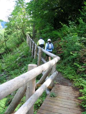 Nice guard rails |
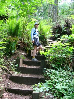 Nice steps |
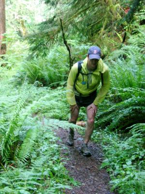 The grunt up the East Ridge Trail |
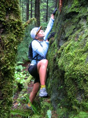
 Jenny Climbing |
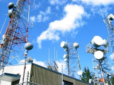 Central Peak Towers |
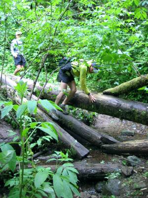 Negotiating logs on the Central Peak Trail |
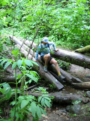 Jenny slides down |
 Audrey & Roscoe meet us |
 Jenny at the bottom of the Central Peak Trail |
 Charlie gets new strength from Audrey |
 Audrey & Charlie |
 On the way to cross Hwy. 900 to Cougar Mt. |
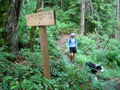
 Climbing up the Squak Mt. Connector Trail on Cougar Mt. |
 Jenny's loves her new ride...just like Bandur's |
 Jenny & Roscoe |
 Resting at the top of Wilderness Peak |
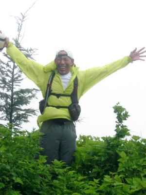
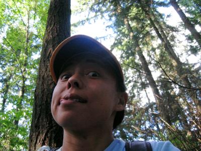 Self portrait |
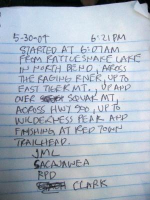 Our entry in the Wilderness Peak book |
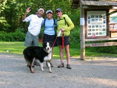 The end of our adventure! Red Town Trailhead |
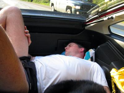 Charlie, zonked out in the back of the CRX |
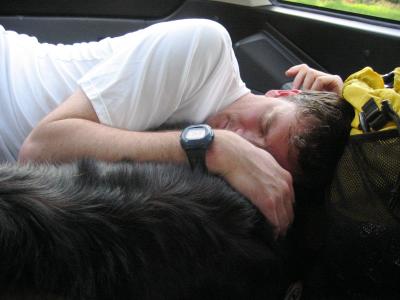 Charlie & Roscoe |
| comment | share |