


|
|
|
|
|
|
| gtach | profile | all galleries >> :: Running :: >> WW Fat Ass 50 Course | tree view | thumbnails | slideshow |
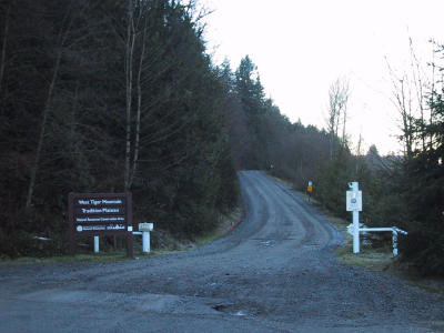 Start (0.0 miles) |
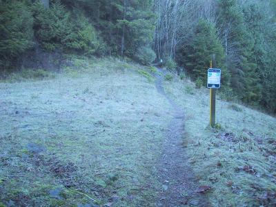
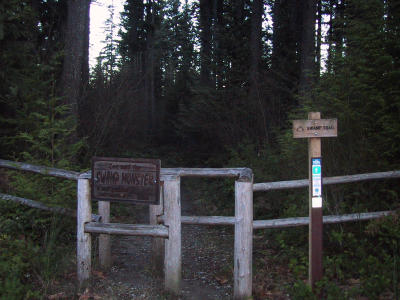 Swamp Trail (0.2) |
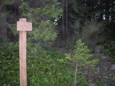
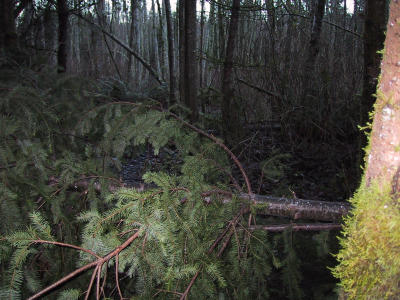 Tree |
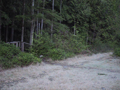 Big Tree Trail/Bonneville Power Line intersection (0.8) turn right on power line to Brink |
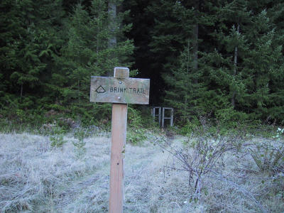
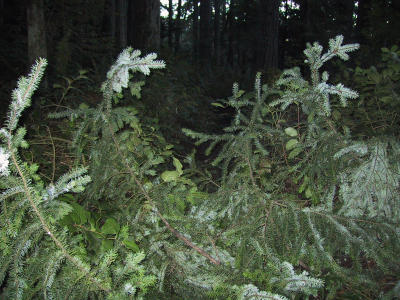
 Brink Trail (0.9) |
 Brink Trail continued after clearing |
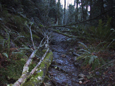
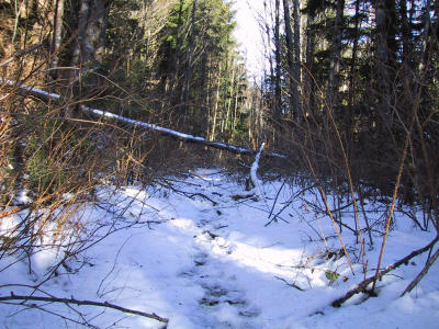
 Tree |
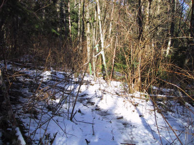
 Tree |
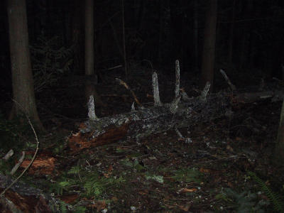 Tree |
 Tree |
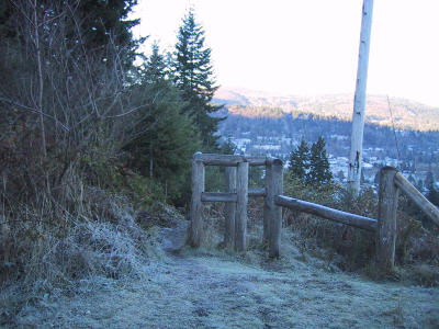
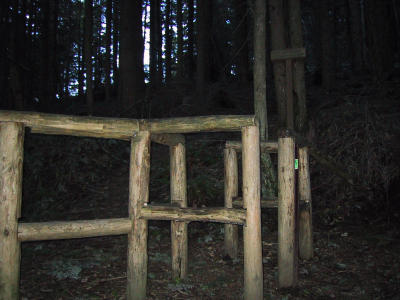
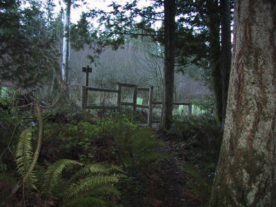 Brink Trail exit gate (1.6) exits to Road |
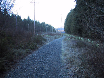 turn right on Road to Sunshine Trail |
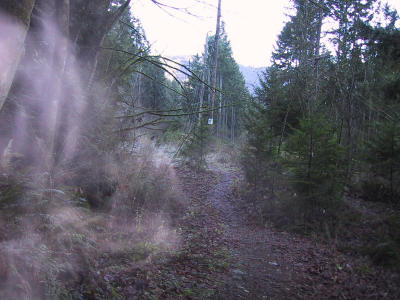
 Sunshine Trail |
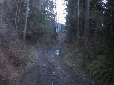
 Trail to Issaquah HS (1.7) |
 High School Trail |
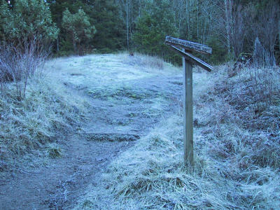 Top of High School Trail to Poo Poo |
 Poo Poo Point Trail (2.2) |
 Tree |
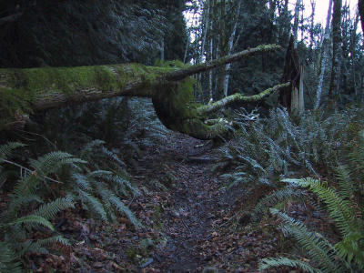 Tree |
 Tree |
 Tree |
 Big Tree, Keith & Rugby |
 Same Big Tree, another view |
 Tree |
 Poo Poo Point & W Tiger RR gate (5.2) |
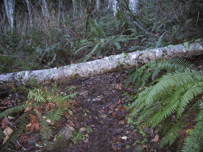
 Tree |
 Tree |
 Tree |
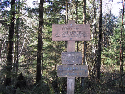 One View & TMT intersection (6.2) turn right on TMT |
 Tree |
 Tree |
 Tree |
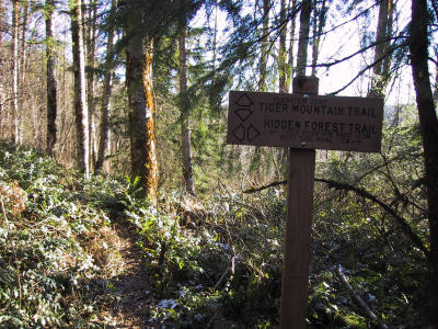 Hidden Forest & TMT intersection |
 Tree |
 Tree |
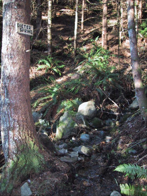 Dieter Spring (7.7) |
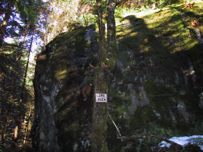 Lone Rock (7.9) |
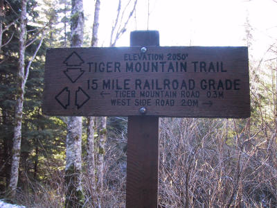 15 Mile RR Grade (9.0) turn left on 15 M RR |
 15 Mile RR Grade (9.0) |
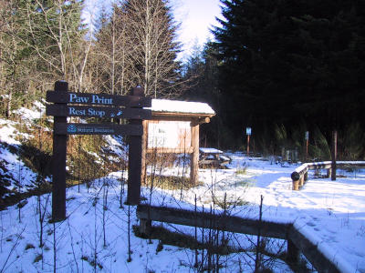 Paw Print Rest Station (9.2) |
 Tree |
 Tree |
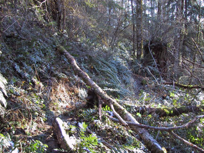
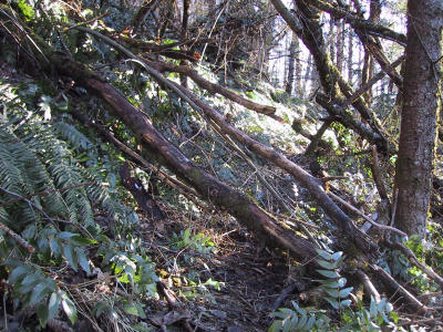
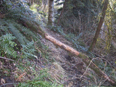
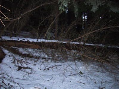
 Bootleg Trail (11.2) |
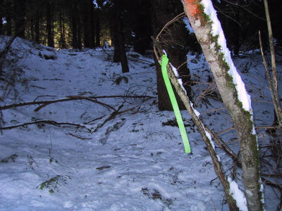
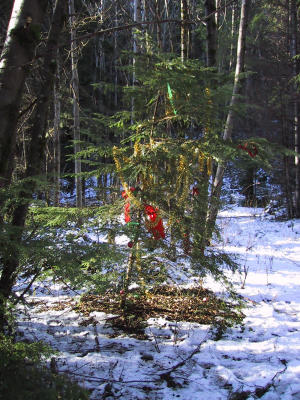 Christmas tree |
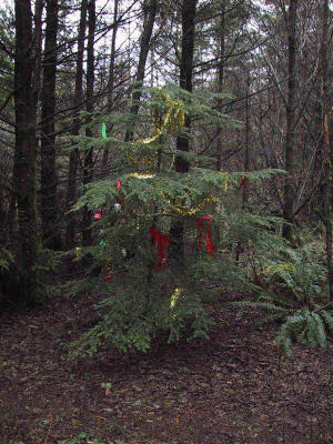 Christmas Tree (February 2001) |
 Tree |
 turn right on NIER Bypass Trail (11.8) |
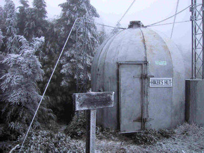 Hiker's Hut on T1 (February 2001) |
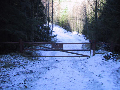 Gate to T2 (11.9) |
 T2 Antennae |
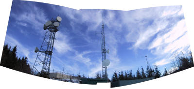
T2 Panorama (12.4) follow main trail to start (15.5); run another loop |
T2 view (12.4) (February 2001) |
| comment | share |