4/9/2005
Seven Springs 050409 25.jpg
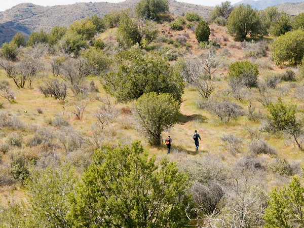
Heading back to the point were we made a wrong turn. This trail was taking us too far south and east.
4/9/2005
Hike path.jpg
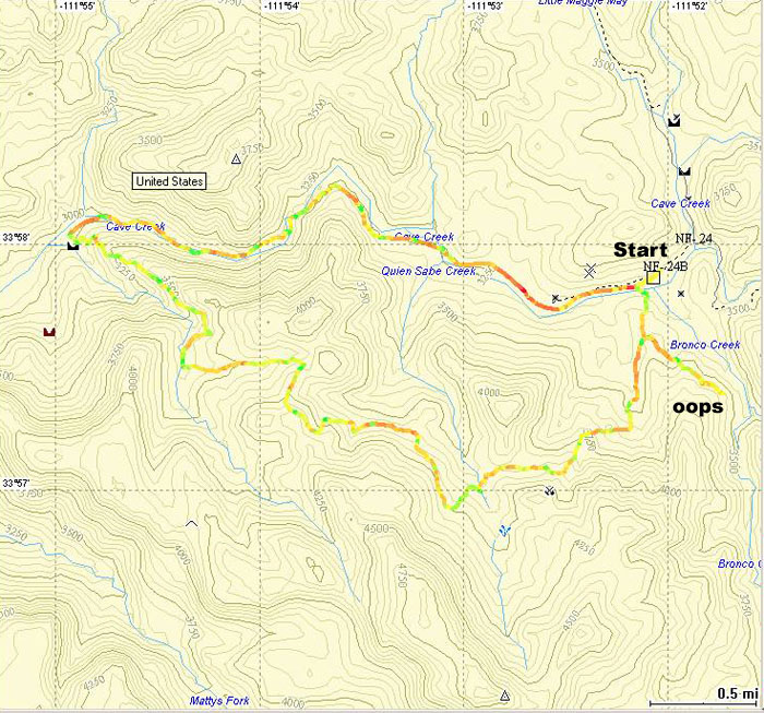
Map of the hike. We started at the Seven Springs Recreational Area in the upper right corner and followed a counter-clockwise path. Toward the end of the hike we made a wrong turn. The tail in the lower right corner (labeled "oops") is the leg we followed by mistake, and had to back track. The total distance of the hike was 9.67 miles, but it would have been about 0.98 miles shorter without the wrong turn.